2000s (21st Century) Maps of Fredenberg Township, Minnesota
Explore 20 historic maps of Fredenberg Township from the 2000s (21st Century). These maps offer a rare glimpse into what life looked like during the 2000s — showing old roads, neighborhoods, homes, and landmarks that have changed or disappeared over time.
Whether you're researching your family's past, planning a metal detecting trip, or studying how Fredenberg Township's landscape evolved across the 2000s, these high-resolution maps are a powerful tool for exploring the history of this region.
- Focus on a specific era: All maps on this page are from the 2000s, giving you a focused view of this time period.
- See what’s changed: Compare century-old streets, trails, and buildings to today's modern landscape using overlays and satellite layers.
- Research with precision: Use these maps for genealogy, historical research, land use analysis, or educational projects.
- View, download, or print: Maps are fully viewable online in high resolution, and can be downloaded or printed for your own records.
Start exploring Fredenberg Township's history through authentic maps from the 2000s. This is your window into the past.
Fredenberg Township, MN maps
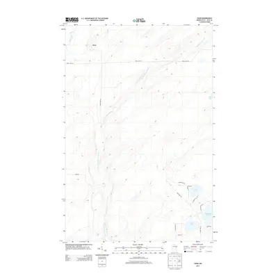
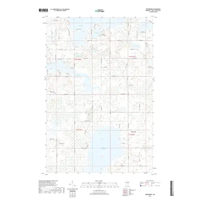
(20)- 2010 Map of Fredenberg, 2010 Print
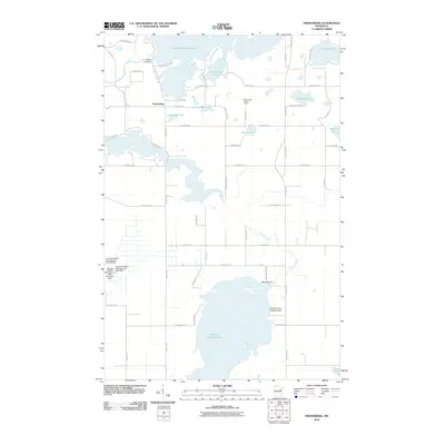 2010 Fredenberg2010 Print · USGSCovers Fredenberg Township, including Fredenberg, Rice Lake, and other nearby areas
 - 2010 Map of Twig, 2010 Print
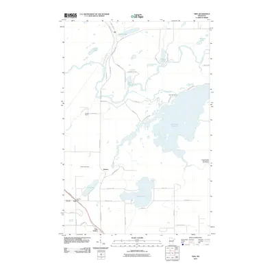 2010 Twig2010 Print · USGSCovers Fredenberg Township, including Bartlett, Taft, and other nearby areas
 - 2010 Map of Shaw, 2010 Print
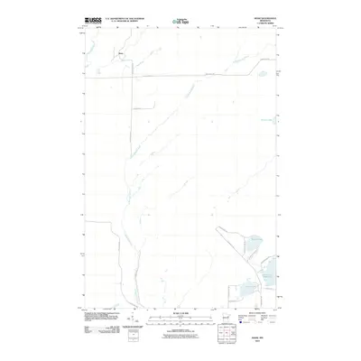 2010 Shaw2010 Print · USGSCovers Fredenberg Township, including Shaw, Grand Lake Township, and other nearby areas
 - 2010 Map of Boulder Lake Reservoir, 2010 Print
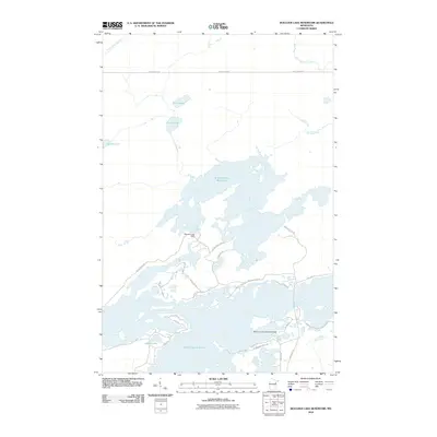 2010 Boulder Lake Reservoir2010 Print · USGSCovers Fredenberg Township, including Gnesen Township, Saint Louis County, and other nearby areas
 - 2013 Map of Shaw, 2013 Print
 2013 Shaw2013 Print · USGSCovers Fredenberg Township, including Shaw, Grand Lake Township, and other nearby areas
 - 2013 Map of Fredenberg, 2013 Print
 2013 Fredenberg2013 Print · USGSCovers Fredenberg Township, including Fredenberg, Rice Lake, and other nearby areas
 - 2013 Map of Twig, 2013 Print
 2013 Twig2013 Print · USGSCovers Fredenberg Township, including Bartlett, Taft, and other nearby areas
 - 2013 Map of Boulder Lake Reservoir, 2013 Print
 2013 Boulder Lake Reservoir2013 Print · USGSCovers Fredenberg Township, including Gnesen Township, Saint Louis County, and other nearby areas
 - 2016 Map of Boulder Lake Reservoir, 2016 Print
 2016 Boulder Lake Reservoir2016 Print · USGSCovers Fredenberg Township, including Gnesen Township, Saint Louis County, and other nearby areas
 - 2016 Map of Shaw, 2016 Print
 2016 Shaw2016 Print · USGSCovers Fredenberg Township, including Shaw, Grand Lake Township, and other nearby areas
 - 2016 Map of Fredenberg, 2016 Print
 2016 Fredenberg2016 Print · USGSCovers Fredenberg Township, including Fredenberg, Rice Lake, and other nearby areas
 - 2016 Map of Twig, 2016 Print
 2016 Twig2016 Print · USGSCovers Fredenberg Township, including Bartlett, Taft, and other nearby areas
 - 2019 Map of Shaw, 2019 Print
 2019 Shaw2019 Print · USGSCovers Fredenberg Township, including Shaw, Grand Lake Township, and other nearby areas
 - 2019 Map of Boulder Lake Reservoir, 2019 Print
 2019 Boulder Lake Reservoir2019 Print · USGSCovers Fredenberg Township, including Gnesen Township, Saint Louis County, and other nearby areas
 - 2019 Map of Fredenberg, 2019 Print
 2019 Fredenberg2019 Print · USGSCovers Fredenberg Township, including Fredenberg, Rice Lake, and other nearby areas
 - 2019 Map of Twig, 2019 Print
 2019 Twig2019 Print · USGSCovers Fredenberg Township, including Bartlett, Taft, and other nearby areas
 - 2022 Map of Shaw, 2022 Print
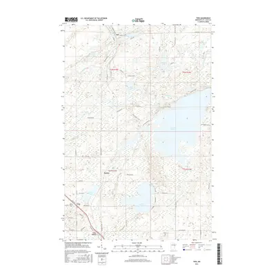
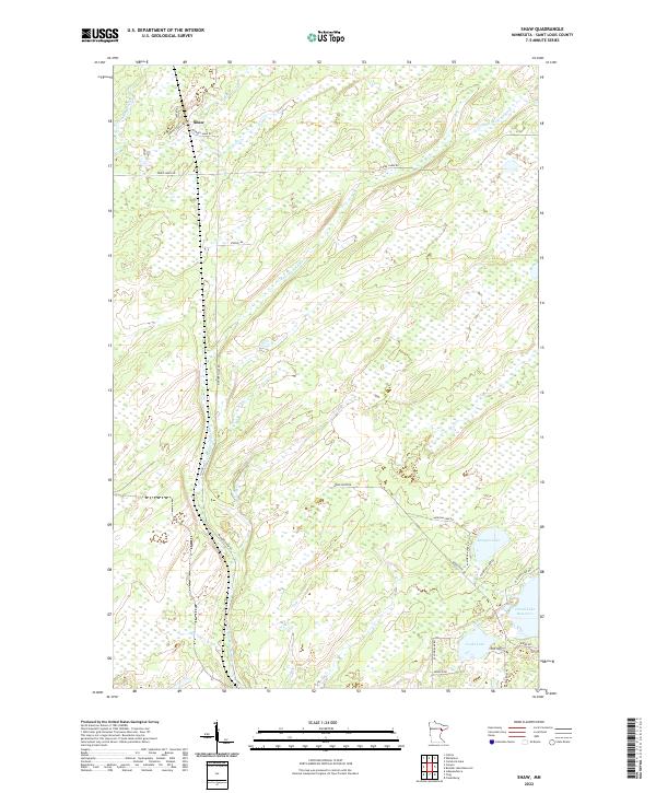 2022 Shaw2022 Print · USGSNorthern Minnesota's lake and river country is captured here in the early twenty-first century near the settlement of Shaw. Researchers can trace the winding Us-Kab-Wan-Ka River and find local landmarks like Morgan Lake, Cooks Lake, and Island Lake Reservoir.
 - 2022 Map of Fredenberg, 2022 Print
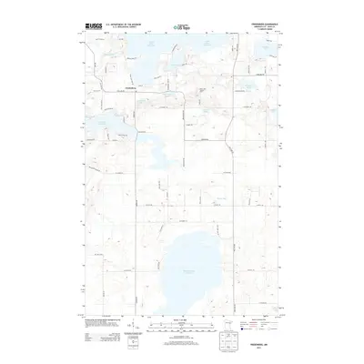
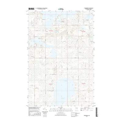
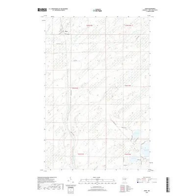
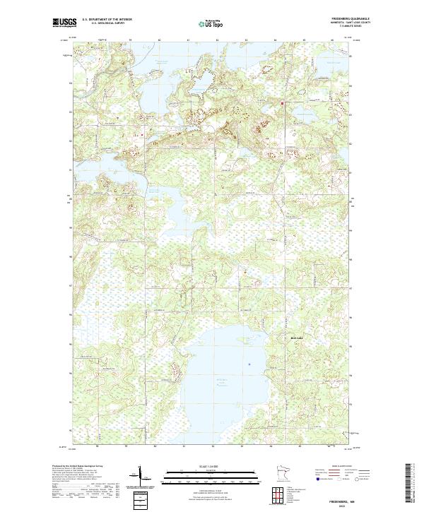 2022 Fredenberg2022 Print · USGSSt. Louis County is defined by its massive reservoirs and winding rivers in the early twenty-first century. Researchers can trace lakeside developments along Fish Lake Reservoir and locate family landmarks near Mirror Lake and Schultz Lake.
 - 2022 Map of Twig, 2022 Print
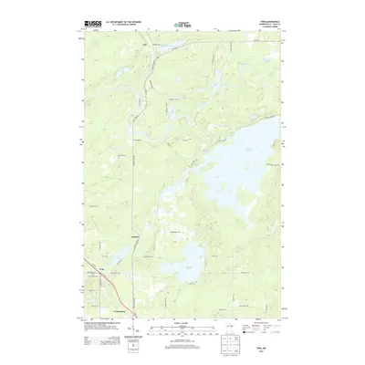
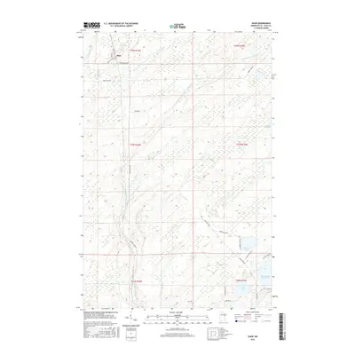
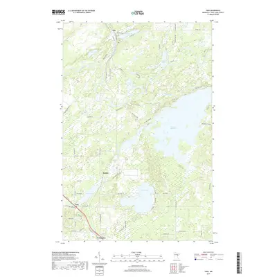
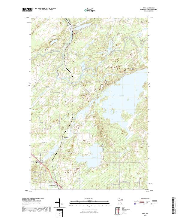 2022 Twig2022 Print · USGSSaint Louis County is mapped here in the early twenty-first century as a landscape of timber, trails, and expansive water. Researchers can locate family sites near Twig, trace the Old Railroad Grade, or find records at Grand Lake Cem.
 - 2022 Map of Boulder Lake Reservoir, 2022 Print
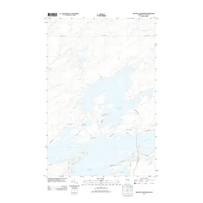
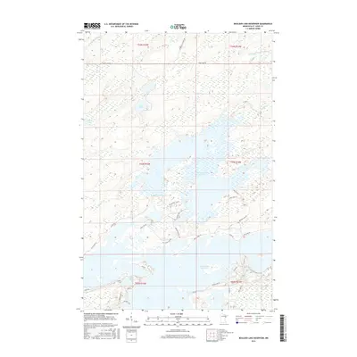
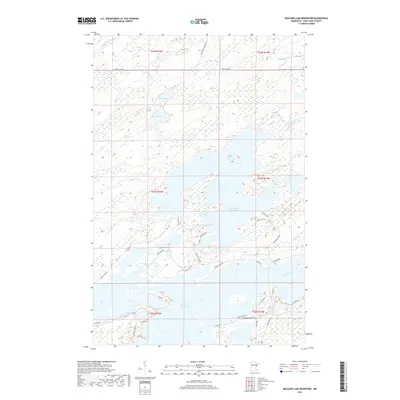
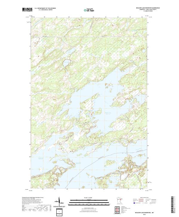 2022 Boulder Lake Reservoir2022 Print · USGSThe St. Louis County lake country is shown here in its modern state, centered on the significant water storage and recreation areas of the North Woods. Researchers can trace the complex shorelines and access routes like Boulder Dam Rd, Bear Island Rd, and the Cloquet River Trl.
End of results
Showing maps 1-20 of 20
Top cities near Fredenberg Township
- Duluth historical maps
- Cloquet historical maps
- Hermantown historical maps
- Proctor historical maps
- Fredenberg historical maps
Top neighborhoods of Fredenberg Township
Frequently asked questions
- What are the different types of historical maps available for Fredenberg Township?
- What is the oldest map of Fredenberg Township?
- Where can I purchase historical maps of Fredenberg Township for my home or office?
- Where can I download high-res historical maps of Fredenberg Township?
- Are there historical topographic maps available for Fredenberg Township?
- Is there historical aerial imagery available for Fredenberg Township?
- Where are historical maps of Fredenberg Township sourced from?