Old Maps of Fredenberg Township, Minnesota for Genealogy
Trace your family roots with 34 historic maps of Fredenberg Township. These high-res maps reveal old neighborhoods, homesites, landmarks, and streets — helping you uncover where your ancestors lived and how the area evolved over time.
- Explore historic neighborhoods: Identify where your relatives may have lived in the 1800s or 1900s.
- Compare maps over time: Trace the changes in streets, buildings, and landmarks for multi-generational research.
- Perfect for genealogy & ancestry research: Used by family historians and researchers to map out lineage and migration.
These maps are an incredible resource for exploring your personal connection to Fredenberg Township's past.
Fredenberg Township, MN maps
(34)- 1895 Map of Duluth
 1895 Duluth1895 Print · USGSDuluth in the mid-1890s shows a rapidly expanding port city before the turn of the century. Genealogists and historians can trace the early street grids of Woodland Park and Lester Park or explore the original shoreline of Duluth Harbor.5 unique versions available
 - 1953 Map of Twig, 1954 Print
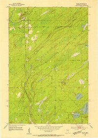
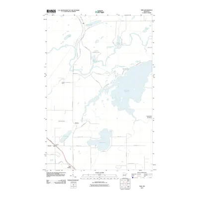
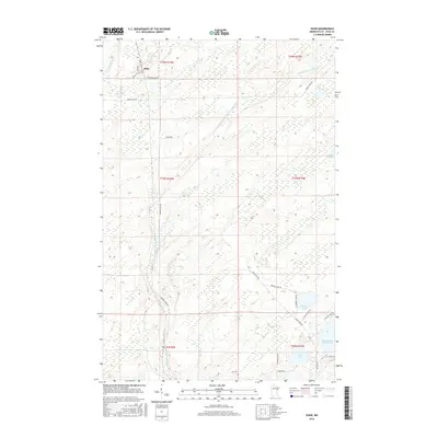
 1953 Twig1954 Print · USGSSt. Louis County is captured here in the early fifties, showing a landscape defined by the expansive Fish Lake Reservoir and state forest lands. Researchers can trace local history through the Duluth Winnipeg and Pacific rail line and sites like the Grand Lake Cem and Caribou Lake Sch.6 unique versions available
 - 1953 Map of Shaw, 1954 Print
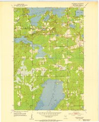
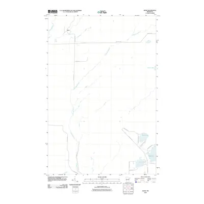
 1953 Shaw1954 Print · USGSSt. Louis County timberlands and rail corridors are documented here in the early fifties as the region supported local industry. Genealogists and historians can trace the Duluth Winnipeg and Pacific tracks past Shaw or locate family sites near Cooks Lake and Morgan Lake.4 unique versions available
 - 1953 Map of Boulder Lake Reservoir, 1955 Print
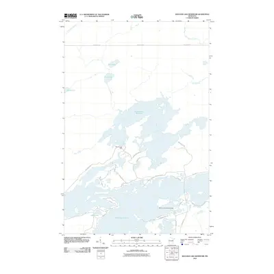
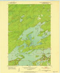 1953 Boulder Lake Reservoir1955 Print · USGSSt. Louis County water levels and forest boundaries are frozen in time during the early fifties. Genealogists and historians can trace the topography of Gnesen and Fredenberg or explore the vast reaches of the Cloquet Valley State Forest.4 unique versions available
 - 1953 Map of Fredenberg, 1955 Print
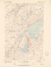
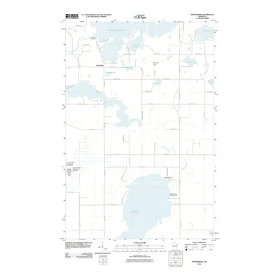
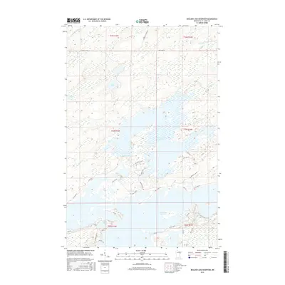
 1953 Fredenberg1955 Print · USGSThe reservoirs of St. Louis County are captured here in the early fifties, showing a transition from timber and rail to a landscape of managed water. Genealogists and historians can trace the Old Railroad Grade, the remote Mirror Lake Lookout Tower, and the lakeside community around Fredenberg.4 unique versions available
 - 1953 Map of Duluth, 1959 Print
 1953 Duluth1959 Print · USGSThe port city of Duluth and its timber-and-iron hinterlands are captured here in the early 1950s. Genealogists and historians can locate family landmarks from Minnesota Point to the Duluth Municipal Airport, including Calvary Cem and Lakewood Sch.
 - 1953 Map of Duluth, 1964 Print
 1953 Duluth1964 Print · USGSNortheastern Minnesota and northwestern Wisconsin are shown here during a period of industrial maturity and expanding conservation. Genealogists and historians can trace rail-connected towns like McGrath and Wahkon, or locate heritage sites within the Fond du Lac Indian Reservation.2 unique versions available
 - 1954 Map of Hibbing, 1966 Print
 1954 Hibbing1966 Print · USGSNorthern Minnesota's Iron Range thrives during the mid-1960s, showing the industrial landscape between the Mesabi Range and the Mississippi River. Genealogists and historians can trace the rail lines of the Great Northern RR through mining hubs like Hibbing and Virginia.3 unique versions available
 - 1957 Map of Hibbing
 1957 Hibbing1957 Print · USGSNorthern Minnesota's Iron Range is shown at its industrial peak in the mid-fifties, dominated by the massive iron pits and rail corridors of the Mesabi Range. Researchers can trace the rail networks of the Duluth Missabe and Iron Range and locate mining hubs like Hibbing, Virginia, and Bovey.
 - 1958 Map of Hibbing
 1958 Hibbing1958 Print · USGSThe Mesabi Iron Range reached its mid-century height during this era, defining the landscape between Grand Rapids and Virginia. Genealogists and historians can trace the mining-town networks of Hibbing and Chisholm or locate numerous iron mines and rail spurs.
 - 1958 Map of Duluth
 1958 Duluth1958 Print · USGSNortheastern Minnesota and the Wisconsin borderlands are shown in detail during the late 1950s, centered on the bustling rail yards and ports of Duluth. You can trace the historic routes of the Soo Line and Duluth Missabe & Iron Range through small towns like McGrath, Bruno, and Wrenshall.
 - 1964 Map of Hibbing
 1964 Hibbing1964 Print · USGSNorthern Minnesota’s iron-rich corridor is captured here during a peak era of mid-century industrial activity. Researchers can trace the rail-to-mine connections through Mesabi Range towns like Hibbing and Virginia or locate lakefront settlements near Pokegama Lake.
 - 1977 Map of Hibbing, 1994 Print
 1977 Hibbing1994 Print · USGSThe Iron Range of northern Minnesota comes into sharp focus during the late seventies, detailing the massive mining works and rail networks of St. Louis County. Researchers can trace family roots in Hibbing, Chisholm, and Virginia, or locate old post offices like Leoneth and Iron.
 - 1980 Map of Duluth
 1980 Duluth1980 Print · USGSThe Twin Ports of the early 1980s showcase a landscape defined by heavy rail lines and Lake Superior shipping. Trace the iron-ore routes through Proctor or locate family sites near Sunrise Memorial Cem and Floodwood.
 - 2010 Map of Fredenberg, 2010 Print
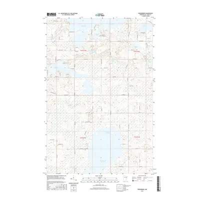
 2010 Fredenberg2010 Print · USGSCovers Fredenberg Township, including Fredenberg, Rice Lake, and other nearby areas
 - 2010 Map of Twig, 2010 Print
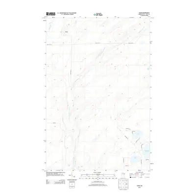
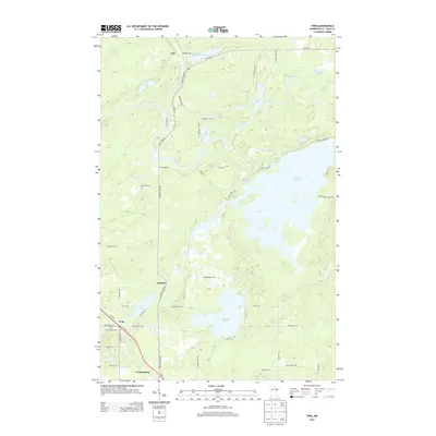
 2010 Twig2010 Print · USGSCovers Fredenberg Township, including Bartlett, Taft, and other nearby areas
 - 2010 Map of Shaw, 2010 Print
 2010 Shaw2010 Print · USGSCovers Fredenberg Township, including Shaw, Grand Lake Township, and other nearby areas
 - 2010 Map of Boulder Lake Reservoir, 2010 Print
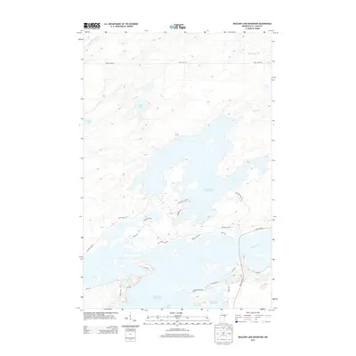
 2010 Boulder Lake Reservoir2010 Print · USGSCovers Fredenberg Township, including Gnesen Township, Saint Louis County, and other nearby areas
 - 2013 Map of Shaw, 2013 Print
 2013 Shaw2013 Print · USGSCovers Fredenberg Township, including Shaw, Grand Lake Township, and other nearby areas
 - 2013 Map of Fredenberg, 2013 Print
 2013 Fredenberg2013 Print · USGSCovers Fredenberg Township, including Fredenberg, Rice Lake, and other nearby areas
 - 2013 Map of Twig, 2013 Print
 2013 Twig2013 Print · USGSCovers Fredenberg Township, including Bartlett, Taft, and other nearby areas
 - 2013 Map of Boulder Lake Reservoir, 2013 Print
 2013 Boulder Lake Reservoir2013 Print · USGSCovers Fredenberg Township, including Gnesen Township, Saint Louis County, and other nearby areas
 - 2016 Map of Boulder Lake Reservoir, 2016 Print
 2016 Boulder Lake Reservoir2016 Print · USGSCovers Fredenberg Township, including Gnesen Township, Saint Louis County, and other nearby areas
 - 2016 Map of Shaw, 2016 Print
 2016 Shaw2016 Print · USGSCovers Fredenberg Township, including Shaw, Grand Lake Township, and other nearby areas
 - 2016 Map of Fredenberg, 2016 Print
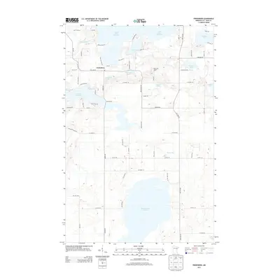
 2016 Fredenberg2016 Print · USGSCovers Fredenberg Township, including Fredenberg, Rice Lake, and other nearby areas
Showing maps 1-25 of 34
Top cities near Fredenberg Township
- Duluth historical maps
- Cloquet historical maps
- Hermantown historical maps
- Proctor historical maps
- Fredenberg historical maps
Top neighborhoods of Fredenberg Township
Frequently asked questions
- What are the different types of historical maps available for Fredenberg Township?
- What is the oldest map of Fredenberg Township?
- Where can I purchase historical maps of Fredenberg Township for my home or office?
- Where can I download high-res historical maps of Fredenberg Township?
- Are there historical topographic maps available for Fredenberg Township?
- Is there historical aerial imagery available for Fredenberg Township?
- Where are historical maps of Fredenberg Township sourced from?