
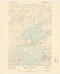
1953 Map of Boulder Lake Reservoir
USGS Topo · Published 1955About this map
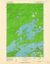
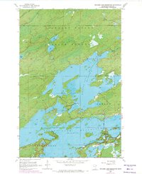
Cloquet Valley State Forest dominates this northern Minnesota landscape, reflecting a mid-century period focused on conservation and water resource management. Centered on the sprawling reaches of the Boulder Lake Reservoir, the map illustrates a complex hydraulic system managed by the timber and power interests of the era. The terrain transitions from the protected timberlands of the forest down toward the organized townships of Gnesen and Fredenberg in the south. The Us-Kab-Wan-Ka River flows through the northwestern corner, providing a glimpse into the original drainage patterns before the construction of massive reservoirs like Island Lake Reservoir. This survey provides researchers with a precise look at the shoreline at its 1950s elevations, including many unnamed islands and the specific forest boundaries that defined local land use.
Find a feature on this map
14 named features on this map. Tap any name to fly to it.
Don’t see what you’re looking for? This feature index may not catch every label — zoom into the map to look around manually.
Map Details
Editions of this 1953 Boulder Lake Reservoir Map
4 editions found
Other maps of this area

1895 · Duluth
USGS Topo · 1:62,500

1953 · Twig
USGS Topo · 1:24,000

1953 · Shaw
USGS Topo · 1:24,000

1953 · Arnold
USGS Topo · 1:24,000

1953 · Fredenberg
USGS Topo · 1:24,000

1953 · Duluth
USGS Topo · 1:62,500

1953 · Duluth
USGS Topo · 1:250,000

1954 · Thompson Lake
USGS Topo · 1:24,000

1954 · Hibbing
USGS Topo · 1:250,000

1956 · Whiteface
USGS Topo · 1:24,000