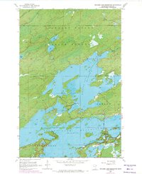
1953 Map of Boulder Lake Reservoir
USGS Topo · Published 1971About this map
The Cloquet Valley State Forest dominates the northern reaches of this landscape, a heavily wooded region in St. Louis County shaped by mid-century water management. The primary focus is the sprawling Boulder Lake Reservoir, its irregular shoreline and numerous islands creating a complex aquatic environment for the townships of Gnesen and Fredenberg. To the south, the northern tip of the Island Lake Reservoir appears, indicating the interconnected nature of the regional drainage basin. Small natural water bodies like Nevens Lake, Apple Lake, and the Twin Lakes contrast with the larger reservoirs, while the Us-kab-wan-Ka River and Boulder Creek feed the system. This survey, updated with 1969 revisions, documents the forest boundary and the established water levels that defined this part of the Minnesota wilderness during the post-war era.
Find a feature on this map
12 named features on this map. Tap any name to fly to it.
Don’t see what you’re looking for? This feature index may not catch every label — zoom into the map to look around manually.
Map Details
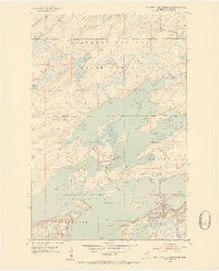
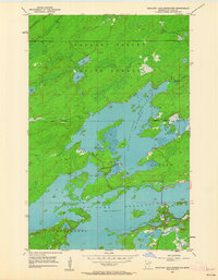
Editions of this 1953 Boulder Lake Reservoir Map
4 editions found
Other maps of this area

1895 · Duluth
USGS Topo · 1:62,500

1953 · Twig
USGS Topo · 1:24,000

1953 · Shaw
USGS Topo · 1:24,000

1953 · Arnold
USGS Topo · 1:24,000

1953 · Boulder Lake Reservoir
USGS Topo · 1:24,000

1953 · Fredenberg
USGS Topo · 1:24,000

1953 · Duluth
USGS Topo · 1:62,500

1953 · Duluth
USGS Topo · 1:250,000

1954 · Thompson Lake
USGS Topo · 1:24,000

1954 · Hibbing
USGS Topo · 1:250,000