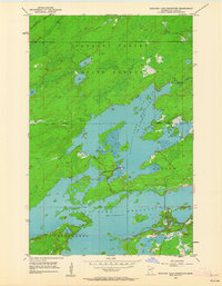
1953 Map of Boulder Lake Reservoir
USGS Topo · Published 1962About this map
Cloquet Valley State Forest dominates the northern reaches of this mid-century survey, where the Us-Kab-Wan-Ka River feeds into a landscape heavily shaped by hydraulic engineering. The topography is defined by the expansive Boulder Lake Reservoir at a normal elevation of 1391 feet, and the northern edge of the Island Lake Reservoir to the south. These artificial water bodies, characterized by their intricate, island-studded shorelines, contrast with the smaller natural basins of Twin Lakes and Nevens Lake. The boundary between the townships of Gnesen and Fredenberg is clearly delineated near the southern reservoir, providing a precise record of local civil divisions during the early 1950s. Boulder Creek winds through the eastern timberlands, illustrating the drainage patterns that support this managed watershed in St. Louis County.
Find a feature on this map
11 named features on this map. Tap any name to fly to it.
Don’t see what you’re looking for? This feature index may not catch every label — zoom into the map to look around manually.
Map Details
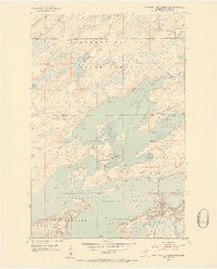
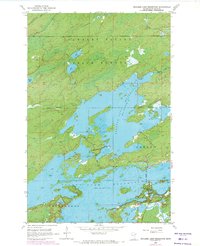
Editions of this 1953 Boulder Lake Reservoir Map
4 editions found
Other maps of this area

1895 · Duluth
USGS Topo · 1:62,500

1953 · Twig
USGS Topo · 1:24,000

1953 · Shaw
USGS Topo · 1:24,000

1953 · Arnold
USGS Topo · 1:24,000

1953 · Boulder Lake Reservoir
USGS Topo · 1:24,000

1953 · Fredenberg
USGS Topo · 1:24,000

1953 · Duluth
USGS Topo · 1:62,500

1953 · Duluth
USGS Topo · 1:250,000

1954 · Thompson Lake
USGS Topo · 1:24,000

1954 · Hibbing
USGS Topo · 1:250,000