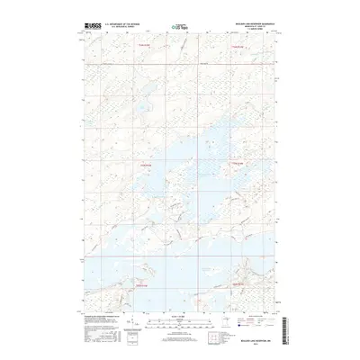
2016 Map of Boulder Lake Reservoir
USGS Topo · Published 2016About this map
Boulder Lake Reservoir and Island Lake Reservoir dominate this northern Minnesota landscape, where managed waterways meet a dense network of residential and recreational access roads. The complex shoreline of these reservoirs is defined by numerous points and islands, such as those reached by Birch Isle RD and Bear Island Rd. This 2016 survey illustrates the modern configuration of the regional watershed, including the Us-Kab-Wan-Ka River and several smaller bodies of water like Apple Lake and Twin Lakes.
Find a feature on this map
39 named features on this map. Tap any name to fly to it.
Don’t see what you’re looking for? This feature index may not catch every label — zoom into the map to look around manually.
Map Details
Editions of this 2016 Boulder Lake Reservoir Map
This is the sole edition of this map. No revisions or reprints were ever made.
Other maps of this area

1895 · Duluth
USGS Topo · 1:62,500

1953 · Twig
USGS Topo · 1:24,000

1953 · Shaw
USGS Topo · 1:24,000

1953 · Arnold
USGS Topo · 1:24,000

1953 · Boulder Lake Reservoir
USGS Topo · 1:24,000

1953 · Fredenberg
USGS Topo · 1:24,000

1953 · Duluth
USGS Topo · 1:62,500

1953 · Duluth
USGS Topo · 1:250,000

1954 · Thompson Lake
USGS Topo · 1:24,000

1954 · Hibbing
USGS Topo · 1:250,000