2020s Maps of Issaquena County, Mississippi
Explore 42 historic maps of Issaquena County from the 2020s. These maps offer a rare glimpse into what life looked like during the 2020s — showing old roads, neighborhoods, homes, and landmarks that have changed or disappeared over time.
Whether you're researching your family's past, planning a metal detecting trip, or studying how Issaquena County's landscape evolved across the 2020s, these high-resolution maps are a powerful tool for exploring the history of this region.
- Focus on a specific era: All maps on this page are from the 2020s, giving you a focused view of this time period.
- See what’s changed: Compare century-old streets, trails, and buildings to today's modern landscape using overlays and satellite layers.
- Research with precision: Use these maps for genealogy, historical research, land use analysis, or educational projects.
- View, download, or print: Maps are fully viewable online in high resolution, and can be downloaded or printed for your own records.
Start exploring Issaquena County's history through authentic maps from the 2020s. This is your window into the past.
Issaquena County, MS maps
(42)- 2020 Map of Readland, 2020 Print
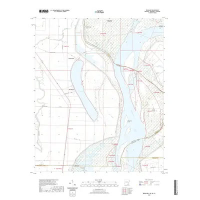 2020 Readland2020 Print · USGSThe Arkansas-Mississippi-Louisiana border region comes into sharp focus during this modern survey of the river's alluvial plain. Researchers can trace the shifting river channel through Matthews Bend, the settlement at Readland, and remote backwaters like Gassoway Lake.
 - 2020 Map of Sondheimer, 2020 Print
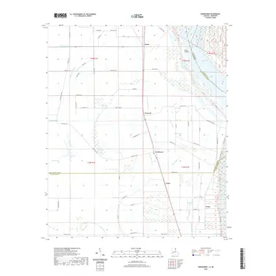 2020 Sondheimer2020 Print · USGSThe Mississippi Delta's agricultural heartland comes into focus in this recent survey of the Louisiana-Mississippi borderlands. Researchers can trace rural parish roads and find the small communities of Alsatia, Roosevelt, and Sondheimer along the winding Little Tensas Bayou.
 - 2020 Map of Millikin, 2020 Print
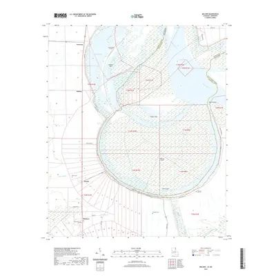 2020 Millikin2020 Print · USGSEast Carroll Parish is captured here along the Mississippi River during a period of modern levee management and rural farming. Researchers can trace family roots at King Solomon Cem, Old Saint Paul Cem, or the small settlement at Panola.
 - 2020 Map of Transylvania, 2020 Print
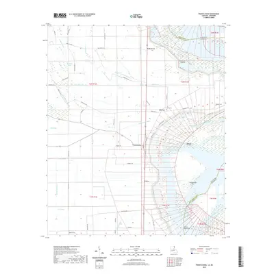 2020 Transylvania2020 Print · USGSEast Carroll Parish sits along the winding Mississippi River in this recent survey, showcasing a landscape of fertile alluvial plains and active river features. Researchers can trace the layout of Transylvania and Grimes or locate local burial sites like Cold Tar Cem and Benjamin Cem.
 - 2020 Map of Lake Providence, 2020 Print
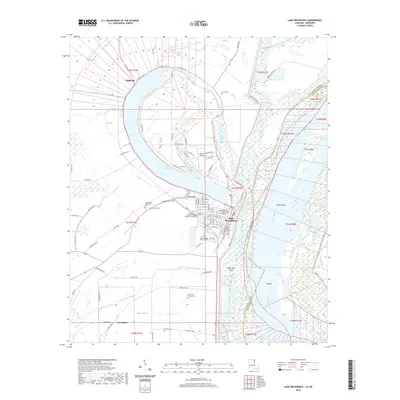 2020 Lake Providence2020 Print · USGSEast Carroll Parish sits along the great bend of the Mississippi River in the modern era. Genealogists and local researchers can locate family sites at Tyrone Cemetery or St John Church, and trace the landscape from Stack Island to the Tensas Basin.
 - 2020 Map of Mayersville, 2020 Print
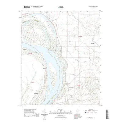 2020 Mayersville2020 Print · USGSIssaquena County sits at the edge of the Mississippi River in this 2020 map, where the winding river dictates the shape of the land. Researchers can trace the layout of Mayersville, locate the Issaquena County Courthouse, and explore local landmarks like Duncansby Towhead.
 - 2020 Map of Eagle Bend, 2020 Print
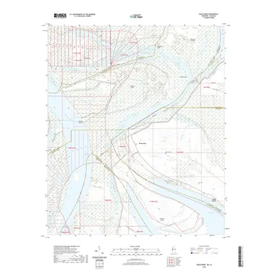 2020 Eagle Bend2020 Print · USGSThe river borders of Mississippi and Louisiana meet here along the shifting bends of the Mississippi River. Genealogists and researchers can trace local family roots at Brunswick, Eagle Bend, and landmarks like Brunswick Cemetery or Kiger Cemetery.
 - 2020 Map of Whiting Bayou, 2020 Print
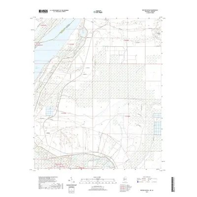 2020 Whiting Bayou2020 Print · USGSThe Mississippi Delta landscape along the Issaquena County border is captured here in recent years, showing a region defined by river engineering and alluvial history. Researchers can trace the layout of Tallula and local landmarks like Poindexter Island, Carlisle Lake, and Whiting Bayou.
 - 2020 Map of Fitler, 2020 Print
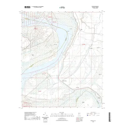 2020 Fitler2020 Print · USGSThe Mississippi River borderlands between Louisiana and Mississippi come into focus here during the early twenty-first century. Researchers can trace the shift of local river life from Fitler to New Fitler and locate landmarks like the Albemarle Crevasse.
 - 2020 Map of Glen Allan, 2020 Print
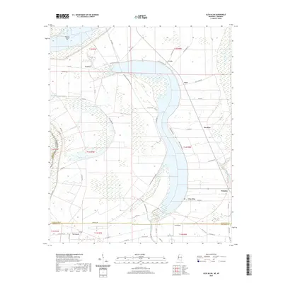 2020 Glen Allan2020 Print · USGSThe Mississippi Delta's oxbow country is preserved here in the late twenty-teens, showing the agricultural heart of Washington County. Researchers can trace family sites and local landmarks near Chatham, Glen Allan, and the shores of Lake Washington.
 - 2020 Map of Cary, 2020 Print
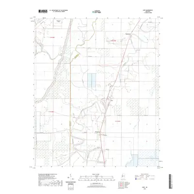 2020 Cary2020 Print · USGSThe alluvial flats of the Mississippi Delta are captured in this recent survey of Sharkey and Issaquena counties. Genealogists can trace the rural communities of Cary and Egremont, locating the Danover Cem and family-named routes like Moore Rd.
 - 2020 Map of Rolling Fork West, 2020 Print
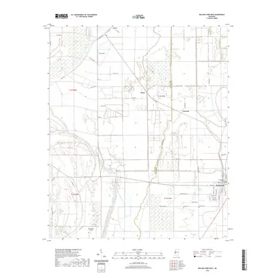 2020 Rolling Fork West2020 Print · USGSSharkey County in the modern era remains a landscape shaped by the winding waters of the Mississippi Delta. Genealogists and local historians can locate Weathers Cemetery, trace the course of Steele Bayou, and explore the streets of Rolling Fork.
 - 2020 Map of Redwood, 2020 Print
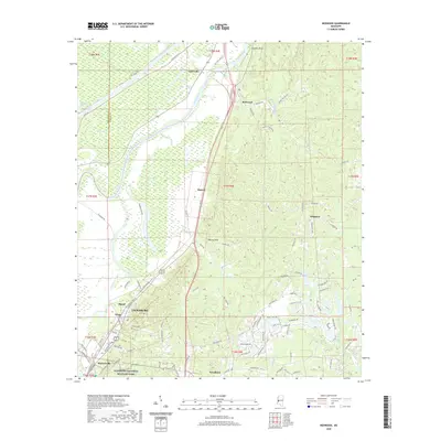 2020 Redwood2020 Print · USGSThe Yazoo River basin meets the historic bluffs north of Vicksburg in this detailed survey of the Warren County landscape. Genealogists and historians can trace the grounds of Vicksburg National Military Park and locate Crocket Cem or the community of Redwood.
 - 2020 Map of Long Lake, 2020 Print
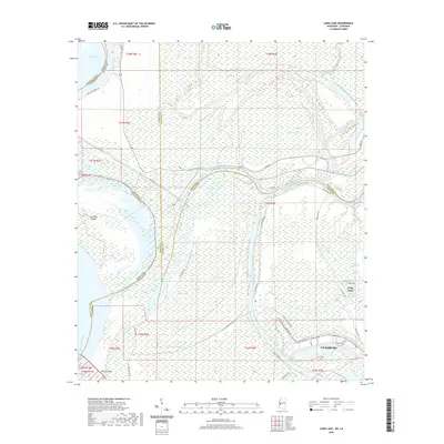 2020 Long Lake2020 Print · USGSThe northern industrial reaches of the Delta come to life in this survey of the river country. Researchers can trace the shifting Mississippi shoreline near Paw Paw Island and explore the historic road networks around Long Lake and Kings Point Ferry Rd.
 - 2020 Map of Onward, 2020 Print
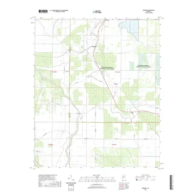 2020 Onward2020 Print · USGSThe Mississippi Delta's wetlands and wildlife corridors are documented here in the early 2020s. Genealogists and local historians can trace the rural landscape surrounding Onward and Kelso along the banks of Steele Bayou and Deer Creek.
 - 2020 Map of Cane Bayou, 2020 Print
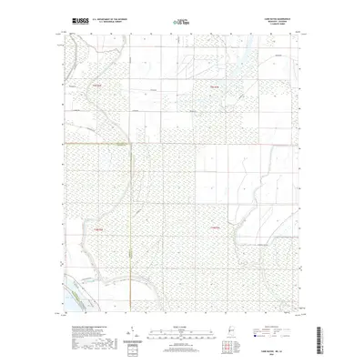 2020 Cane Bayou2020 Print · USGSThe Mississippi Delta's intricate wetlands and oxbow landscapes are documented here in the 2020s. Researchers can trace the winding course of Steele Bayou and locate rural access points along Newman Rd and Muddy Bayou Rd.
 - 2020 Map of Percy, 2020 Print
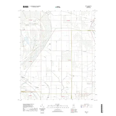 2020 Percy2020 Print · USGSThe Mississippi Delta wetlands and rural crossroads are captured in the year 2020. Local researchers can trace family landmarks near Canaan Hill Cem and the small settlements of Percy, Grace, and Hampton along the Steele Bayou.
 - 2021 Map of Floweree, 2021 Print
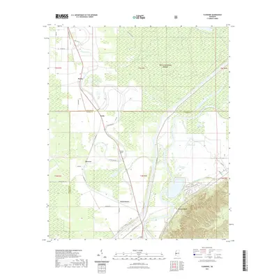 2021 Floweree2021 Print · USGSThe Mississippi Delta's bottomlands and the winding Yazoo River are documented here in the early twenty-first century. Genealogists and local historians can trace family-named sites and rural crossroads like Katzenmeyer, Haynes Bluff, and the small community of Floweree.
 - 2021 Map of Valley Park, 2021 Print
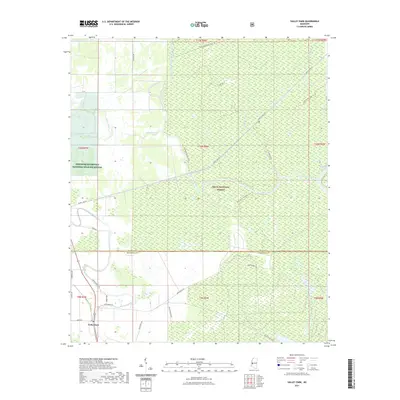 2021 Valley Park2021 Print · USGSValley Park and the deep Mississippi Delta wetlands are captured here in the early twenty-first century. Researchers can trace the winding paths of Little Sunflower River and Deer Creek or locate landmarks like Dummy Line Rd and the Delta National Forest.
 - 2021 Map of Lucre, 2021 Print
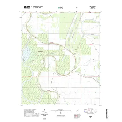 2021 Lucre2021 Print · USGSYazoo County and the surrounding Delta bottomlands are captured here in the early 2020s, showing a land shaped by the Big Sunflower River. Researchers can trace the water-control networks of the Will M Whittington Auxiliary Channel and the boundaries of the Delta National Forest.
 - 2021 Map of Eldorado, 2021 Print
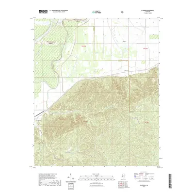 2021 Eldorado2021 Print · USGSWarren County, Mississippi, is captured here in the early 2020s where the river bottoms meet the steep hills. Researchers can trace the winding paths of Possum Hollow Rd and Oak Ridge Rd as they connect the settlements of Eldorado and Ballground.
 - 2024 Map of Valley Park, 2024 Print
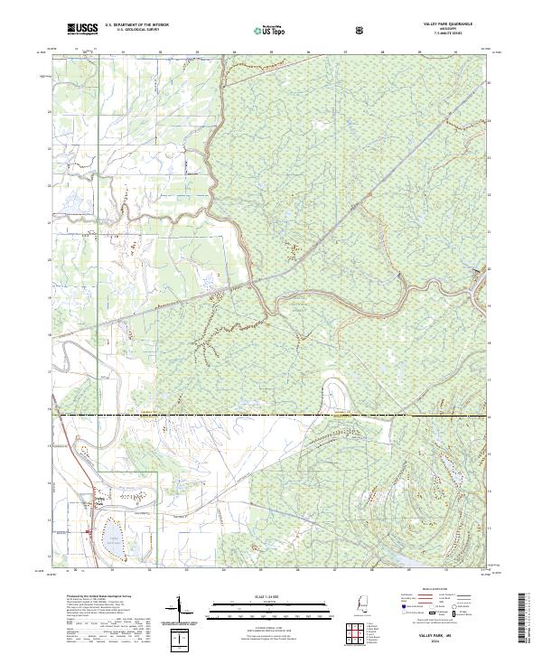 2024 Valley Park2024 Print · USGSThe Issaquena County wetlands and the southern Delta National Forest are captured in this modern survey. Researchers can trace land management boundaries and water features like Valley Park Lake, Deer Creek, and Spanish Fort Rd.
 - 2024 Map of Onward, 2024 Print
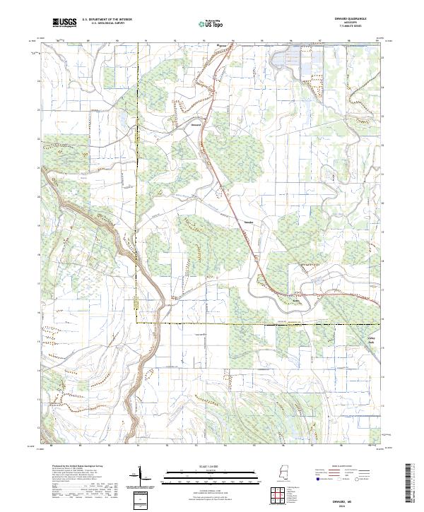 2024 Onward2024 Print · USGSThe lower Mississippi Delta's intricate network of bayous and wildlife lands is shown in this contemporary study of Issaquena and Sharkey counties. Local researchers can trace the roads and waterways connecting Onward, Kelso, and the Theodore Roosevelt National Wildlife Refuge.
 - 2024 Map of Mayersville, 2024 Print
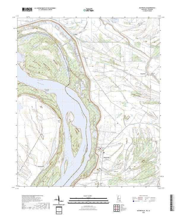 2024 Mayersville2024 Print · USGSThe Mississippi Delta riverfront comes into focus in this contemporary survey of Issaquena County. Researchers can locate the Issaquena County Courthouse in Mayersville and trace historic crossings and landings such as Lakeside Ferry and Wilson Point.
 - 2024 Map of Cary, 2024 Print
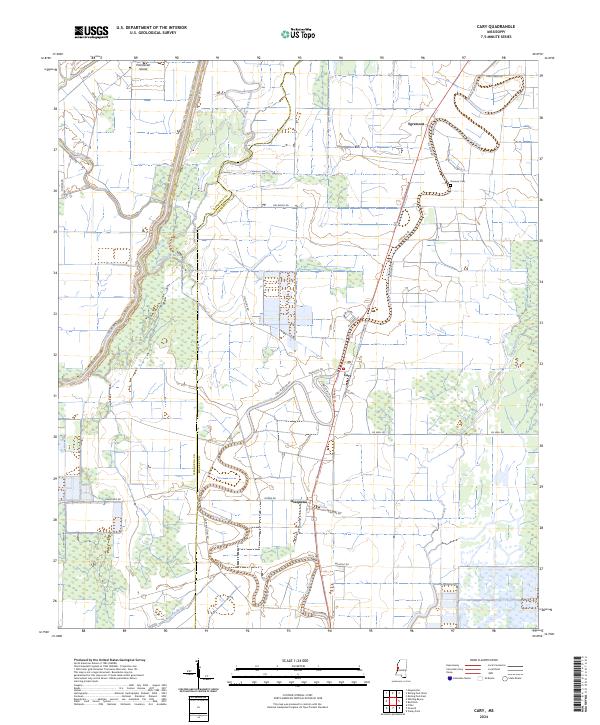 2024 Cary2024 Print · USGSThe fertile Mississippi Delta lands of Sharkey and Issaquena counties appear here in contemporary detail. Genealogists and local historians can locate Danover Cem and trace the small rural communities of Cary and Egremont along the banks of Deer Creek.
Showing maps 1-25 of 42
Top cities of Issaquena County
Frequently asked questions
- What are the different types of historical maps available for Issaquena County?
- What is the oldest map of Issaquena County?
- Where can I purchase historical maps of Issaquena County for my home or office?
- Where can I download high-res historical maps of Issaquena County?
- Are there historical topographic maps available for Issaquena County?
- Is there historical aerial imagery available for Issaquena County?
- Where are historical maps of Issaquena County sourced from?