Old Maps of Montrose, Mississippi for Academic Research
Study the evolution of Montrose with 23 high-resolution historic maps. Whether you're teaching, researching, or modeling changes in land use, these maps provide essential visual documentation of urban, environmental, and geographic change.
- Analyze long-term change: Track patterns in development, transportation, and natural features.
- Ideal for environmental or urban studies: Support academic projects with primary historical map data.
- Use in the classroom or lab: Educators and researchers rely on these maps to bring historical context to life.
These maps are a powerful tool for teaching, research, and visualizing how Montrose has changed over the decades.
Montrose, MS maps
(23)- 1953 Map of Meridian, 1966 Print
 1953 Meridian1966 Print · USGSEast Central Mississippi and the Alabama borderlands are captured here during a period of steady growth and infrastructure expansion. Genealogists and historians can trace rail-town development along the Gulf Mobile & Ohio Railroad and find early settlements like Scooba, Pelahatchie, and De Kalb.2 unique versions available
 - 1957 Map of Meridian
 1957 Meridian1957 Print · USGSEast Central Mississippi and parts of Western Alabama come alive in the mid-1950s, centered on the transit hub of Meridian. Researchers can trace old rail lines like the Illinois Central and find historic sites such as the Choctaw Indian Reservation and Roosevelt State Park.
 - 1965 Map of Meridian
 1965 Meridian1965 Print · USGSEast Mississippi and West Alabama are mapped here in the mid-sixties as the region's modern highway and reservoir systems began to take shape. Researchers can trace rural lineages through local landmarks like Prince Chapel and Tuscahoma Landing, or follow the historic Gulf Mobile & Ohio rail lines.
 - 1968 Map of Louin, 1970 Print
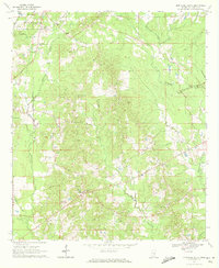
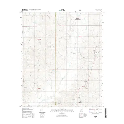
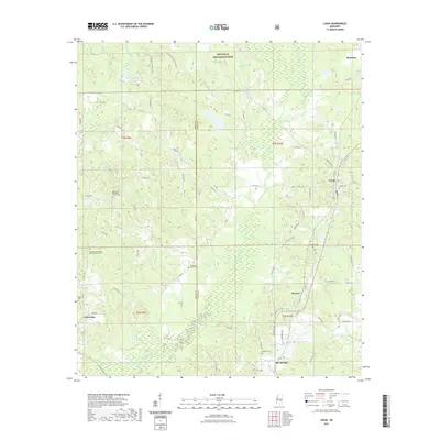
 1968 Louin1970 Print · USGSThe Jasper County interior comes into focus during the late sixties, showcasing the intersection of timberlands and rail-dependent settlements. Researchers can trace family roots through numerous sites like Triumph Ch, Bethany Cem, and the rail stop at Louin.2 unique versions available
 - 1970 Map of Montrose North, 1972 Print
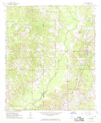
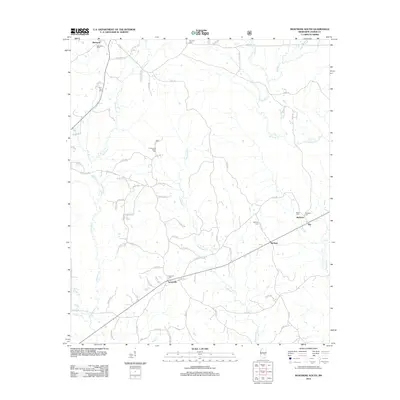
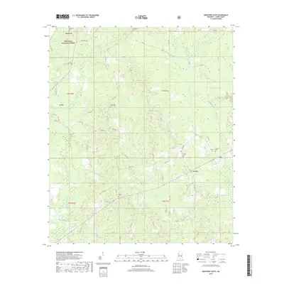
 1970 Montrose North1972 Print · USGSJasper and Newton counties in the early 1970s remained a region of timbered hills and quiet railroad junctions. Researchers can trace the Gulf Mobile and Ohio line past Garlandville or locate family sites at Sand Ridge Church and the Pilgrim Rest Ch Cemeteries.2 unique versions available
 - 1970 Map of Montrose South, 1972 Print
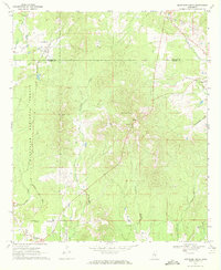
 1970 Montrose South1972 Print · USGSJasper County in the early seventies shows a rural landscape of timberland and creekside settlements just before modern development. Genealogists can trace family footprints through numerous sites like St Paul Cem, McNeal, and the Antioch Cem.
 - 1984 Map of Forest
 1984 Forest1984 Print · USGSCentral Mississippi in the mid-eighties centers on the timberlands and rail corridors of the Bienville National Forest. Genealogists and historians can trace old settlements like Conehatta and Hillsboro or follow the Illinois Central Gulf line through Morton and Newton.2 unique versions available
 - 2000 Map of Montrose North, 2002 Print
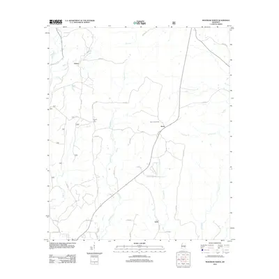
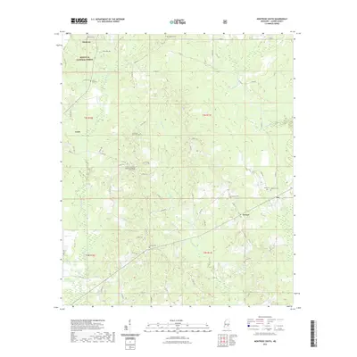
 2000 Montrose North2002 Print · USGSThe borderlands of Jasper and Newton counties are shown at the turn of the millennium as rural communities and forest lands intersect. Genealogists can trace family landmarks like Randall Hill Cem, Mt Nebo Ch, and the settlement of Garlandville.
 - 2012 Map of Montrose South, 2012 Print
 2012 Montrose South2012 Print · USGSCovers Montrose, including Louin, Turnerville, and other nearby areas
 - 2012 Map of Montrose North, 2012 Print
 2012 Montrose North2012 Print · USGSCovers Montrose, including Verba, Roberts, and other nearby areas
 - 2012 Map of Louin, 2012 Print
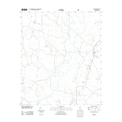 2012 Louin2012 Print · USGSCovers Montrose, including Bay Springs, Louin, and other nearby areas
 - 2015 Map of Montrose North, 2015 Print
 2015 Montrose North2015 Print · USGSCovers Montrose, including Verba, Roberts, and other nearby areas
 - 2015 Map of Louin, 2015 Print
 2015 Louin2015 Print · USGSCovers Montrose, including Bay Springs, Louin, and other nearby areas
 - 2015 Map of Montrose South, 2015 Print
 2015 Montrose South2015 Print · USGSCovers Montrose, including Louin, Turnerville, and other nearby areas
 - 2018 Map of Montrose North, 2018 Print
 2018 Montrose North2018 Print · USGSCovers Montrose, including Verba, Roberts, and other nearby areas
 - 2018 Map of Louin, 2018 Print
 2018 Louin2018 Print · USGSCovers Montrose, including Bay Springs, Louin, and other nearby areas
 - 2018 Map of Montrose South, 2018 Print
 2018 Montrose South2018 Print · USGSCovers Montrose, including Louin, Turnerville, and other nearby areas
 - 2021 Map of Montrose North, 2021 Print
 2021 Montrose North2021 Print · USGSCovers Montrose, including Verba, Roberts, and other nearby areas
 - 2021 Map of Louin, 2021 Print
 2021 Louin2021 Print · USGSCovers Montrose, including Bay Springs, Louin, and other nearby areas
 - 2021 Map of Montrose South, 2021 Print
 2021 Montrose South2021 Print · USGSCovers Montrose, including Louin, Turnerville, and other nearby areas
 - 2024 Map of Montrose South, 2024 Print
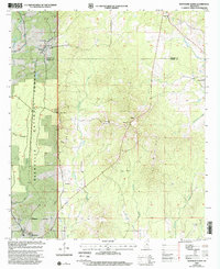
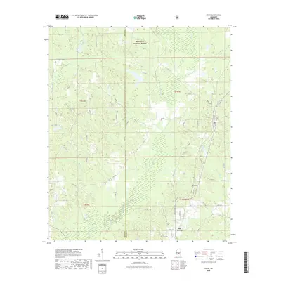
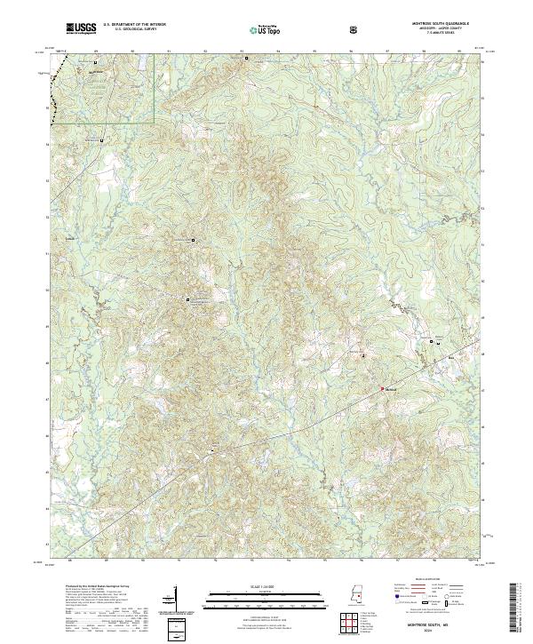 2024 Montrose South2024 Print · USGSThe northern reaches of the Jasper County timberlands are captured here in the early twenty-first century, showing the intersection of Bienville National Forest and rural settlements. Genealogists can locate several remote burial sites, including Antioch Cem, Read Cem, and Palestine Cem.
 - 2024 Map of Louin, 2024 Print
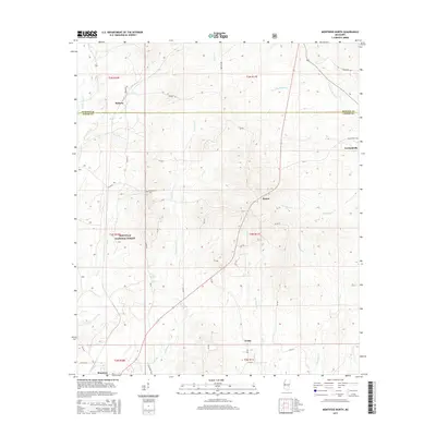
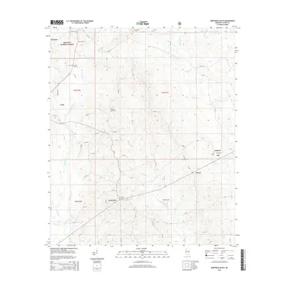
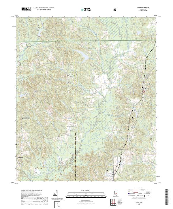 2024 Louin2024 Print · USGSJasper and Smith Counties are shown at the present day as a landscape defined by the Bienville National Forest and rural settlements. Researchers can trace local heritage through numerous burial sites and churches, including Louin Cem, Bethany Cem, and Hopewell Missionary Baptist Church.
 - 2024 Map of Montrose North, 2024 Print
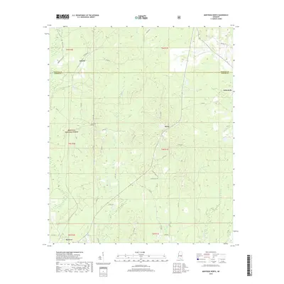
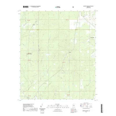
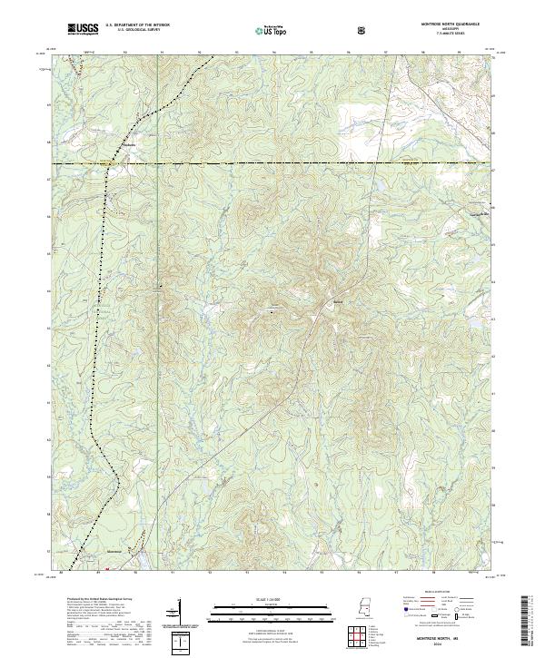 2024 Montrose North2024 Print · USGSThe Newton and Jasper county line bisects this Mississippi forest landscape at the start of the 2020s. Genealogists can locate family burial sites at Baxter Community Cem or Garlandville Cem, while following the paths of Tallahoma Creek and Souenlovie Creek.
End of results
Showing maps 1-23 of 23
Top cities near Montrose
- Forest historical maps
- Newton historical maps
- Bay Springs historical maps
- Heidelberg historical maps
- Hickory historical maps
- Louin historical maps
See more
Frequently asked questions
- What are the different types of historical maps available for Montrose?
- What is the oldest map of Montrose?
- Where can I purchase historical maps of Montrose for my home or office?
- Where can I download high-res historical maps of Montrose?
- Are there historical topographic maps available for Montrose?
- Is there historical aerial imagery available for Montrose?
- Where are historical maps of Montrose sourced from?