2000s (21st Century) Maps of Kemper County, Mississippi
Explore 115 historic maps of Kemper County from the 2000s (21st Century). These maps offer a rare glimpse into what life looked like during the 2000s — showing old roads, neighborhoods, homes, and landmarks that have changed or disappeared over time.
Whether you're researching your family's past, planning a metal detecting trip, or studying how Kemper County's landscape evolved across the 2000s, these high-resolution maps are a powerful tool for exploring the history of this region.
- Focus on a specific era: All maps on this page are from the 2000s, giving you a focused view of this time period.
- See what’s changed: Compare century-old streets, trails, and buildings to today's modern landscape using overlays and satellite layers.
- Research with precision: Use these maps for genealogy, historical research, land use analysis, or educational projects.
- View, download, or print: Maps are fully viewable online in high resolution, and can be downloaded or printed for your own records.
Start exploring Kemper County's history through authentic maps from the 2000s. This is your window into the past.
Kemper County, MS maps
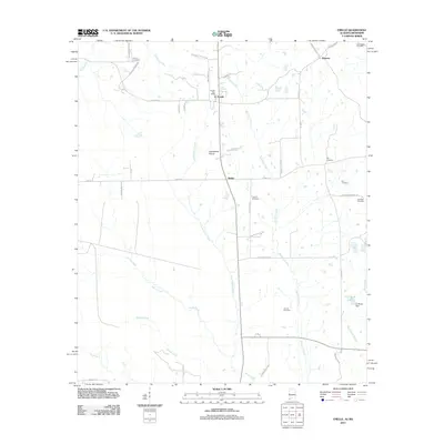
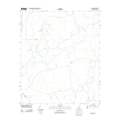
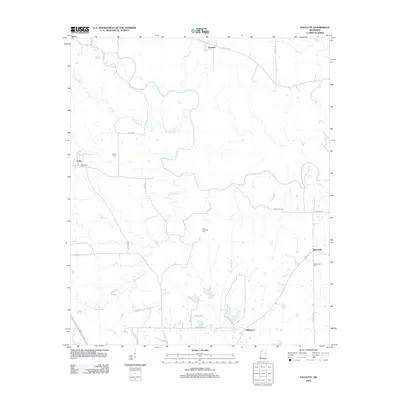
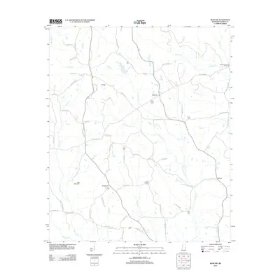
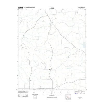
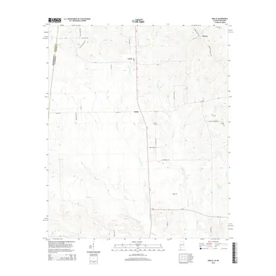
(115)- 2011 Map of Emelle, 2011 Print
 2011 Emelle2011 Print · USGSCovers Kemper County, including Emelle, Sledge, and other nearby areas
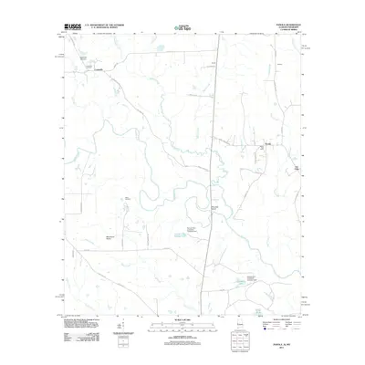
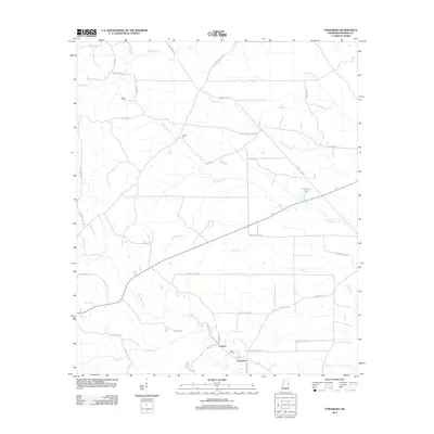
 - 2011 Map of Panola, 2011 Print
 2011 Panola2011 Print · USGSCovers Kemper County, including Cooksville, Fair Oaks, and other nearby areas
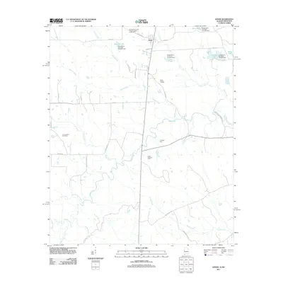
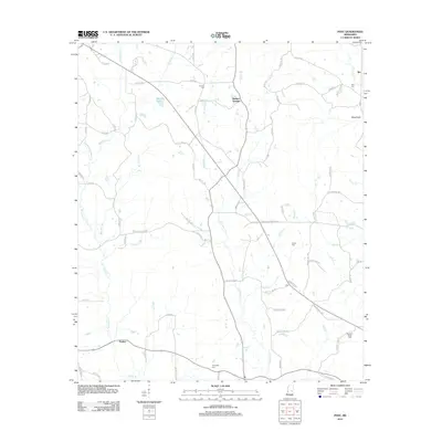
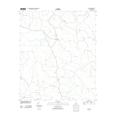
 - 2011 Map of Geiger, 2011 Print
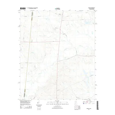
 2011 Geiger2011 Print · USGSCovers Kemper County, including Geiger, Sumter County, and other nearby areas
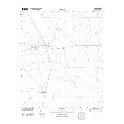
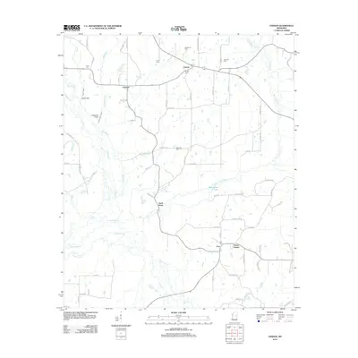
 - 2012 Map of Scooba, 2012 Print
 2012 Scooba2012 Print · USGSCovers Kemper County, including Scooba, Giles, and other nearby areas
 - 2012 Map of Tamola, 2012 Print
 2012 Tamola2012 Print · USGSCovers Kemper County, including Tamola, Lauderdale County, and other nearby areas
 - 2012 Map of Oak Grove, 2012 Print
 2012 Oak Grove2012 Print · USGSCovers Kemper County, including Oak Grove, Cullum, and other nearby areas
 - 2012 Map of Lauderdale NW, 2012 Print
 2012 Lauderdale NW2012 Print · USGSCovers Kemper County, including Kipling, Mount Nebo, and other nearby areas
 - 2012 Map of Preston, 2012 Print
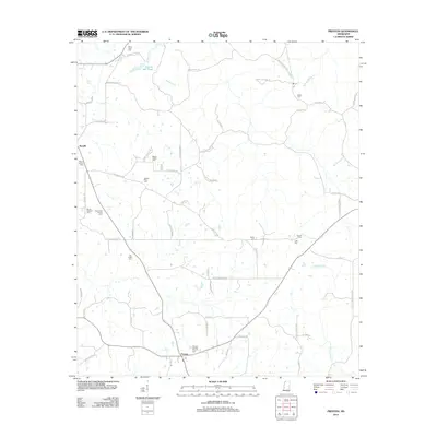 2012 Preston2012 Print · USGSCovers Kemper County, including Nanih Waiya, Preston, and other nearby areas
 - 2012 Map of Paulette, 2012 Print
 2012 Paulette2012 Print · USGSCovers Kemper County, including Paulette, Calyx, and other nearby areas
 - 2012 Map of Townsend, 2012 Print
 2012 Townsend2012 Print · USGSCovers Kemper County, including Carters, Townsend, and other nearby areas
 - 2012 Map of Post, 2012 Print
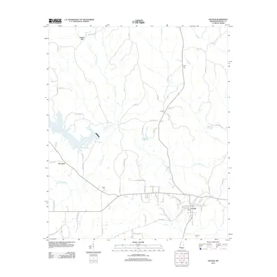
 2012 Post2012 Print · USGSCovers Kemper County, including Perdue, Herbert Springs, and other nearby areas
 - 2012 Map of Vernon, 2012 Print
 2012 Vernon2012 Print · USGSCovers Kemper County, including Nanih Waiya, Prince Chapel, and other nearby areas
 - 2012 Map of Moscow, 2012 Print
 2012 Moscow2012 Print · USGSCovers Kemper County, including Liberty, Damascus, and other nearby areas
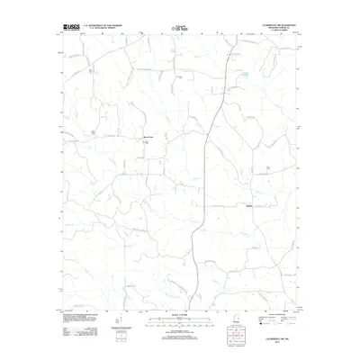
 - 2012 Map of Lauderdale, 2012 Print
 2012 Lauderdale2012 Print · USGSCovers Kemper County, including Kemper Springs, Lauderdale, and other nearby areas
 - 2012 Map of Gholson, 2012 Print
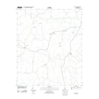 2012 Gholson2012 Print · USGSCovers Kemper County, including Fairhill, Gholson, and other nearby areas
 - 2012 Map of Shuqualak, 2012 Print
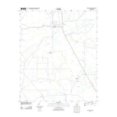 2012 Shuqualak2012 Print · USGSCovers Kemper County, including Shuqualak, Wahalak, and other nearby areas
 - 2012 Map of Lynville, 2012 Print
 2012 Lynville2012 Print · USGSCovers Kemper County, including Lynville, Bluff Springs, and other nearby areas
 - 2012 Map of Daleville, 2012 Print
 2012 Daleville2012 Print · USGSCovers Kemper County, including Obadiah, Blackwater, and other nearby areas
 - 2012 Map of House, 2012 Print
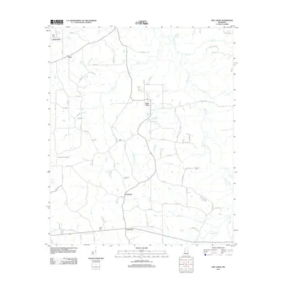
 2012 House2012 Print · USGSCovers Kemper County, including House, DeWeese, and other nearby areas
 - 2012 Map of De Kalb, 2012 Print
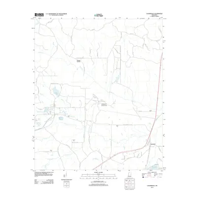
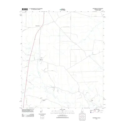
 2012 De Kalb2012 Print · USGSCovers Kemper County, including De Kalb, Sciples Mill, and other nearby areas
 - 2012 Map of Porterville, 2012 Print
 2012 Porterville2012 Print · USGSCovers Kemper County, including Narkeeta, Porterville, and other nearby areas
 - 2012 Map of Center Hill, 2012 Print
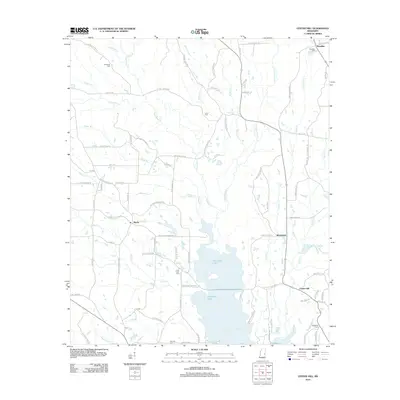 2012 Center Hill2012 Print · USGSCovers Kemper County, including Shucktown, Klondike, and other nearby areas
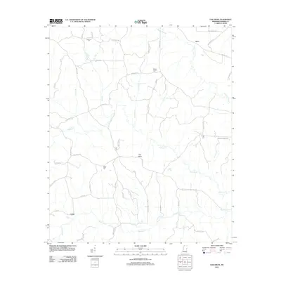
 - 2012 Map of Owl Creek, 2012 Print
 2012 Owl Creek2012 Print · USGSCovers Kemper County, including Bogue Chitto, Bond, and other nearby areas
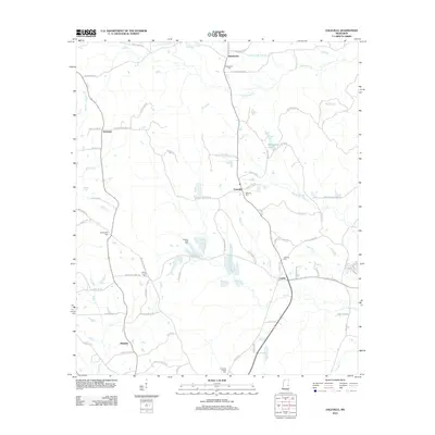
 - 2014 Map of Geiger, 2014 Print
 2014 Geiger2014 Print · USGSCovers Kemper County, including Geiger, Sumter County, and other nearby areas
 - 2014 Map of Emelle, 2014 Print
 2014 Emelle2014 Print · USGSCovers Kemper County, including Emelle, Sledge, and other nearby areas
Showing maps 1-25 of 115
Top cities of Kemper County
Frequently asked questions
- What are the different types of historical maps available for Kemper County?
- What is the oldest map of Kemper County?
- Where can I purchase historical maps of Kemper County for my home or office?
- Where can I download high-res historical maps of Kemper County?
- Are there historical topographic maps available for Kemper County?
- Is there historical aerial imagery available for Kemper County?
- Where are historical maps of Kemper County sourced from?