2010s Maps of Kemper County, Mississippi
Explore 69 historic maps of Kemper County from the 2010s. These maps offer a rare glimpse into what life looked like during the 2010s — showing old roads, neighborhoods, homes, and landmarks that have changed or disappeared over time.
Whether you're researching your family's past, planning a metal detecting trip, or studying how Kemper County's landscape evolved across the 2010s, these high-resolution maps are a powerful tool for exploring the history of this region.
- Focus on a specific era: All maps on this page are from the 2010s, giving you a focused view of this time period.
- See what’s changed: Compare century-old streets, trails, and buildings to today's modern landscape using overlays and satellite layers.
- Research with precision: Use these maps for genealogy, historical research, land use analysis, or educational projects.
- View, download, or print: Maps are fully viewable online in high resolution, and can be downloaded or printed for your own records.
Start exploring Kemper County's history through authentic maps from the 2010s. This is your window into the past.
Kemper County, MS maps
(69)- 2011 Map of Emelle, 2011 Print
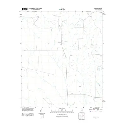 2011 Emelle2011 Print · USGSSumter County at the start of the 2010s reveals a quiet landscape of prairie openings and family-named landmarks. Researchers can trace ancestral roots at Boney Cemetery or Bell Cemetery and locate the historic Emelle Post Office near Grindstone Prairie.
 - 2011 Map of Panola, 2011 Print
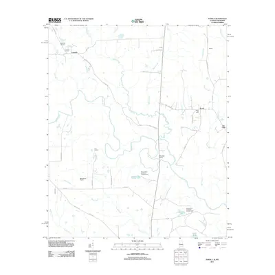 2011 Panola2011 Print · USGSThe Noxubee River borderlands are shown in detail here during the early twenty-first century. Researchers can locate the Panola Post Office, trace the legacy of Wild Horse Prairie, and find family sites at Watts Cemetery.
 - 2011 Map of Geiger, 2011 Print
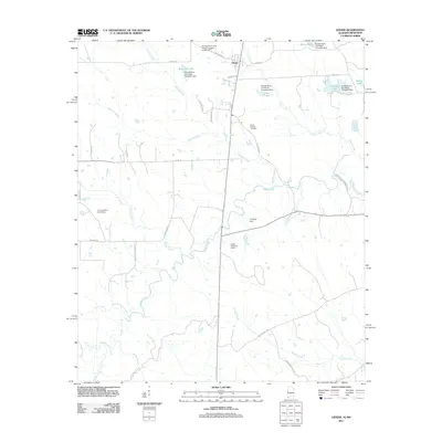 2011 Geiger2011 Print · USGSThe town of Geiger and the surrounding Sumter County countryside are documented here during the early twenty-first century. Genealogists and local historians can trace family-named landmarks like Williams Lake, Souls Chapel Cemetery, and the C E Boyd Dam.
 - 2012 Map of Scooba, 2012 Print
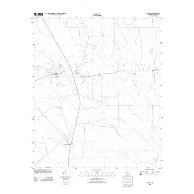 2012 Scooba2012 Print · USGSKemper County at the start of the 2010s reveals a quiet landscape of rural communities and historic creek drainages. Genealogists can trace family landmarks and burial sites including Old Scooba Cem, the settlement of Electric Mills, and Giles Cem.
 - 2012 Map of Tamola, 2012 Print
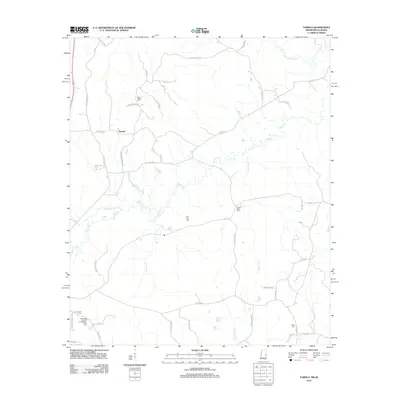 2012 Tamola2012 Print · USGSThe borderlands of Mississippi and Alabama are documented here in 2012, highlighting the rural community of Tamola and its network of family farms. Genealogists can trace local history through sites like Lauderdale Springs Confederate Union Cem and Grigsbys Springs.
 - 2012 Map of Oak Grove, 2012 Print
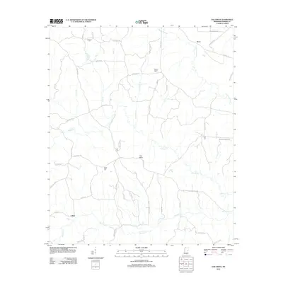 2012 Oak Grove2012 Print · USGSEastern Kemper County in the early twenty-first century reveals a landscape defined by timber tracts and quiet crossroads. Researchers can trace rural lineages through numerous family-named landmarks and local burial sites like Macedonia Cem and Chapel Hill Cem near Oak Grove.
 - 2012 Map of Lauderdale NW, 2012 Print
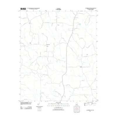 2012 Lauderdale NW2012 Print · USGSThe rural communities of Kemper and Lauderdale counties come into focus at the start of the 2010s. Researchers can trace family-named landmarks and rural burial grounds like New Hope Cem, Rush Cem, and the roads surrounding Mount Nebo.
 - 2012 Map of Preston, 2012 Print
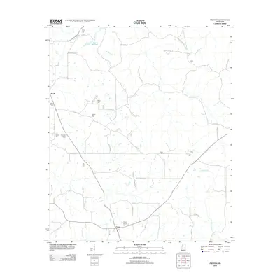 2012 Preston2012 Print · USGSEastern Mississippi's rural character is preserved here in the early twenty-first century, showing the enduring network of family homesteads and churchyards. Researchers can trace ancestral locations through sites like Pleasant Springs Church Cem and the Rosamond Family Cem.
 - 2012 Map of Paulette, 2012 Print
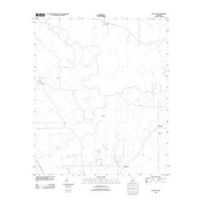 2012 Paulette2012 Print · USGSNoxubee County is seen here in the early twenty-first century, showing a landscape defined by the winding Noxubee River and its tributaries. Genealogists can locate several local burial grounds, including the Old Wahalak Cem, Eaves Cem, and Binnsville Cem.
 - 2012 Map of Townsend, 2012 Print
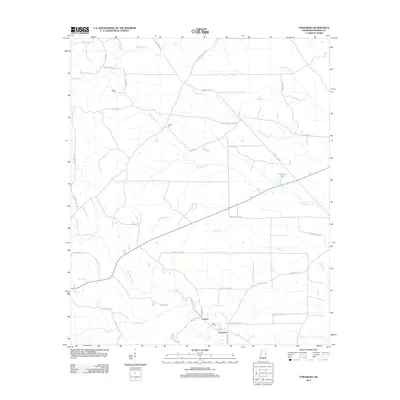 2012 Townsend2012 Print · USGSEastern Mississippi's rural landscape is detailed here in the early twenty-first century, centered on the Sucarnoochee River basin. Researchers can trace family ties at Antioch Cem or Felton Cem and locate historic points like Townsend and Carters.
 - 2012 Map of Post, 2012 Print
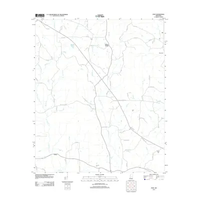 2012 Post2012 Print · USGSThis rural Mississippi landscape in the early 2010s reveals a network of family-named roads and small settlements centered around the waters of Tallahatta Cr. Genealogists can locate several historic burial sites, including Antioch Cem and Trussel Cem, alongside the communities of Perdue and Post.
 - 2012 Map of Vernon, 2012 Print
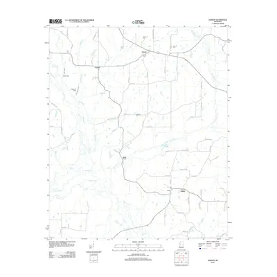 2012 Vernon2012 Print · USGSNanih Waiya and its surrounding Mississippi wetlands are captured here in the early twenty-first century. Researchers can trace ancestral connections through several local landmarks like Prince Chapel, Vernon Cemetery, and the settlement at Claytown.
 - 2012 Map of Moscow, 2012 Print
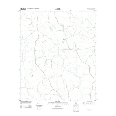 2012 Moscow2012 Print · USGSKemper County in the early twenty-first century remains a landscape of family-run lands and quiet rural junctions. Genealogists and local historians can trace family ties through numerous sites like McDonald Cem, Talbert Cem, and the settlement of Damascus.
 - 2012 Map of Lauderdale, 2012 Print
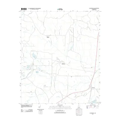 2012 Lauderdale2012 Print · USGSEastern Mississippi's rural character meets military utility in this decade-old survey of the area near Kemper Springs. Genealogists and local historians can locate several family burial grounds, such as Clayton Cem and Moore Cem, alongside the extensive Meridian Naval Air Station.
 - 2012 Map of Gholson, 2012 Print
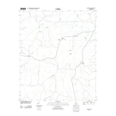 2012 Gholson2012 Print · USGSNoxubee County at the turn of the decade is a landscape of high ridges and quiet rural settlements linked by historic family roads. Genealogists can trace local heritage across numerous burial sites like Pine Turkey Cem, Van Devender Cem, and the high ground of Potters Ridge.
 - 2012 Map of Shuqualak, 2012 Print
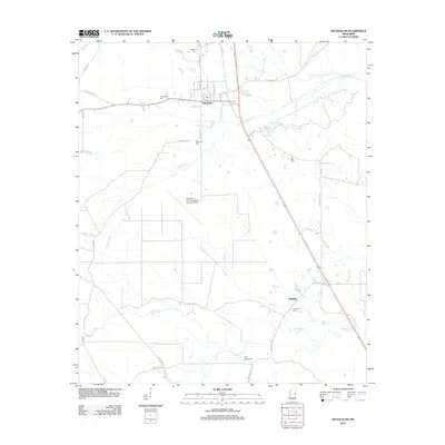 2012 Shuqualak2012 Print · USGSNoxubee County at the start of the 2010s shows a landscape of small settlements and military aviation infrastructure. Genealogists can locate several burial sites including Slaughter Cem and Twin Cemeteries, while tracing the area around Wahalak and the Columbus Air Force Base Auxiliary Field.
 - 2012 Map of Lynville, 2012 Print
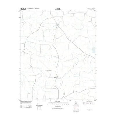 2012 Lynville2012 Print · USGSKemper County's rural landscape is shown here in the early twenty-first century, centered on small settlements and military infrastructure. Researchers can locate family burial sites at Smyrna Cem and Shepherd Cem or trace the area around the Joe Williams Naval Outlying Field.
 - 2012 Map of Daleville, 2012 Print
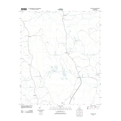 2012 Daleville2012 Print · USGSLauderdale County's rural landscape is shown here in the early twenty-first century, featuring a dense network of country roads and creek-side settlements. Genealogists can locate several family and community landmarks, such as Samuel Dale Cem, Andrews Chapel Cem, and the crossroads at Obadiah.
 - 2012 Map of House, 2012 Print
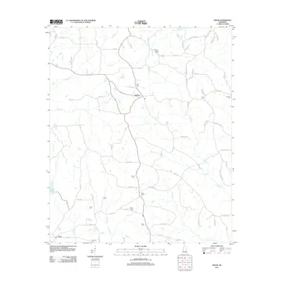 2012 House2012 Print · USGSNeshoba County at the start of the 2010s reveals a quiet landscape of rural settlements and family burial grounds. Genealogists can trace deep local roots at Hesters Chapel Cemetery, House Cemetery, and along the banks of Okatibbee Creek.
 - 2012 Map of De Kalb, 2012 Print
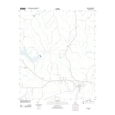 2012 De Kalb2012 Print · USGSDe Kalb and the surrounding Kemper County countryside are documented here in the early twenty-first century. Researchers can trace family history through local landmarks like Sciples Mill and several historic burial grounds including Jerusalem Cem and McRae Cem.
 - 2012 Map of Porterville, 2012 Print
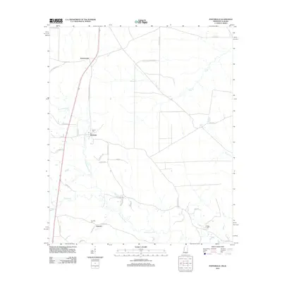 2012 Porterville2012 Print · USGSThe rural landscape of Kemper County comes into focus in this recent survey of the Mississippi-Alabama borderlands. Researchers can locate family landmarks such as Robbins Cem and Briggs Chapel Cem or trace the winding path of the Sucarnoochee River.
 - 2012 Map of Center Hill, 2012 Print
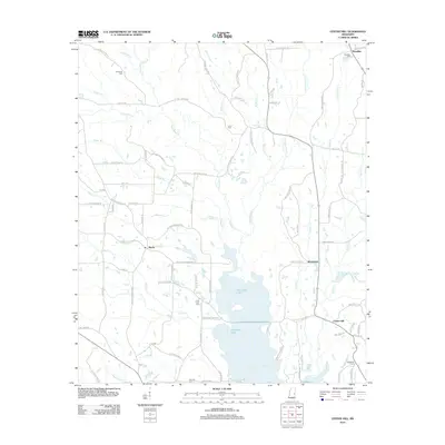 2012 Center Hill2012 Print · USGSLauderdale County's rural communities and water systems are documented in detail during the early 2010s. Genealogists and local historians can trace family roots through numerous sites like Klondike Cem, Shucktown, and Pine Forest Cem.
 - 2012 Map of Owl Creek, 2012 Print
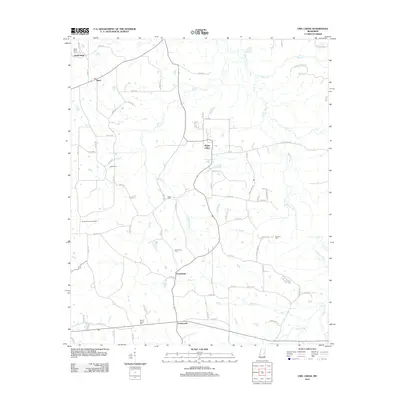 2012 Owl Creek2012 Print · USGSNeshoba County's rural landscape is captured here in the early twenty-first century, showcasing a community knit together by creek branches and country roads. Genealogists can trace family names at Roundtree Cem, Hensons Cem, and the Sandtown Lookout Tower.
 - 2014 Map of Geiger, 2014 Print
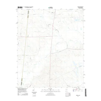 2014 Geiger2014 Print · USGSSumter County, Alabama, is documented here in the early twenty-first century as a rural landscape of small lakes and creek bottomlands. Researchers can trace local landmarks like Souls Chapel Cem and family-named features including Williams Lake and C E Boyd Pond.
 - 2014 Map of Emelle, 2014 Print
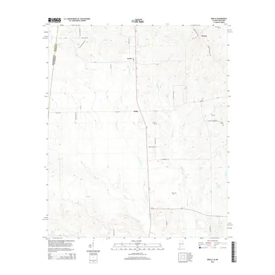 2014 Emelle2014 Print · USGSSumter County near the Mississippi border is recorded here in the early twenty-first century, showing a rural landscape of scattered family settlements and creek drainages. Genealogists can locate several historic burial sites, including Hutchenson Cem and Danner Cem, alongside the crossroads at Emelle.
Showing maps 1-25 of 69
Top cities of Kemper County
Frequently asked questions
- What are the different types of historical maps available for Kemper County?
- What is the oldest map of Kemper County?
- Where can I purchase historical maps of Kemper County for my home or office?
- Where can I download high-res historical maps of Kemper County?
- Are there historical topographic maps available for Kemper County?
- Is there historical aerial imagery available for Kemper County?
- Where are historical maps of Kemper County sourced from?