2020s Maps of Washington County, Mississippi
Explore 47 historic maps of Washington County from the 2020s. These maps offer a rare glimpse into what life looked like during the 2020s — showing old roads, neighborhoods, homes, and landmarks that have changed or disappeared over time.
Whether you're researching your family's past, planning a metal detecting trip, or studying how Washington County's landscape evolved across the 2020s, these high-resolution maps are a powerful tool for exploring the history of this region.
- Focus on a specific era: All maps on this page are from the 2020s, giving you a focused view of this time period.
- See what’s changed: Compare century-old streets, trails, and buildings to today's modern landscape using overlays and satellite layers.
- Research with precision: Use these maps for genealogy, historical research, land use analysis, or educational projects.
- View, download, or print: Maps are fully viewable online in high resolution, and can be downloaded or printed for your own records.
Start exploring Washington County's history through authentic maps from the 2020s. This is your window into the past.
Washington County, MS maps
(47)- 2020 Map of Red Leaf, 2020 Print
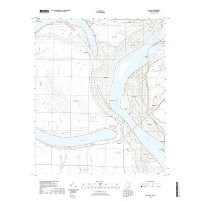 2020 Red Leaf2020 Print · USGSThe riverbanks of the Mississippi and Arkansas borderlands come alive in this recent survey. Researchers can trace family ties at Old Refuge Cem or explore the delta settlements of Red Leaf, Sunnyside, and Vaucluse along the levee.
 - 2020 Map of Eminence, 2020 Print
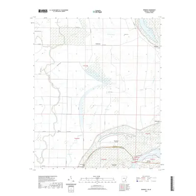 2020 Eminence2020 Print · USGSThe Arkansas-Mississippi borderlands come alive in this modern survey of the delta's bayous and river bends. Researchers can trace land patterns near Eminence or locate historic sites like Lakeport Cem and the landings at Matthews Bend and Harwood.
 - 2020 Map of Luna, 2020 Print
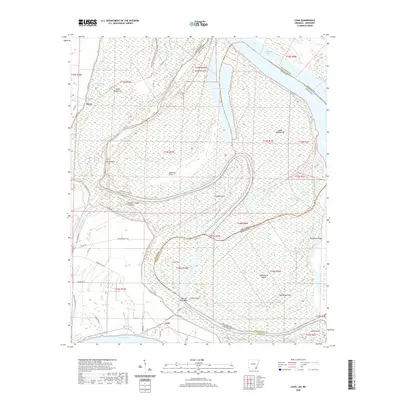 2020 Luna2020 Print · USGSThe river-lands along the Arkansas-Mississippi border come alive in this recent survey of the Chicot County region. Genealogists and local historians can trace the vicinity of Luna and Dewey, or explore the alluvial terrain of Backbone Ridge and Spanish Moss Bend.
 - 2020 Map of Readland, 2020 Print
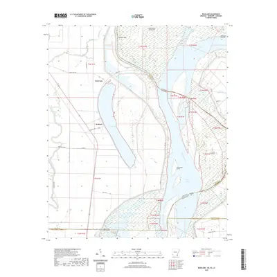 2020 Readland2020 Print · USGSThe Arkansas-Mississippi-Louisiana border region comes into sharp focus during this modern survey of the river's alluvial plain. Researchers can trace the shifting river channel through Matthews Bend, the settlement at Readland, and remote backwaters like Gassoway Lake.
 - 2020 Map of Arkansas City, 2020 Print
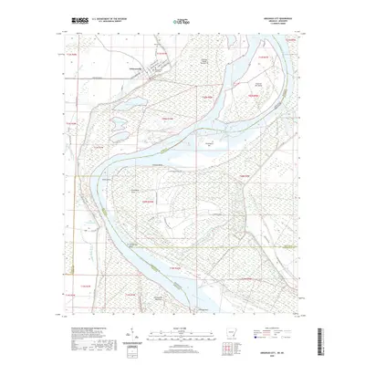 2020 Arkansas City2020 Print · USGSThe Arkansas Delta comes alive in this survey of the riverfront at Arkansas City, where the Mississippi River carves a complex boundary with Mississippi. Researchers can trace local landmarks like the Desha County Courthouse, the Mound Cem, and river features such as Huntington Bar.
 - 2020 Map of Glen Allan, 2020 Print
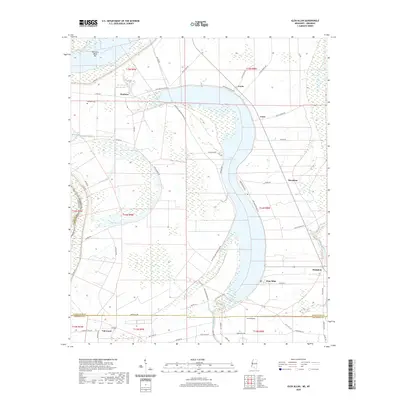 2020 Glen Allan2020 Print · USGSThe Mississippi Delta's oxbow country is preserved here in the late twenty-teens, showing the agricultural heart of Washington County. Researchers can trace family sites and local landmarks near Chatham, Glen Allan, and the shores of Lake Washington.
 - 2020 Map of Scott, 2020 Print
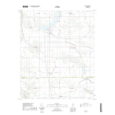 2020 Scott2020 Print · USGSThe Mississippi Delta landscape between Bolivar and Washington counties is shown here as it appeared in the early twenty-first century. Genealogists and local historians can trace small settlements and rural landmarks like Lamont, Winterville, and Ward Chapel Cem.
 - 2020 Map of Avon, 2020 Print
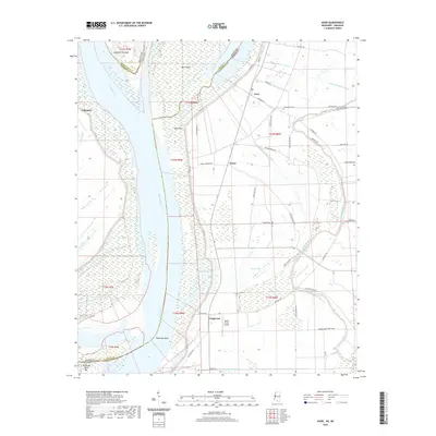 2020 Avon2020 Print · USGSThe Mississippi Delta riverfront in the early twenty-first century shows a landscape defined by massive levees and a complex network of drainage ditches. Local historians can trace family locations near Avon, find the Graymound Cem, and explore the river's path by Eggs Point and Longwood.
 - 2020 Map of Greenville, 2020 Print
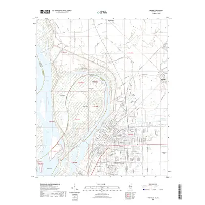 2020 Greenville2020 Print · USGSGreenville and the Mississippi River delta are captured here in the contemporary era, showing a landscape defined by massive levees and river engineering. Genealogists can locate legacy sites like the Chinese Cem, Jewish Cem, and the Washington County Courthouse.
 - 2020 Map of Wayside, 2020 Print
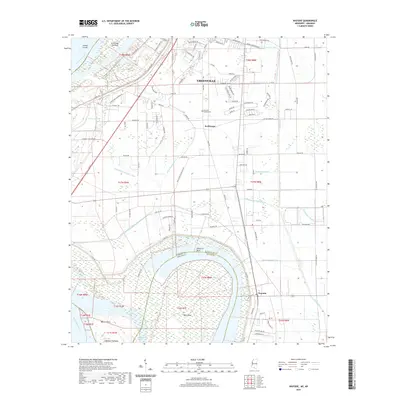 2020 Wayside2020 Print · USGSThe Mississippi Delta's shifting riverbanks and drainage networks are meticulously detailed in this recent survey. Researchers can trace the state line through American Bend and locate sites like Lakeview Gardens Cem and the Walnut Point settlement.
 - 2020 Map of Leland, 2020 Print
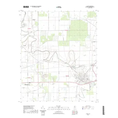 2020 Leland2020 Print · USGSWashington County at the start of the 2020s shows a landscape deeply shaped by the waters of Deer Creek and the agricultural research at Stoneville. Researchers can trace local heritage through numerous burial grounds like Lamont Cem and Shamrock Cem or locate the former rail-side settlements of Magenta and Elizabeth.
 - 2020 Map of Delta City, 2020 Print
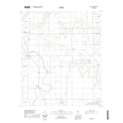 2020 Delta City2020 Print · USGSThe Mississippi Delta in the modern era continues to be a landscape of tight-knit agricultural settlements and ancient waterways. Genealogists can trace family landmarks across the Sharkey and Washington County line, including Delta City Cem, Panther Burn, and Nitta Yuma.
 - 2020 Map of Percy, 2020 Print
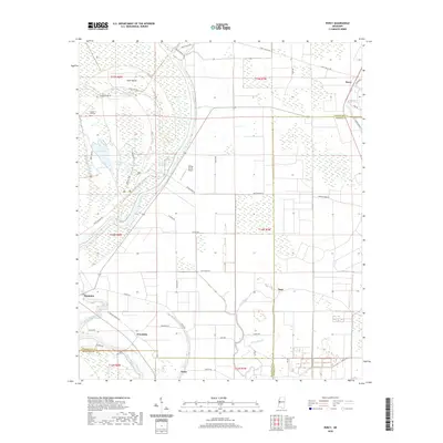 2020 Percy2020 Print · USGSThe Mississippi Delta wetlands and rural crossroads are captured in the year 2020. Local researchers can trace family landmarks near Canaan Hill Cem and the small settlements of Percy, Grace, and Hampton along the Steele Bayou.
 - 2020 Map of Midnight NW, 2020 Print
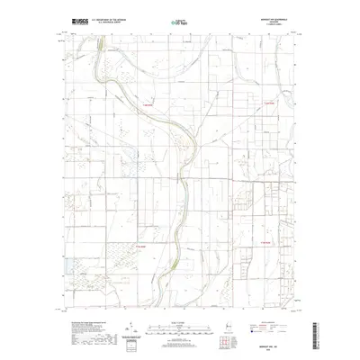 2020 Midnight NW2020 Print · USGSThe Mississippi Delta's intricate river systems and rural road networks are revealed in this recent survey. Genealogists and local historians can trace family land along the Big Sunflower River and navigate the reaches of Bogue Phalia or Beasley Bayou.
 - 2020 Map of Holly Ridge, 2020 Print
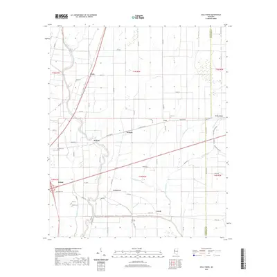 2020 Holly Ridge2020 Print · USGSSunflower and Washington counties appear in this detailed look at the Mississippi Delta's agricultural heartland just before the 2020s. Genealogists and researchers can trace local family landmarks and rural communities like Dunleith, Hollyknowe, and Evening Star Cem.
 - 2020 Map of Stringtown, 2020 Print
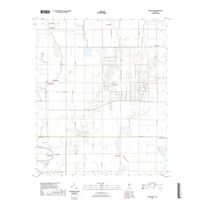 2020 Stringtown2020 Print · USGSWashington and Bolivar Counties appear here as they were in recent years, showing the traditional Delta landscape of bayous and agricultural crossings. Researchers can trace local history through sites like Mount Cozy Cem and the small settlements of Grapeland and Meltonia.
 - 2020 Map of Shaw, 2020 Print
 2020 Shaw2020 Print · USGSThe Delta town of Shaw and its surrounding agricultural settlements are depicted here as they appeared in 2020. Local researchers can trace family landmarks and cemeteries such as Mexican Cem, Strangers Rest Cem, and the rural community of Busey.
 - 2020 Map of Kinlock, 2020 Print
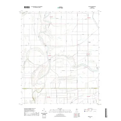 2020 Kinlock2020 Print · USGSThe Mississippi Delta's intricate river-and-bayou landscape is captured here in the contemporary era at the meeting of three counties. Researchers can trace land tracts near Kinlock, locate burial sites at Hickory Bluff Cemetery, and identify the Prentiss Mound earthwork.
 - 2020 Map of Hollandale, 2020 Print
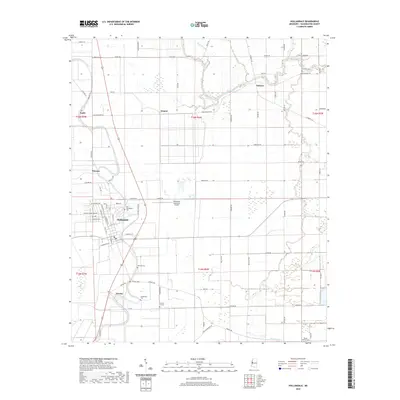 2020 Hollandale2020 Print · USGSThe Mississippi Delta's flat agricultural landscape and dispersed rural settlements are documented here in the early twenty-first century. Genealogists can trace family locations through numerous rural burial sites like Bellamy Cem and Huddleston Cem near Hollandale.
 - 2020 Map of Swan Lake NW, 2020 Print
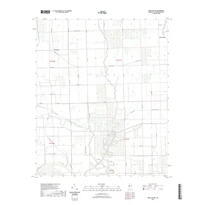 2020 Swan Lake NW2020 Print · USGSThe Mississippi Delta's agricultural and hydrologic patterns are on full display in this contemporary survey of Washington County. Genealogists and local historians can trace family locations near Muskedine, McCutcheon, and the Macedonia Cem.
 - 2020 Map of Arcola, 2020 Print
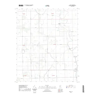 2020 Arcola2020 Print · USGSThe Mississippi Delta town of Arcola is shown at the turn of the decade, surrounded by a complex network of agricultural roads and bayous. Trace family roots at Morning Star Cem or Paxton Cem, and explore the geography of Deer Creek and Huddleston Lake.
 - 2020 Map of Richey, 2020 Print
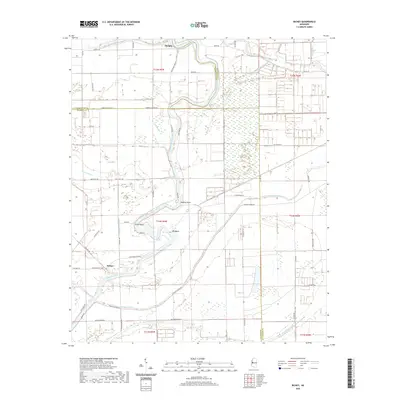 2020 Richey2020 Print · USGSThe Mississippi Delta's river-driven landscape is captured here in 2020, where the Big Sunflower River snakes through the tri-county border. Genealogists and local historians can trace the rural settlements of Murphy and Richey alongside numerous named waterways like Murphy Bayou and Straight Bayou.
 - 2020 Map of Tribbett, 2020 Print
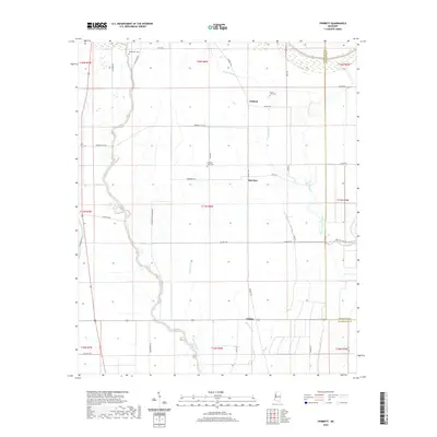 2020 Tribbett2020 Print · USGSThe fertile Mississippi Delta near Bourbon and Tribbett is captured here in a period of modern agricultural continuity. Genealogists can locate family sites at Bethlehem Cem and Mount Zion Cem or trace the winding course of the Bogue Phalia.
 - 2024 Map of Luna, 2024 Print
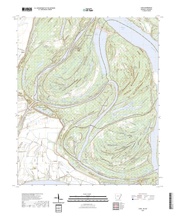 2024 Luna2024 Print · USGSThe Arkansas-Mississippi border comes alive in this study of the shifting river geography south of Arkansas City. Genealogists and local historians can trace family-named points and landings like Carter Point, Luna, and the curious Panther Forest Crevasse.
 - 2024 Map of Delta City, 2024 Print
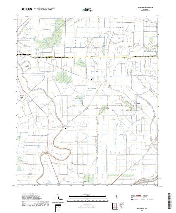 2024 Delta City2024 Print · USGSThe Yazoo-Mississippi Delta is captured in recent detail, showing a landscape defined by its bayous and historic agricultural communities. Researchers can trace the layout of Nitta Yuma and Panther Burn, or locate sites like Mount Zion Cem and Vickland Cem.
Showing maps 1-25 of 47
Top cities of Washington County
- Greenville historical maps
- Leland historical maps
- Hollandale historical maps
- Metcalfe historical maps
- Arcola historical maps
Frequently asked questions
- What are the different types of historical maps available for Washington County?
- What is the oldest map of Washington County?
- Where can I purchase historical maps of Washington County for my home or office?
- Where can I download high-res historical maps of Washington County?
- Are there historical topographic maps available for Washington County?
- Is there historical aerial imagery available for Washington County?
- Where are historical maps of Washington County sourced from?