2000s (21st Century) Maps of Washington County, Mississippi
Explore 120 historic maps of Washington County from the 2000s (21st Century). These maps offer a rare glimpse into what life looked like during the 2000s — showing old roads, neighborhoods, homes, and landmarks that have changed or disappeared over time.
Whether you're researching your family's past, planning a metal detecting trip, or studying how Washington County's landscape evolved across the 2000s, these high-resolution maps are a powerful tool for exploring the history of this region.
- Focus on a specific era: All maps on this page are from the 2000s, giving you a focused view of this time period.
- See what’s changed: Compare century-old streets, trails, and buildings to today's modern landscape using overlays and satellite layers.
- Research with precision: Use these maps for genealogy, historical research, land use analysis, or educational projects.
- View, download, or print: Maps are fully viewable online in high resolution, and can be downloaded or printed for your own records.
Start exploring Washington County's history through authentic maps from the 2000s. This is your window into the past.
Washington County, MS maps
(120)- 2011 Map of Luna, 2011 Print
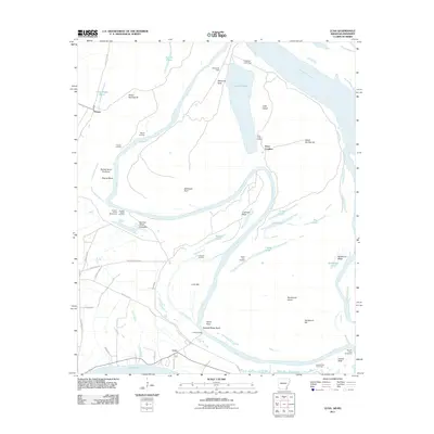 2011 Luna2011 Print · USGSThe riverfront reaches of Chicot County are captured here in the early twenty-first century, showing a landscape defined by oxbows and historic landings. Genealogists and local historians can locate early river hubs like Gaines Landing and Luna Landing or trace the curves of Spanish Moss Bend.
 - 2011 Map of Eminence, 2011 Print
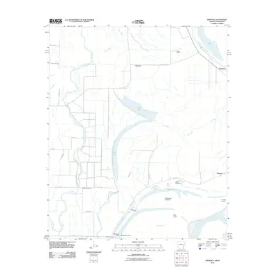 2011 Eminence2011 Print · USGSThe Mississippi River bottomlands of southeast Arkansas are captured here in the early twenty-first century, showcasing a landscape of complex bayous and river engineering. Genealogists can locate Lakeport Cemetery and North Star Cemetery, or trace river landmarks like Worthington Towhead.
 - 2011 Map of Greenville, 2011 Print
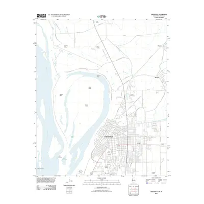 2011 Greenville2011 Print · USGSGreenville and the Mississippi Delta are shown here during the early twenty-first century, as the river continues to shape the local landscape. Genealogists can trace family history through several distinct sites including the Chinese Cemetery and Old Mount Tabor Cemetery.
 - 2011 Map of Readland, 2011 Print
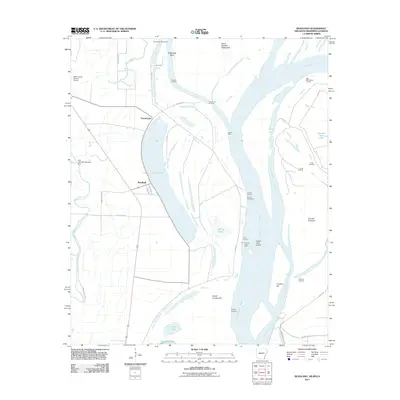 2011 Readland2011 Print · USGSThe riverfront of Chicot County is captured here in the early twenty-first century, showing the complex interaction between the Mississippi River and its floodplain. Researchers can trace the legacy of river commerce and navigation at Carriola Landing, Readland, and Coal Landing.
 - 2011 Map of Avon, 2011 Print
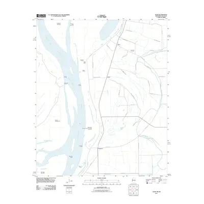 2011 Avon2011 Print · USGSThe Mississippi Delta riverfront and its agricultural hinterlands are captured here in the early 2000s. Genealogists and historians can locate family landmarks like Graymound Cemetery or trace the river landings at Seven Oaks Landing and Eggs Point.
 - 2011 Map of Wayside, 2011 Print
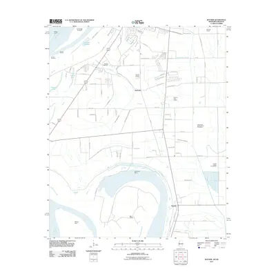 2011 Wayside2011 Print · USGSThe Mississippi Delta south of Greenville comes into focus here during the early twenty-first century. Researchers can trace the local water management and aviation history through features like American Bend, Fairfield Airport, and the Lakeview Gardens Cemetery.
 - 2011 Map of Arkansas City, 2011 Print
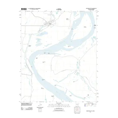 2011 Arkansas City2011 Print · USGSThe riverfront at Arkansas City and the surrounding delta bottomlands appear here in the early twenty-first century. Researchers can trace the engineering of the Mississippi River Levee and locate rural landmarks like Mound Cemetery and Buddy Bridges Camp.
 - 2011 Map of Glen Allan, 2011 Print
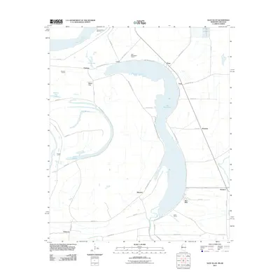 2011 Glen Allan2011 Print · USGSThe Mississippi Delta's oxbow country is captured in the early 2010s, showing a landscape defined by the river's historic shifts. Genealogists and historians can locate family landmarks like Metcalfe Cemetery and trace old river landings such as Princeton Landing near Chatham.
 - 2011 Map of Red Leaf, 2011 Print
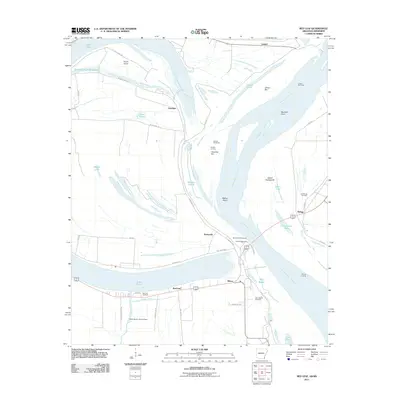 2011 Red Leaf2011 Print · USGSThe riverfront and oxbow lakes near Greenville come into focus during this early 21st-century survey of the Mississippi Delta. Researchers can trace land use around Lake Chicot, locate family sites at Red Leaf Cemetery, or explore river features like Walker Bend.
 - 2012 Map of Glen Allan, 2012 Print
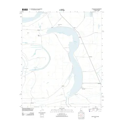 2012 Glen Allan2012 Print · USGSThe Mississippi Delta landscape of Washington County comes into focus here just after the turn of the millennium. Researchers can trace rural settlement patterns near Glen Allan and locate historic landmarks like Metcalfe Cem and Princeton Landing.
 - 2012 Map of Holly Ridge, 2012 Print
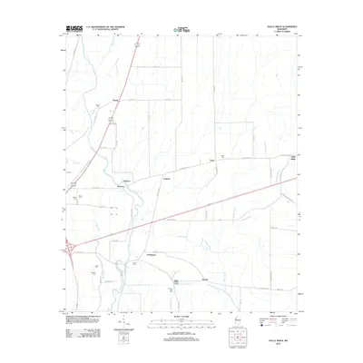 2012 Holly Ridge2012 Print · USGSThe Sunflower County Delta is captured here in the early 21st century, defined by its intricate bayous and rural settlements. Genealogists can locate several family and community burial sites, including Evening Star Cem, Union Cem, and Charity Cem.
 - 2012 Map of Kinlock, 2012 Print
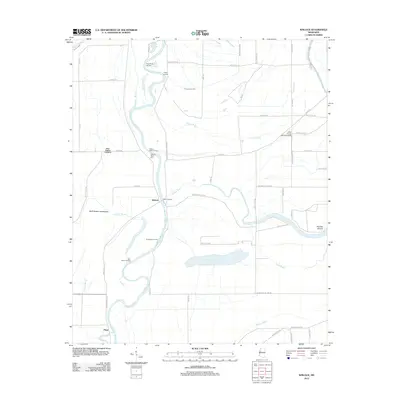 2012 Kinlock2012 Print · USGSThe Mississippi Delta riverfront comes alive in this modern survey, showing a landscape defined by the Big Sunflower River and its many landings. Genealogists and historians can trace the sites of Kinlock, Floyd, and the Hickory Bluff Cem.
 - 2012 Map of Stringtown, 2012 Print
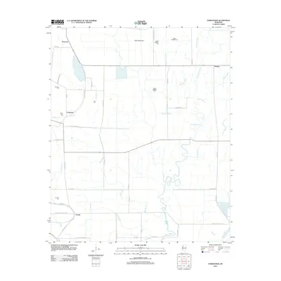 2012 Stringtown2012 Print · USGSThe Mississippi Delta's agricultural landscape comes into focus here in the early twenty-first century. Family historians can locate specific burial sites like Dickerson Cem and Mount Cozy Cem or trace the waterways of Pistol Slough and Bee Bayou.
 - 2012 Map of Tribbett, 2012 Print
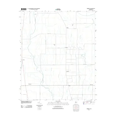 2012 Tribbett2012 Print · USGSThe Washington County Delta landscape is captured here in the early twenty-first century, showing a network of rural settlements and bayous. Genealogists can locate family landmarks such as Bethlehem Cem and trace the small communities of Tribbett and Bourbon.
 - 2012 Map of Shaw, 2012 Print
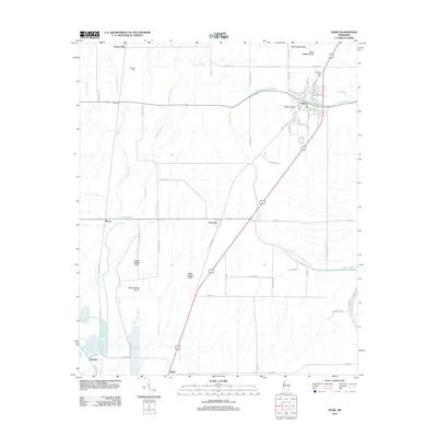 2012 Shaw2012 Print · USGSBolivar County’s agricultural heartland is documented here in the early twenty-first century, centered on the town of Shaw. Researchers can locate family landmarks like Strangers Rest Cem and Mexican Cem, or trace the rural settlements of Turners Flat and Choctaw.
 - 2012 Map of Leland, 2012 Print
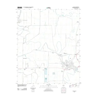 2012 Leland2012 Print · USGSThe heart of the Mississippi Delta comes into focus in this recent survey of the settlements and bayous surrounding Leland. Genealogists and historians can trace local landmarks like Oakland Cemetery and the community at Stoneville along the banks of Deer Creek.
 - 2012 Map of Delta City, 2012 Print
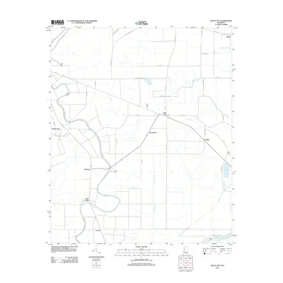 2012 Delta City2012 Print · USGSThe Mississippi Delta's agricultural heartland is documented here in the early twenty-first century, showing the enduring layout of rural Sharkey County. Local researchers can trace family roots through historic sites like Mount Zion Cem and the communities of Nitta Yuma and Panther Burn.
 - 2012 Map of Arcola, 2012 Print
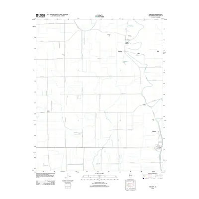 2012 Arcola2012 Print · USGSThis Mississippi Delta landscape near the Washington and Issaquena county line shows a rural community tied to the land and its waterways in 2012. Researchers can locate family landmarks such as Morning Star Cem and Jones Chapel, or trace the old routes through Wilmot and Arcola.
 - 2012 Map of Midnight NW, 2012 Print
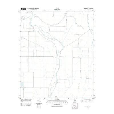 2012 Midnight NW2012 Print · USGSWashington County at the turn of the decade is defined by its deep agricultural roots and the winding course of the Big Sunflower River. Researchers can trace old property lines and local landmarks along Beasley Bayou and Bogue Phalia.
 - 2012 Map of Hollandale, 2012 Print
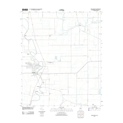 2012 Hollandale2012 Print · USGSThe Mississippi Delta's agricultural heartland is documented here during the early twenty-first century, centered on the community of Hollandale. Genealogists can trace family heritage through local landmarks like Magruder Cem, Bellamy Cem, and the settlement at Darlove.
 - 2012 Map of Richey, 2012 Print
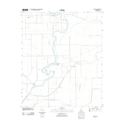 2012 Richey2012 Print · USGSThe Mississippi Delta riverfront comes into focus in this early 21st-century survey of Washington County. Researchers can trace rural road networks and historic river crossings like Murphy Ferry and the settlements of Richey and Bommers.
 - 2012 Map of Percy, 2012 Print
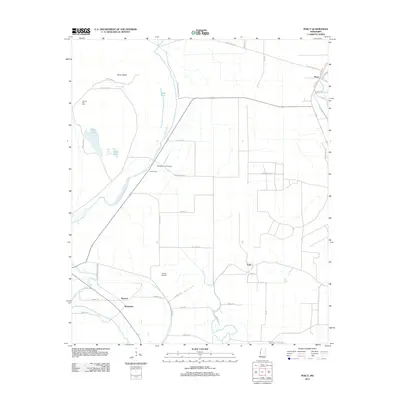 2012 Percy2012 Print · USGSThe Mississippi Delta landscape near Percy shows its agricultural and aquatic character in the early twenty-first century. Researchers can locate small settlements like Sago and Woodside, and trace family sites at Canaan Hill Cem or the local Eifling Farms Airport.
 - 2012 Map of Greenville, 2012 Print
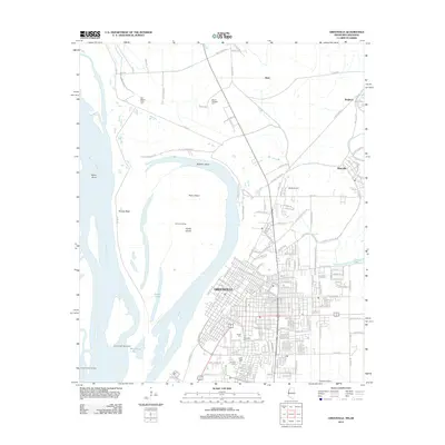 2012 Greenville2012 Print · USGSThe Mississippi Delta's riverfront and city grid are captured here in the early twenty-first century, showing the evolving shoreline and urban landscape. Genealogists can locate several distinct burial sites including Old Mount Tabor Cem, Chinese Cem, and Jewish Cem.
 - 2012 Map of Wayside, 2012 Print
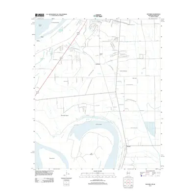 2012 Wayside2012 Print · USGSThe Mississippi Delta south of Greenville is shown here in the early 2010s, where the great river meets a highly engineered agricultural landscape. Researchers can trace the river's curve at American Bend, locate the Lakeview Gardens Com, or follow the drainage network of Main Canal and Swiftwater.
 - 2012 Map of Swan Lake NW, 2012 Print
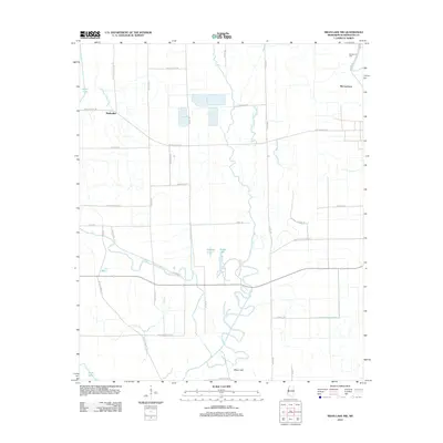 2012 Swan Lake NW2012 Print · USGSThe Mississippi Delta's alluvial landscape is captured here in the early 2010s, defined by the winding waters of Deer Cr. Genealogists and local historians can locate Macedonia Cem and trace old family routes along Woods Sawmill Rd or Phinisee Rd.
Showing maps 1-25 of 120
Top cities of Washington County
- Greenville historical maps
- Leland historical maps
- Hollandale historical maps
- Metcalfe historical maps
- Arcola historical maps
Frequently asked questions
- What are the different types of historical maps available for Washington County?
- What is the oldest map of Washington County?
- Where can I purchase historical maps of Washington County for my home or office?
- Where can I download high-res historical maps of Washington County?
- Are there historical topographic maps available for Washington County?
- Is there historical aerial imagery available for Washington County?
- Where are historical maps of Washington County sourced from?