2000s (21st Century) Maps of Audrain County, Missouri
Explore 80 historic maps of Audrain County from the 2000s (21st Century). These maps offer a rare glimpse into what life looked like during the 2000s — showing old roads, neighborhoods, homes, and landmarks that have changed or disappeared over time.
Whether you're researching your family's past, planning a metal detecting trip, or studying how Audrain County's landscape evolved across the 2000s, these high-resolution maps are a powerful tool for exploring the history of this region.
- Focus on a specific era: All maps on this page are from the 2000s, giving you a focused view of this time period.
- See what’s changed: Compare century-old streets, trails, and buildings to today's modern landscape using overlays and satellite layers.
- Research with precision: Use these maps for genealogy, historical research, land use analysis, or educational projects.
- View, download, or print: Maps are fully viewable online in high resolution, and can be downloaded or printed for your own records.
Start exploring Audrain County's history through authentic maps from the 2000s. This is your window into the past.
Audrain County, MO maps
(80)- 2012 Map of Auxvasse, 2012 Print
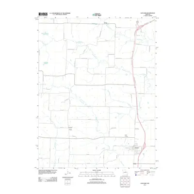 2012 Auxvasse2012 Print · USGSMid-Missouri farmland and small-town life are documented here in the early twenty-first century as the landscape evolved around the Highway 54 corridor. Researchers can trace family roots through Concord Cemetery or the Grand Prairie Cemetery while following the winding courses of Beaverdam Creek.
 - 2012 Map of Martinsburg, 2012 Print
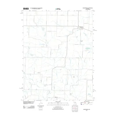 2012 Martinsburg2012 Print · USGSMartinsburg and the surrounding Audrain County farmlands are documented here during the early 21st century. Researchers can trace rural lineages through family-named landmarks and sites like Sawyers Cemetery, Martinsburg Cemetery, and the community of Shamrock.
 - 2012 Map of Vandalia, 2012 Print
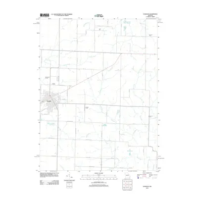 2012 Vandalia2012 Print · USGSVandalia and its rural surrounds are detailed here during the early twenty-first century, showing a landscape of family-named roads and reservoirs. Genealogists and local historians can trace sites like Vandalia Cemetery, Elm Grove School, and the New Harmony Cemetery.
 - 2012 Map of Hutchison, 2012 Print
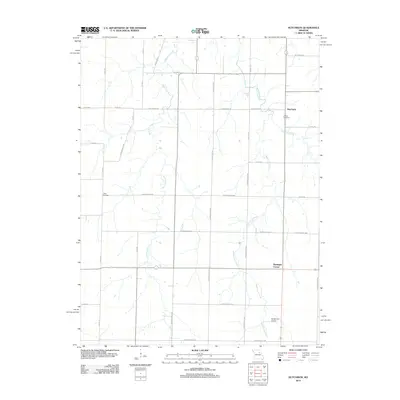 2012 Hutchison2012 Print · USGSNortheast Missouri agriculture and creek drainage systems are visible in this early 21st-century survey of the Laddonia area. Genealogists and historians can trace family locations near Corinth Cemetery, Hutchison, and Bassinger Corner.
 - 2012 Map of Santa Fe, 2012 Print
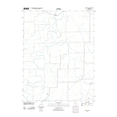 2012 Santa Fe2012 Print · USGSThe quiet agricultural lands of Audrain County are documented here in the early twenty-first century. Genealogists and local historians can locate Eubank Cemetery, Bean Creek Cemetery, and trace the paths of the South Fork Salt River and Littleby Creek.
 - 2012 Map of Vandalia Lake, 2012 Print
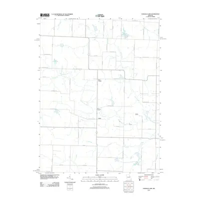 2012 Vandalia Lake2012 Print · USGSAudrain County’s rural landscape is captured here in the early 2010s, showing a region defined by agricultural crossroads and winding river forks. Family researchers can pinpoint burial sites like New Providence Cemetery and settlements such as Culiver or Rices Corner.
 - 2012 Map of Laddonia, 2012 Print
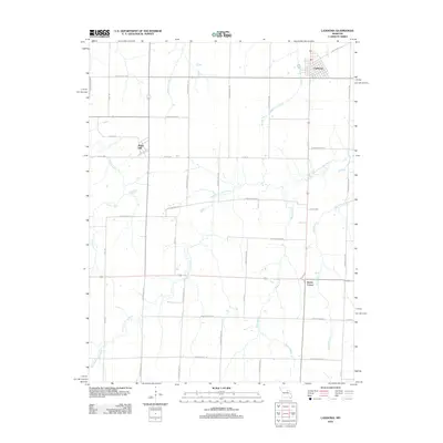 2012 Laddonia2012 Print · USGSAudrain County agriculture and rural life take center stage in this early twenty-first-century survey of the Missouri plains. Genealogists and local historians can trace the footprints of Laddonia, Rush Hill, and Scotts Corner alongside the winding West Fork Cuivre River.
 - 2012 Map of Mexico SE, 2012 Print
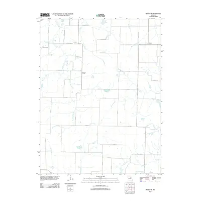 2012 Mexico SE2012 Print · USGSSoutheast Audrain County in the early twenty-first century remains a landscape of traditional farmsteads and sprawling creek networks. Genealogists and local historians can locate several burial grounds, including Lockridge Cemetery and New Hope Cemetery, alongside prominent water features like Don Woods Lake.
 - 2012 Map of Mexico East, 2012 Print
 2012 Mexico East2012 Print · USGSEastern Audrain County comes into focus in this early twenty-first-century survey, capturing the agricultural outskirts of Mexico. Local historians can trace family locations near East Lawn Memorial Cemetery or the quiet settlement of Vandiver.
 - 2012 Map of Mexico West, 2012 Print
 2012 Mexico West2012 Print · USGSThe western reaches of Mexico, Missouri, are documented here at the start of the 2010s as the town transitions into the surrounding farmland. Researchers can trace the layout of Elmwood Cemetery, the waters of Teal Lake, and the rural community at Thompson.
 - 2012 Map of Middletown, 2012 Print
 2012 Middletown2012 Print · USGSMiddletown and the surrounding Missouri countryside appear here in the early twenty-first century, showing a landscape of quiet rural crossroads. Researchers can trace local roots at the Fairmount Cemetery, Culwell School, and the outlying settlement of Gazette.
 - 2012 Map of Molino, 2012 Print
 2012 Molino2012 Print · USGSAudrain County at the start of the 2010s is a landscape of winding creeks and quiet rural crossroads. Researchers can trace family history through New Hope Cemetery and Mount Zion Cemetery or locate the settlements of Molino and Hollensville.
 - 2012 Map of Farber, 2012 Print
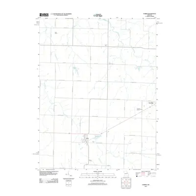 2012 Farber2012 Print · USGSThe northern Missouri prairie around Farber and Vandalia is revealed in this 2012 survey, showing a landscape of structured townships and creek drainages. Researchers can trace local heritage at Evergreen Memorial Gardens Cemetery or locate the site of Liberty Hall.
 - 2012 Map of Sturgeon, 2012 Print
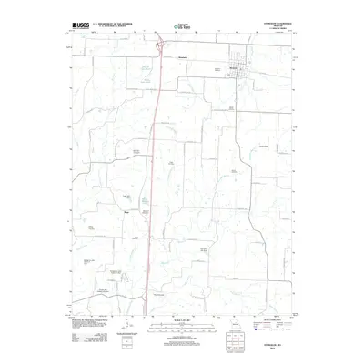 2012 Sturgeon2012 Print · USGSSturgeon and the rural landscapes of northern Boone County are captured here in the early twenty-first century. Genealogists and local historians can locate several family cemeteries such as Nailer Cemetery and prominent landmarks like The Pinnacles.
 - 2012 Map of Clark, 2012 Print
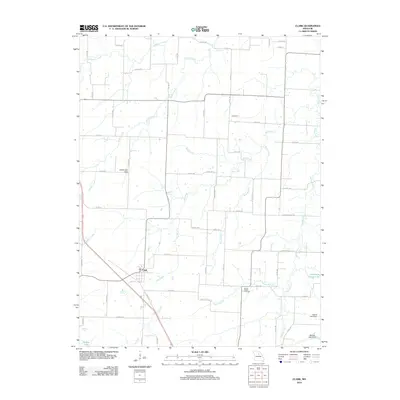 2012 Clark2012 Print · USGSAgricultural life in central Missouri is centered around Clark and the smaller community of Davenport during the early twenty-first century. Researchers can locate family landmarks like Mount Pisgah Cemetery and trace several water systems including Big Creek and Lick Fork.
 - 2012 Map of Hatton, 2012 Print
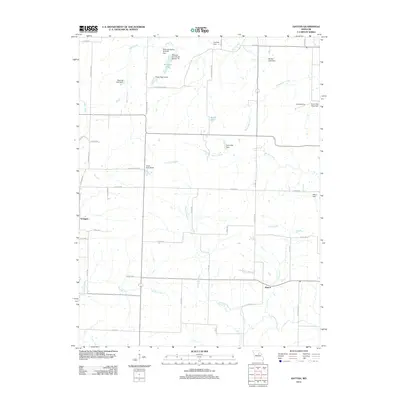 2012 Hatton2012 Print · USGSCallaway County's rural crossroads and water systems are documented here in the early twenty-first century. Researchers can trace family land and small-scale infrastructure around Hatton, Youngers, and private landmarks like Bastian Lake Dam.
 - 2012 Map of Centralia, 2012 Print
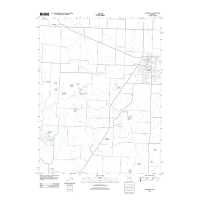 2012 Centralia2012 Print · USGSCentralia and the surrounding Missouri countryside are shown in detail as they appeared during the early twenty-first century. Researchers can locate family roots at Far West Cemetery or Union Cemetery and trace the local landscape through features like Tri-City Lake and the Chance Airport.
 - 2012 Map of Tulip, 2012 Print
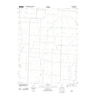 2012 Tulip2012 Print · USGSNorth of Centralia in the early twenty-first century, this Missouri landscape is defined by the crossroads at Tulip and Saling. Genealogists and local historians can trace the rural drainage of Goodwater Creek and find family-named landmarks like the Harry Freeman Dam.
 - 2012 Map of Rowena, 2012 Print
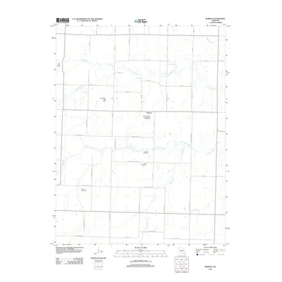 2012 Rowena2012 Print · USGSThe Missouri prairie around Rowena comes into focus in the early 2010s, showing a landscape shaped by rural industry and water management. Genealogists and local historians can trace family-named landmarks like Donaldson Lake Dam, Sudbrock Lake Dam, and Henry Lake Dam.
 - 2012 Map of Centralia NE, 2012 Print
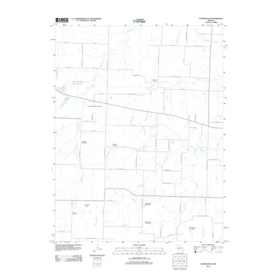 2012 Centralia NE2012 Print · USGSAgricultural development and rural water management define this Central Missouri landscape as it appeared in the early twenty-first century. Genealogists and local historians can trace family roots through sites like Skull Lick Cemetery and German Cemetery, or locate the settlement at Gant.
 - 2014 Map of Clark, 2014 Print
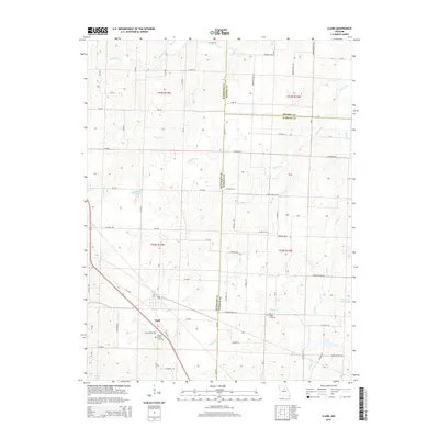 2014 Clark2014 Print · USGSNorth central Missouri farmland and the tri-county borders are captured here in the early twenty-first century. Genealogists can trace family locations near Clark and find burial sites at Chapel Grove Cemetery or the Mount Pisgah Cemetery along the local creek forks.
 - 2014 Map of Molino, 2014 Print
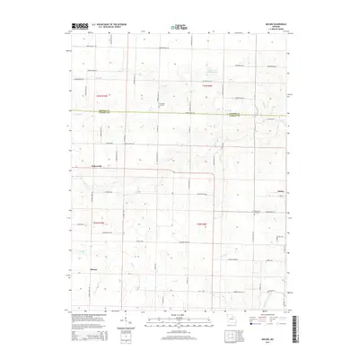 2014 Molino2014 Print · USGSAudrain and Monroe Counties are captured here in the early twenty-first century, showing a rural landscape of prairie farms and prairie creeks. Researchers can locate family landmarks like New Hope Cemetery and Mount Zion Cemetery near the crossroads of Molino and Hollensville.
 - 2014 Map of Mexico West, 2014 Print
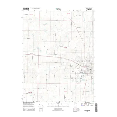 2014 Mexico West2014 Print · USGSThe city of Mexico and its western outskirts are captured here during a period of steady Midwestern growth. Researchers can trace local lineage through Saint Brendans Cemetery or locate family landmarks like Deimeke Lake and Paul Veale Lake.
 - 2014 Map of Sturgeon, 2014 Print
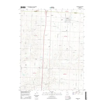 2014 Sturgeon2014 Print · USGSNorthern Boone County comes into focus in this early 21st-century survey of the communities around Sturgeon and Riggs. Genealogists and local historians can trace family ties through numerous rural burial sites like Mount Horeb Cemetery and Palmer Cemetery.
 - 2014 Map of Tulip, 2014 Print
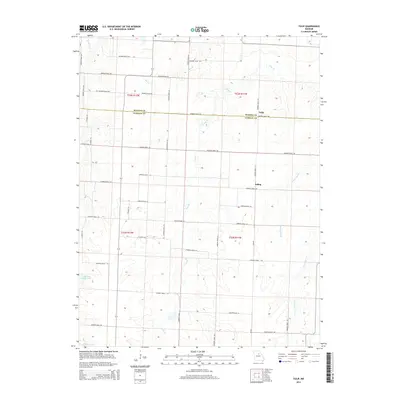 2014 Tulip2014 Print · USGSThe rural border of Monroe and Audrain counties is captured here in the early twenty-first century, showing a landscape shaped by agriculture and winding creeks. Genealogists and local researchers can trace the roads around Tulip and Saling or locate properties near Cedarlane Farms Lake.
Showing maps 1-25 of 80
Top cities of Audrain County
- Mexico historical maps
- Vandalia historical maps
- Laddonia historical maps
- Farber historical maps
- Martinsburg historical maps
- Rush Hill historical maps
See more
Frequently asked questions
- What are the different types of historical maps available for Audrain County?
- What is the oldest map of Audrain County?
- Where can I purchase historical maps of Audrain County for my home or office?
- Where can I download high-res historical maps of Audrain County?
- Are there historical topographic maps available for Audrain County?
- Is there historical aerial imagery available for Audrain County?
- Where are historical maps of Audrain County sourced from?