2020s Maps of Barry County, Missouri
Explore 30 historic maps of Barry County from the 2020s. These maps offer a rare glimpse into what life looked like during the 2020s — showing old roads, neighborhoods, homes, and landmarks that have changed or disappeared over time.
Whether you're researching your family's past, planning a metal detecting trip, or studying how Barry County's landscape evolved across the 2020s, these high-resolution maps are a powerful tool for exploring the history of this region.
- Focus on a specific era: All maps on this page are from the 2020s, giving you a focused view of this time period.
- See what’s changed: Compare century-old streets, trails, and buildings to today's modern landscape using overlays and satellite layers.
- Research with precision: Use these maps for genealogy, historical research, land use analysis, or educational projects.
- View, download, or print: Maps are fully viewable online in high resolution, and can be downloaded or printed for your own records.
Start exploring Barry County's history through authentic maps from the 2020s. This is your window into the past.
Barry County, MO maps
(30)- 2020 Map of Garfield, 2020 Print
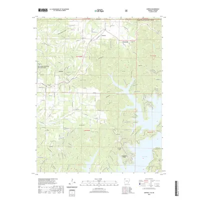 2020 Garfield2020 Print · USGSBenton County, Arkansas, is captured here as the Ozark landscape meets the expansive waters of Beaver Lake. Researchers can locate family landmarks like the Walnut Hill Cem or trace the boundaries of Pea Ridge National Military Park.
 - 2020 Map of Beaver, 2020 Print
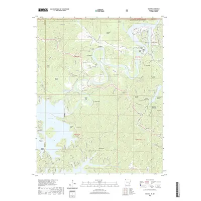 2020 Beaver2020 Print · USGSThe White River valley at the Arkansas-Missouri line comes to life in this survey of the Ozark highlands. Researchers can trace family sites at Walden Cem and Fuller Cem, or locate landmarks like the Beaver Bridge and Inspiration Point.
 - 2020 Map of Pea Ridge, 2020 Print
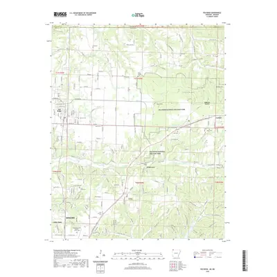 2020 Pea Ridge2020 Print · USGSNorthwest Arkansas near the Missouri state line appears here in the modern era, balancing deep historical preservation with regional growth. Researchers can locate numerous family burial sites and historic landmarks like Elkhorn Tavern, Pea Ridge Cem, and Tucks Chapel Cem.
 - 2020 Map of Eureka Springs, 2020 Print
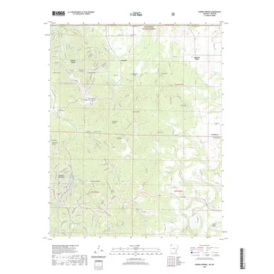 2020 Eureka Springs2020 Print · USGSEureka Springs and the surrounding Ozark highlands are captured here in the contemporary era, showing the intersection of resort life and rural tradition. Genealogists and local historians can trace burial sites at Gaskins Switch Cem or follow the waters from Magnetic Spring to the Kings River.
 - 2020 Map of Grandview, 2020 Print
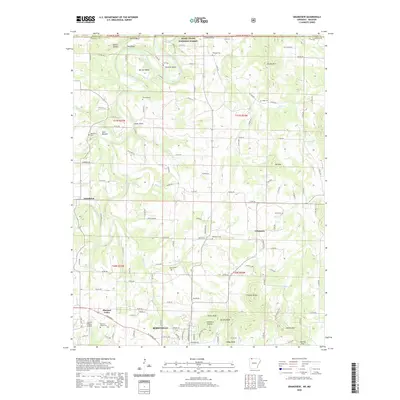 2020 Grandview2020 Print · USGSBerryville and the winding Kings River valley are captured in this recent survey of Carroll County, Arkansas. Researchers can locate numerous local burial grounds like Jones Cem and Bunch Cem or trace the terrain from Gallion Bluff to Ant Mtn.
 - 2021 Map of Jacket, 2021 Print
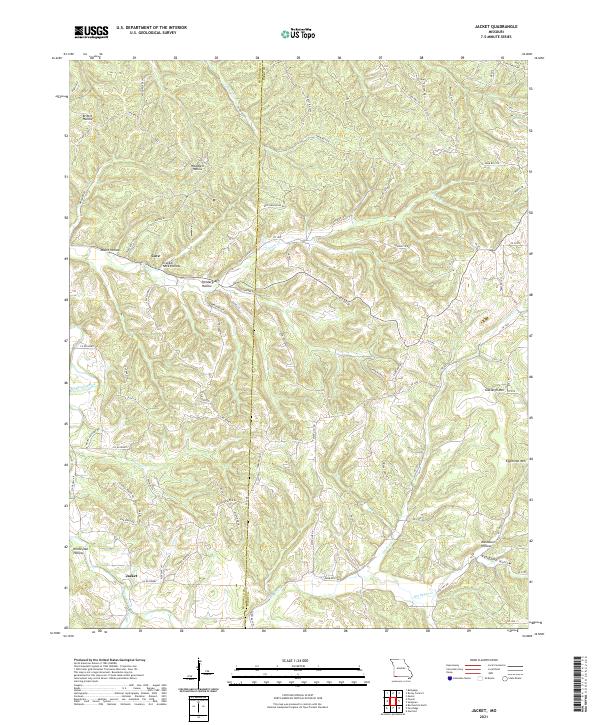 2021 Jacket2021 Print · USGSThe borderlands of Barry and McDonald County come into focus in this contemporary survey of the Ozark plateau. Genealogists and local historians can trace the topography of family-named landmarks like Pendergraff Hollow, Eggleston Mtn, and the small community of Jacket.
 - 2021 Map of Pierce City, 2021 Print
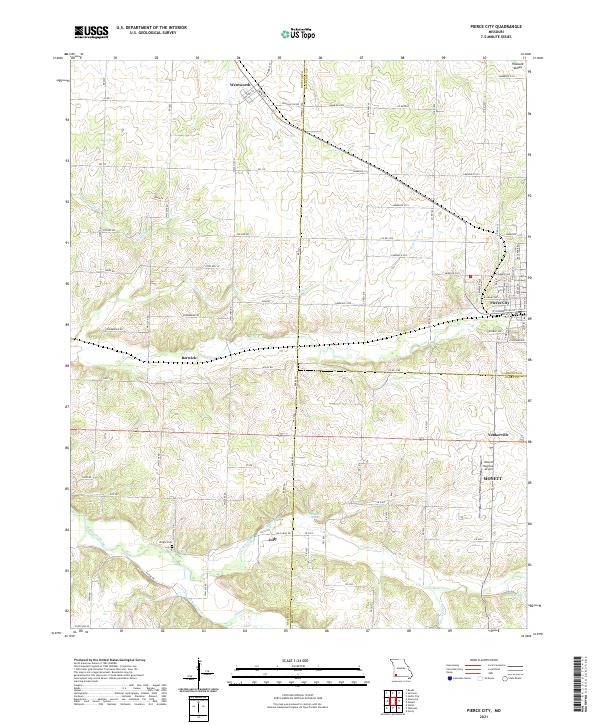 2021 Pierce City2021 Print · USGSPierce City and its neighboring Ozark border towns are shown here in the modern era as they navigate a landscape of agriculture and aviation. Genealogists and local researchers can trace family landmarks like Wright Cem or find the small communities of Berwick, Jolly, and Yonkerville.
 - 2021 Map of Wheaton, 2021 Print
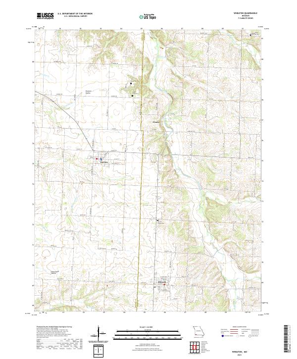 2021 Wheaton2021 Print · USGSBarry and Newton County farm country is captured here during its recent period of agricultural stability and rural growth. Researchers can locate several burial grounds including Muncie Chapel Cem and Barker Cem near the headwaters of Shoal Creek.
 - 2021 Map of Rocky Comfort, 2021 Print
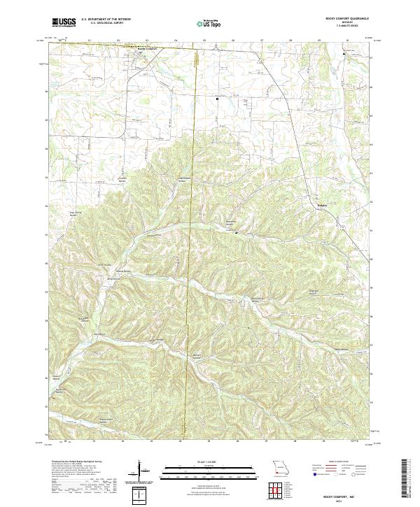 2021 Rocky Comfort2021 Print · USGSThe rural landscapes of McDonald and Barry counties are captured here in the early twenty-first century. Genealogists can trace family roots through sites like Chitwood Cem and Ridgley, or locate family lands near Pigeon Roost Hollow.
 - 2021 Map of Monett, 2021 Print
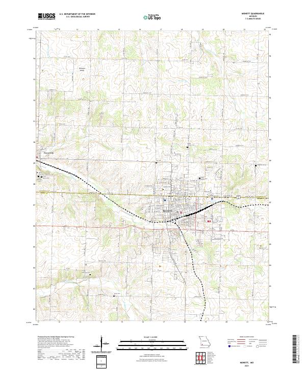 2021 Monett2021 Print · USGSMonett and Pierce City are shown at the turn of the decade, revealing a densely settled landscape along the Lawrence and Barry County line. Genealogists can locate family sites at Mount Calvary Cem, New Site Cem, or Carlin Cem along Hudson Cr.
 - 2021 Map of Verona, 2021 Print
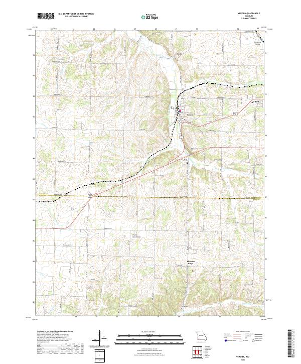 2021 Verona2021 Print · USGSThe Spring River valley in the Missouri Ozarks is documented here during a period of modern growth at the border of Lawrence and Barry counties. Researchers can locate the grid of Verona, trace family roots at Calton Cem, and explore the geography of Globe.
 - 2021 Map of Shell Knob, 2021 Print
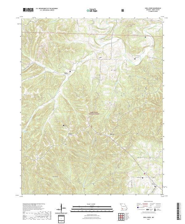 2021 Shell Knob2021 Print · USGSBarry County’s timbered uplands and deep hollows are captured in the early 2020s, showing a landscape defined by forest management and small rural communities. Genealogists can locate numerous family burial sites like Snyder Cem and Doughty Cem near the banks of Flat Creek.
 - 2021 Map of Cape Fair, 2021 Print
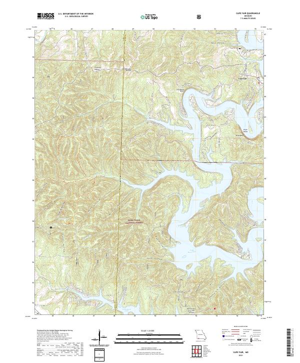 2021 Cape Fair2021 Print · USGSStone County and the Mark Twain National Forest meet the waters of Table Rock Lake in this recent survey. Local historians can trace the topography around Cape Fair, from Marsh Spring to prominent river-carved landmarks like Virgin Bluff.
 - 2021 Map of Eagle Rock, 2021 Print
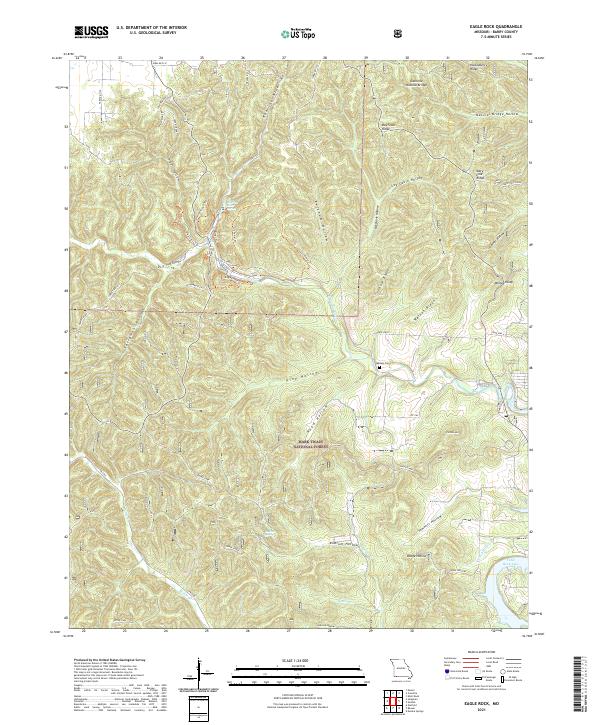 2021 Eagle Rock2021 Print · USGSThe Ozark plateau in Barry County is detailed here just after the second decade of the new millennium, showing a landscape of deep hollows and forest management. Researchers can locate Munsey Cem, trace the Devils Kitchen Trail, or explore the drainages around Roaring River Spring.
 - 2021 Map of Viola, 2021 Print
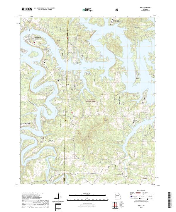 2021 Viola2021 Print · USGSThe Ozark Plateau meets the winding arms of the White River in the 2020s, revealing a landscape of lakeside settlements and forest. Trace local family history through Viola Cem and Fields Cem or locate landmarks like The Peninsula Airport.
 - 2021 Map of Jenkins, 2021 Print
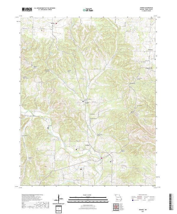 2021 Jenkins2021 Print · USGSBarry County’s rugged Ozark terrain is mapped here in the early 2020s, showing a landscape of deep hollows and creek-side settlements. Local historians can trace family roots through numerous burial sites like Stubblefield Cem and Kane Cem, or explore the drainages around Jenkins and Wheelerville.
 - 2021 Map of Purdy, 2021 Print
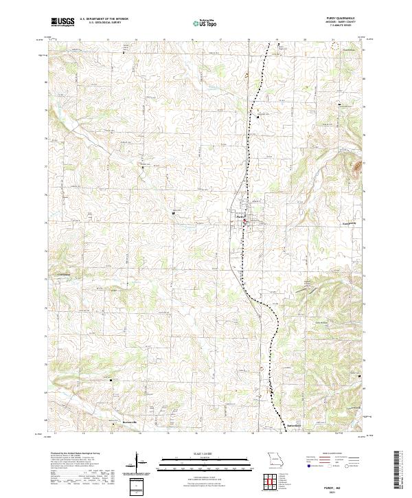 2021 Purdy2021 Print · USGSPurdy and the rural reaches of Barry County are captured in the early 2020s, showing a landscape of established farmsteads and historic family crossroads. Genealogists can trace ancestral sites at Stones Prairie Cem and Stinnett Cem, or locate the smaller settlements of Corsicana and Butterfield.
 - 2021 Map of Cassville, 2021 Print
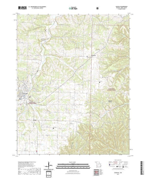 2021 Cassville2021 Print · USGSThe Barry County seat and its rugged surrounding hollows are captured here during the early twenty-first century. Genealogists and historians can locate numerous rural burial sites like Horner Cem and Oak Ridge Cem alongside the waters of Rockhouse Cr.
 - 2021 Map of Exeter, 2021 Print
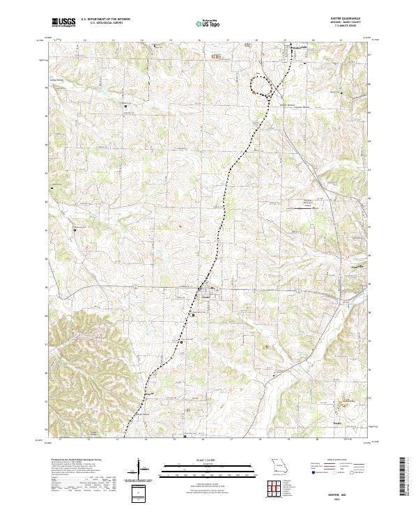 2021 Exeter2021 Print · USGSBarry County’s rural landscape is captured here in the early twenty-first century, showcasing a transition from secluded hollows to modern infrastructure. Researchers can trace family history through numerous local burial sites like True Love Cem and Maplewood Cem, or locate landmarks such as Talbert Spring.
 - 2021 Map of Elsey, 2021 Print
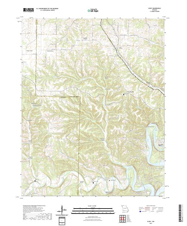 2021 Elsey2021 Print · USGSStone County, Missouri, is captured here in the early 2020s, showing a rugged landscape where traditional Ozark hollows meet the modern shoreline of Table Rock Lake. Researchers can locate family landmarks like Hilton Cem, the settlement at Elsey, and geographic features like Horse Shoe Bend.
 - 2021 Map of Aurora, 2021 Print
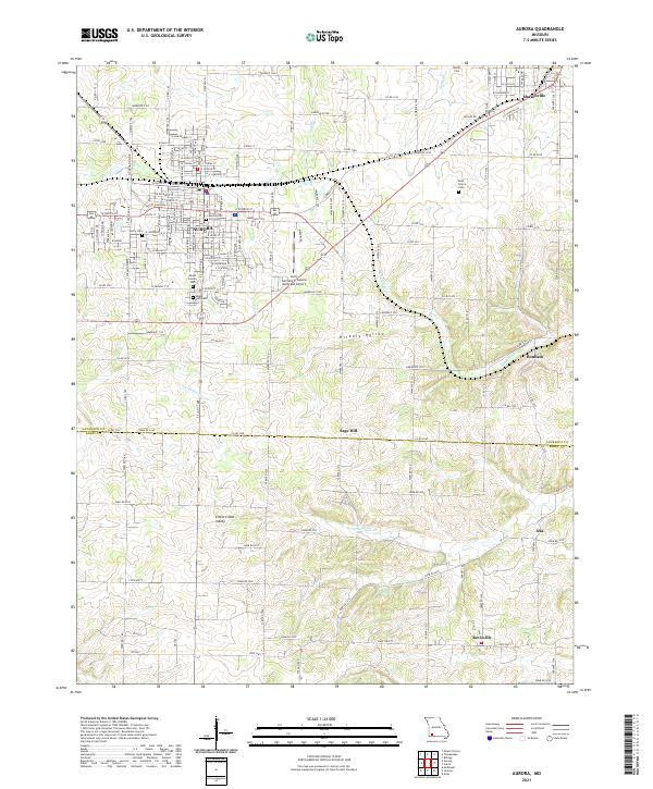 2021 Aurora2021 Print · USGSThe Ozark plateau near the Lawrence and Barry County line is shown here in detail during a period of modern growth and rural continuity. Genealogists can locate family sites near Berry Cemetery and Buck Prairie Cemetery or trace the early paths through Hickory Hollow.
 - 2021 Map of Crane, 2021 Print
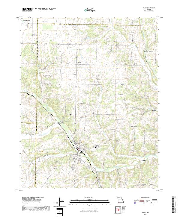 2021 Crane2021 Print · USGSStone County's rolling hills and spring-fed valleys are mapped here in the modern era, showing the enduring settlement patterns of the Ozarks. Researchers can locate family-named landmarks like McCullah Hollow and historic rural sites including Charity Cem and the Butterfield Trail Rd.
 - 2021 Map of Seligman, 2021 Print
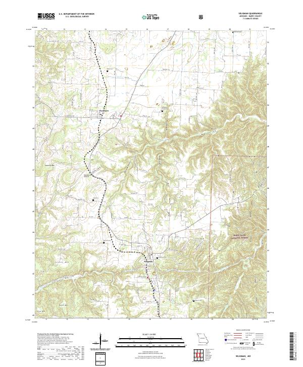 2021 Seligman2021 Print · USGSSouthwest Missouri's Ozark plateau is captured here in the early twenty-first century, centered on the settlements of Seligman and Washburn. Genealogists can trace local roots across numerous burial sites like Washburn Prairie Cem and Seligman Cem set among the heights of Lennox Mtn.
 - 2021 Map of Golden, 2021 Print
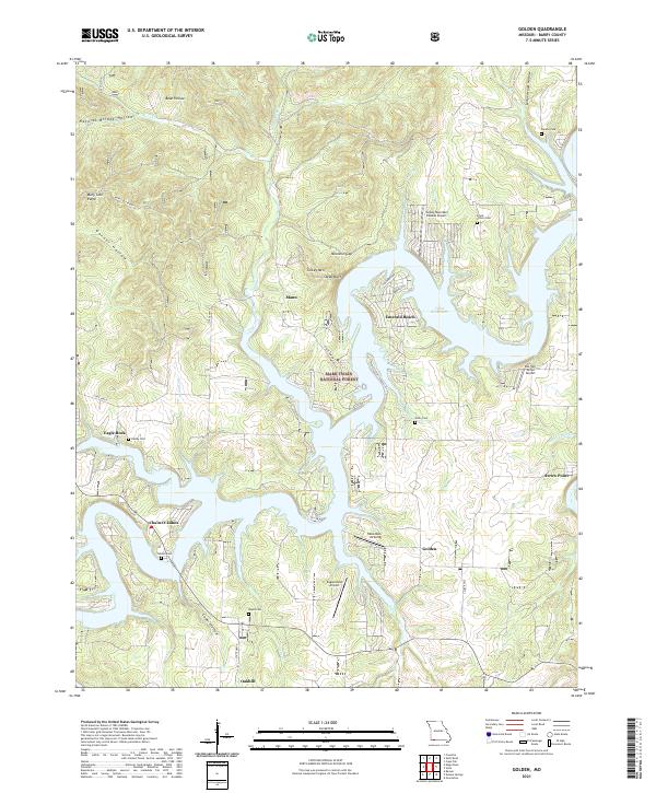 2021 Golden2021 Print · USGSThe Ozark hills and the sprawling arms of Table Rock Lake define Barry County in this recent era of Missouri history. Researchers can locate numerous family burial grounds including Farewell Cem and Roach Cem or trace the early settlement sites of Eagle Rock and Golden.
 - 2021 Map of McDowell, 2021 Print
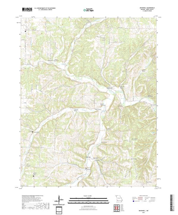 2021 McDowell2021 Print · USGSThe rural valleys of Barry County come alive in this recent survey of the Missouri Ozark foothills. Genealogists and local historians can trace family roots through sites like Bullington Cem, Star City, and the winding hollows near McDowell.
Showing maps 1-25 of 30
Top cities of Barry County
- Cassville historical maps
- Purdy historical maps
- Seligman historical maps
- Exeter historical maps
- Wheaton historical maps
- Washburn historical maps
See more
Frequently asked questions
- What are the different types of historical maps available for Barry County?
- What is the oldest map of Barry County?
- Where can I purchase historical maps of Barry County for my home or office?
- Where can I download high-res historical maps of Barry County?
- Are there historical topographic maps available for Barry County?
- Is there historical aerial imagery available for Barry County?
- Where are historical maps of Barry County sourced from?