2000s (21st Century) Maps of Barry County, Missouri
Explore 105 historic maps of Barry County from the 2000s (21st Century). These maps offer a rare glimpse into what life looked like during the 2000s — showing old roads, neighborhoods, homes, and landmarks that have changed or disappeared over time.
Whether you're researching your family's past, planning a metal detecting trip, or studying how Barry County's landscape evolved across the 2000s, these high-resolution maps are a powerful tool for exploring the history of this region.
- Focus on a specific era: All maps on this page are from the 2000s, giving you a focused view of this time period.
- See what’s changed: Compare century-old streets, trails, and buildings to today's modern landscape using overlays and satellite layers.
- Research with precision: Use these maps for genealogy, historical research, land use analysis, or educational projects.
- View, download, or print: Maps are fully viewable online in high resolution, and can be downloaded or printed for your own records.
Start exploring Barry County's history through authentic maps from the 2000s. This is your window into the past.
Barry County, MO maps
(105)- 2011 Map of Pea Ridge, 2011 Print
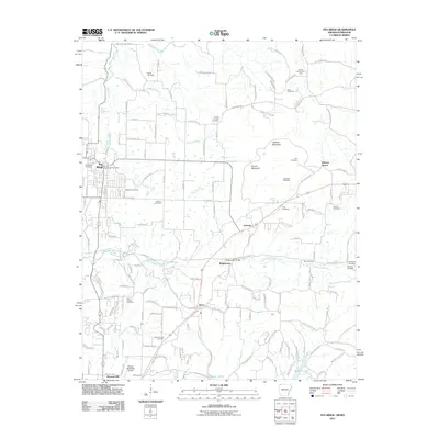 2011 Pea Ridge2011 Print · USGSPea Ridge and the northern Arkansas highlands are captured here in the early twenty-first century. Researchers can trace family history through a wealth of landmarks like Elkhorn Tavern, Twelve Corners Cemetery, and the Pea Ridge Battlefield.
 - 2012 Map of Cape Fair, 2012 Print
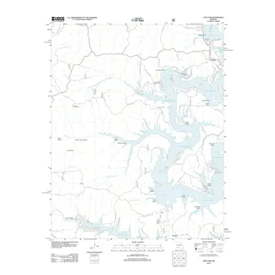 2012 Cape Fair2012 Print · USGSThe Stone County shoreline comes alive in this survey of the Table Rock Lake area in the early 2010s. Researchers can locate family sites near Cape Fair, trace the ridges to the Pineview Lookout Tower, or find the Woolly Creek Community Hall and Cape Fair Cemetery.
 - 2012 Map of Aurora, 2012 Print
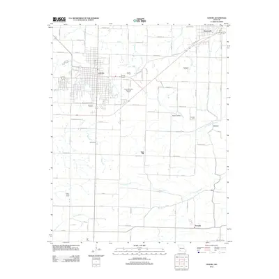 2012 Aurora2012 Print · USGSLawrence County at the start of the 2010s shows a landscape of established townships and persistent rural school districts. Genealogists and historians can locate community landmarks like Lone Star School, Buck Prairie Cemetery, and the Sunset Drive-In near Aurora.
 - 2012 Map of Jenkins, 2012 Print
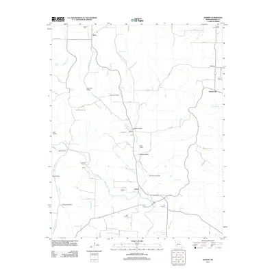 2012 Jenkins2012 Print · USGSBarry County’s rural landscape is captured here in the early twenty-first century, showing a network of small settlements and upland hollows. Researchers can locate family roots at Mars Hill Cemetery and Stubblefield Cemetery or trace the legacy of local education at Clay Hill School.
 - 2012 Map of Elsey, 2012 Print
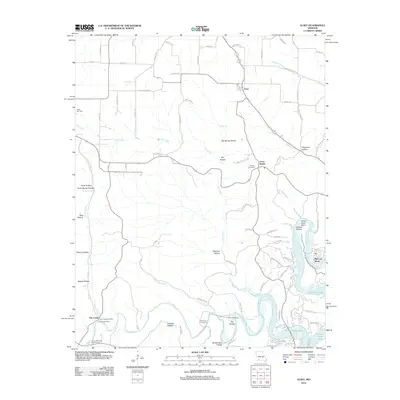 2012 Elsey2012 Print · USGSStone County's Ozark hollows and creek valleys are documented here just after the turn of the millennium. Researchers can locate family landmarks such as Summers Cemetery and the Flat Creek Post Office near Table Rock Lake.
 - 2012 Map of Eureka Springs, 2012 Print
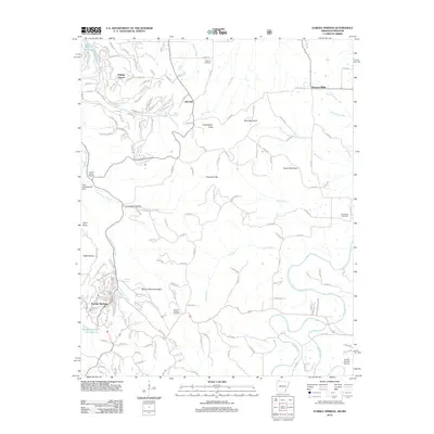 2012 Eureka Springs2012 Print · USGSEureka Springs and the surrounding Ozark terrain are detailed here during the early twenty-first century. Researchers can locate family heritage sites at the Eureka Springs Cemetery or trace landmarks like Pivot Rock and Lake Leatherwood Dam.
 - 2012 Map of Cassville, 2012 Print
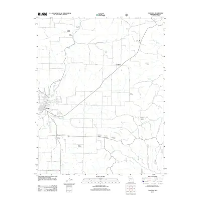 2012 Cassville2012 Print · USGSThe Missouri Ozarks are captured in detail during this modern era, centered on the growing community of Cassville. Genealogists can trace family footprints at Oak Hill Cemetery or remote sites like Horner Cemetery and Quaker Cemetery.
 - 2012 Map of Golden, 2012 Print
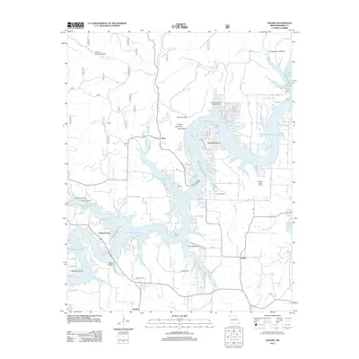 2012 Golden2012 Print · USGSThe intricate shoreline of Barry County is documented here in the early twenty-first century, showing the developed lakeside around Emerald Beach. Researchers can locate family landmarks like Easley Cemetery, Roach Cemetery, and the historic crossroads at Golden.
 - 2012 Map of Monett, 2012 Print
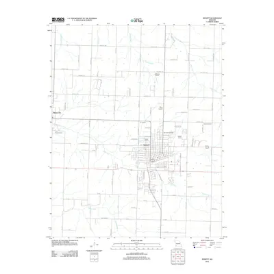 2012 Monett2012 Print · USGSThe borderlands of Lawrence and Barry County come into focus in the early 2010s, centered on the growing grid of Monett. Genealogists and local historians can trace burial sites like Carlin Cemetery and Cox Cemetery or locate regional aviation landmarks such as Monett Airport.
 - 2012 Map of Beaver, 2012 Print
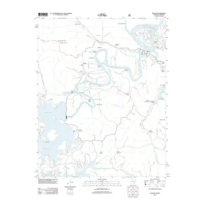 2012 Beaver2012 Print · USGSThe White River valley at the Arkansas-Missouri border is shown here as a landscape shaped by massive water projects and Ozark topography. Researchers can trace local genealogy and landmarks through Walden Cemetery, the Busch Post Office, and the historic Beaver Bridge.
 - 2012 Map of Purdy, 2012 Print
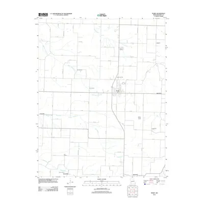 2012 Purdy2012 Print · USGSBarry County’s agricultural heartland appears in great detail during the early 2010s, showing the settled road grid between the Ozark hills. Genealogists can trace family plots at Henderson or Goodnight, and locate historic sites in Purdy or Butterfield.
 - 2012 Map of Crane, 2012 Print
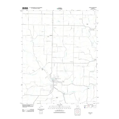 2012 Crane2012 Print · USGSMarionville and the Crane Creek valley come into focus during the early twenty-first century as the local landscape balances small-town centers with rural agriculture. Researchers can trace historic routes like Old Wire Rd and find family sites near Masonic Cemetery or the community of Bradfield.
 - 2012 Map of Seligman, 2012 Print
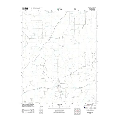 2012 Seligman2012 Print · USGSBarry County’s rural character is well-preserved in this modern survey of the hills near the Arkansas border. Genealogists and historians can locate numerous family burial grounds like True Love Cemetery, King Cemetery, and Burnett Cemetery while tracing the winding paths of Big Sugar Creek and Flat Creek.
 - 2012 Map of Shell Knob, 2012 Print
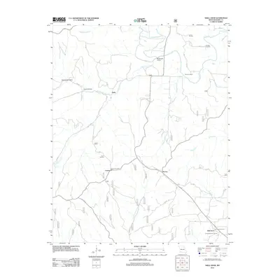 2012 Shell Knob2012 Print · USGSBarry County’s hills and creek beds are captured here during a time of rural stability. Researchers can trace family history through locations like Gaddis School, the Lahmer Fire Lookout Tower, and cemeteries such as Eberly Memorial Cemetery and Pierce Cemetery.
 - 2012 Map of Exeter, 2012 Print
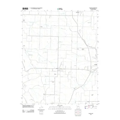 2012 Exeter2012 Print · USGSThe Barry County landscape in the early 2010s reveals a quiet network of Ozark settlements and family burial grounds. Researchers can trace rural lineages at True Love Cemetery, Maplewood Cemetery, and the old House School near Exeter.
 - 2012 Map of Verona, 2012 Print
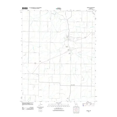 2012 Verona2012 Print · USGSLawrence County, Missouri, at the start of the twenty-first century shows a landscape of river-valley settlements and well-established rural networks. Researchers can trace local heritage through sites like Verona, Spring River Cemetery, and the quiet crossroads at Globe.
 - 2012 Map of Garfield, 2012 Print
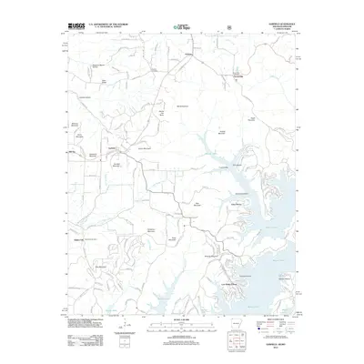 2012 Garfield2012 Print · USGSBenton County, Arkansas, is captured here in the early twenty-first century, showcasing the deep integration of residential life with the waters of Beaver Lake. Researchers can locate family heritage sites like Clantonville Cemetery and trace the geography of the highlands from Devils Eye Brow to Walnut Hill.
 - 2012 Map of McDowell, 2012 Print
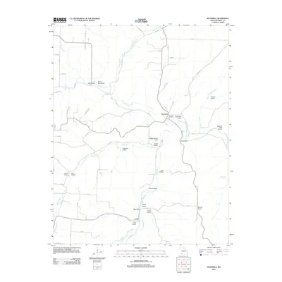 2012 McDowell2012 Print · USGSMcDowell and the Flat Creek valley are captured here in the early twenty-first century, showcasing a rural Missouri landscape defined by its hollows and springs. Local historians can locate Bullington Cemetery, the McDowell Post Office, and the settlement of Star City.
 - 2012 Map of Viola, 2012 Print
 2012 Viola2012 Print · USGSTable Rock Lake defines the landscape of Barry County in the early twenty-first century, where modern lakefront living meets deep-rooted Ozark settlements. Researchers can trace family history through sites like Field Cemetery, McGuire Cemetery, and the community of Carr Lane.
 - 2012 Map of Eagle Rock, 2012 Print
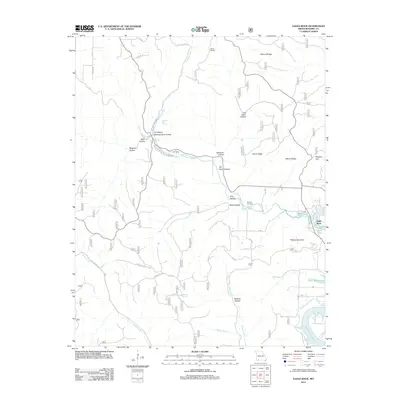 2012 Eagle Rock2012 Print · USGSThe Ozark plateau meets the waters of Table Rock Lake in this 2012 Barry County survey. Genealogists and historians can trace family landmarks at Munsey Cemetery or explore the river-carved hollows around Roaring River Spring and Eagle Rock.
 - 2012 Map of Grandview, 2012 Print
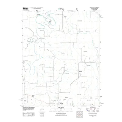 2012 Grandview2012 Print · USGSNorthwest Arkansas in the early twenty-first century is captured here as the landscape transitions from the outskirts of Berryville to the banks of the Kings River. Researchers can locate several family cemeteries, including Jones Cemetery and Blackjack Cemetery, alongside small settlements like Grandview and Urbanette.
 - 2012 Map of Wheaton, 2012 Print
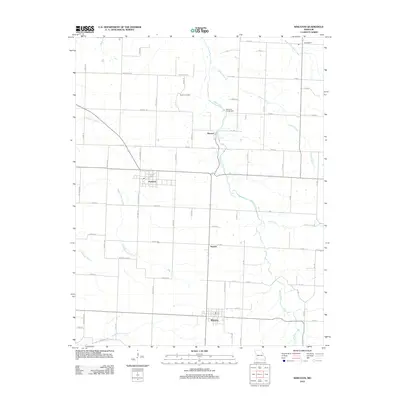 2012 Wheaton2012 Print · USGSBarry County’s western agricultural corridor is seen here in the early twenty-first century, centered on the community of Wheaton. Genealogists and local researchers can trace old homesteads and landmarks like Barker Cemetery, Pioneer, and Camp Yo-Ko-Mo Bluff.
 - 2012 Map of Pierce City, 2012 Print
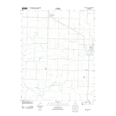 2012 Pierce City2012 Print · USGSPierce City and its surrounding rural townships are shown here in the early twenty-first century as a well-established network of farm roads and spring-fed creeks. Researchers can trace family history at Wright Cemetery or locate the historic hamlets of Berwick, Jolly, and Wentworth.
 - 2012 Map of Rocky Comfort, 2012 Print
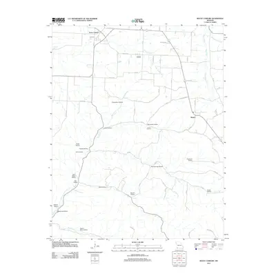 2012 Rocky Comfort2012 Print · USGSRocky Comfort and the surrounding Missouri countryside are captured here in the early twenty-first century, showing a landscape carved by hollows and creeks. Researchers can locate Chitwood Cemetery, trace the path of South Indian Creek, or find family-named points like Layton Hollow.
 - 2012 Map of Jacket, 2012 Print
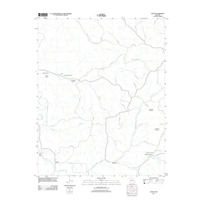 2012 Jacket2012 Print · USGSIn the early 21st century, this corner of McDonald County remains a landscape of deep hollows and high ridges. Genealogists and local historians can trace family-named terrain and remote outposts like Jacket, Eggleston Mountain, and Washburn Hollow.
Showing maps 1-25 of 105
Top cities of Barry County
- Cassville historical maps
- Purdy historical maps
- Seligman historical maps
- Exeter historical maps
- Wheaton historical maps
- Washburn historical maps
See more
Frequently asked questions
- What are the different types of historical maps available for Barry County?
- What is the oldest map of Barry County?
- Where can I purchase historical maps of Barry County for my home or office?
- Where can I download high-res historical maps of Barry County?
- Are there historical topographic maps available for Barry County?
- Is there historical aerial imagery available for Barry County?
- Where are historical maps of Barry County sourced from?