2010s Maps of Barton County, Missouri
Explore 62 historic maps of Barton County from the 2010s. These maps offer a rare glimpse into what life looked like during the 2010s — showing old roads, neighborhoods, homes, and landmarks that have changed or disappeared over time.
Whether you're researching your family's past, planning a metal detecting trip, or studying how Barton County's landscape evolved across the 2010s, these high-resolution maps are a powerful tool for exploring the history of this region.
- Focus on a specific era: All maps on this page are from the 2010s, giving you a focused view of this time period.
- See what’s changed: Compare century-old streets, trails, and buildings to today's modern landscape using overlays and satellite layers.
- Research with precision: Use these maps for genealogy, historical research, land use analysis, or educational projects.
- View, download, or print: Maps are fully viewable online in high resolution, and can be downloaded or printed for your own records.
Start exploring Barton County's history through authentic maps from the 2010s. This is your window into the past.
Barton County, MO maps
(62)- 2010 Map of Mindenmines, 2010 Print
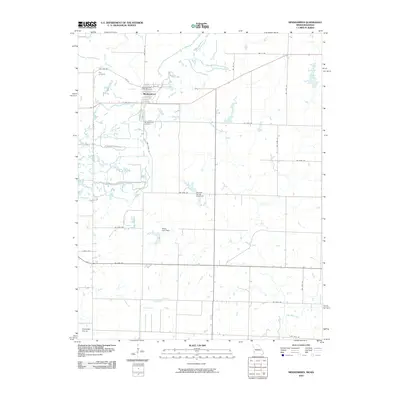 2010 Mindenmines2010 Print · USGSThe Missouri-Kansas border comes into focus in the early 2000s, centered on the grid of Mindenmines and the surrounding Cherokee Plains. Local historians can locate specific sites like the Mindenmines Post Office, Yale Cemetery, and the Moss Lake Dam reservoir.
 - 2010 Map of Asbury, 2010 Print
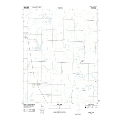 2010 Asbury2010 Print · USGSThe Missouri-Kansas borderlands come into focus in this recent study of Jasper County and its neighboring tracts. Genealogists and local historians can trace the positions of Georgia City, Asbury, and Medoc, or locate the Georgia City Cemetery near the banks of the Spring River.
 - 2011 Map of Milford, 2011 Print
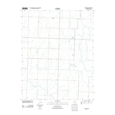 2011 Milford2011 Print · USGSBarton County at the start of the decade shows a quiet rural landscape defined by its river forks and family cemeteries. Trace local genealogy and land use through sites like Doylesport Cemetery, Milford, and the banks of the North Fork Spring River.
 - 2011 Map of Lamar South, 2011 Print
 2011 Lamar South2011 Print · USGSBarton County at the start of the 2010s shows a classic Missouri mix of a growing county seat and quiet rural outposts. Researchers can find old family landmarks and civic centers like the Esrom Post Office, Killey Cemetery, and the Barco Drive-In.
 - 2011 Map of Bronaugh, 2011 Print
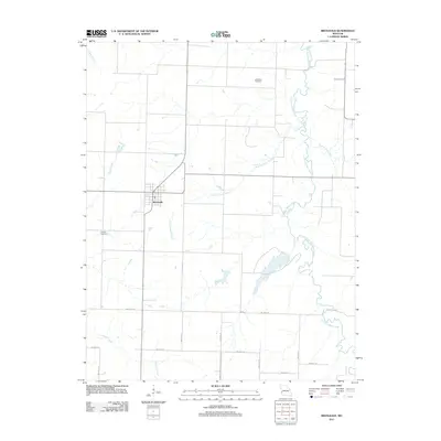 2011 Bronaugh2011 Print · USGSThe town of Bronaugh and its surrounding Vernon County farmlands are documented here in the early twenty-first century. Genealogists and local historians can locate rural landmarks such as McMullin Cemetery, Worsley Cemetery, and the meandering Little Dry Wood Creek.
 - 2011 Map of Bellamy, 2011 Print
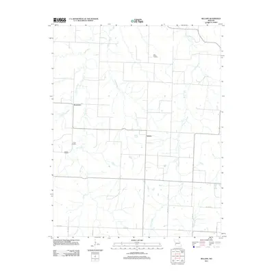 2011 Bellamy2011 Print · USGSBellamy and its surrounding Vernon County farmsteads are documented in this early twenty-first-century survey. Genealogists can locate several local burial sites including Olive Branch Cemetery and Warwick Cemetery near the banks of Clear Creek.
 - 2011 Map of Iantha, 2011 Print
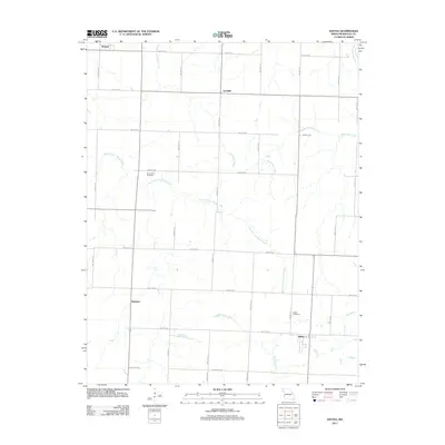 2011 Iantha2011 Print · USGSBarton County at the beginning of the 2010s shows a landscape of steady agricultural grids and winding prairie creeks. Researchers can pinpoint early cemeteries and rural settlements including Iantha, Verdella, and the Barton City Cemetery.
 - 2011 Map of Mindenmines, 2011 Print
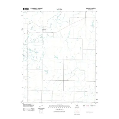 2011 Mindenmines2011 Print · USGSMindenmines and the surrounding Barton County prairie are captured here at the start of the 2010s. Researchers can locate local landmarks like the Mindenmines Post Office and Yale Cemetery, or trace the winding course of Glendale Fork.
 - 2011 Map of Asbury, 2011 Print
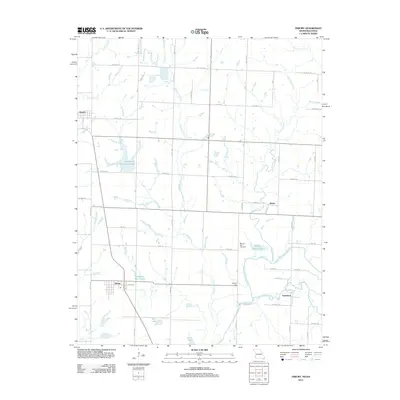 2011 Asbury2011 Print · USGSSettled along the Kansas border in the early twenty-first century, this landscape is a network of small towns and managed waterways. Trace family history and rural roots through the Georgia City Cemetery and settlements like Asbury, Medoc, and Galesburg.
 - 2011 Map of Neck City, 2011 Print
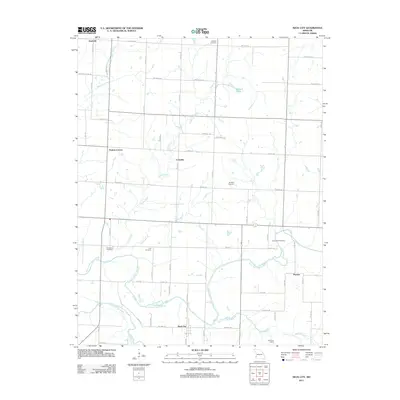 2011 Neck City2011 Print · USGSThe rural landscapes of Barton and Jasper Counties are captured here in the early twenty-first century as small settlements and family farms endure. Genealogists can locate several historic burial sites like Shapley Cemetery and Cedar Bluff Cemetery or trace the routes through Neck City and Cossville.
 - 2011 Map of Montevallo, 2011 Print
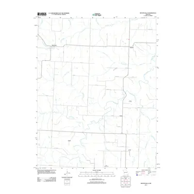 2011 Montevallo2011 Print · USGSMontevallo and the rural crossroads of Vernon County are captured here in the early twenty-first century. Genealogists and local historians can trace family locations near Oldham Cemetery, the small community of Zodiac, and the winding banks of Horse Creek.
 - 2011 Map of Jerico Springs, 2011 Print
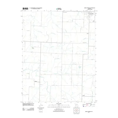 2011 Jerico Springs2011 Print · USGSBarton County agricultural lands are captured in the early 21st century, showing the enduring rural layout of this Southwest Missouri region. Researchers can locate family sites near Jerico Springs or trace the rural routes connecting Newport, Sylvania, and the German Cemetery.
 - 2011 Map of Sheldon, 2011 Print
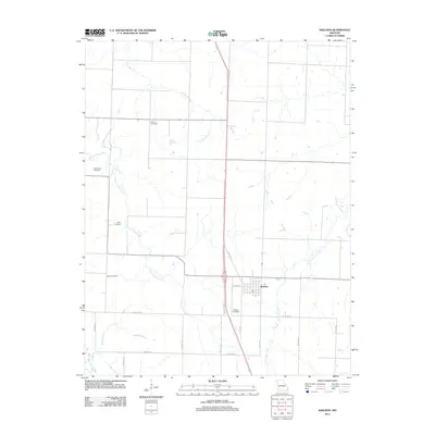 2011 Sheldon2011 Print · USGSSheldon and the surrounding Vernon County prairies appear here in the early twenty-first century, showing a landscape defined by agriculture and community heritage. Researchers can locate numerous local burial grounds including Bickett Cemetery, Avola Cemetery, and Sheldon Cemetery.
 - 2011 Map of Nashville, 2011 Print
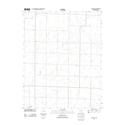 2011 Nashville2011 Print · USGSBarton County, Missouri, is captured in this modern survey as a land of straight roads and winding creeks. Genealogists and local researchers can trace the vicinity of Nashville and Duval, or locate family sites near Pierce Cemetery and the Little North Fork.
 - 2011 Map of Maple Grove, 2011 Print
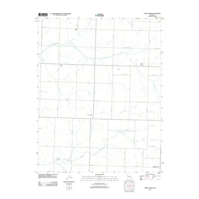 2011 Maple Grove2011 Print · USGSBarton County, Missouri is shown here in the early 2010s as a quiet patchwork of family farms and creek drainages. Genealogists can locate family names at Mitchell Cemetery or Pleasant View Cemetery, while tracing the paths of Coon Creek and Stony Branch.
 - 2011 Map of Dudenville, 2011 Print
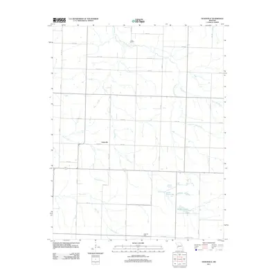 2011 Dudenville2011 Print · USGSDudenville and the surrounding Missouri countryside are captured in the early twenty-first century as agricultural life follows the local creek beds. Genealogists and local historians can locate Kistler Cemetery, Leaming Field, and the rural settlement of Dudenville.
 - 2011 Map of Kenoma, 2011 Print
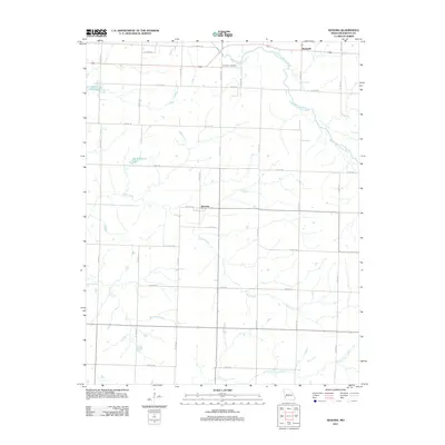 2011 Kenoma2011 Print · USGSBarton County at the start of the 2010s reveals a structured agricultural landscape shaped by its river systems and small communities. Researchers can trace local landmarks like Fair View Cemetery or follow the waters of the North Fork Spring River near Kenoma.
 - 2011 Map of Golden City, 2011 Print
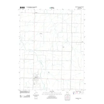 2011 Golden City2011 Print · USGSBarton County at the start of the 2010s reveals an organized agricultural grid surrounding the town of Golden City. Genealogists can locate several historic burial grounds like Edgar Cemetery and Worthen Cemetery near the banks of Kyle Creek.
 - 2011 Map of Lamar North, 2011 Print
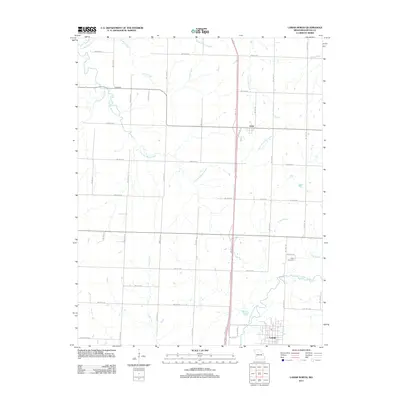 2011 Lamar North2011 Print · USGSBarton County at the start of the 2010s shows a classic Midwestern landscape of section-line roads and prairie streams. Genealogists and local historians can locate Nigh Cemetery and trace the settlements of Irwin and Fairbanks.
 - 2011 Map of Jasper, 2011 Print
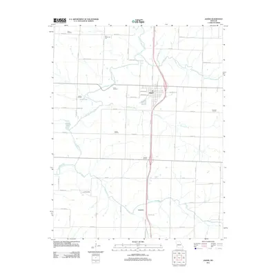 2011 Jasper2011 Print · USGSJasper and Carytown are shown here amidst a network of prairie rivers and family cemeteries in the early 2010s. Genealogists can locate legacy sites like Ruddick Cemetery and Paradise Cemetery or the historic Blue Community Hall.
 - 2011 Map of Liberal, 2011 Print
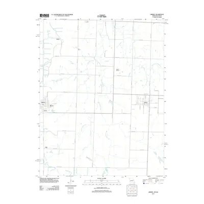 2011 Liberal2011 Print · USGSBarton County is shown just after the first decade of the new millennium as a mix of small town centers and expansive prairie. Researchers can trace family sites near Liberal, locate the Rosebank Cemetery near Burgess, or explore the boundaries of Prairie State Park.
 - 2012 Map of Garland, 2012 Print
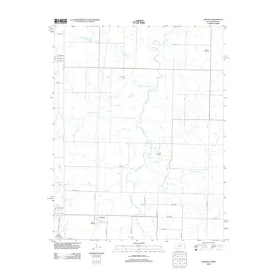 2012 Garland2012 Print · USGSThe Kansas-Missouri borderlands come into focus in the early 2010s, showing a landscape defined by meandering creeks and rural crossroads. Genealogists can trace several burial sites like McKill Chapel Cem and Gill Cem, or locate landmarks such as Blue Mound.
 - 2015 Map of Dudenville, 2015 Print
 2015 Dudenville2015 Print · USGSDudenville sits at the intersection of four Missouri counties in the mid-2010s, capturing a traditional agricultural landscape defined by its section-line roads. Researchers can locate Kistler Cemetery, the settlement of Maple Grove, and local water features like Poirot Farms Lake.
 - 2015 Map of Jasper, 2015 Print
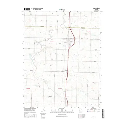 2015 Jasper2015 Print · USGSJasper and the northern reaches of the county are shown here in the mid-2010s, revealing a landscape of long-established family farms and rural cemeteries. Genealogists can locate several historic burial sites, including Stafford Cemetery, Ruddick Cemetery, and the settlement of Carytown.
 - 2015 Map of Neck City, 2015 Print
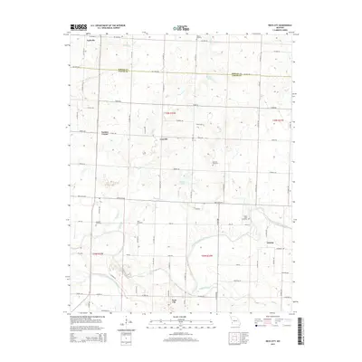 2015 Neck City2015 Print · USGSSouthwest Missouri's prairie and river breaks are documented here in the mid-2010s, showing the rural landscape around Nashville and Neck City. Researchers can trace local history through family-named sites like Shapley Cemetery and the settlement at Tuckers Corner.
Showing maps 1-25 of 62
Top cities of Barton County
- Lamar historical maps
- Golden City historical maps
- Liberal historical maps
- Mindenmines historical maps
- Nashville historical maps
- Newport historical maps
See more
Frequently asked questions
- What are the different types of historical maps available for Barton County?
- What is the oldest map of Barton County?
- Where can I purchase historical maps of Barton County for my home or office?
- Where can I download high-res historical maps of Barton County?
- Are there historical topographic maps available for Barton County?
- Is there historical aerial imagery available for Barton County?
- Where are historical maps of Barton County sourced from?