2020s Maps of Benton County, Missouri
Explore 25 historic maps of Benton County from the 2020s. These maps offer a rare glimpse into what life looked like during the 2020s — showing old roads, neighborhoods, homes, and landmarks that have changed or disappeared over time.
Whether you're researching your family's past, planning a metal detecting trip, or studying how Benton County's landscape evolved across the 2020s, these high-resolution maps are a powerful tool for exploring the history of this region.
- Focus on a specific era: All maps on this page are from the 2020s, giving you a focused view of this time period.
- See what’s changed: Compare century-old streets, trails, and buildings to today's modern landscape using overlays and satellite layers.
- Research with precision: Use these maps for genealogy, historical research, land use analysis, or educational projects.
- View, download, or print: Maps are fully viewable online in high resolution, and can be downloaded or printed for your own records.
Start exploring Benton County's history through authentic maps from the 2020s. This is your window into the past.
Benton County, MO maps
(25)- 2021 Map of Crockerville, 2021 Print
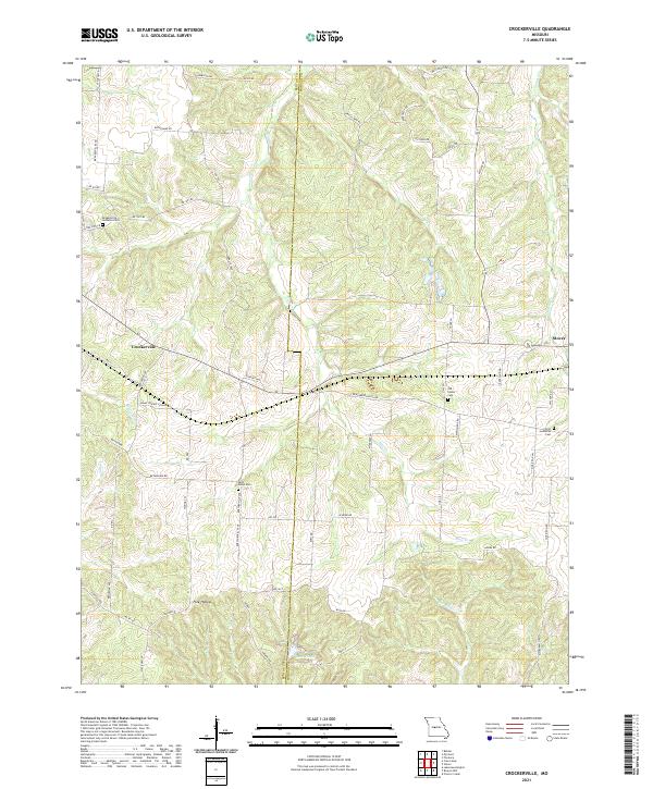 2021 Crockerville2021 Print · USGSThe borderlands of Benton and Morgan Counties are captured here as they appeared in the early 2020s. Researchers can locate several historical burial sites like Saint Johns Cem and Old Stover Cem near the headwaters of Haw Cr.
 - 2021 Map of Warsaw East, 2021 Print
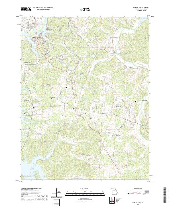 2021 Warsaw East2021 Print · USGSBenton County, Missouri, is shown here as the modern landscape of the Ozarks, where the great river impoundments meet. Local historians can trace family burial sites like Smith Cem and White Cem or locate the rural junctions of Dell Junction and Majorville.
 - 2021 Map of Iconium, 2021 Print
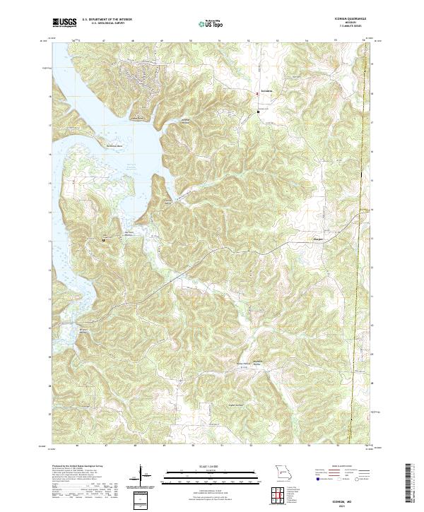 2021 Iconium2021 Print · USGSIconium and the St. Clair County hills are shown in detail as they sit along the eastern fingers of the Harry S Truman Reservoir. Researchers can locate family sites at Iconium Cem or trace the winding paths of Bear Cr and Hogles Cr.
 - 2021 Map of Ionia, 2021 Print
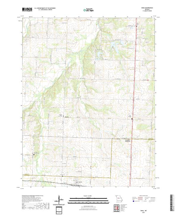 2021 Ionia2021 Print · USGSSpanning the Pettis and Benton County line in the modern era, this map documents a rural Missouri landscape defined by traditional farming and water resources. Genealogists and researchers can trace family landmarks like Point Pleasant Cemetery, the settlement of Manila, and Windsor Junction.
 - 2021 Map of Pyrmont, 2021 Print
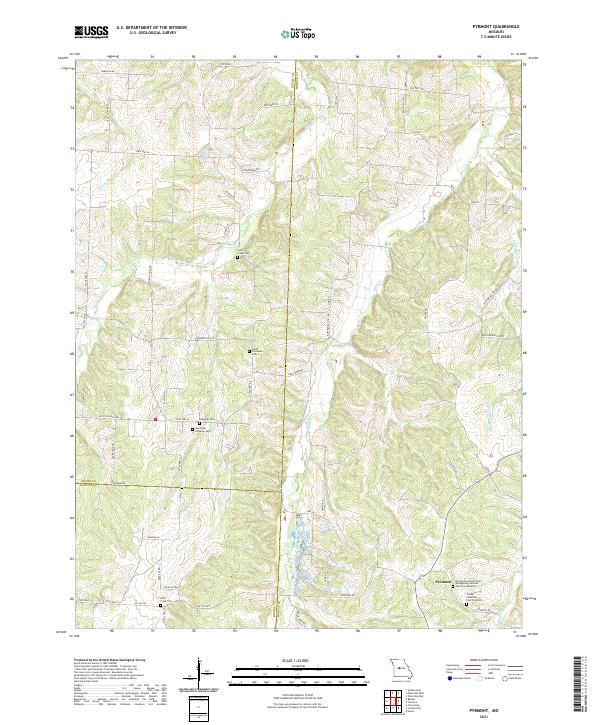 2021 Pyrmont2021 Print · USGSThe Missouri countryside where Pettis, Morgan, and Benton Counties converge is captured here in the early twenty-first century. Researchers can trace a legacy of local faith and family at the Pyrmont Lutheran Church or find the rural tracks of Butterfield Trl Rd.
 - 2021 Map of Knobby, 2021 Print
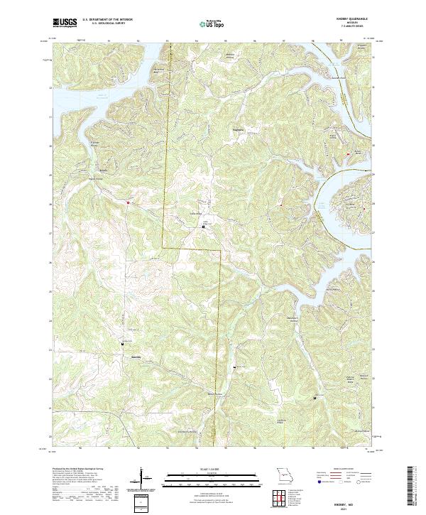 2021 Knobby2021 Print · USGSCamden and Benton Counties are documented here as the winding shoreline of the Lake of the Ozarks meets the rural Ozark hills. Genealogists can locate several local burial sites including Cable Ridge Cem and Dority Cem near the historic settlement of Knobby.
 - 2021 Map of Calhoun East, 2021 Print
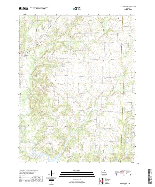 2021 Calhoun East2021 Print · USGSHenry County is captured here in the early twenty-first century, showing the rural landscape around Calhoun and Roseland. You can trace the path of the Katy Trl and follow the various tributaries like Barker Cr and Sand Cr as they flow toward the Harry S Truman Reservoir.
 - 2021 Map of Ninnescah Park, 2021 Print
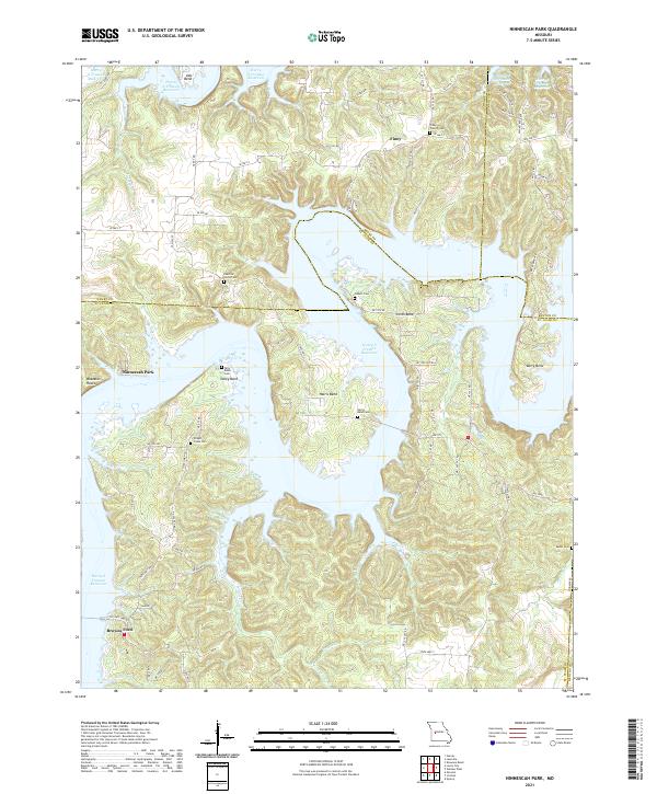 2021 Ninnescah Park2021 Print · USGSThe meeting point of Henry, Benton, and St. Clair counties is shown here in the early twenty-first century as the reservoir reshaped the valley. Genealogists can trace family landmarks like Wright Creek Cem and old community centers such as Finey or Browns Ford.
 - 2021 Map of Lakeview Heights, 2021 Print
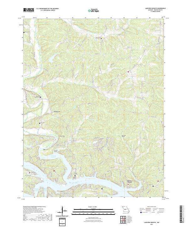 2021 Lakeview Heights2021 Print · USGSBenton County waterfront and rural uplands are shown in detail during the early 2020s as the landscape transitions from the shores of Lake of the Ozarks to high ridges. Researchers can locate numerous historic burial grounds such as Yeager Union Cem and Chehaski Cem near the winding Cole Camp Creek.
 - 2021 Map of Quincy, 2021 Print
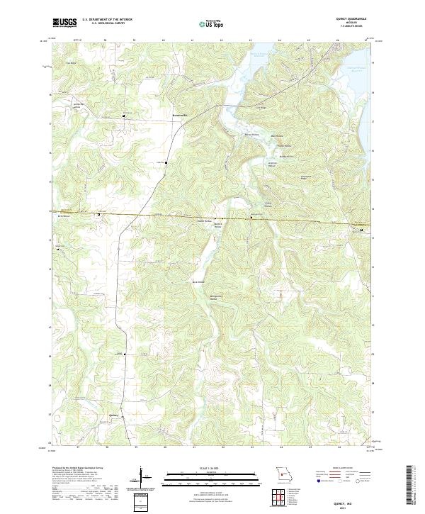 2021 Quincy2021 Print · USGSHickory and Benton Counties come into focus in the early 2020s, showing the rural communities near the upper reaches of the Harry S Truman Reservoir. Genealogists can locate several local burial grounds, including Shiloh Cem and Mount Zion Cem, situated near the Little Pomme de Terre River.
 - 2021 Map of Boylers Mill, 2021 Print
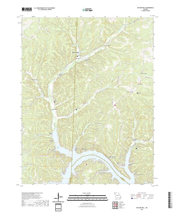 2021 Boylers Mill2021 Print · USGSThe northern reaches of the Lake of the Ozarks come into focus in this contemporary study of the Morgan and Benton County line. Local historians can trace family-named sites like Boylers Mill, Attners Bluffs, and Franklin Cem across a landscape of deep hollows.
 - 2021 Map of Warsaw West, 2021 Print
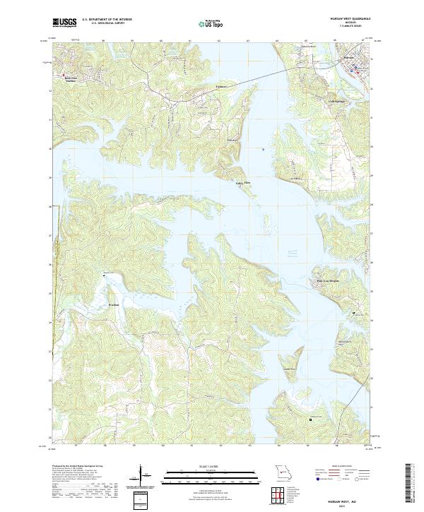 2021 Warsaw West2021 Print · USGSBenton County in the early 2020s shows a landscape defined by the expansive Harry S Truman Reservoir and the historic seat of Warsaw. Researchers can trace old family burial sites at Wisdom Cem and Crabtree Cem or locate the landmark Benton County Courthouse.
 - 2021 Map of Cole Camp, 2021 Print
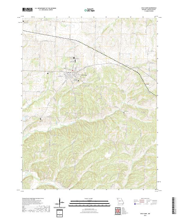 2021 Cole Camp2021 Print · USGSBenton County reveals a landscape of deep-rooted family history and rural settlements in the early 2020s. Genealogists can trace local lineages through a remarkable density of burial sites, from Cole Camp Memorial Cem to the Union - Williams Cem and Monsees Cem.
 - 2021 Map of Green Ridge South, 2021 Print
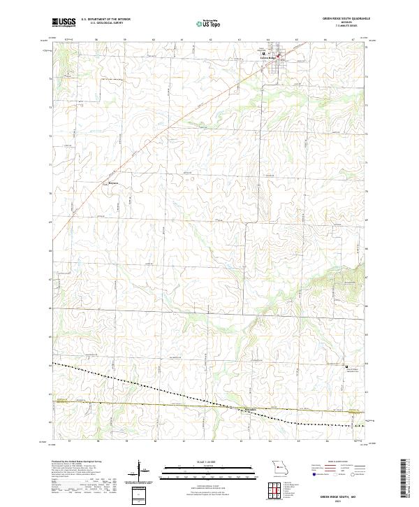 2021 Green Ridge South2021 Print · USGSSouthern Pettis County is mapped here during its recent era of agricultural stability and quiet rural life. Genealogists and historians can trace the vicinity of Green Ridge down to the Benton Co line, locating the Green Ridge Cem and the crossroads at Bryson.
 - 2021 Map of Shawnee Bend, 2021 Print
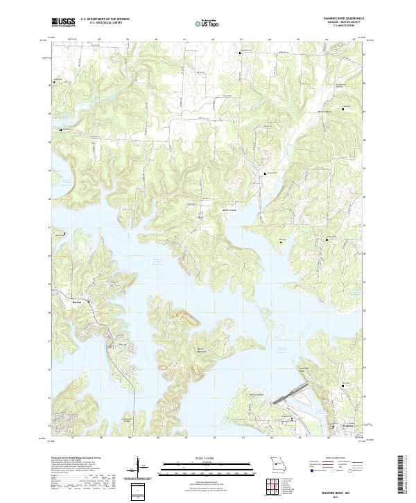 2021 Shawnee Bend2021 Print · USGSBenton County is shown at a time when the waters of the Harry S Truman Reservoir have reshaped the Missouri landscape. Researchers can trace family history through numerous burial sites like Baugh Cem and Poe Cem, or locate the crossing at Long Shoal Bridge.
 - 2021 Map of Bahner, 2021 Print
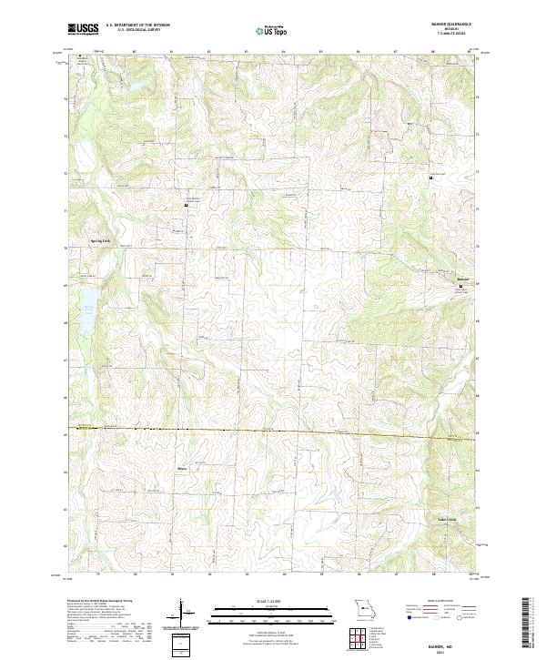 2021 Bahner2021 Print · USGSSpanning the Pettis and Benton county line in the early 2020s, this Missouri landscape is dotted with rural settlements and historic cemeteries. Researchers can trace family roots at Saint Patrick's Catholic Cem, Mora, and Lone Star Cem.
 - 2021 Map of Lincoln SE, 2021 Print
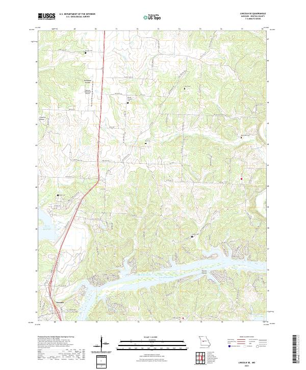 2021 Lincoln SE2021 Print · USGSBenton County at the start of the 2020s shows the winding shoreline of the Lake of the Ozarks and the northern edge of Warsaw. Genealogists and researchers can locate numerous historic burial sites, including Drake Cem, Feaster Cem, and Short Cem.
 - 2021 Map of Windsor, 2021 Print
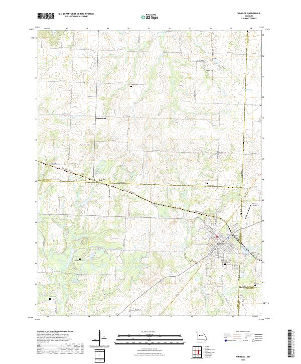 2021 Windsor2021 Print · USGSWindsor and its neighboring settlements in Henry and Pettis counties are shown here as they appeared in the early 2020s. Researchers can trace historical footprints along the Katy Trl and Rock Island Spur Trl or locate family sites at Laurel Oak Cem and Bowen.
 - 2021 Map of Cross Timbers, 2021 Print
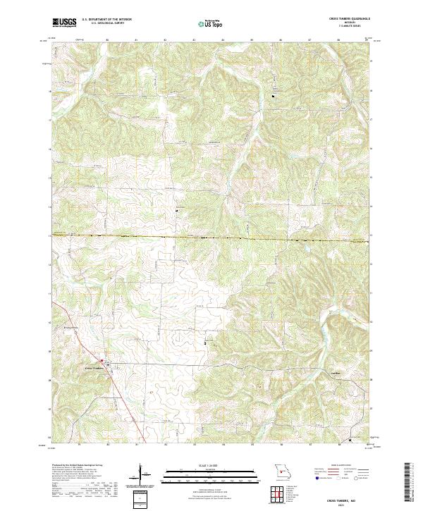 2021 Cross Timbers2021 Print · USGSThe northern edge of Hickory County comes into focus in this recent survey of the Missouri Ozarks foothills. Genealogists and local historians can trace family land near Cross Timbers and locate historic burial sites like Bethel Campground Cem and Guier Cem.
 - 2021 Map of Climax Springs, 2021 Print
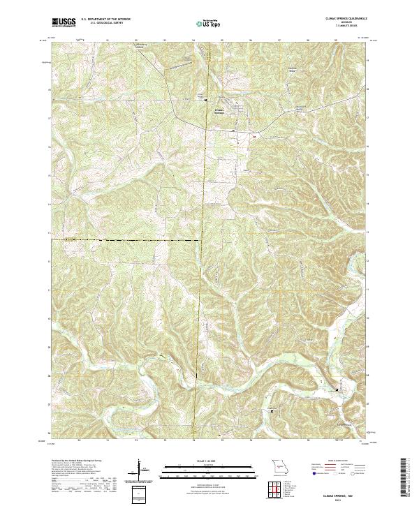 2021 Climax Springs2021 Print · USGSThe Tri-County area where Benton, Camden, and Hickory meet comes alive in this 2020s study of the Ozark plateau. Genealogists and local historians can trace the hills around Climax Springs and locate rural burial grounds like Creach Cem and Green Cem near the Little Niangua River.
 - 2021 Map of Lincoln, 2021 Print
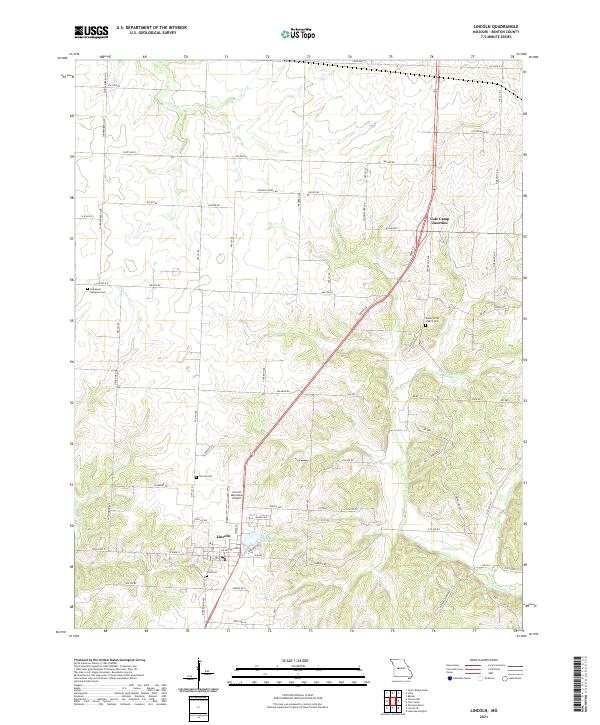 2021 Lincoln2021 Print · USGSBenton County's rural character is clearly preserved here in the early twenty-first century, centered on the community of Lincoln. Researchers can trace local heritage through several burial grounds, including Lincoln Cem, Zion Cem, and Mount Olivet Church Cem.
 - 2021 Map of Lincoln NW, 2021 Print
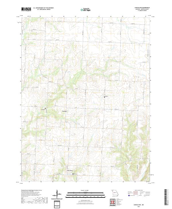 2021 Lincoln NW2021 Print · USGSBenton County remains a landscape of quiet crossroads and winding streams in this recent survey of rural Missouri. Local historians can trace the exact locations of McIntyre Chapel Cem, Santiago, and Palo Pinto along the banks of Clear Cr.
 - 2021 Map of Edwards, 2021 Print
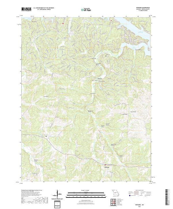 2021 Edwards2021 Print · USGSBenton County, Missouri, is shown here as the Ozark landscape meets the reaching fingers of the Lake of the Ozarks. Local researchers can trace family landmarks and rural sites like Hastain Cem, Belleview Cem, and Short School Hollow.
 - 2021 Map of Fristoe, 2021 Print
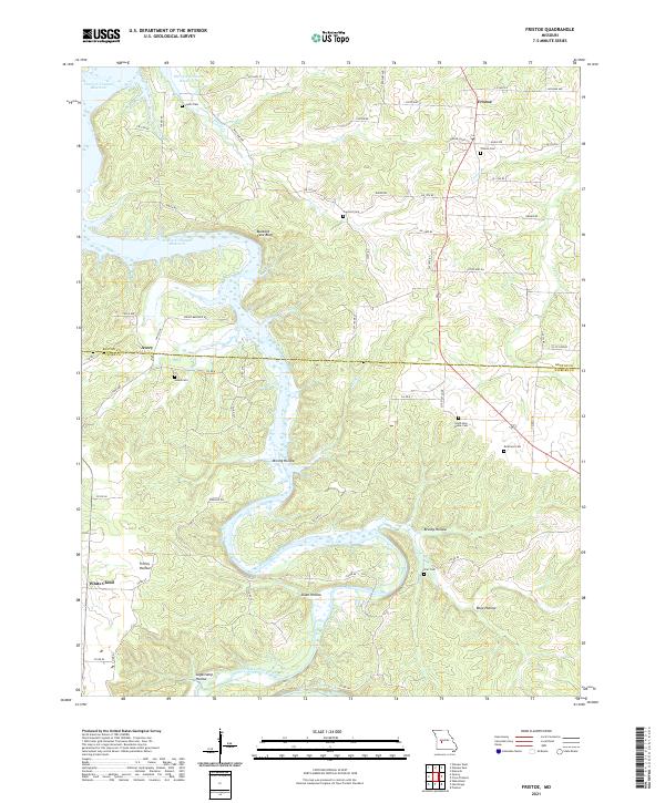 2021 Fristoe2021 Print · USGSHickory and Benton counties are captured here in the modern era as the waters of the Harry S Truman Reservoir fill the northern valleys. Local historians can trace family roots through numerous burial sites like South New Home Cem, Joplin Cem, and the old settlement at Fristoe.
 - 2021 Map of Leesville, 2021 Print
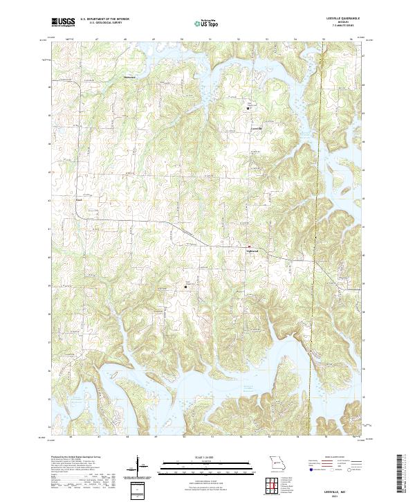 2021 Leesville2021 Print · USGSThe rural border of Henry and Benton counties is shown here as it appears today, dominated by the winding arms of the Harry S Truman Reservoir. Researchers can locate local landmarks like Tebo Church Cem and the small communities of Leesville and Tightwad.
End of results
Showing maps 1-25 of 25
Top cities of Benton County
Frequently asked questions
- What are the different types of historical maps available for Benton County?
- What is the oldest map of Benton County?
- Where can I purchase historical maps of Benton County for my home or office?
- Where can I download high-res historical maps of Benton County?
- Are there historical topographic maps available for Benton County?
- Is there historical aerial imagery available for Benton County?
- Where are historical maps of Benton County sourced from?