2020s Maps of Iron County, Missouri
Explore 18 historic maps of Iron County from the 2020s. These maps offer a rare glimpse into what life looked like during the 2020s — showing old roads, neighborhoods, homes, and landmarks that have changed or disappeared over time.
Whether you're researching your family's past, planning a metal detecting trip, or studying how Iron County's landscape evolved across the 2020s, these high-resolution maps are a powerful tool for exploring the history of this region.
- Focus on a specific era: All maps on this page are from the 2020s, giving you a focused view of this time period.
- See what’s changed: Compare century-old streets, trails, and buildings to today's modern landscape using overlays and satellite layers.
- Research with precision: Use these maps for genealogy, historical research, land use analysis, or educational projects.
- View, download, or print: Maps are fully viewable online in high resolution, and can be downloaded or printed for your own records.
Start exploring Iron County's history through authentic maps from the 2020s. This is your window into the past.
Iron County, MO maps
(18)- 2021 Map of Lake Killarney, 2021 Print
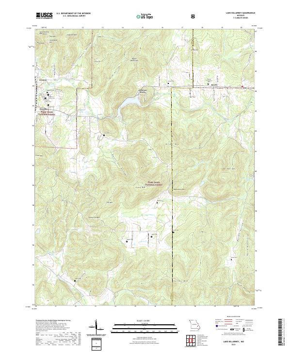 2021 Lake Killarney2021 Print · USGSThe Saint Francois Mountains of the Missouri Ozarks come alive on this recent survey of the Ironton and Arcadia area. Genealogists can trace family names across a dozen burial sites like Roselle Graniteview Cem and Sutton Cem, or locate landmarks such as Sunny Slope Spring and Wagon Wheel Gap.
 - 2021 Map of Glover, 2021 Print
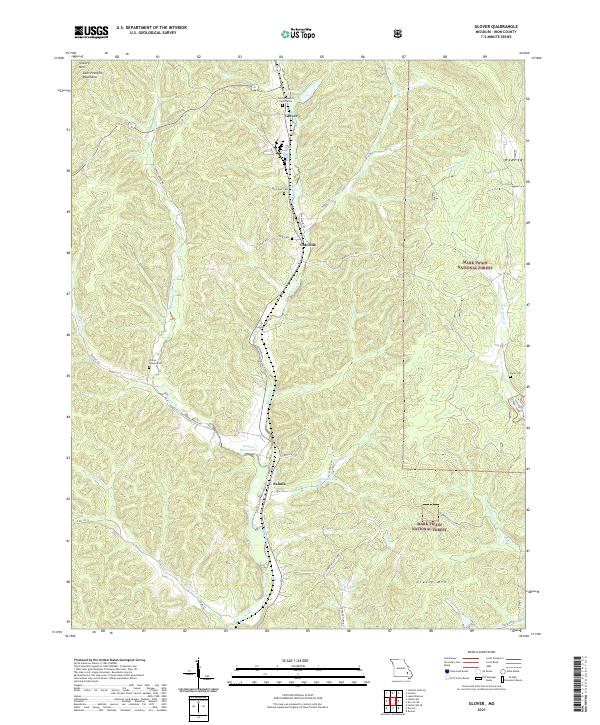 2021 Glover2021 Print · USGSThe southern Saint Francois Mountains come into focus in the early 2020s, showing the rugged valley settlements of Glover and Sabula. Genealogists can locate family burial sites at Big Creek Cem or Huff Cem and trace the winding course of Richland Creek.
 - 2021 Map of Johnson Shut-Ins, 2021 Print
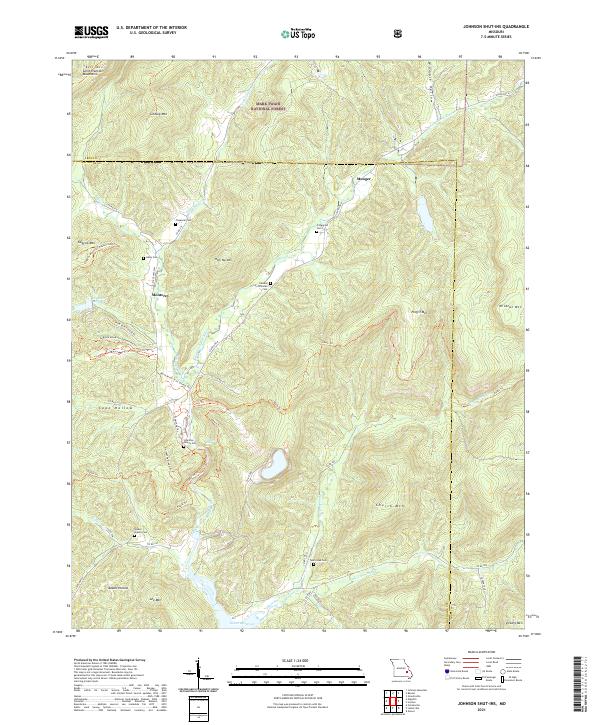 2021 Johnson Shut-Ins2021 Print · USGSThe Missouri Ozarks and the Saint Francois Mountains appear in detail in this modern survey of the Iron and Reynolds county line. Genealogists can trace family landmarks like the Edward Stricklan Cem, Walker Branch Cem, and the old settlement of Monterey.
 - 2021 Map of Edgehill, 2021 Print
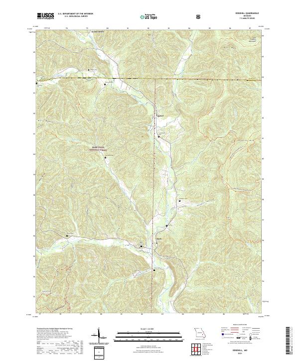 2021 Edgehill2021 Print · USGSThe Saint Francois Mountains near the Reynolds and Iron county line are shown in this 2021 study. Genealogists can trace family heritage at Black River Cem or Troutman Cem, while hikers can follow the path of the Ozark Trl.
 - 2021 Map of Graniteville, 2021 Print
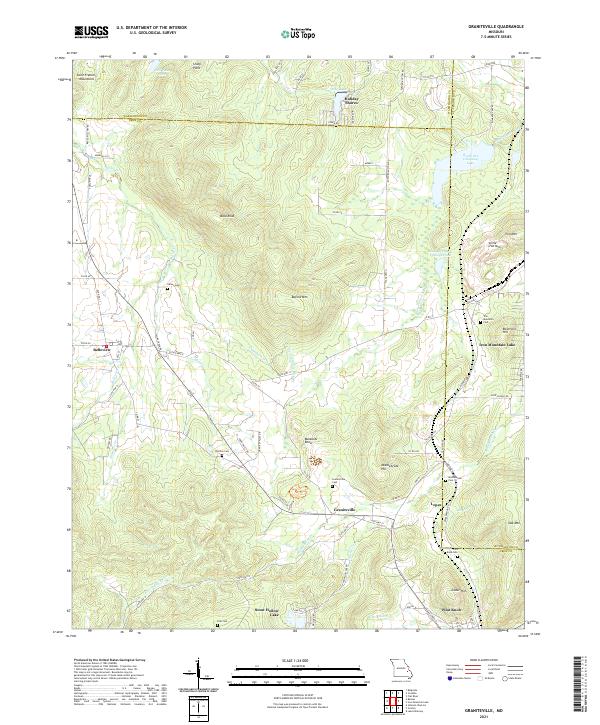 2021 Graniteville2021 Print · USGSThe mining and mountain heritage of Iron County is preserved here in the early twenty-first century. Researchers can trace family roots through numerous sites like Graniteville Cem, Middlebrook Cem, and the old residential lanes of Belleview.
 - 2021 Map of Des Arc NE, 2021 Print
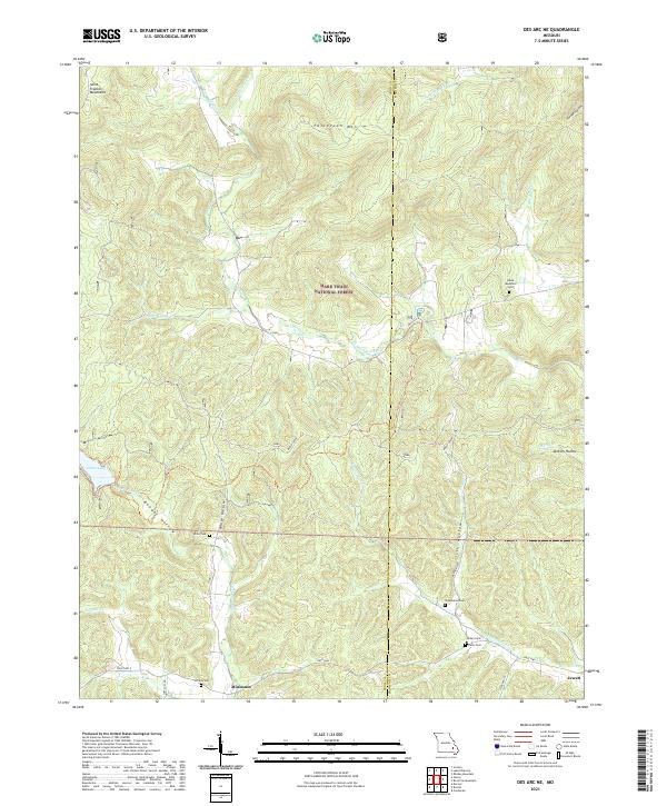 2021 Des Arc NE2021 Print · USGSIron and Madison Counties are captured here in the early 2020s, showcasing a landscape of high ridges and secluded hollows. Genealogists can locate several remote burying grounds like Kelley Cem and Davis Cem, while following the waters of Marble Creek.
 - 2021 Map of Greeley, 2021 Print
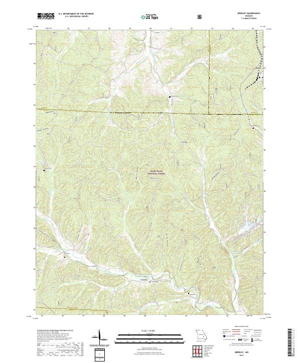 2021 Greeley2021 Print · USGSThe Reynolds and Dent County borderlands are shown here in the modern era, dominated by the Mark Twain National Forest. Genealogists can trace family names through numerous burial sites like Greeley Cem and Crossville Cem along the West Fork Black River.
 - 2021 Map of Lesterville SE, 2021 Print
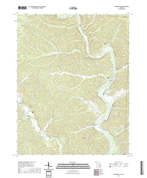 2021 Lesterville SE2021 Print · USGSReynolds County and Iron County meet along the Black River in this 2021 survey of the Missouri Ozarks. Researchers can trace family history through numerous burial sites like James Wesley Lewis Cem, Rutter Cem, and Skaggs Cem.
 - 2021 Map of Banner, 2021 Print
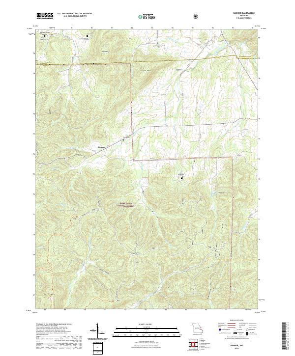 2021 Banner2021 Print · USGSThe Missouri Ozarks and the peaks of the Saint Francois Mountains appear here in the early twenty-first century. Researchers can locate remote family landmarks like Tullock Cem and Nelson Cem or trace the drainage of Shut-in Cr near Banner.
 - 2021 Map of Viburnum West, 2021 Print
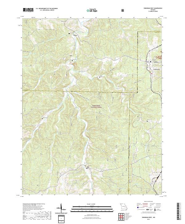 2021 Viburnum West2021 Print · USGSThe Ozark plateau comes into focus in the early 2020s where Dent, Crawford, and Iron counties meet within the Mark Twain National Forest. Local historians can trace family roots through numerous remote burial sites like Maple Grove Cem and Boss Cem or locate the small settlements of Dillard and Viburnum.
 - 2021 Map of Viburnum East, 2021 Print
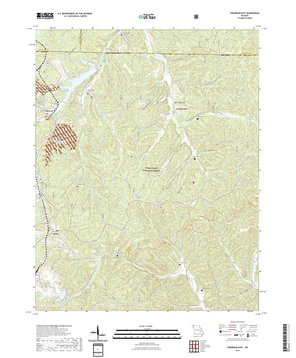 2021 Viburnum East2021 Print · USGSThe Missouri Lead Belt comes into focus during the early twenty-first century, centered on the mining hub of Viburnum. Genealogists can trace family roots through numerous burial sites like Pump Cem and Turner Cem or explore the rugged hollows of the Mark Twain National Forest.
 - 2021 Map of Oates, 2021 Print
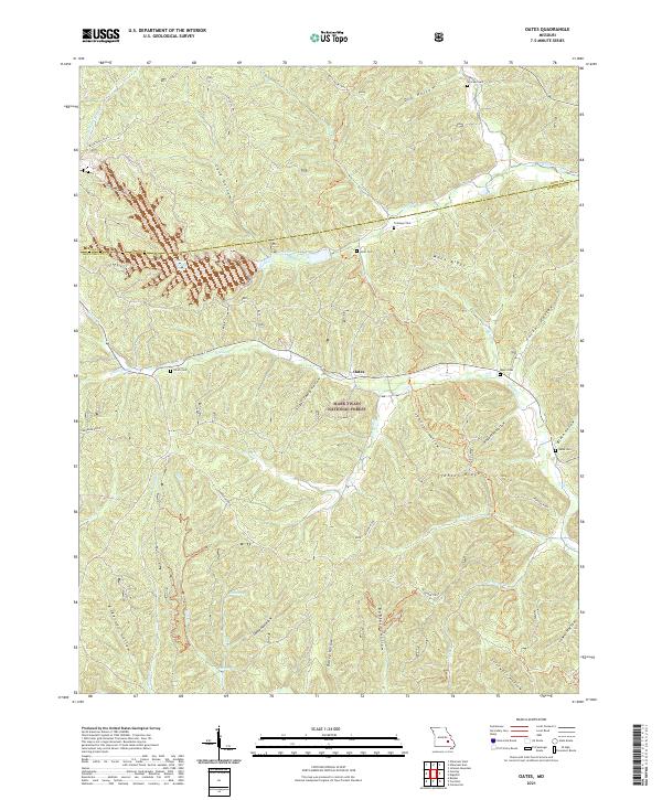 2021 Oates2021 Print · USGSThe community of Oates and the deep hollows of the Ozarks are detailed here during the early twenty-first century. Genealogists can locate several family burial grounds, including Trolinger Cem and Webb Cem, while outdoorsmen can trace Karkagne Drive.
 - 2021 Map of Johnson Mountain, 2021 Print
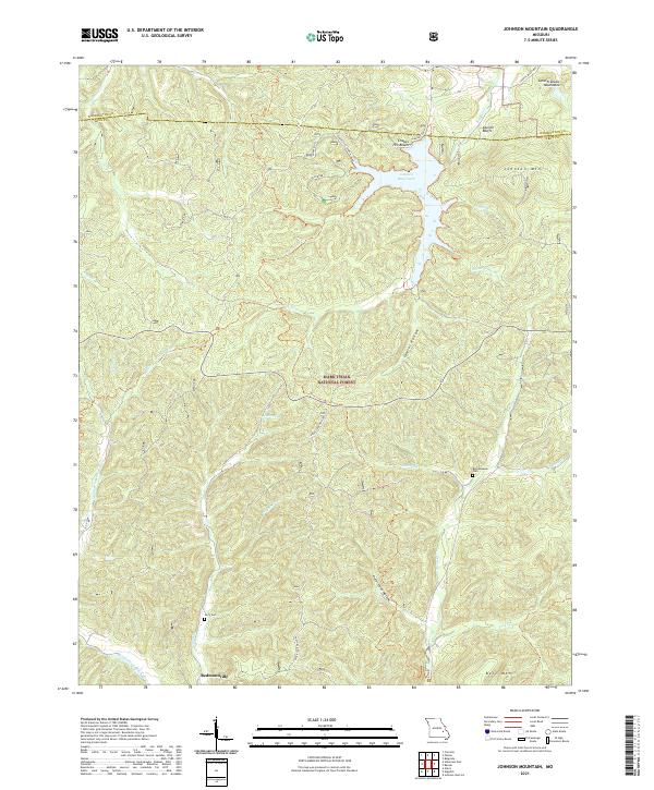 2021 Johnson Mountain2021 Print · USGSThe Missouri Ozarks are shown here in the early twenty-first century as the forest and river systems of the Saint Francois Mountains. Genealogists and hikers can locate Redmondville, the Terry Cem, and the prominent Council Bluff Lake.
 - 2021 Map of Des Arc, 2021 Print
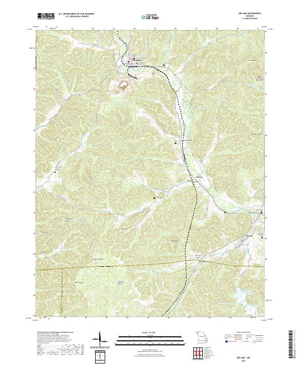 2021 Des Arc2021 Print · USGSThe northern edge of the Ozark foothills comes to life here in the early 2020s, centered on the historic communities of Annapolis and Des Arc. Researchers can trace family history through local landmarks like Slabtown Valley, Sutton Cem, and the many hollows branching off Big Creek.
 - 2021 Map of Ironton, 2021 Print
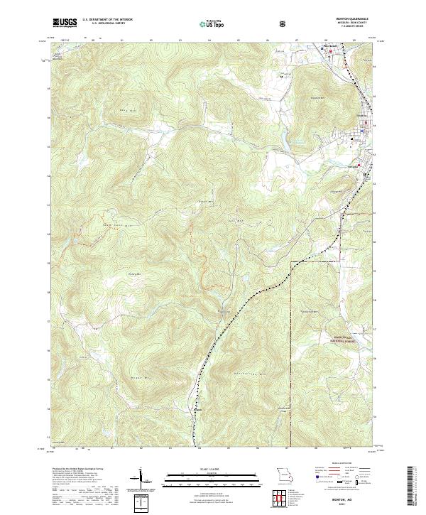 2021 Ironton2021 Print · USGSIron County’s high peaks and historic valley towns are captured here in the early twenty-first century. Genealogists and hikers can trace the Ozark Trl through Royal Gorge or locate Schwab Cem and the Iron County Courthouse in Ironton.
 - 2021 Map of Lesterville, 2021 Print
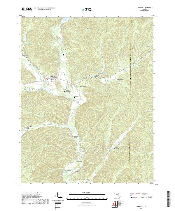 2021 Lesterville2021 Print · USGSThe Reynolds County backcountry at the edge of the Iron County line comes into focus in this recent survey of Lesterville. Researchers can trace old family burial grounds like Dobbins Cem and Hyatts Creek Cem or locate landmarks like Warner Bay Spring.
 - 2021 Map of Iron Mountain Lake, 2021 Print
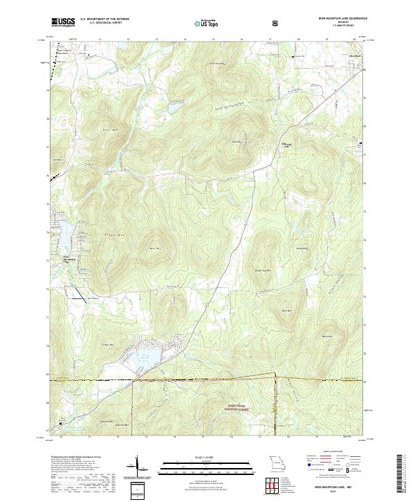 2021 Iron Mountain Lake2021 Print · USGSThe eastern Saint Francois Mountains come into focus in this recent survey of the Missouri Ozarks. Genealogists and historians can locate German Cem, Mineral City, and the residential layout of Iron Mountain Lake alongside peaks like Bread Tray Mtn.
 - 2021 Map of Brunot, 2021 Print
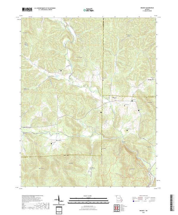 2021 Brunot2021 Print · USGSThe Missouri Ozarks are showcased at the meeting point of Iron, Madison, and Wayne counties in the early 2020s. Genealogists can locate several small family burial sites like Lucy Cem and Nichols Cem tucked between Des Arc Mtn and Big Creek.
End of results
Showing maps 1-18 of 18
Top cities of Iron County
- Ironton historical maps
- Viburnum historical maps
- Pilot Knob historical maps
- Arcadia historical maps
- Annapolis historical maps
- Des Arc historical maps
Frequently asked questions
- What are the different types of historical maps available for Iron County?
- What is the oldest map of Iron County?
- Where can I purchase historical maps of Iron County for my home or office?
- Where can I download high-res historical maps of Iron County?
- Are there historical topographic maps available for Iron County?
- Is there historical aerial imagery available for Iron County?
- Where are historical maps of Iron County sourced from?