2010s Maps of Iron County, Missouri
Explore 54 historic maps of Iron County from the 2010s. These maps offer a rare glimpse into what life looked like during the 2010s — showing old roads, neighborhoods, homes, and landmarks that have changed or disappeared over time.
Whether you're researching your family's past, planning a metal detecting trip, or studying how Iron County's landscape evolved across the 2010s, these high-resolution maps are a powerful tool for exploring the history of this region.
- Focus on a specific era: All maps on this page are from the 2010s, giving you a focused view of this time period.
- See what’s changed: Compare century-old streets, trails, and buildings to today's modern landscape using overlays and satellite layers.
- Research with precision: Use these maps for genealogy, historical research, land use analysis, or educational projects.
- View, download, or print: Maps are fully viewable online in high resolution, and can be downloaded or printed for your own records.
Start exploring Iron County's history through authentic maps from the 2010s. This is your window into the past.
Iron County, MO maps
(54)- 2011 Map of Ironton, 2011 Print
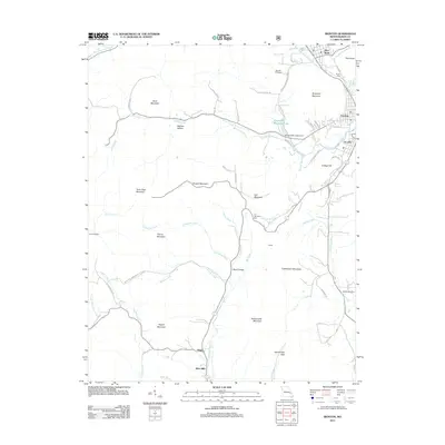 2011 Ironton2011 Print · USGSThe Missouri Ozarks are showcased here in the early twenty-first century, centered on the valley towns of Ironton and Arcadia. Genealogists and hikers can trace landmarks like Schwab Cemetery, the high peaks of Taum Sauk Mountain State Park, and the old settlement at Hogan.
 - 2011 Map of Lake Killarney, 2011 Print
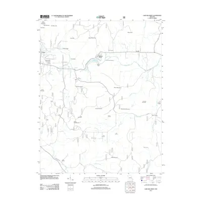 2011 Lake Killarney2011 Print · USGSThe Missouri Ozarks are captured here during a time of rural stability and local growth. Researchers can find numerous family burial grounds including Rebel Cemetery and Blanton Cemetery, or trace the waters of Stouts Creek past the community of Roselle.
 - 2011 Map of Iron Mountain Lake, 2011 Print
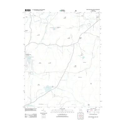 2011 Iron Mountain Lake2011 Print · USGSSaint Francois County enters the new millennium with its industrial roots and upland topography clearly mapped. Genealogists and local historians can trace family ties through German Cemetery, the streets of Mineral City, and the Pilot Knob Pellet Company Lake Number 2.
 - 2011 Map of Lesterville SE, 2011 Print
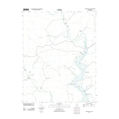 2011 Lesterville SE2011 Print · USGSIron County's river-cut hills are documented here in the early 2000s, showing a landscape defined by the Black River and its many tributaries. Genealogists and local historians can locate several family burial grounds, including Mann Cemetery, Hampton Cemetery, and Murphy Cemetery.
 - 2011 Map of Lesterville, 2011 Print
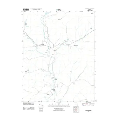 2011 Lesterville2011 Print · USGSLesterville and the forks of the Black River are captured here in 2011, showing the convergence of river culture and rugged Ozark topography. Genealogists and local historians can locate remote family landmarks like Dobbins Cemetery, Scudder Camp, and the settlement of Smithboro.
 - 2011 Map of Johnson Mountain, 2011 Print
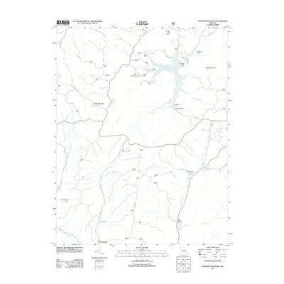 2011 Johnson Mountain2011 Print · USGSIron County’s wooded hills and water systems are documented in the early twenty-first century, centered on the Council Bluff Lake reservoir. Genealogists and local historians can trace the locations of Maxwells Mill, Redmondville, and the Rencehausen Cemetery.
 - 2011 Map of Banner, 2011 Print
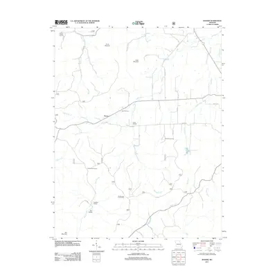 2011 Banner2011 Print · USGSIron County’s wooded ridges and rural crossroads come into focus during the early twenty-first century. Genealogists and local historians can trace family ties through several burial sites including Thomas Chapel and Nelson Cemetery, or locate the Bell Mountain Lookout Tower.
 - 2011 Map of Graniteville, 2011 Print
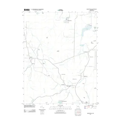 2011 Graniteville2011 Print · USGSThe Missouri Ozarks are captured here during a period of transition between its deep industrial roots and modern recreation. Researchers can trace family history through the Edison Cemetery or examine the mining legacy at Iron Mountain and Graniteville.
 - 2011 Map of Brunot, 2011 Print
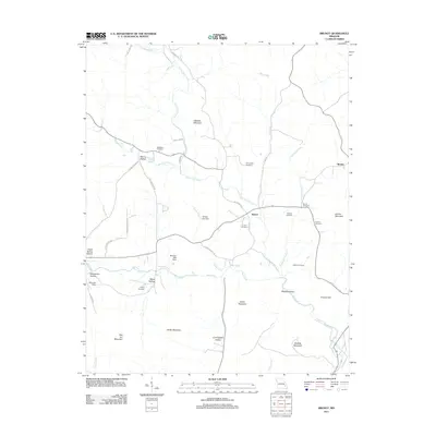 2011 Brunot2011 Print · USGSThe rural Ozark settlements of Brunot and Beulah are shown here as they appeared in the early 21st century. Genealogists can trace family footprints through numerous burial sites like Lucy Cemetery and roads such as Dave Deboard Rd.
 - 2011 Map of Des Arc NE, 2011 Print
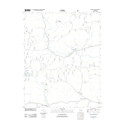 2011 Des Arc NE2011 Print · USGSMadison County at the turn of the decade is a landscape of high ridges and deep family history. Genealogists can trace local roots through several burial sites like Davis Cemetery and Kelley Cemetery near the settlement of Jewett.
 - 2011 Map of Des Arc, 2011 Print
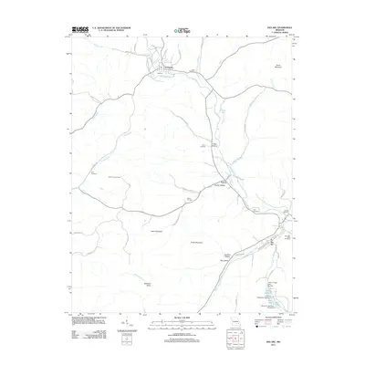 2011 Des Arc2011 Print · USGSIron County's rural communities and valley settlements are captured here in the early twenty-first century. Researchers can locate family burial grounds like Ruble Cemetery and trace land features from Slabtown Valley to the Vulcan Lookout Tower.
 - 2011 Map of Johnson Shut-Ins, 2011 Print
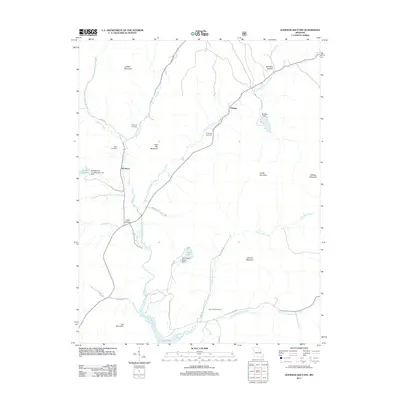 2011 Johnson Shut-Ins2011 Print · USGSThe Reynolds County highlands are documented here in the early twenty-first century, showcasing the intersection of state park lands and major hydroelectric infrastructure. Researchers can locate family burial sites like Taum Sauk Cemetery and Fitzgerald Cemetery or trace the settlements of Monterey and Munger.
 - 2011 Map of Glover, 2011 Print
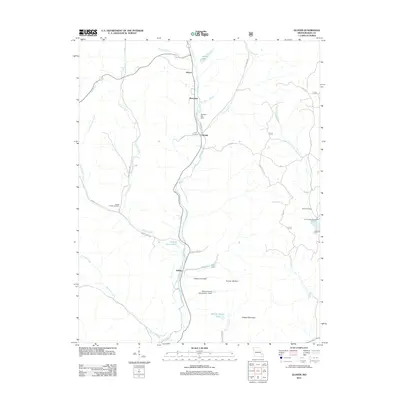 2011 Glover2011 Print · USGSIron County settlements and family burial grounds are well-documented in this early twenty-first-century survey of the Big Creek valley. Trace local roots and landmarks such as Huff Cemetery, Sabula, and the swimming or fishing spot at Blue Hole.
 - 2011 Map of Oates, 2011 Print
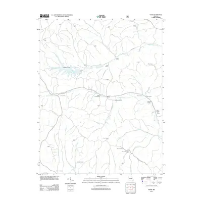 2011 Oates2011 Print · USGSThe rural hills of Reynolds County are seen here in the early 21st century, centered on the settlement of Oates. Researchers can trace old family burial grounds like Trolinger Cemetery and Webb Cemetery or the industrial scale of the Amax Tailing Pond.
 - 2011 Map of Viburnum West, 2011 Print
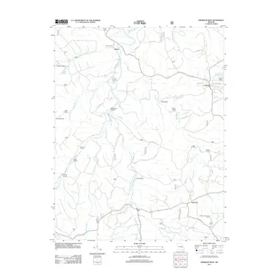 2011 Viburnum West2011 Print · USGSThe northern edge of the Missouri lead belt is captured here in the early twenty-first century, centered on the mining town of Viburnum. Researchers can trace local lineage through several rural burial grounds like Richards Cemetery and explore industrial sites such as the Moloc Smelter.
 - 2011 Map of Viburnum East, 2011 Print
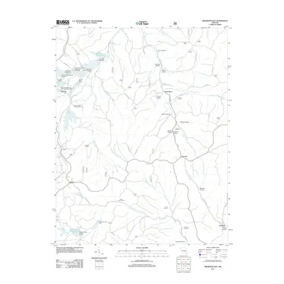 2011 Viburnum East2011 Print · USGSThe Missouri lead belt is revealed in this early twenty-first-century survey, showcasing a landscape shaped by mining and rural settlement. Genealogists and historians can trace family locations through Abbott Cemetery, Turner Cemetery, and the small community of Bixby.
 - 2012 Map of Greeley, 2012 Print
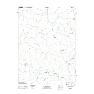 2012 Greeley2012 Print · USGSReynolds County in the early 2010s shows a landscape where industrial mining infrastructure meets quiet Ozark settlements. Genealogists and hikers can trace old family sites like Camden Cemetery or follow the paths of Henpeck Creek and Bills Creek.
 - 2012 Map of Edgehill, 2012 Print
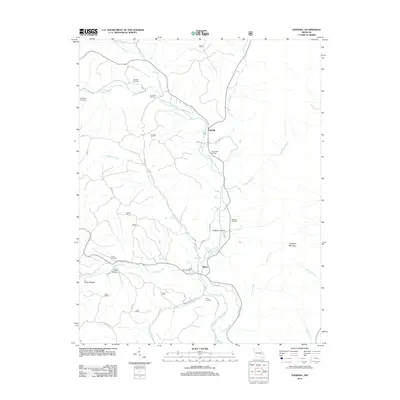 2012 Edgehill2012 Print · USGSThe Middle Fork Black River valley in the early 2010s reveals a quiet landscape of small settlements and family burial grounds. Genealogists and local historians can trace the heritage of the region through sites like Black River Cemetery, Edgehill, and Goggins Mountain.
 - 2015 Map of Viburnum West, 2015 Print
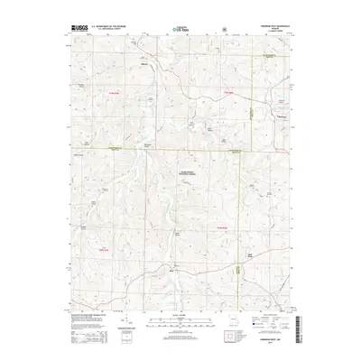 2015 Viburnum West2015 Print · USGSThe tri-county borderlands of Iron, Crawford, and Dent counties are shown here as they appeared in 2015, dominated by the timbered ridges of the Ozarks. Researchers can trace family roots through several remote burial grounds, including Boss Cemetery and Dillard Cemetery, or follow the forks of Huzzah Creek.
 - 2015 Map of Oates, 2015 Print
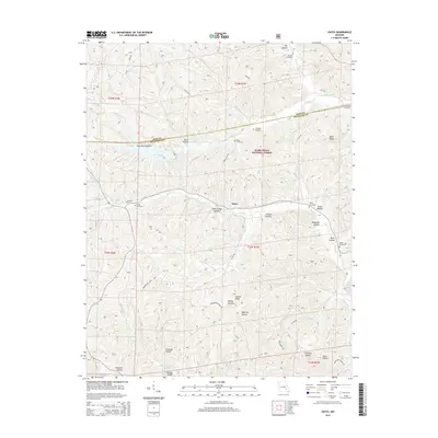 2015 Oates2015 Print · USGSNear the Iron and Reynolds County line during the mid-2010s, this area of the Ozarks shows a landscape of deep hollows and national forest timber. Researchers can locate numerous family burial sites such as Asher Cemetery and Smith Cemetery along the winding Karkaghne Scenic Dr.
 - 2015 Map of Greeley, 2015 Print
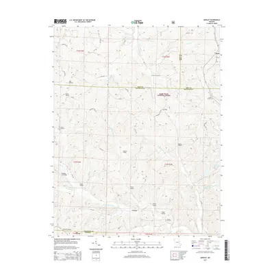 2015 Greeley2015 Print · USGSThe rural borderlands of Dent and Reynolds counties come into focus in the mid-2010s, showing a landscape shaped by forest management and lead mining. Researchers can locate the Brushy Cr Mine, trace the W Fork Black River, and find family sites like Barton Cemetery.
 - 2015 Map of Viburnum East, 2015 Print
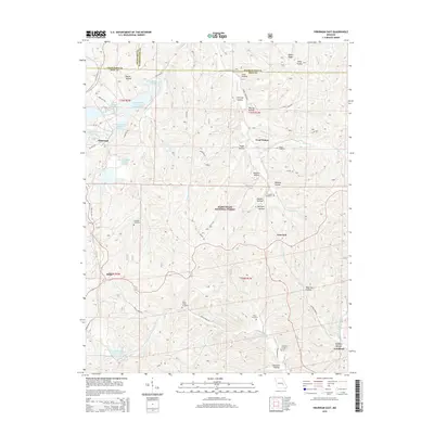 2015 Viburnum East2015 Print · USGSThe Viburnum mining district and Mark Twain National Forest meet in this recent survey of Iron County. Genealogists and historians can locate rural cemeteries such as Turner Cemetery and Neals Creek Cemetery or trace the industrial footprint of the Old Viburnum Tailings Pond.
 - 2015 Map of Edgehill, 2015 Print
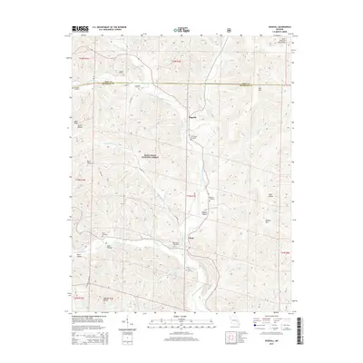 2015 Edgehill2015 Print · USGSThe Saint Francois Mountains of Reynolds County are shown here in the mid-2010s, centered on the Middle Fork Black River valley. Genealogists can trace family heritage through numerous burial grounds like Goggins Cemetery, Black River Cemetery, and Troutman Cemetery.
 - 2015 Map of Iron Mountain Lake, 2015 Print
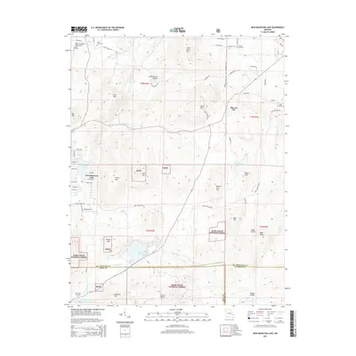 2015 Iron Mountain Lake2015 Print · USGSIn the Missouri Ozarks during the mid-2010s, this area maintains its rural character along the winding Saint Francis River. Genealogists and local historians can locate the community of Mineral City and trace the modern road network across the county landscape.
 - 2015 Map of Glover, 2015 Print
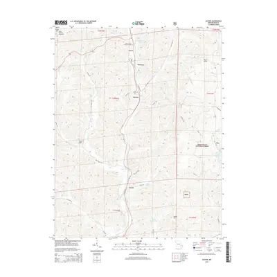 2015 Glover2015 Print · USGSIron County, Missouri, is captured here in the mid-2010s, showing the small settlements and mountain terrain of the Ozarks. Genealogists can locate family landmarks such as the Huff Cemetery and Hurst Cemetery or trace the early paths of Renault Rd and Sabula Rd.
Showing maps 1-25 of 54
Top cities of Iron County
- Ironton historical maps
- Viburnum historical maps
- Pilot Knob historical maps
- Arcadia historical maps
- Annapolis historical maps
- Des Arc historical maps
Frequently asked questions
- What are the different types of historical maps available for Iron County?
- What is the oldest map of Iron County?
- Where can I purchase historical maps of Iron County for my home or office?
- Where can I download high-res historical maps of Iron County?
- Are there historical topographic maps available for Iron County?
- Is there historical aerial imagery available for Iron County?
- Where are historical maps of Iron County sourced from?