2000s (21st Century) Maps of Phelps County, Missouri
Explore 101 historic maps of Phelps County from the 2000s (21st Century). These maps offer a rare glimpse into what life looked like during the 2000s — showing old roads, neighborhoods, homes, and landmarks that have changed or disappeared over time.
Whether you're researching your family's past, planning a metal detecting trip, or studying how Phelps County's landscape evolved across the 2000s, these high-resolution maps are a powerful tool for exploring the history of this region.
- Focus on a specific era: All maps on this page are from the 2000s, giving you a focused view of this time period.
- See what’s changed: Compare century-old streets, trails, and buildings to today's modern landscape using overlays and satellite layers.
- Research with precision: Use these maps for genealogy, historical research, land use analysis, or educational projects.
- View, download, or print: Maps are fully viewable online in high resolution, and can be downloaded or printed for your own records.
Start exploring Phelps County's history through authentic maps from the 2000s. This is your window into the past.
Phelps County, MO maps
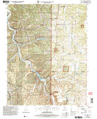
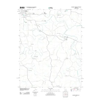
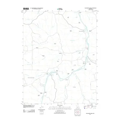
(101)- 2004 Map of Newburg, 2006 Print
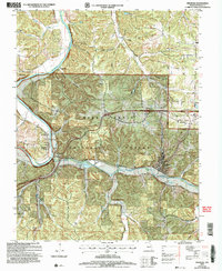 2004 Newburg2006 Print · USGSThe rail-and-river corridor of Phelps County is captured here at the start of the 21st century. Researchers can trace family sites like Ramsey Cem or explore the riverfront history of Jerome and the railroad hub of Newburg.
 - 2004 Map of Dixon, 2006 Print
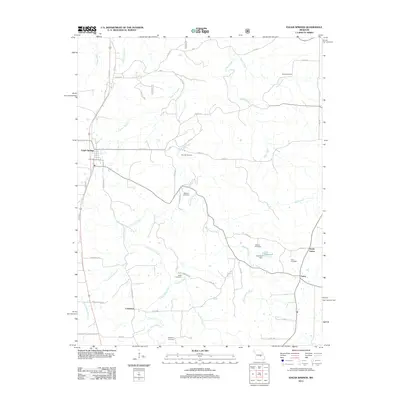
 2004 Dixon2006 Print · USGSThe town of Dixon and the sharp bends of the Gasconade River define this Pulaski County landscape in the early 2000s. Researchers can locate several historical sites, including Gaddy Sch (Site), Goodall Cem, and Portuguese Point along the river cliffs.
 - 2004 Map of Beulah, 2006 Print
 2004 Beulah2006 Print · USGSThe Big Piney River valley and the Mark Twain National Forest define this part of the Ozarks in the early 2000s. Genealogists and local historians can locate several family cemeteries and former school sites like Beulah Cem, Walnut Ridge Sch, and the George O White State Forest Nursery.
 - 2004 Map of Rolla, 2006 Print
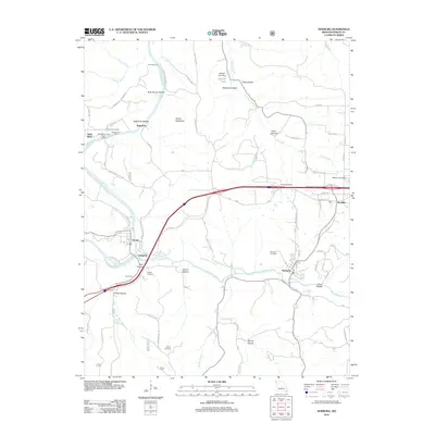
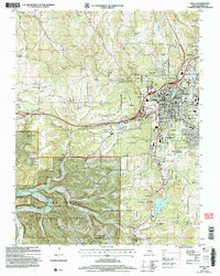 2004 Rolla2006 Print · USGSMid-Missouri's landscape near the turn of the millennium shows the expansion of ROLLA alongside the iconic Historic Route 66. Researchers can trace rural family lineages through numerous local burial sites like Strawhun Cem and explore the rugged geology surrounding Little Beaver Cave.
 - 2004 Map of Big Piney, 2006 Print
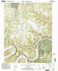
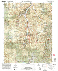
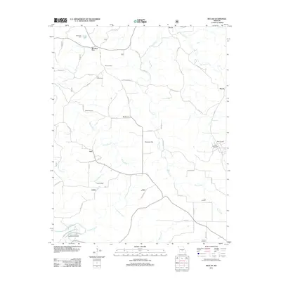
 2004 Big Piney2006 Print · USGSThe Big Piney River valley in the early 2000s reveals a unique landscape where the Mark Twain National Forest meets the Fort Leonard Wood Military Reservation. Researchers can trace family sites like Ramsey Cemetery and the Democrat School (Site) near the Big Piney River.
 - 2004 Map of Yancy Mills, 2006 Print
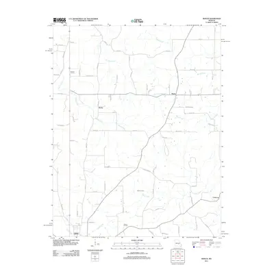
 2004 Yancy Mills2006 Print · USGSThe Ozark highlands near the Phelps and Dent County line are captured here as they appeared in the early 2000s. Researchers can locate family landmarks such as the Brookshire Cem, Grayson Sch, and the site of the Moselle Mine.
 - 2004 Map of Kaintuck Hollow, 2006 Print
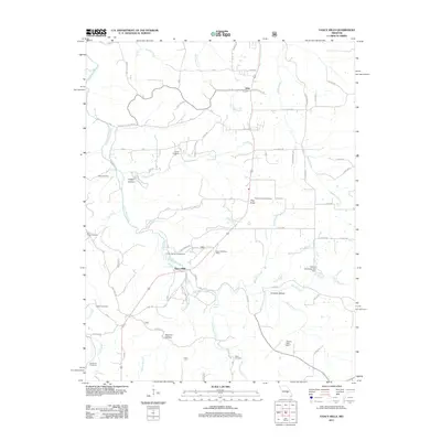
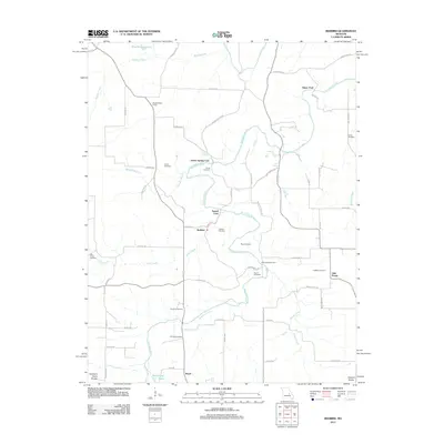
 2004 Kaintuck Hollow2006 Print · USGSPhelps County was characterized by its forest-bound communities and karst geology in the early 2000s. Researchers can locate several historic school sites and country churches, such as the Western Star Sch (Site) and Kaintuck Ch.
 - 2004 Map of Slabtown Spring, 2006 Print
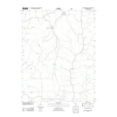
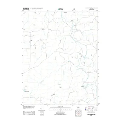
 2004 Slabtown Spring2006 Print · USGSThe Missouri Ozarks are captured here at the dawn of the new millennium, showcasing a landscape of dense forests and river hollows. Researchers can locate the Omalley Cem, trace the waters of Slabtown Spring, or explore the limits of the Paddy Creek Wilderness.
 - 2004 Map of Devils Elbow, 2006 Print
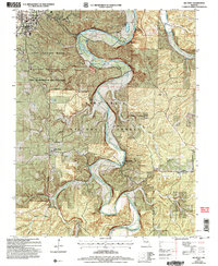
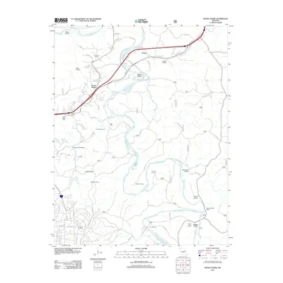
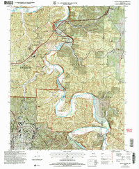 2004 Devils Elbow2006 Print · USGSThe Ozark river country of Pulaski County is captured here at the start of the millennium, showing the interplay between forest land and military expansion. You can locate old family cemeteries like Spaulding Cem and trace the former siding stops at Wern Siding and Lee Siding.
 - 2011 Map of Seaton, 2011 Print
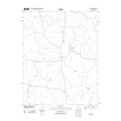 2011 Seaton2011 Print · USGSCovers Phelps County, including Clinton, Winkler, and other nearby areas
 - 2011 Map of Maples, 2011 Print
 2011 Maples2011 Print · USGSCovers Phelps County, including Licking, Coulstone, and other nearby areas
 - 2011 Map of Yancy Mills, 2011 Print
 2011 Yancy Mills2011 Print · USGSCovers Phelps County, including Yancy Mills, Vida, and other nearby areas
 - 2011 Map of Kaintuck Hollow, 2011 Print
 2011 Kaintuck Hollow2011 Print · USGSCovers Phelps County, including United States, Missouri, and other nearby areas
 - 2011 Map of Beulah, 2011 Print
 2011 Beulah2011 Print · USGSCovers Phelps County, including Sherrill, Licking, and other nearby areas
 - 2012 Map of Big Piney, 2012 Print
 2012 Big Piney2012 Print · USGSCovers Phelps County, including Big Piney, Duke, and other nearby areas
 - 2012 Map of Devils Elbow, 2012 Print
 2012 Devils Elbow2012 Print · USGSCovers Phelps County, including Saint Robert, Devils Elbow, and other nearby areas
 - 2012 Map of Slabtown Spring, 2012 Print
 2012 Slabtown Spring2012 Print · USGSCovers Phelps County, including Hazleton, Edanville, and other nearby areas
 - 2012 Map of Lecoma, 2012 Print
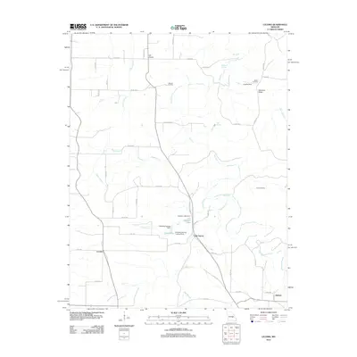 2012 Lecoma2012 Print · USGSCovers Phelps County, including Lake Spring, Hobson, and other nearby areas
 - 2012 Map of Flat, 2012 Print
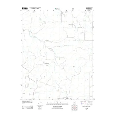 2012 Flat2012 Print · USGSCovers Phelps County, including Edgar Springs, Flat, and other nearby areas
 - 2012 Map of Maramec Spring, 2012 Print
 2012 Maramec Spring2012 Print · USGSCovers Phelps County, including St. James, Boys Town of Missouri, and other nearby areas
 - 2012 Map of Edgar Springs, 2012 Print
 2012 Edgar Springs2012 Print · USGSCovers Phelps County, including Edgar Springs, North Lenox, and other nearby areas
 - 2012 Map of Newburg, 2012 Print
 2012 Newburg2012 Print · USGSCovers Phelps County, including Doolittle, Newburg, and other nearby areas
 - 2012 Map of Redbird, 2012 Print
 2012 Redbird2012 Print · USGSCovers Phelps County, including Glaser Ford, Arthur Spring Ford, and other nearby areas
 - 2012 Map of Nagogami Lodge, 2012 Print
 2012 Nagogami Lodge2012 Print · USGSCovers Phelps County, including Hayden, Stickney, and other nearby areas
 - 2012 Map of Rosati, 2012 Print
 2012 Rosati2012 Print · USGSCovers Phelps County, including St. James, Flag Spring, and other nearby areas
Showing maps 1-25 of 101
Top cities of Phelps County
- Rolla historical maps
- St. James historical maps
- Doolittle historical maps
- Newburg historical maps
- Edgar Springs historical maps
- Powellville historical maps
Frequently asked questions
- What are the different types of historical maps available for Phelps County?
- What is the oldest map of Phelps County?
- Where can I purchase historical maps of Phelps County for my home or office?
- Where can I download high-res historical maps of Phelps County?
- Are there historical topographic maps available for Phelps County?
- Is there historical aerial imagery available for Phelps County?
- Where are historical maps of Phelps County sourced from?