2020s Maps of Phelps County, Missouri
Explore 23 historic maps of Phelps County from the 2020s. These maps offer a rare glimpse into what life looked like during the 2020s — showing old roads, neighborhoods, homes, and landmarks that have changed or disappeared over time.
Whether you're researching your family's past, planning a metal detecting trip, or studying how Phelps County's landscape evolved across the 2020s, these high-resolution maps are a powerful tool for exploring the history of this region.
- Focus on a specific era: All maps on this page are from the 2020s, giving you a focused view of this time period.
- See what’s changed: Compare century-old streets, trails, and buildings to today's modern landscape using overlays and satellite layers.
- Research with precision: Use these maps for genealogy, historical research, land use analysis, or educational projects.
- View, download, or print: Maps are fully viewable online in high resolution, and can be downloaded or printed for your own records.
Start exploring Phelps County's history through authentic maps from the 2020s. This is your window into the past.
Phelps County, MO maps
(23)- 2021 Map of Edgar Springs, 2021 Print
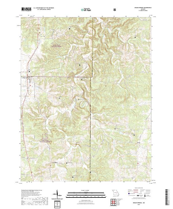 2021 Edgar Springs2021 Print · USGSThe Ozark hills of Phelps and Dent counties come alive in this 2021 survey of the timbered uplands and rural crossroads. Genealogists can trace family heritage across a remarkable number of small burial sites, from Edgar Springs Cem to Roseberry Cem and Cedar Hill Cem.
 - 2021 Map of Beulah, 2021 Print
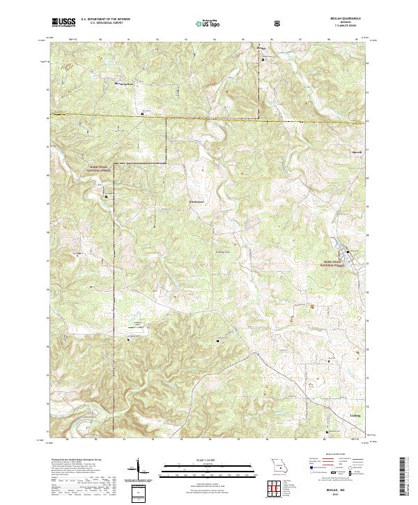 2021 Beulah2021 Print · USGSTexas County, Missouri, is depicted here in the early 2020s, showing a landscape defined by the Mark Twain National Forest and rural farmsteads. Researchers can locate family landmarks such as Beulah Cem, Kinderpost, and the distinct Zenender Sink.
 - 2021 Map of Kaintuck Hollow, 2021 Print
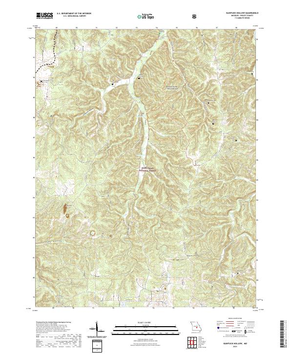 2021 Kaintuck Hollow2021 Print · USGSThe Phelps County backcountry is shown in high detail during the early twenty-first century, centered on the rugged drainages of the Mark Twain National Forest. Researchers can locate several remote burial sites and springs, including Kaintuck Cem, King Sink, and Wilkins Spring.
 - 2021 Map of Newburg, 2021 Print
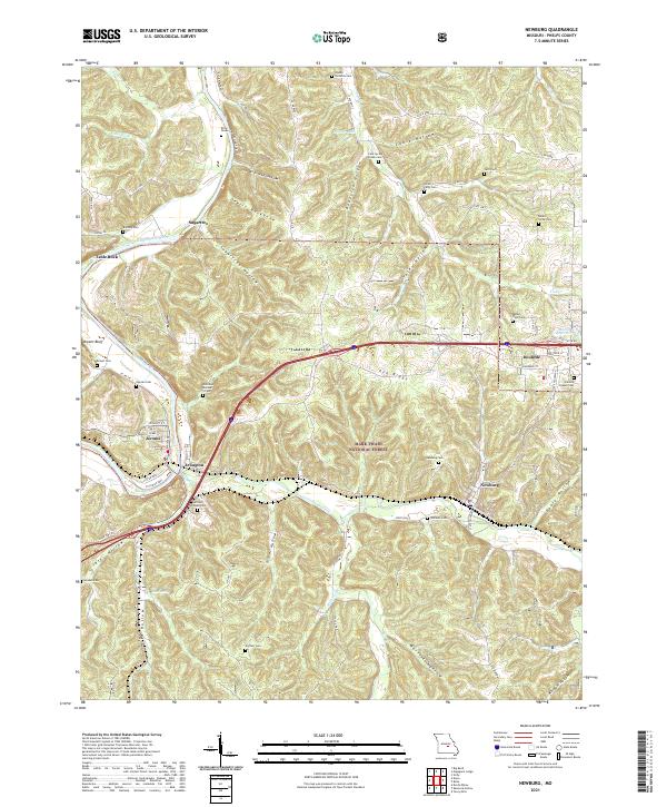 2021 Newburg2021 Print · USGSThe river valleys of the Gasconade and Little Piney Creek meet the Ozark ridges in this 2021 study of Phelps County. Genealogists can locate numerous local landmarks like Harrison - Pillman Cem, Arlington, and Newburg Cem.
 - 2021 Map of Seaton, 2021 Print
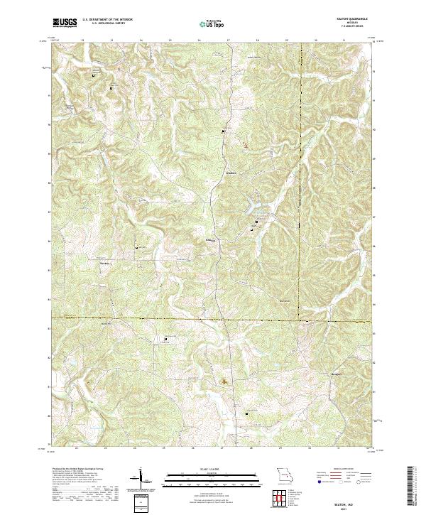 2021 Seaton2021 Print · USGSThe rural borders of Phelps, Crawford, and Dent Counties are detailed in this recent Ozark survey. Local historians can trace family roots through numerous burial sites like Greig-Hale Cem and Morrison Cem, or locate landmarks like Seven Springs Lake.
 - 2021 Map of Flat, 2021 Print
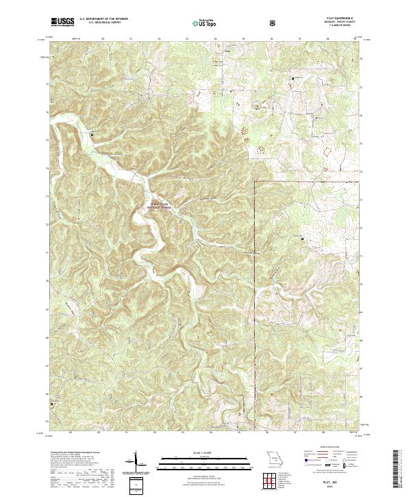 2021 Flat2021 Print · USGSThe Phelps County uplands are documented here in the early twenty-first century, showing the forest and farm landscape around Flat. Researchers can trace local family history through several burial sites like Trout Cemetery and Smith Cem or locate old water sources at Cave Spring.
 - 2021 Map of Rolla, 2021 Print
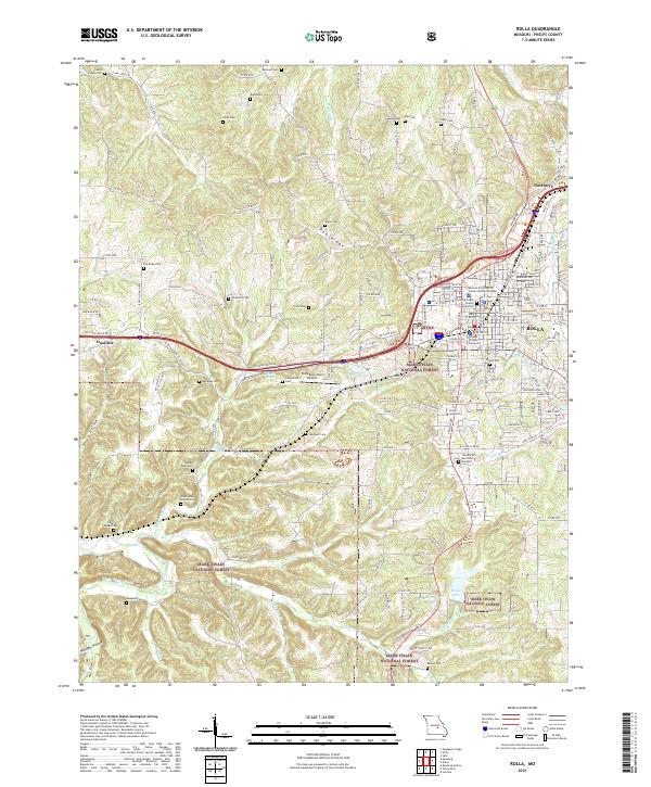 2021 Rolla2021 Print · USGSThe Missouri Ozarks and the growing city of Rolla are shown in the early 2020s, highlighting the intersection of academic life and forest land. Trace family history at the Rolla Cem or explore the area around the Phelps County Courthouse.
 - 2021 Map of Maramec Spring, 2021 Print
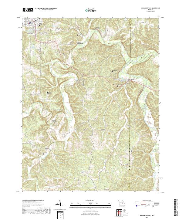 2021 Maramec Spring2021 Print · USGSPhelps and Crawford counties meet along the high ridges and deep river hollows of the Ozarks in the early 2020s. Genealogists and local historians can trace family roots through numerous burial sites like Hawkins Cem and Adams Cem or locate the geologic wonder of St James Natural Bridge.
 - 2021 Map of Yancy Mills, 2021 Print
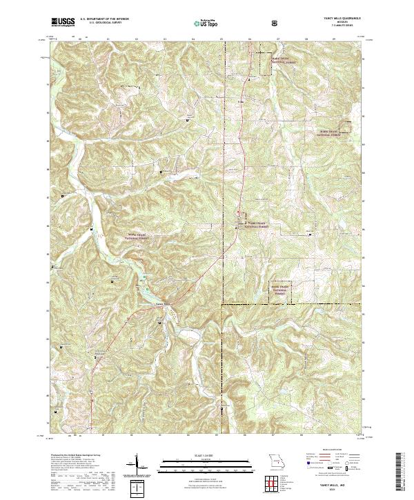 2021 Yancy Mills2021 Print · USGSThe northern Ozarks landscape of Phelps and Dent counties is captured here in a period of modern forest management. Genealogists can trace family heritage at the Wright Slave Cem, Old Philadelphia Baptist Church, and George Lane Cem near Yancy Mills.
 - 2021 Map of Maples, 2021 Print
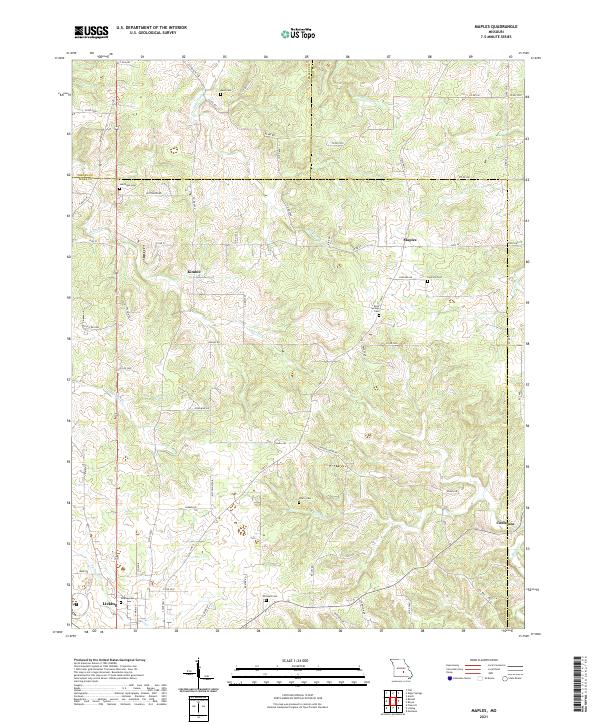 2021 Maples2021 Print · USGSLicking and the surrounding Missouri Ozarks appear in the early twenty-first century as a landscape of rural homesteads and upland drainages. Researchers can locate numerous family burial grounds like White Cem and Williams Cem or trace the early paths of Little Piney Cr.
 - 2021 Map of Dillon, 2021 Print
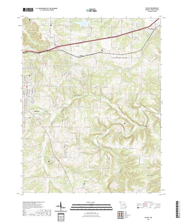 2021 Dillon2021 Print · USGSThe corridor between Rolla and St. James is captured here in the early twenty-first century, showing a landscape shaped by the BNSF Railway and the historic path of Old Hwy 66. Researchers can trace local lineage through numerous rural burial sites like Wishon Cem and Brown Cem, or locate landmarks like Panther Bluff.
 - 2021 Map of Lecoma, 2021 Print
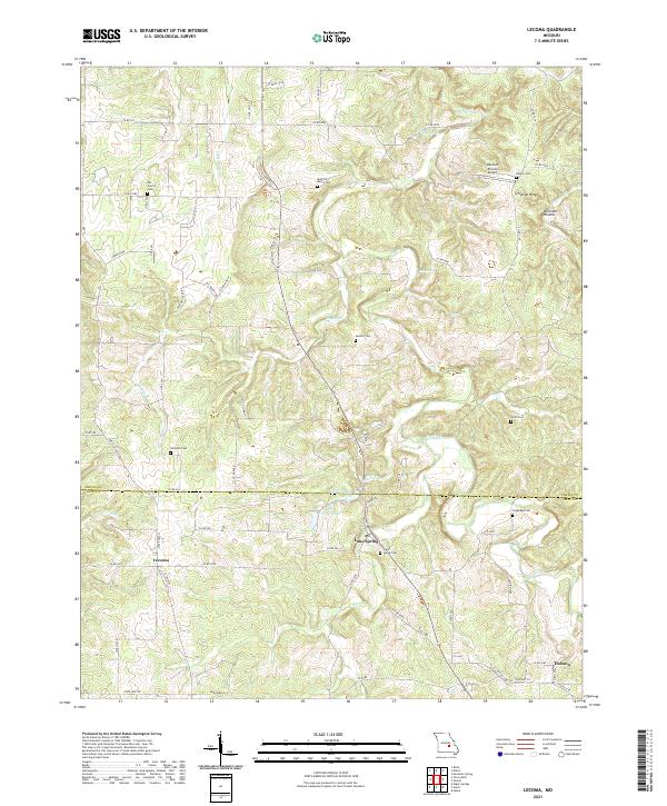 2021 Lecoma2021 Print · USGSLecoma and the Phelps-Dent county line are captured here in the early twenty-first century, showing a rural landscape defined by Ozark ridges and family cemeteries. Genealogists can trace ancestral sites at Elk Prairie Cem and Williams Cem while following the path of Little Dry Fork.
 - 2021 Map of Devils Elbow, 2021 Print
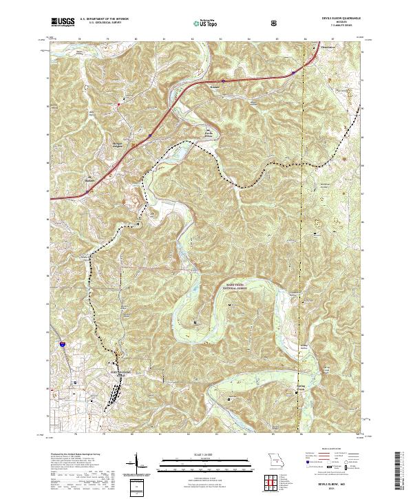 2021 Devils Elbow2021 Print · USGSPulaski County at the start of the 2020s shows the winding Big Piney River alongside the growth of St. Robert. Researchers can trace rural lineages through numerous burial sites like Mayfield Cem and Spaulding Cem.
 - 2021 Map of Slabtown Spring, 2021 Print
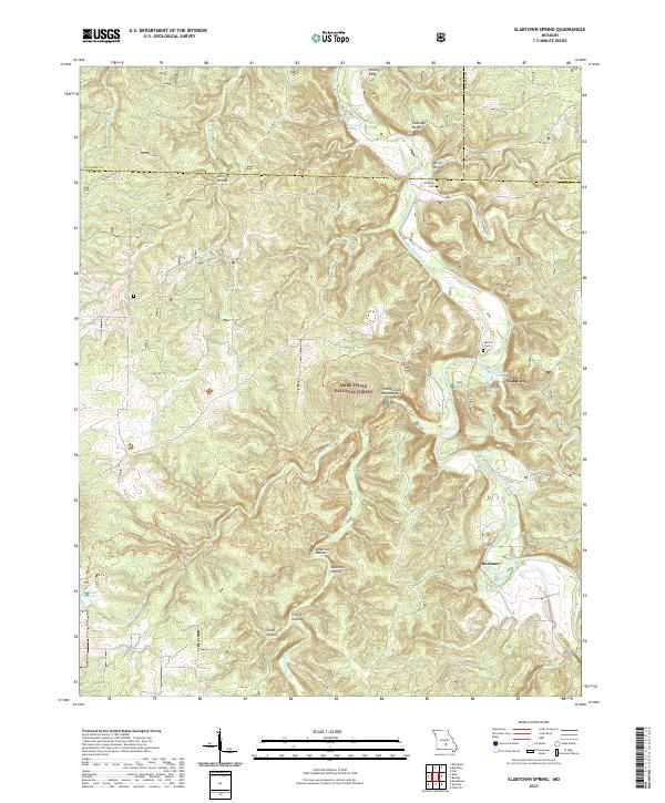 2021 Slabtown Spring2021 Print · USGSTexas County and the surrounding Ozark woodlands are shown here in the early 2020s, centered on the Big Piney River corridor. Genealogists and hikers can trace local landmarks like Omalley Cem, the site of Baldridge School, and the Paddy Creek Natural Arch.
 - 2021 Map of Rosati, 2021 Print
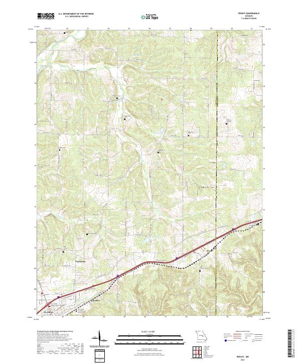 2021 Rosati2021 Print · USGSPhelps County, Missouri, is captured here in the early 2020s, showing a landscape of rural crossroads and historic family cemeteries. Researchers can trace local lineage through sites like Branstetter Cem, Flag Springs Cem, and the community of Rosati.
 - 2021 Map of Redbird, 2021 Print
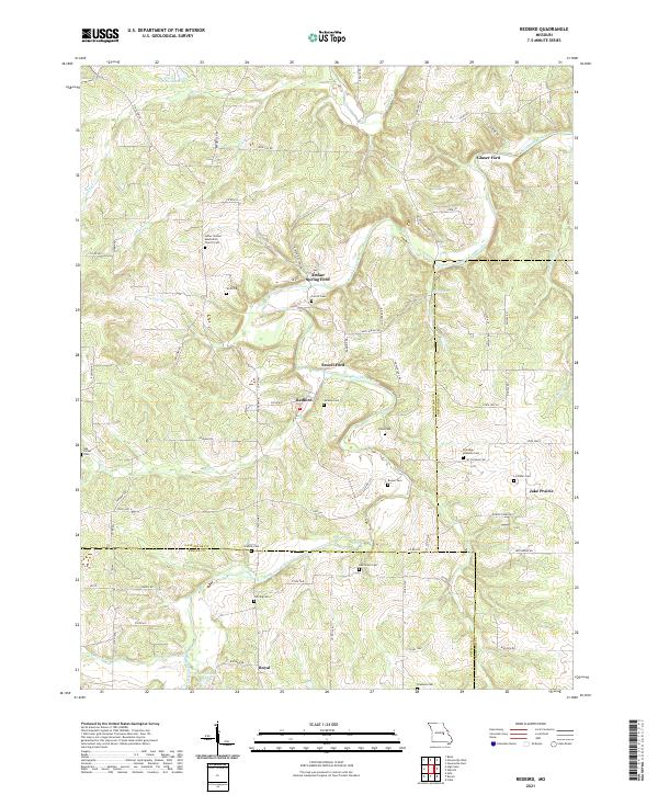 2021 Redbird2021 Print · USGSThe rural borderlands of Gasconade, Crawford, and Phelps counties are documented here as they appeared in the early 2020s. Researchers can locate numerous family burial sites and river crossings like Arthur Spring Ford, Jake Prairie, and the LeDuc United Methodist Church Cem.
 - 2021 Map of Big Piney, 2021 Print
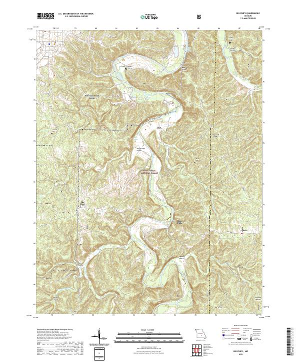 2021 Big Piney2021 Print · USGSThe Big Piney River valley in the early 2020s shows a landscape where the Fort Leonard Wood military reservation meets the Mark Twain National Forest. Local history is preserved in rural landmarks like the Knapp Lawson Cem, Duke, and the Ross Bridge.
 - 2021 Map of Nagogami Lodge, 2021 Print
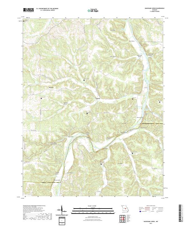 2021 Nagogami Lodge2021 Print · USGSMaries and Phelps counties come alive in this recent survey, showcasing a landscape defined by the winding Gasconade River. Researchers can trace old family burial grounds like the Granny Baker Graveyard and locate geological landmarks such as Clifty Creek Natural Bridge.
 - 2021 Map of Dixon, 2021 Print
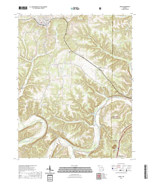 2021 Dixon2021 Print · USGSDixon and the surrounding river valleys are captured here in the early 2020s, showcasing the intersection of small-town grids and the Gasconade River. Genealogists and researchers can locate Egan Cem, the river bend at Portuguese Point, and the crossroads at Powellville.
 - 2021 Map of Safe, 2021 Print
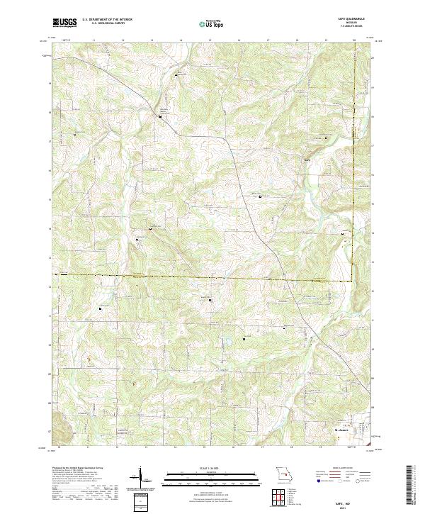 2021 Safe2021 Print · USGSThe Maries and Phelps County border comes alive in the early twenty-first century, showing a landscape of river-bend farms and rural crossroads. Genealogists can trace family lines through numerous burial sites like Rock Spring Cemetery and Beeler Cemetery along the Bourbeuse River.
 - 2021 Map of Vichy, 2021 Print
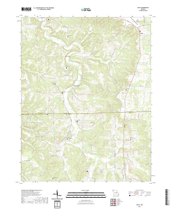 2021 Vichy2021 Print · USGSThe hill country of the Maries and Phelps county line is captured here in the early twenty-first century. Genealogists can trace family heritage through numerous remote sites like Tennison Cem, Miller Cem, and the Hazzard Farm Burials.
 - 2021 Map of High Gate, 2021 Print
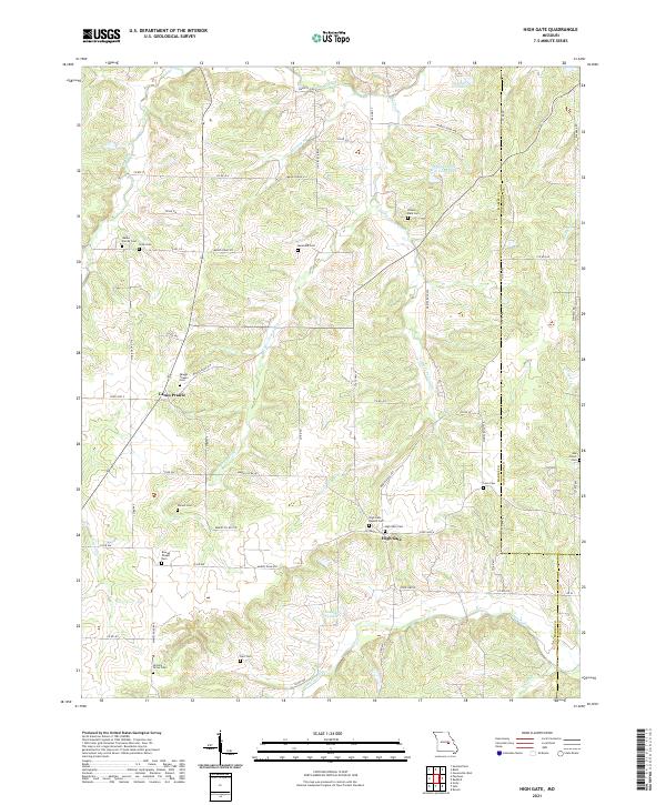 2021 High Gate2021 Print · USGSMaries County near the Gasconade and Phelps borders is shown in the early 2020s as a region defined by its small prairie settlements and family-named landmarks. Researchers can trace dozens of local burial sites like Walker Family Cem and Skaggs Chapel Cem along Lanes Fork.
 - 2021 Map of Big Bend, 2021 Print
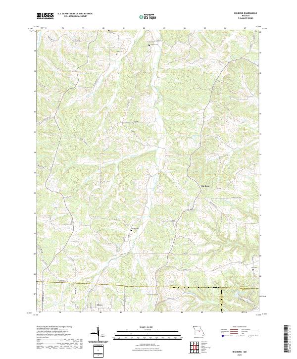 2021 Big Bend2021 Print · USGSThe northern reaches of Dixon and the winding Maries River valley come to life in this contemporary study of rural Missouri. Local historians can trace family burial sites like Fairview Cem and Dodd Cem or follow the terrain through Clifty Hollow.
End of results
Showing maps 1-23 of 23
Top cities of Phelps County
- Rolla historical maps
- St. James historical maps
- Doolittle historical maps
- Newburg historical maps
- Edgar Springs historical maps
- Powellville historical maps
Frequently asked questions
- What are the different types of historical maps available for Phelps County?
- What is the oldest map of Phelps County?
- Where can I purchase historical maps of Phelps County for my home or office?
- Where can I download high-res historical maps of Phelps County?
- Are there historical topographic maps available for Phelps County?
- Is there historical aerial imagery available for Phelps County?
- Where are historical maps of Phelps County sourced from?