2010s Maps of Phelps County, Missouri
Explore 69 historic maps of Phelps County from the 2010s. These maps offer a rare glimpse into what life looked like during the 2010s — showing old roads, neighborhoods, homes, and landmarks that have changed or disappeared over time.
Whether you're researching your family's past, planning a metal detecting trip, or studying how Phelps County's landscape evolved across the 2010s, these high-resolution maps are a powerful tool for exploring the history of this region.
- Focus on a specific era: All maps on this page are from the 2010s, giving you a focused view of this time period.
- See what’s changed: Compare century-old streets, trails, and buildings to today's modern landscape using overlays and satellite layers.
- Research with precision: Use these maps for genealogy, historical research, land use analysis, or educational projects.
- View, download, or print: Maps are fully viewable online in high resolution, and can be downloaded or printed for your own records.
Start exploring Phelps County's history through authentic maps from the 2010s. This is your window into the past.
Phelps County, MO maps
(69)- 2011 Map of Seaton, 2011 Print
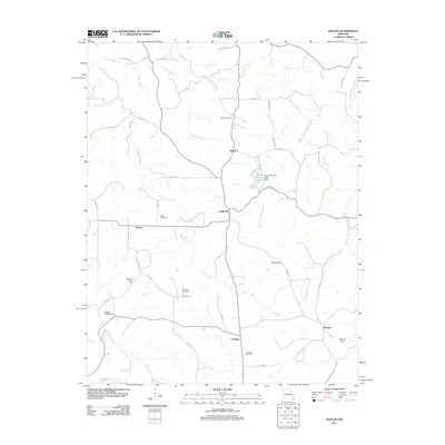 2011 Seaton2011 Print · USGSThe rural landscapes of Phelps County are detailed here in the early twenty-first century, showing the enduring structure of its hill country settlements. Genealogists and local historians can trace family roots at Asher Cemetery or Bell Cemetery and locate vanished footprints in Seaton and Winkler.
 - 2011 Map of Maples, 2011 Print
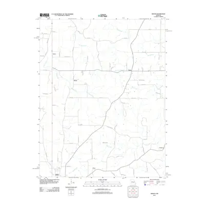 2011 Maples2011 Print · USGSThe rural landscapes of Texas County come into focus during the early twenty-first century, centered on the community of Licking. Genealogists can trace family landmarks and burial sites at Hutchison Cemetery, Concord Cemetery, and the small settlement of Maples.
 - 2011 Map of Yancy Mills, 2011 Print
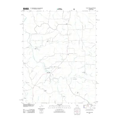 2011 Yancy Mills2011 Print · USGSPhelps County in the early twenty-first century remains defined by its deep hollows and the winding course of Little Piney Creek. Genealogists can trace family names through the Huskey Cemetery, Brookshire Cemetery, and the Yancy Mills Post Office.
 - 2011 Map of Kaintuck Hollow, 2011 Print
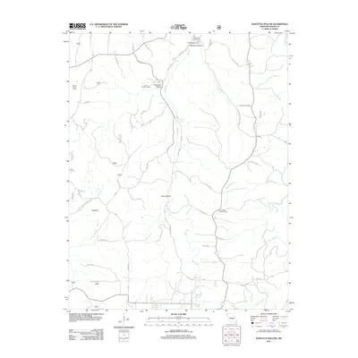 2011 Kaintuck Hollow2011 Print · USGSIn the early twenty-first century, this Missouri landscape in Phelps County shows a transition from secluded hollows to managed forest lands. Researchers can locate the Western Star School, trace family plots at Kaintuck Cemetery, and find the Corn Creek Lookout Tower.
 - 2011 Map of Beulah, 2011 Print
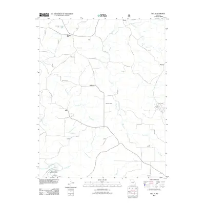 2011 Beulah2011 Print · USGSTexas County, Missouri, in the early 21st century remains a landscape of deep hollows, creek-side settlements, and managed forest. Researchers can trace family history at Vancleve Cemetery or Wilhite Cemetery, and locate landmarks like the Texas Lookout Tower and Zenender Sink.
 - 2012 Map of Big Piney, 2012 Print
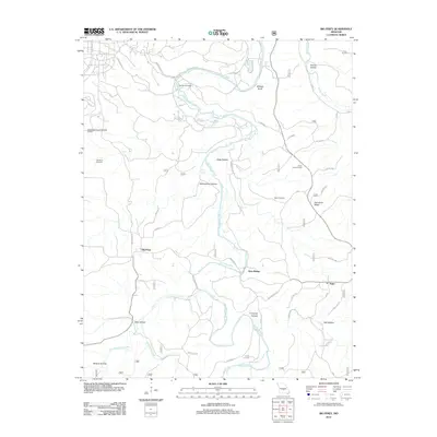 2012 Big Piney2012 Print · USGSThe Big Piney River valley in the early twenty-first century remains a landscape defined by its deep hollows and timbered ridges. Researchers can trace family sites at Ramsey Cemetery and Watts Cemetery or locate landmarks like the Piney Lookout Tower.
 - 2012 Map of Devils Elbow, 2012 Print
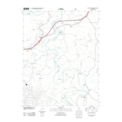 2012 Devils Elbow2012 Print · USGSPulaski County at the start of the 2010s shows a landscape where modern transit meets deep-rooted history along the Big Piney River. Genealogists can trace local heritage through sites like Spaulding Cemetery, Lee Siding, and the Trl Of Tears.
 - 2012 Map of Slabtown Spring, 2012 Print
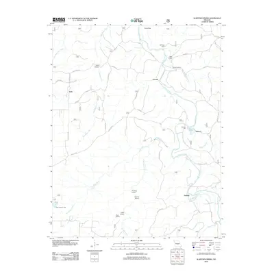 2012 Slabtown Spring2012 Print · USGSThe Big Piney River corridor in Texas County comes into focus in this early twenty-first-century survey. Genealogists and local historians can trace family landmarks like Omalley Cemetery and the riverfront communities of Hazleton and Slabtown.
 - 2012 Map of Lecoma, 2012 Print
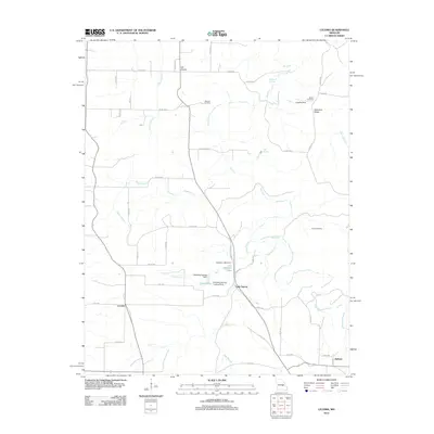 2012 Lecoma2012 Print · USGSSmall Ozark communities and family burial grounds are preserved in this 2012 Missouri survey. Genealogists and local historians can trace the rural landscape surrounding Lecoma, locating Matlock Cemetery, Lake Spring, and the waters of Hyer Branch.
 - 2012 Map of Flat, 2012 Print
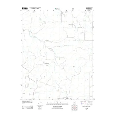 2012 Flat2012 Print · USGSPhelps County in the early twenty-first century is defined by its spring-fed creeks and the rural communities of Flat and Beulah. Researchers can locate Trout Cemetery and trace family-named landmarks through Chambers Hollow, Ledbetter Hollow, and Tie Ridge.
 - 2012 Map of Maramec Spring, 2012 Print
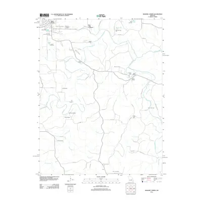 2012 Maramec Spring2012 Print · USGSSoutheast of Saint James in the early twenty-first century, this area of the Ozarks shows a deep connection to its water and industrial roots. Researchers can trace the grounds of the Old Iron Furnace near Maramec Spring or locate rural family burials at Pine Hill Cemetery.
 - 2012 Map of Edgar Springs, 2012 Print
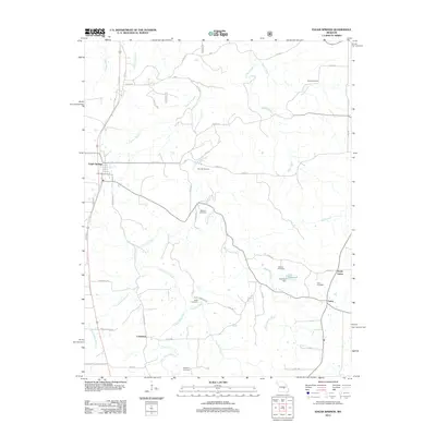 2012 Edgar Springs2012 Print · USGSEdgar Springs and the surrounding Phelps County highlands are documented here during the early twenty-first century. Genealogists can trace family heritage through numerous sites like Kitchen Cemetery, Enke Cemetery, and the settlement at Craddock.
 - 2012 Map of Newburg, 2012 Print
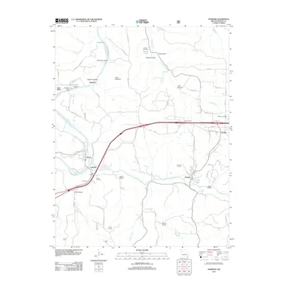 2012 Newburg2012 Print · USGSMid-Missouri river life and modern transit converge here at the meeting of the Gasconade River and Little Piney Creek. Local historians can trace old crossings like Whitehouse Ford and the settlement patterns around Arlington, Newburg, and Jerome.
 - 2012 Map of Redbird, 2012 Print
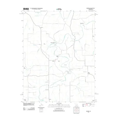 2012 Redbird2012 Print · USGSThe Bourbeuse River valley in the early 2000s remains defined by its historic river crossings and scattered rural settlements. Family historians can locate numerous small burial sites like Scantlin Cemetery and Collier Cemetery or trace old river fords including Glaser Ford.
 - 2012 Map of Nagogami Lodge, 2012 Print
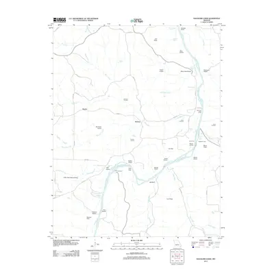 2012 Nagogami Lodge2012 Print · USGSMaries County life along the Gasconade River is captured here in the early twenty-first century, highlighting a landscape of rural settlements and deep-rooted family sites. Researchers can locate several burial grounds like Fulkerson Cemetery and trace historical river access at Gaines Ferry or Bell Chute Public Access.
 - 2012 Map of Rosati, 2012 Print
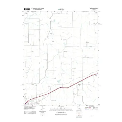 2012 Rosati2012 Print · USGSThe Missouri Ozarks transition from the Northern Border to the Eastern high country in the early twenty-first century. Genealogists can trace several local burial grounds including Dawson Cemetery and Saint Anthony Cemetery, or locate the Rosati Lookout Tower.
 - 2012 Map of Safe, 2012 Print
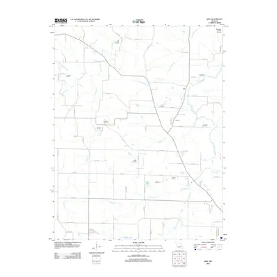 2012 Safe2012 Print · USGSPhelps County settlements like Safe and Highgrove are captured here in the early twenty-first century along the Northern Ozark Border. Genealogists can trace family roots through numerous burial sites including Rock Spring Cemetery, Beeler Cemetery, and Matlock Cemetery.
 - 2012 Map of Big Bend, 2012 Print
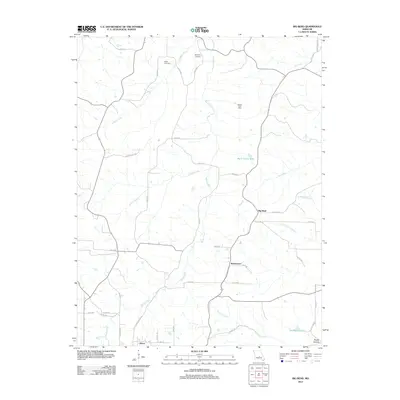 2012 Big Bend2012 Print · USGSDixon and the surrounding river valleys of central Missouri are captured here in the early twenty-first century. Researchers can trace family history through local landmarks like Weldon Post Office, Dodd Cemetery, and the riverside community of Big Bend.
 - 2012 Map of High Gate, 2012 Print
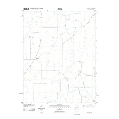 2012 High Gate2012 Print · USGSMaries County settlement and genealogy are well-preserved in this modern survey of the Northern Ozark Border. Researchers can trace ancestral roots through numerous local sites including Lanes Prairie, Love Cemetery, and High Gate.
 - 2012 Map of Dixon, 2012 Print
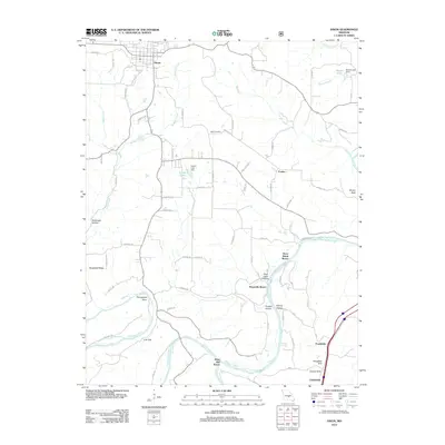 2012 Dixon2012 Print · USGSDixon and its surrounding river country are captured here in the early twenty-first century as the landscape remains tied to the Gasconade and Big Piney. Researchers can trace the town’s grid, locate Egan Cemetery, and explore river sites like Three Island Resort.
 - 2012 Map of Dillon, 2012 Print
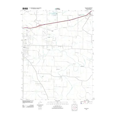 2012 Dillon2012 Print · USGSPhelps County at the start of the 2010s shows a landscape of growing towns and preserved family heritage between Rolla and Saint James. Genealogists can trace ancestral sites at Hawkins and Thomas Cemetery, while following the path of the historic Old Hwy 66.
 - 2012 Map of Vichy, 2012 Print
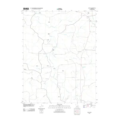 2012 Vichy2012 Print · USGSMaries County remains a land of family-named ridges and rural burial grounds in the early twenty-first century. Genealogists and local historians can trace legacy sites like Tennison Cemetery and Davis Ford or locate the Wo He Lo Woods Camp.
 - 2013 Map of Rolla, 2013 Print
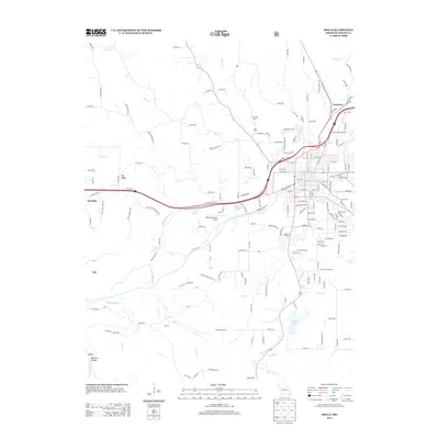 2013 Rolla2013 Print · USGSThe northern Phelps County corridor is shown in detail during its early 21st-century growth, from the outskirts of Doolittle to the heights of Pea Ridge. Researchers can trace old rural routes like Pool Holler Cave Rd and find local landmarks such as Gollahon Spring and the Rolla Downtown Airport.
 - 2015 Map of High Gate, 2015 Print
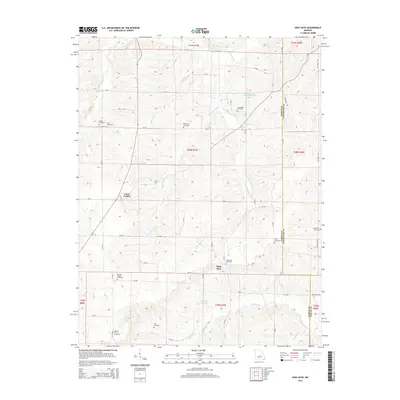 2015 High Gate2015 Print · USGSThe crossroads of Maries County are captured here in the early twenty-first century, showing the enduring rural character of the Missouri Ozarks. Genealogists can trace family heritage through a remarkable number of local burial sites, including High Gate Cemetery, Hart Cemetery, and Moreland Cemetery.
 - 2015 Map of Nagogami Lodge, 2015 Print
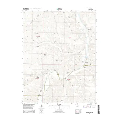 2015 Nagogami Lodge2015 Print · USGSThe Gasconade River corridor in Maries County is shown here in its modern rural character. Genealogists and local historians can locate several family burial sites like Granny Baker Graveyard and landmarks such as the Clifty Creek Natural Bridge.
Showing maps 1-25 of 69
Top cities of Phelps County
- Rolla historical maps
- St. James historical maps
- Doolittle historical maps
- Newburg historical maps
- Edgar Springs historical maps
- Powellville historical maps
Frequently asked questions
- What are the different types of historical maps available for Phelps County?
- What is the oldest map of Phelps County?
- Where can I purchase historical maps of Phelps County for my home or office?
- Where can I download high-res historical maps of Phelps County?
- Are there historical topographic maps available for Phelps County?
- Is there historical aerial imagery available for Phelps County?
- Where are historical maps of Phelps County sourced from?