2010s Maps of Pulaski County, Missouri
Explore 54 historic maps of Pulaski County from the 2010s. These maps offer a rare glimpse into what life looked like during the 2010s — showing old roads, neighborhoods, homes, and landmarks that have changed or disappeared over time.
Whether you're researching your family's past, planning a metal detecting trip, or studying how Pulaski County's landscape evolved across the 2010s, these high-resolution maps are a powerful tool for exploring the history of this region.
- Focus on a specific era: All maps on this page are from the 2010s, giving you a focused view of this time period.
- See what’s changed: Compare century-old streets, trails, and buildings to today's modern landscape using overlays and satellite layers.
- Research with precision: Use these maps for genealogy, historical research, land use analysis, or educational projects.
- View, download, or print: Maps are fully viewable online in high resolution, and can be downloaded or printed for your own records.
Start exploring Pulaski County's history through authentic maps from the 2010s. This is your window into the past.
Pulaski County, MO maps
(54)- 2011 Map of Iberia, 2011 Print
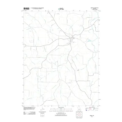 2011 Iberia2011 Print · USGSIberia and the surrounding Miller County countryside are captured here in the early twenty-first century as a landscape of winding creeks and rural crossroads. Local historians can trace old river crossings and landmarks like Madden Ford Rd, Boiling Springs, and Groffs Retreat Lake.
 - 2011 Map of Conns Creek, 2011 Print
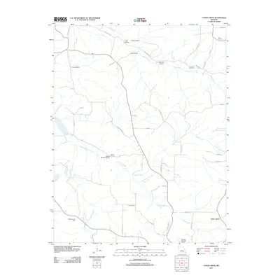 2011 Conns Creek2011 Print · USGSPulaski County at the start of the 2010s reveals a rural landscape of winding creek valleys and family burial grounds. Genealogists can locate several historic sites including Miles Cemetery, Chalfant Cemetery, and the settlement of Saint John.
 - 2011 Map of Crocker, 2011 Print
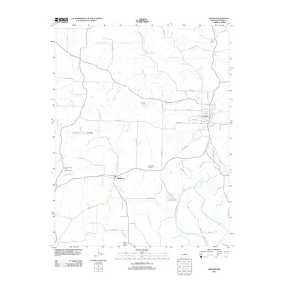 2011 Crocker2011 Print · USGSPulaski County at the start of the 2010s reveals a landscape where small Ozark communities like Crocker and Swedeborg thrive amidst a network of winding creeks and river bends. Genealogists and local historians can trace family locations near the Johnson Cemetery, the Liberty School, or the banks of the Gasconade River.
 - 2011 Map of Brumley, 2011 Print
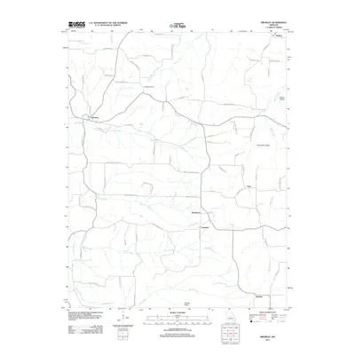 2011 Brumley2011 Print · USGSBrumley and its neighboring hamlets are captured at the start of the 2010s, showing a landscape of deep hollows and high ridges. Genealogists can trace family connections through the Hawkins Cemetery and local settlements like Keethtown, Samtown, and Faith.
 - 2011 Map of Brays, 2011 Print
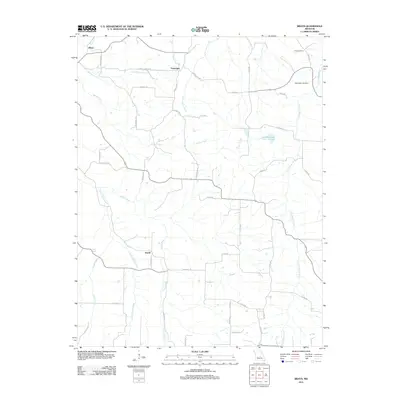 2011 Brays2011 Print · USGSMiller County’s rural interior is documented here during the early 2010s, showcasing the winding creek systems and small crossroads. Researchers can trace local heritage at Washington Cemetery and Rose Cemetery or locate the settlements of Brays and Atwell.
 - 2012 Map of Brownfield, 2012 Print
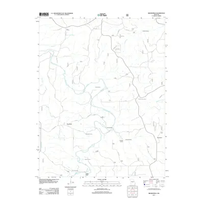 2012 Brownfield2012 Print · USGSThe Gasconade River valley in Laclede County is shown here in the early twenty-first century, before recent changes in rural land use. Genealogists and local historians can trace numerous family burial sites, including Cook Cemetery, and locate landmarks like the Fairview Lookout Tower.
 - 2012 Map of Richland, 2012 Print
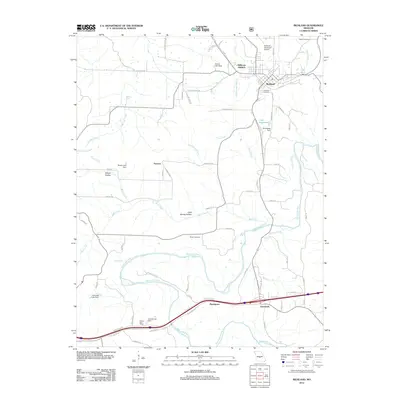 2012 Richland2012 Print · USGSRichland and the meandering Gasconade River valley are shown here in the early twenty-first century as the area continued to develop around its historical roots. Researchers can locate family sites at Oaklawn Cemetery or trace the rural landscape near Garnsey and Cave Spring Hollow.
 - 2012 Map of Bloodland, 2012 Print
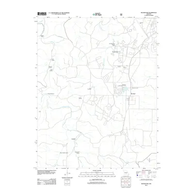 2012 Bloodland2012 Print · USGSPulaski County near the turn of the decade is documented here, showing a landscape of Ozark hollows and upland settlements. Researchers can trace family roots at Bloodland and McCann Cemetery, or locate landmarks like Devils Backbone and the Landing Strip.
 - 2012 Map of Roby, 2012 Print
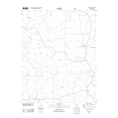 2012 Roby2012 Print · USGSTexas County, Missouri, is captured here in the early twenty-first century, showing the enduring rural layout of the Ozark hills. Researchers can pinpoint Macedonia Cemetery, trace the winding Roubidoux Creek, and locate landmarks like the Roby Lookout Tower.
 - 2012 Map of Big Piney, 2012 Print
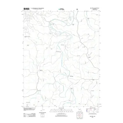 2012 Big Piney2012 Print · USGSThe Big Piney River valley in the early twenty-first century remains a landscape defined by its deep hollows and timbered ridges. Researchers can trace family sites at Ramsey Cemetery and Watts Cemetery or locate landmarks like the Piney Lookout Tower.
 - 2012 Map of Devils Elbow, 2012 Print
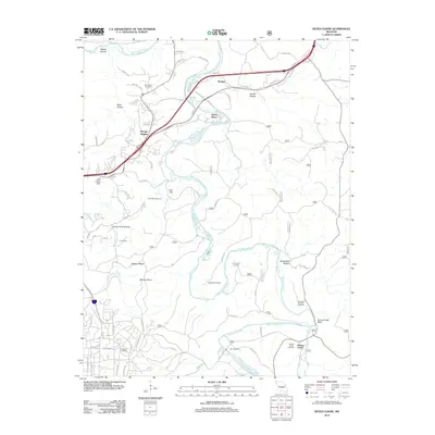 2012 Devils Elbow2012 Print · USGSPulaski County at the start of the 2010s shows a landscape where modern transit meets deep-rooted history along the Big Piney River. Genealogists can trace local heritage through sites like Spaulding Cemetery, Lee Siding, and the Trl Of Tears.
 - 2012 Map of Drynob, 2012 Print
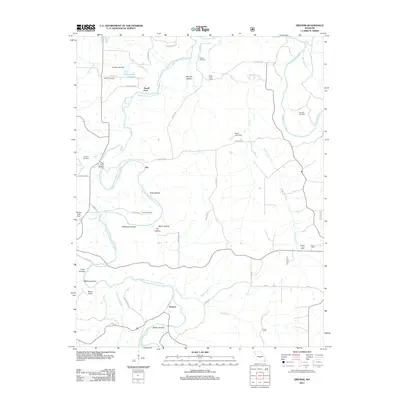 2012 Drynob2012 Print · USGSLaclede County in the early twenty-first century remains a landscape of deep hollows and historic river crossings along the Osage Fork Gasconade River. Genealogists and local historians can locate early burial sites like Similin Cemetery or trace the rural footprint of the Atoka Post Office and Abo.
 - 2012 Map of Slabtown Spring, 2012 Print
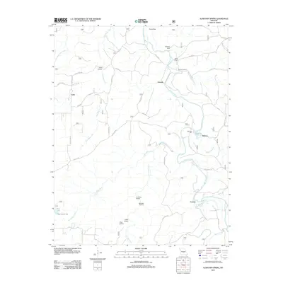 2012 Slabtown Spring2012 Print · USGSThe Big Piney River corridor in Texas County comes into focus in this early twenty-first-century survey. Genealogists and local historians can trace family landmarks like Omalley Cemetery and the riverfront communities of Hazleton and Slabtown.
 - 2012 Map of Big Bend, 2012 Print
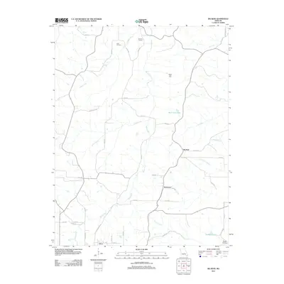 2012 Big Bend2012 Print · USGSDixon and the surrounding river valleys of central Missouri are captured here in the early twenty-first century. Researchers can trace family history through local landmarks like Weldon Post Office, Dodd Cemetery, and the riverside community of Big Bend.
 - 2012 Map of Ozark Springs, 2012 Print
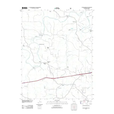 2012 Ozark Springs2012 Print · USGSPulaski County's river valleys were well-established as recreational and rural hubs by the early 2010s. Researchers can map out riverside history at Stillhouse Springs, locate family plots like Parsons Cemetery, or trace old crossings at Mokane Bridge.
 - 2012 Map of Waynesville, 2012 Print
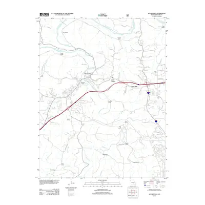 2012 Waynesville2012 Print · USGSWaynesville and Saint Robert are shown at a point of significant modern development in the early twenty-first century. Genealogists can locate several family-named burial sites including Rayle Cemetery, Turpin Cemetery, and Laughlin Cemetery along the banks of Roubidoux Creek.
 - 2012 Map of Hancock, 2012 Print
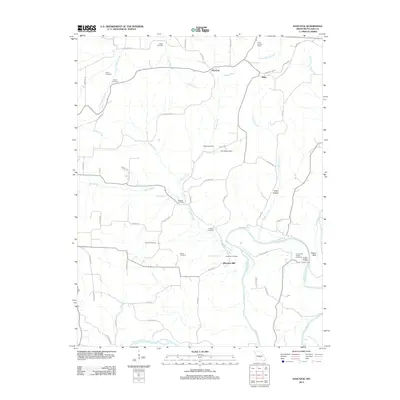 2012 Hancock2012 Print · USGSPulaski County’s river-carved landscape is shown in the early twenty-first century as the Gasconade River flows past historic family holdings. Genealogists can locate numerous burial sites like Joiner Cemetery and Antioch Cemetery, or trace the roads to Wheelers Mill and Riddle Bridge.
 - 2012 Map of Dixon, 2012 Print
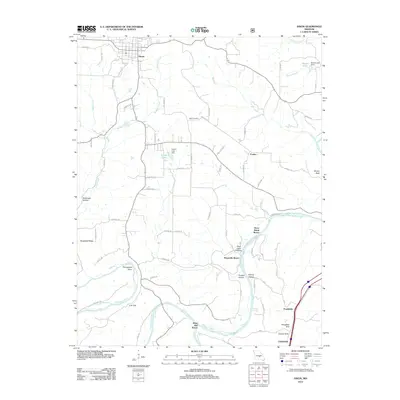 2012 Dixon2012 Print · USGSDixon and its surrounding river country are captured here in the early twenty-first century as the landscape remains tied to the Gasconade and Big Piney. Researchers can trace the town’s grid, locate Egan Cemetery, and explore river sites like Three Island Resort.
 - 2015 Map of Brumley, 2015 Print
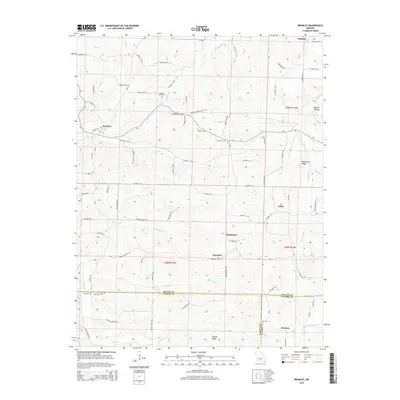 2015 Brumley2015 Print · USGSMiller and Camden counties are documented here in the early twenty-first century, showing the rural communities of the Ozark plateau. Trace family roots and local geography through Hawkins Cemetery and the crossroads at Brumley, Keethtown, and Samtown.
 - 2015 Map of Iberia, 2015 Print
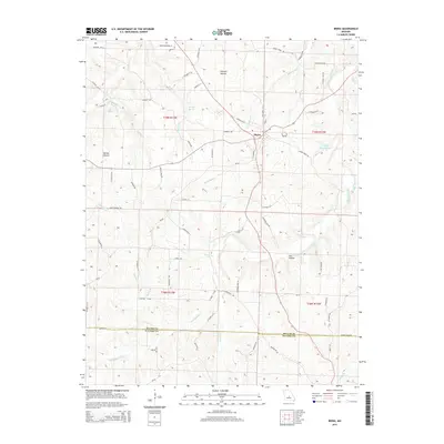 2015 Iberia2015 Print · USGSIberia and the surrounding Ozark borderlands are documented here in the early twenty-first century as the town transitions into the modern era. Genealogists and local researchers can trace family-named terrain like Heltzell Hollow and water features like Boiling Springs or Clinkingbeard Cr.
 - 2015 Map of Big Bend, 2015 Print
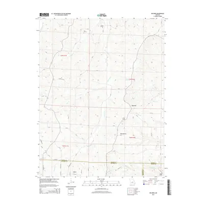 2015 Big Bend2015 Print · USGSThe river valleys of central Missouri are captured here just north of Dixon, where the Maries River meets the rural crossing at Big Bend. Researchers can trace family history through local landmarks like Dodd Cemetery, Bumpass Cemetery, and the rugged contours of Clifty Hollow.
 - 2015 Map of Brays, 2015 Print
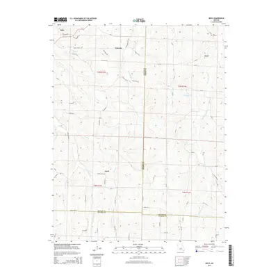 2015 Brays2015 Print · USGSThe rural borders of Miller, Maries, and Pulaski counties come into focus in the mid-2010s, showing a landscape shaped by the Little Maries River and Little Tavern Cr. Researchers can locate historic rural sites like Traderight, Atwell, and Washington Cemetery among the winding country roads.
 - 2015 Map of Brownfield, 2015 Print
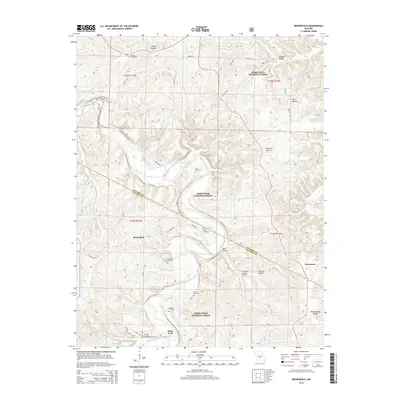 2015 Brownfield2015 Print · USGSLaclede and Pulaski counties are captured here in the mid-2010s, showing the intersection of rural life and national forest land. Genealogists and historians can trace family roots through several sites like Rollins Cemetery, Cook Cemetery, and the river crossing at Adam Ford.
 - 2015 Map of Big Piney, 2015 Print
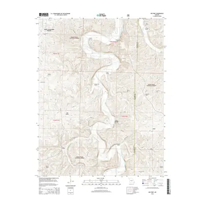 2015 Big Piney2015 Print · USGSThe Missouri Ozarks are captured here during a period of transition between military expansion and deep-rooted rural life. Genealogists and local historians can trace family land and landmarks like Knapp Lawson Cemetery, the small community of Big Piney, and Miller Spring.
 - 2015 Map of Hancock, 2015 Print
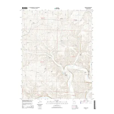 2015 Hancock2015 Print · USGSPulaski County at the start of the twenty-first century is a landscape of river bends and family cemeteries. Genealogists can locate rural burial sites like Decker Cemetery or trace the river-bound community at Wheelers Mill and Riddle Bridge.
Showing maps 1-25 of 54
Top cities of Pulaski County
- Saint Robert historical maps
- Waynesville historical maps
- Richland historical maps
- Dixon historical maps
- Crocker historical maps
Frequently asked questions
- What are the different types of historical maps available for Pulaski County?
- What is the oldest map of Pulaski County?
- Where can I purchase historical maps of Pulaski County for my home or office?
- Where can I download high-res historical maps of Pulaski County?
- Are there historical topographic maps available for Pulaski County?
- Is there historical aerial imagery available for Pulaski County?
- Where are historical maps of Pulaski County sourced from?