2020s Maps of Stoddard County, Missouri
Explore 24 historic maps of Stoddard County from the 2020s. These maps offer a rare glimpse into what life looked like during the 2020s — showing old roads, neighborhoods, homes, and landmarks that have changed or disappeared over time.
Whether you're researching your family's past, planning a metal detecting trip, or studying how Stoddard County's landscape evolved across the 2020s, these high-resolution maps are a powerful tool for exploring the history of this region.
- Focus on a specific era: All maps on this page are from the 2020s, giving you a focused view of this time period.
- See what’s changed: Compare century-old streets, trails, and buildings to today's modern landscape using overlays and satellite layers.
- Research with precision: Use these maps for genealogy, historical research, land use analysis, or educational projects.
- View, download, or print: Maps are fully viewable online in high resolution, and can be downloaded or printed for your own records.
Start exploring Stoddard County's history through authentic maps from the 2020s. This is your window into the past.
Stoddard County, MO maps
(24)- 2021 Map of Charter Oak, 2021 Print
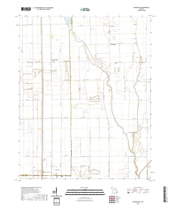 2021 Charter Oak2021 Print · USGSStoddard and New Madrid counties at the start of the 2020s show a landscape shaped by rural industry and water management. Genealogists and local historians can trace family roots near Charter Oak, Big Ridge, and the Simmons Cem.
 - 2021 Map of Bloomfield, 2021 Print
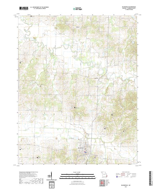 2021 Bloomfield2021 Print · USGSStoddard County's rolling river bottoms and rural uplands come into focus in this contemporary Missouri survey. Genealogists and historians can trace family locations near Bloomfield Cem, North Antioch Cem, and the small community of Zadock.
 - 2021 Map of Dexter, 2021 Print
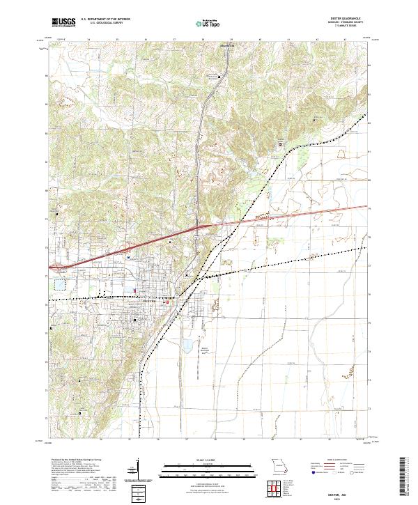 2021 Dexter2021 Print · USGSStoddard County's agricultural heartland and the growing city of Dexter are shown here in the 2020s. Genealogists can locate family burial grounds like Kinder Cem and Hagy Cem or study the grounds of the Missouri State Veterans Cem.
 - 2021 Map of Morehouse, 2021 Print
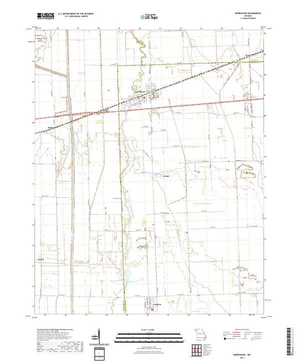 2021 Morehouse2021 Print · USGSSoutheast Missouri’s Bootheel region is documented here in the early twenty-first century, showcasing the intersection of three counties. Researchers can trace the drainage patterns of Little River and locate small communities like Canalou, Delmo, and Morehouse.
 - 2021 Map of Bernie, 2021 Print
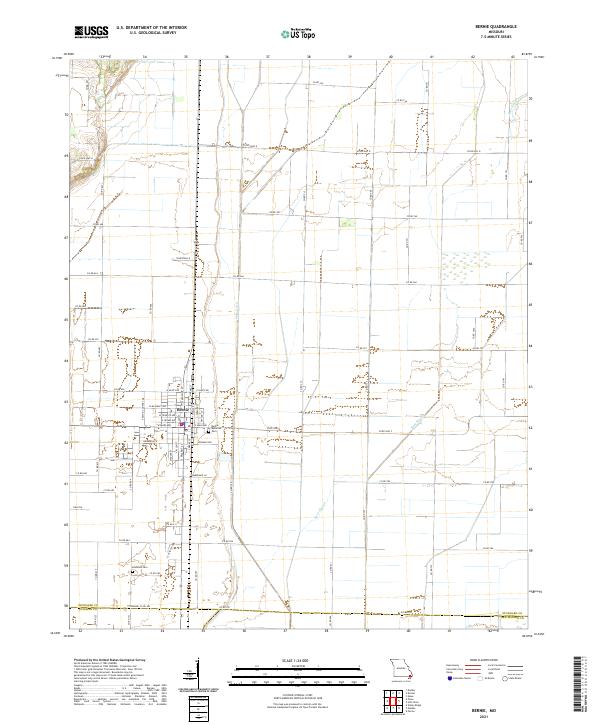 2021 Bernie2021 Print · USGSBernie and the surrounding Stoddard County lowlands are captured here in the early twenty-first century. Genealogists and researchers can locate family plots at Bernie Memorial Cem and Edmonds Cem or trace the drainage paths of Main Ditch and Bess Slough.
 - 2021 Map of Hills Store, 2021 Print
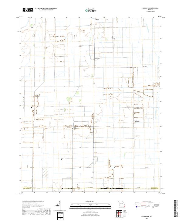 2021 Hills Store2021 Print · USGSStoddard County's managed waterways and rural crossroads are captured in this recent survey of the Missouri Bootheel. Genealogists and local historians can locate family landmarks like Stones Chapel Cem or trace the drainage networks of Main Ditch and the Upper Castor River.
 - 2021 Map of Clines Island, 2021 Print
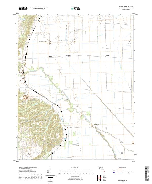 2021 Clines Island2021 Print · USGSStoddard County is documented here in the early 2020s, showing a landscape defined by drainage engineering and small rural crossroads. Genealogists can locate several family burial grounds like Ellis Cem and Hopkins Cem near settlements such as Guam and Toppertown.
 - 2021 Map of Essex, 2021 Print
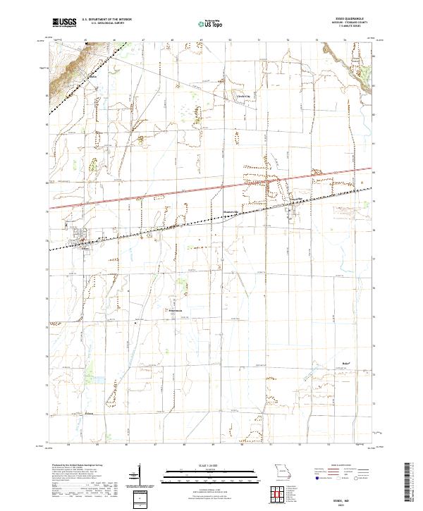 2021 Essex2021 Print · USGSStoddard County's agricultural heartland is documented here in the early twenty-first century, showing the evolved landscape of the Missouri Bootheel. Local historians can trace the drainage networks of Bess Slough and identify family heritage at Bluff Cem and Taylor Cem.
 - 2021 Map of Vanduser, 2021 Print
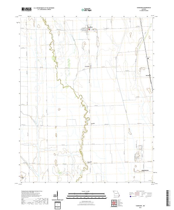 2021 Vanduser2021 Print · USGSSoutheast Missouri’s agricultural lowlands are captured here in the early twenty-first century, showing a landscape of small crossroads and drainage networks. Researchers can locate family landmarks like Carpenter Cem and trace the paths of Little River and Mud Slough.
 - 2021 Map of Sturdivant, 2021 Print
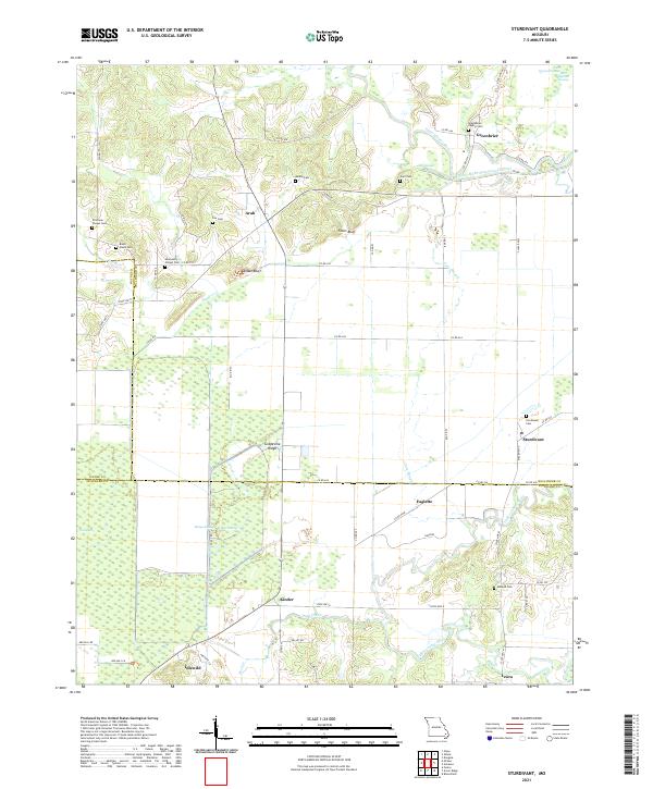 2021 Sturdivant2021 Print · USGSSoutheast Missouri's wet lowlands and bluff-lined ridges come into focus in this modern record of Bollinger County. Researchers can trace rural lineages through numerous family sites like Beatty Cem and Stratman Chapel Cem or locate the village of Sturdivant.
 - 2021 Map of Powe, 2021 Print
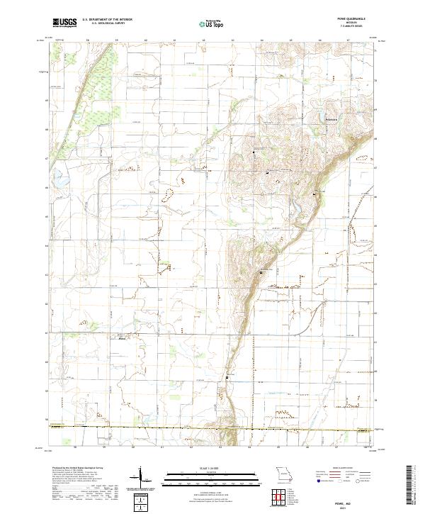 2021 Powe2021 Print · USGSStoddard County's agricultural lowlands are documented here in the early twenty-first century, showing a landscape shaped by drainage and quiet rural settlements. Researchers can locate family burial sites at Summer Cem and McMurphy Cem or trace the waterways of Otter Slough.
 - 2021 Map of Rombauer, 2021 Print
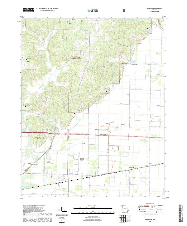 2021 Rombauer2021 Print · USGSThe eastern edges of Poplar Bluff and the wooded terrain of the Mark Twain National Forest meet here in recent decades. Genealogists can trace family history through numerous local sites like Huffman Cem, Rombauer Cem, and Greenhill Cem.
 - 2021 Map of Bell City, 2021 Print
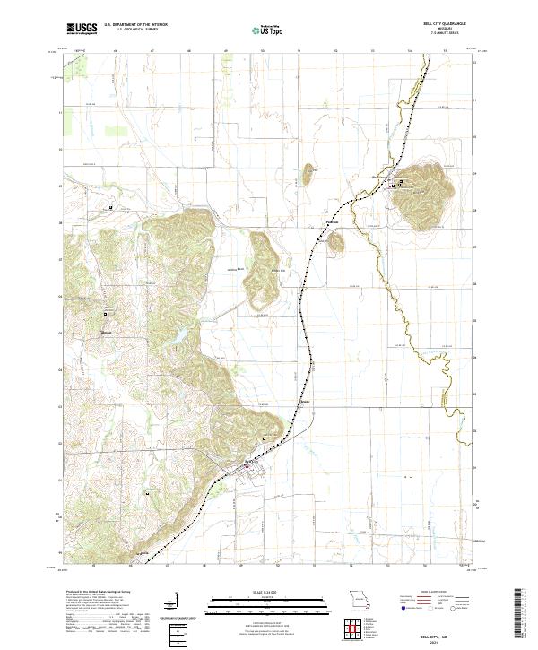 2021 Bell City2021 Print · USGSSoutheast Missouri's bootheel transition comes into focus in the early 2020s, where the lowlands meet the rising elevations of the interior. Researchers can trace family sites from Bell City to Ardeola, including landmarks like Bird Hill and the Darus Cem.
 - 2021 Map of Fisk, 2021 Print
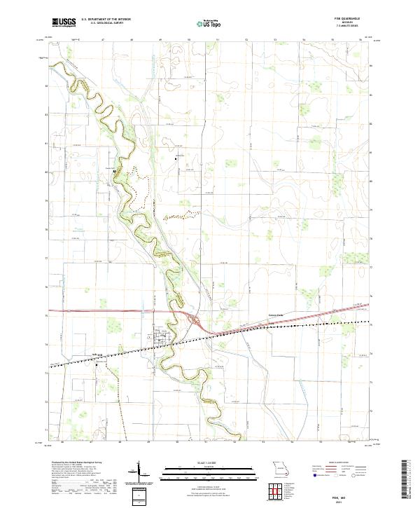 2021 Fisk2021 Print · USGSThe winding Saint Francis River and its reclaimed wetlands define the Butler and Stoddard county line in the early 2020s. Genealogists can trace family sites at Ash Hills Cem and Owens Cem or explore the settlements of Fisk and Ives.
 - 2021 Map of Whitewater, 2021 Print
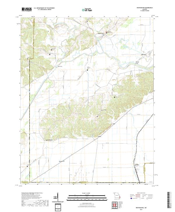 2021 Whitewater2021 Print · USGSSoutheast Missouri's river bottoms and ridges come alive in this survey of the Cape Girardeau and Scott County line. Researchers can trace the Castor River Diversion Channel and find local history at the Allenville Covered Bridge, Trinity Methodist Cem, and the old settlement of Green Cox.
 - 2021 Map of McGee, 2021 Print
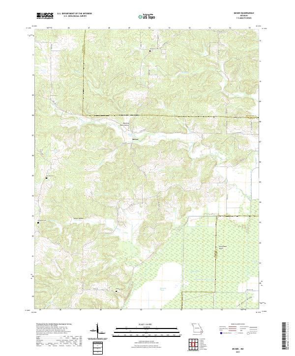 2021 McGee2021 Print · USGSWayne County and the surrounding Missouri lowlands appear in detail during this recent survey of the transition from Ozark ridges to managed wetlands. Researchers can locate family burial sites like Richmann Cem and Wilfong Cem or trace the drainage of Mingo Swamp.
 - 2021 Map of Advance, 2021 Print
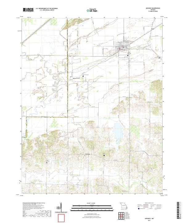 2021 Advance2021 Print · USGSSoutheast Missouri's agricultural and wetland transition is captured here in the early 2020s, showing the evolved landscape of Stoddard County. Researchers can trace rural lineages through the locations of Saint Joseph Cemetery and Liberty Hill Cemetery or locate old community centers like Brownwood and Swinton.
 - 2021 Map of Acorn Ridge, 2021 Print
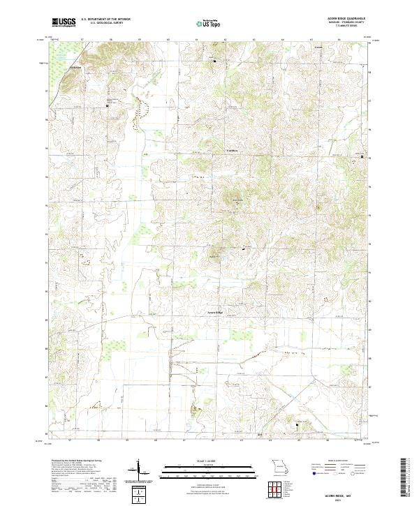 2021 Acorn Ridge2021 Print · USGSStoddard County's transition from upland ridges to bottomland swamps is captured here in the early twenty-first century. Genealogists can trace family footprints at Brown General Baptist Church Cem and Fagan Cem or locate the rural crossroads of Curdton and Acorn Ridge.
 - 2021 Map of Wappapello, 2021 Print
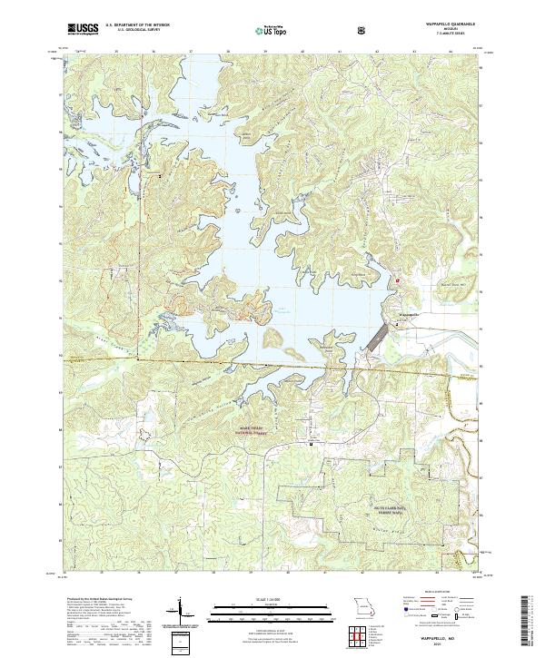 2021 Wappapello2021 Print · USGSSoutheast Missouri at the edge of the Ozarks is centered on the expansive waters of Lake Wappapello and its many wooded hollows. Genealogists and local historians can locate Kelly Cem and Little Brushy Cem near the town of Wappapello.
 - 2021 Map of Dongola, 2021 Print
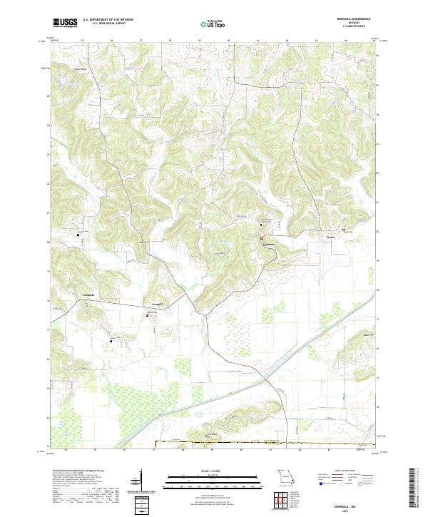 2021 Dongola2021 Print · USGSThe rural landscapes of Bollinger County are captured in this recent survey, showcasing a region defined by hill-country settlements and major water diversions. Researchers can trace family history at Dongola Cem or locate the old crossroads of Glennon and Drum.
 - 2021 Map of Dudley, 2021 Print
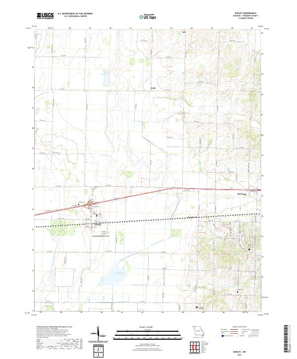 2021 Dudley2021 Print · USGSStoddard County in the early 2020s shows the enduring intersection of agricultural drainage and historic settlement. Trace family roots at Old Bethel Cemetery or Smith Cemetery, and explore the rural hamlets of Aid and Redd.
 - 2021 Map of Broseley, 2021 Print
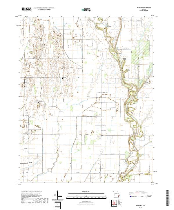 2021 Broseley2021 Print · USGSButler County agricultural life is centered around the Broseley and Rossville areas in this modern survey of the Missouri Bootheel. Researchers can trace local heritage at Browns Chapel Cem and locate river landmarks like Upper Shoals and Otter Slough.
 - 2021 Map of Puxico, 2021 Print
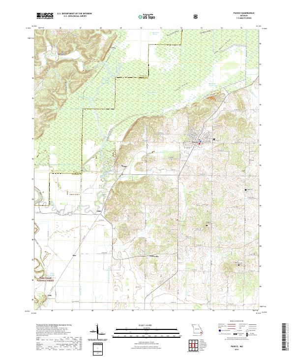 2021 Puxico2021 Print · USGSSoutheast Missouri at the edge of the Ozarks reveals a landscape of complex wetlands and timbered ridges. Researchers can trace rural lineages at Puxico Cem and Rock Hill Cem or explore the vast reaches of Mingo Swamp and the Mark Twain National Forest.
 - 2021 Map of Oran, 2021 Print
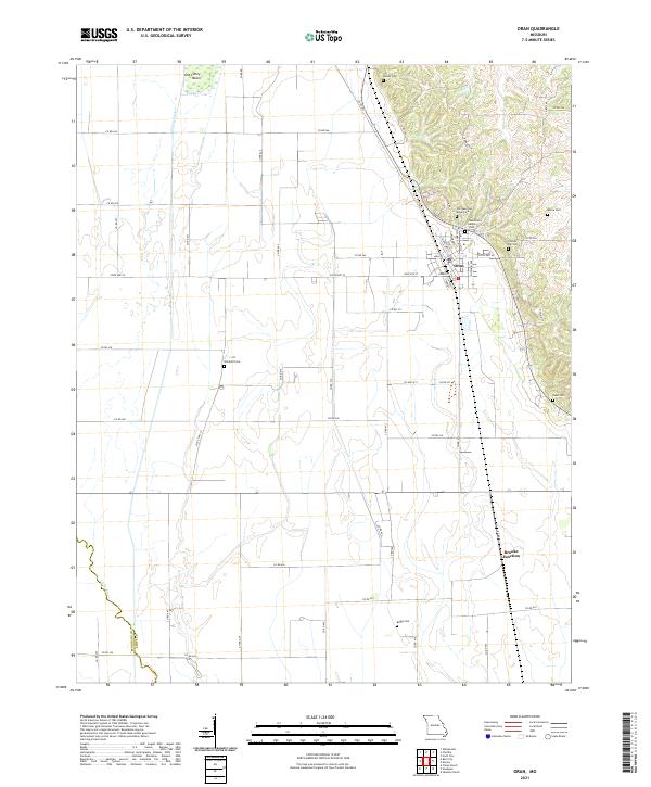 2021 Oran2021 Print · USGSScott County, Missouri, is shown here in the early 2020s, capturing the landscape between the hills and the river plains. Researchers can trace numerous family burial sites such as Old Guardian Angel Cem, Friends Hill Cem, and Warfield Cem.
End of results
Showing maps 1-24 of 24
Top cities of Stoddard County
- Dexter historical maps
- Bloomfield historical maps
- Bernie historical maps
- Advance historical maps
- Puxico historical maps
- Essex historical maps
See more
Frequently asked questions
- What are the different types of historical maps available for Stoddard County?
- What is the oldest map of Stoddard County?
- Where can I purchase historical maps of Stoddard County for my home or office?
- Where can I download high-res historical maps of Stoddard County?
- Are there historical topographic maps available for Stoddard County?
- Is there historical aerial imagery available for Stoddard County?
- Where are historical maps of Stoddard County sourced from?