2000s (21st Century) Maps of Stoddard County, Missouri
Explore 96 historic maps of Stoddard County from the 2000s (21st Century). These maps offer a rare glimpse into what life looked like during the 2000s — showing old roads, neighborhoods, homes, and landmarks that have changed or disappeared over time.
Whether you're researching your family's past, planning a metal detecting trip, or studying how Stoddard County's landscape evolved across the 2000s, these high-resolution maps are a powerful tool for exploring the history of this region.
- Focus on a specific era: All maps on this page are from the 2000s, giving you a focused view of this time period.
- See what’s changed: Compare century-old streets, trails, and buildings to today's modern landscape using overlays and satellite layers.
- Research with precision: Use these maps for genealogy, historical research, land use analysis, or educational projects.
- View, download, or print: Maps are fully viewable online in high resolution, and can be downloaded or printed for your own records.
Start exploring Stoddard County's history through authentic maps from the 2000s. This is your window into the past.
Stoddard County, MO maps
(96)- 2011 Map of Wappapello, 2011 Print
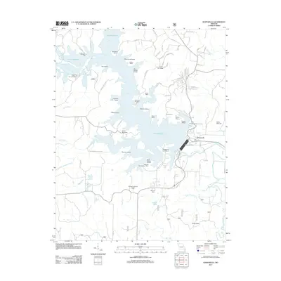 2011 Wappapello2011 Print · USGSIn the early twenty-first century, the Saint Francis River valley in Wayne County remains defined by the vast reach of the Wappapello Dam. Researchers can trace the layout of Wappapello, identify local landmarks like the Davis Air Ranch, and find family history at the Chaonia Cemetery.
 - 2011 Map of Dudley, 2011 Print
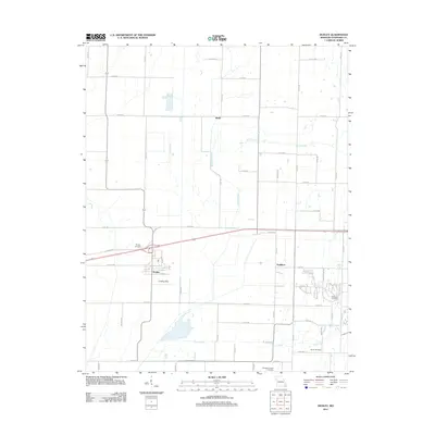 2011 Dudley2011 Print · USGSStoddard County is seen here in the early twenty-first century as a meticulously organized agricultural landscape. Researchers can locate family burial sites at Dudley Cemetery and Smith Cemetery or trace the early street plan of Dudley near Old Hwy 60.
 - 2011 Map of Rombauer, 2011 Print
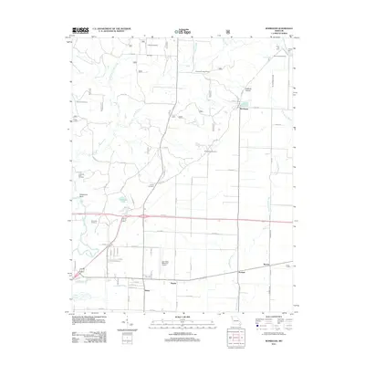 2011 Rombauer2011 Print · USGSThe rural landscapes near Poplar Bluff and the Black River are captured here in the early twenty-first century. Researchers can trace family history through several burial sites like Dooley Cemetery or locate landmarks such as the Rombauer Lookout Tower and Hodges Ferry.
 - 2011 Map of Fisk, 2011 Print
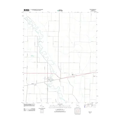 2011 Fisk2011 Print · USGSFisk and the Saint Francis River valley are shown here in the early twenty-first century, revealing a landscape shaped by river commerce and drainage engineering. Researchers can locate Riverside Mill, Poplin Ferry, and the family history preserved at Ash Hills Cemetery.
 - 2011 Map of Broseley, 2011 Print
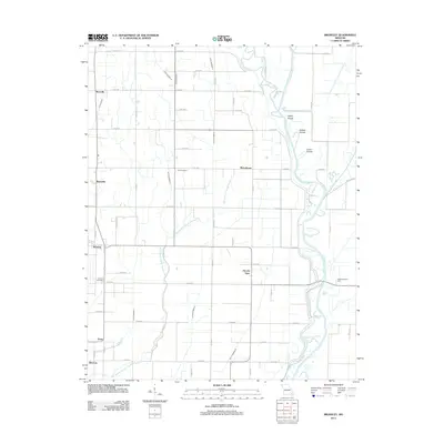 2011 Broseley2011 Print · USGSThe rural landscape of Butler County in the early 2010s reveals a deeply engineered agricultural district shaped by the Saint Francis River. Genealogists and local historians can trace family locations near Broseley, Vale Cemetery, and the river crossing at Higginbothams Ferry.
 - 2011 Map of Powe, 2011 Print
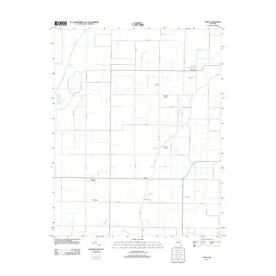 2011 Powe2011 Print · USGSThe rural landscape of Stoddard County is captured here in the early 2010s, showing the settled farmsteads and water management systems near Pyletown. Genealogists can locate several local burial sites including Summer, Stephens, and McMurphy.
 - 2011 Map of McGee, 2011 Print
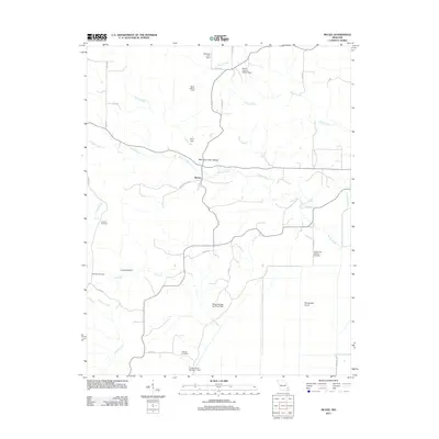 2011 McGee2011 Print · USGSThe rural McGee area of Wayne County is shown here in the early twenty-first century, detailed with local hollows and timbered ridges. Genealogists can locate family burial sites at Wilfong Cemetery and Richman Cemetery or trace landmarks like Gypsy Lookout Tower.
 - 2012 Map of Puxico, 2012 Print
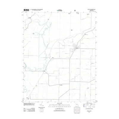 2012 Puxico2012 Print · USGSSoutheast Missouri at the start of the 2010s reveals a structured rural landscape centered on Puxico. Researchers can trace old family names at Clubb Cemetery and Rock Hill Cemetery or locate the historic Reece Post Office near the Saint Francis River.
 - 2012 Map of Sturdivant, 2012 Print
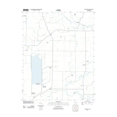 2012 Sturdivant2012 Print · USGSSoutheast Missouri's river lowlands meet the Ozark edge in the early 2010s, showing a landscape of wildlife refuges and rural hamlets. Genealogists can locate family burial sites like Kimbrel Cemetery and Cox Cemetery near settlements such as Eaglette and Kinder.
 - 2012 Map of Oran, 2012 Print
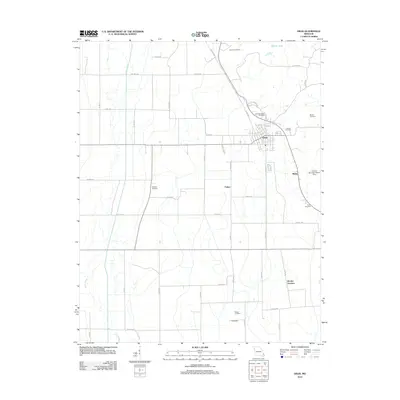 2012 Oran2012 Print · USGSScott County farm country comes into focus in this early 2010s survey, showing the rural grid and rail lines surrounding the town of Oran. Genealogists can trace family plots at Guardian Angel Cemetery, Dennis Cemetery, and Warfield Cemetery.
 - 2012 Map of Advance, 2012 Print
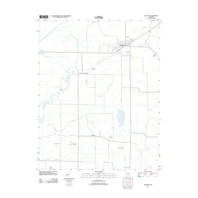 2012 Advance2012 Print · USGSStoddard County is documented here in the early 2010s, showing a landscape defined by the Upper Castor River and agricultural crossroads. Researchers can locate numerous family burial grounds including Morgan Cemetery, Rock Point Cemetery, and George Cemetery.
 - 2012 Map of Dongola, 2012 Print
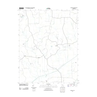 2012 Dongola2012 Print · USGSBollinger County at the start of the 2010s reveals a rural landscape shaped by significant water management and long-standing family settlements. Researchers can trace ancestral sites at Mansker Cemetery and Kellion Cemetery or explore the engineering of the Castor River Diversion Channel.
 - 2012 Map of Acorn Ridge, 2012 Print
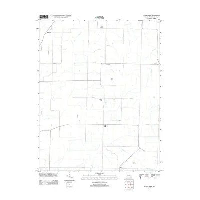 2012 Acorn Ridge2012 Print · USGSStoddard County is mapped here during the early 2010s, showing a rural Missouri landscape defined by small farming communities and family-named landmarks. Genealogists can trace local roots through several burial sites like Fagen Cemetery and Elliot Cemetery near Acorn Ridge.
 - 2012 Map of Bell City, 2012 Print
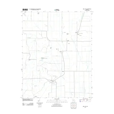 2012 Bell City2012 Print · USGSSoutheast Missouri's lowland plains and rising hills are documented here in the early twenty-first century. Genealogists and local historians can locate several family burial sites including Troph Cemetery and Plainview Cemetery, or trace settlements like Bell City and Ardeola.
 - 2012 Map of Whitewater, 2012 Print
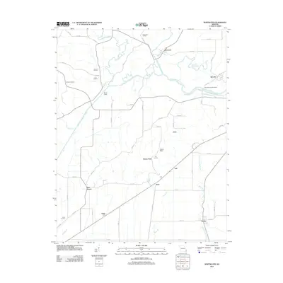 2012 Whitewater2012 Print · USGSSoutheast Missouri in the early 2010s reveals a landscape defined by massive hydrological engineering and deep family roots. Researchers can trace ancestral sites like Stroderville Cemetery and Frazier Cemetery or locate the landmark Allenville Covered Bridge.
 - 2012 Map of Hills Store, 2012 Print
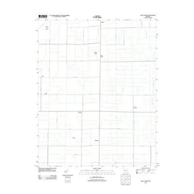 2012 Hills Store2012 Print · USGSStoddard County is captured here in the early twenty-first century, showing a landscape of organized agriculture and small rural settlements. Genealogists can trace family locations near Stones Chapel Cemetery, Vinson School, and the community of Hills Store.
 - 2012 Map of Bloomfield, 2012 Print
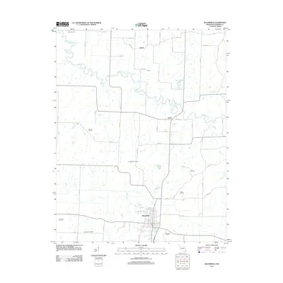 2012 Bloomfield2012 Print · USGSStoddard County's rural landscape comes into focus in the early 2010s, centered on the community of Bloomfield. Genealogists and researchers can trace a wealth of local burial sites including Lick Creek Cemetery, Walker Cemetery, and Wambel Cemetery.
 - 2012 Map of Charter Oak, 2012 Print
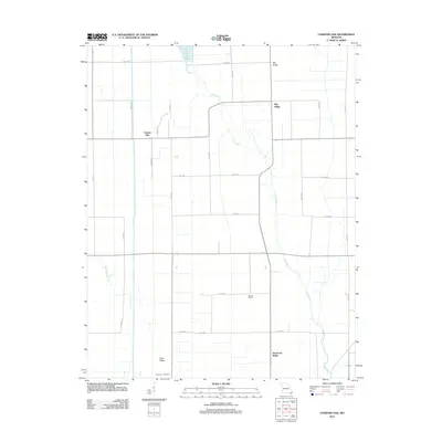 2012 Charter Oak2012 Print · USGSStoddard County in the early twenty-first century is a landscape of rural crossroads and river bottomlands. Genealogists and local historians can trace family sites near Simmons Cemetery, the historic Kendal School, and the settlements of Charter Oak and Cane Ridge.
 - 2012 Map of Morehouse, 2012 Print
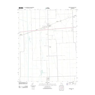 2012 Morehouse2012 Print · USGSSoutheast Missouri's Bootheel is shown here in the early twenty-first century, revealing a landscape defined by industrial-scale drainage and small-town resilience. Trace family ties and local history across the grids of Morehouse, Canalou, and the settlement at Tram Switch.
 - 2012 Map of Dexter, 2012 Print
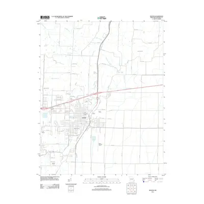 2012 Dexter2012 Print · USGSThe city of Dexter and its surrounding agricultural landscape are captured here in the early twenty-first century. Genealogists and historians can trace numerous local landmarks including Dexter Cemetery, Miller Cemetery, and Dexter Junction.
 - 2012 Map of Vanduser, 2012 Print
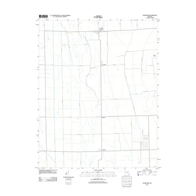 2012 Vanduser2012 Print · USGSSoutheast Missouri's agricultural heartland is documented here in the early twenty-first century as modern field patterns surround traditional local hubs. Researchers can trace the layout of small settlements like Vanduser and Crowder or locate the Carpenter Cemetery.
 - 2012 Map of Clines Island, 2012 Print
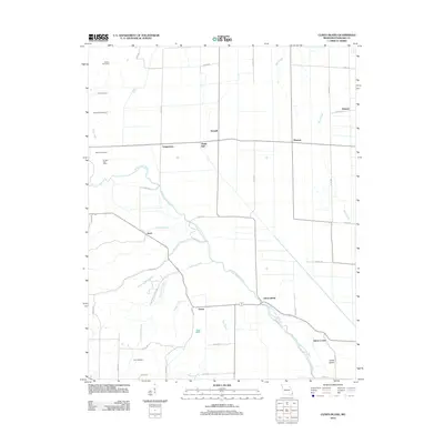 2012 Clines Island2012 Print · USGSStoddard County's agricultural heartland is documented in the early twenty-first century, showing a landscape defined by drainage sloughs and rural crossroads. Researchers can trace family history through local sites like Moore Cemetery and old community hubs such as Guam and Bridges Post Office.
 - 2012 Map of Bernie, 2012 Print
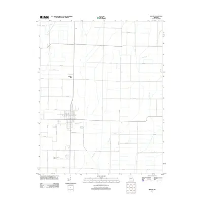 2012 Bernie2012 Print · USGSStoddard County is seen here in the early twenty-first century, centered on the grid-patterned town of Bernie. Local historians can trace family ties at Poplin Cemetery or locate the site of Poplin School and the outlying settlement of Bunker Hill.
 - 2012 Map of Essex, 2012 Print
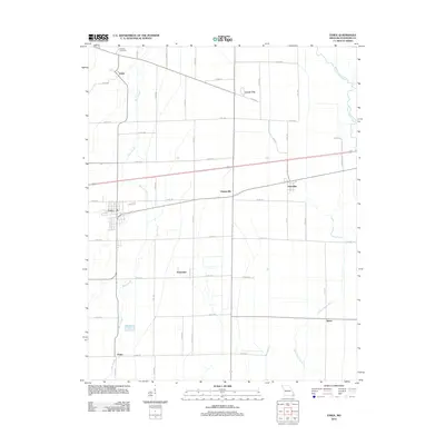 2012 Essex2012 Print · USGSStoddard County is captured here in the early twenty-first century, showing a landscape shaped by the drainage of the Missouri Bootheel. Genealogists can locate family landmarks at Bluff Hill Cemetery and trace the small communities of Grayridge, Idalia, and Essex.
 - 2015 Map of Fisk, 2015 Print
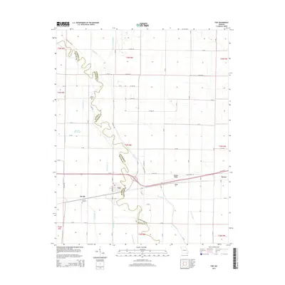 2015 Fisk2015 Print · USGSThe Butler and Stoddard county line is defined by the winding Saint Francis River in this modern 2015 survey of the Missouri bootheel region. Genealogists and local historians can trace the rural communities of Fisk, Ash Hill, and Green Oaks alongside historic sites like Ash Hills Cemetery.
Showing maps 1-25 of 96
Top cities of Stoddard County
- Dexter historical maps
- Bloomfield historical maps
- Bernie historical maps
- Advance historical maps
- Puxico historical maps
- Essex historical maps
See more
Frequently asked questions
- What are the different types of historical maps available for Stoddard County?
- What is the oldest map of Stoddard County?
- Where can I purchase historical maps of Stoddard County for my home or office?
- Where can I download high-res historical maps of Stoddard County?
- Are there historical topographic maps available for Stoddard County?
- Is there historical aerial imagery available for Stoddard County?
- Where are historical maps of Stoddard County sourced from?