2020s Maps of Washington County, Missouri
Explore 21 historic maps of Washington County from the 2020s. These maps offer a rare glimpse into what life looked like during the 2020s — showing old roads, neighborhoods, homes, and landmarks that have changed or disappeared over time.
Whether you're researching your family's past, planning a metal detecting trip, or studying how Washington County's landscape evolved across the 2020s, these high-resolution maps are a powerful tool for exploring the history of this region.
- Focus on a specific era: All maps on this page are from the 2020s, giving you a focused view of this time period.
- See what’s changed: Compare century-old streets, trails, and buildings to today's modern landscape using overlays and satellite layers.
- Research with precision: Use these maps for genealogy, historical research, land use analysis, or educational projects.
- View, download, or print: Maps are fully viewable online in high resolution, and can be downloaded or printed for your own records.
Start exploring Washington County's history through authentic maps from the 2020s. This is your window into the past.
Washington County, MO maps
(21)- 2021 Map of Graniteville, 2021 Print
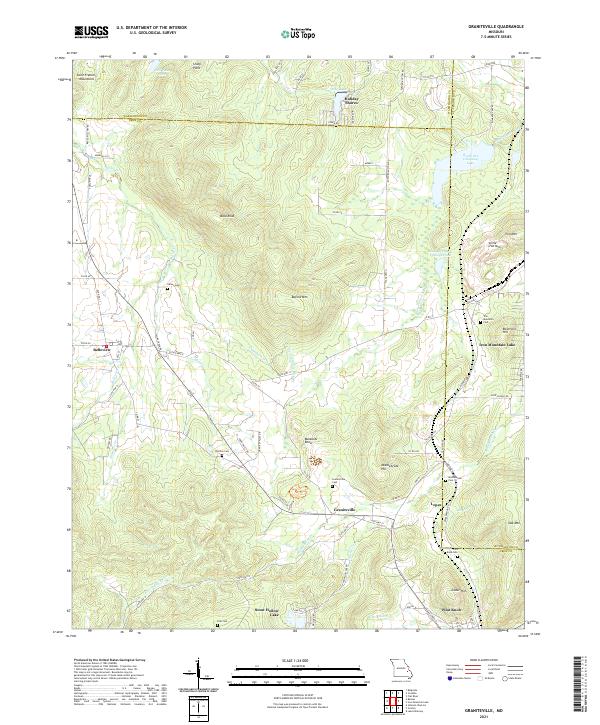 2021 Graniteville2021 Print · USGSThe mining and mountain heritage of Iron County is preserved here in the early twenty-first century. Researchers can trace family roots through numerous sites like Graniteville Cem, Middlebrook Cem, and the old residential lanes of Belleview.
 - 2021 Map of Belgrade, 2021 Print
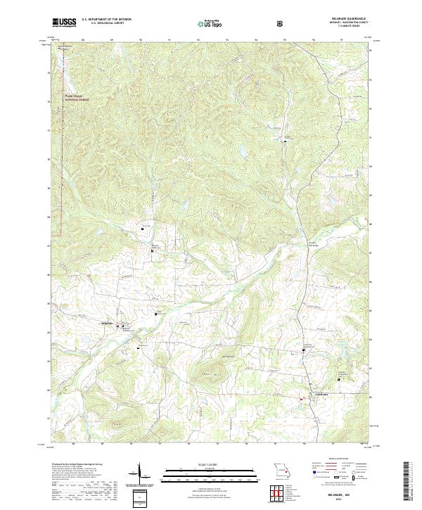 2021 Belgrade2021 Print · USGSThe valleys of the Big River and Saint Francois Mountains appear in the early 2020s. Genealogists can trace family heritage at Bellevue Presbyterian Cem, Bennett Bryan Cem, and the historic bridge at Hunters Mill Bridge.
 - 2021 Map of Berryman, 2021 Print
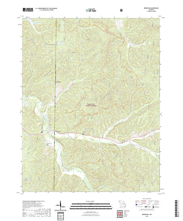 2021 Berryman2021 Print · USGSThe Missouri Ozarks are revealed in great detail during the early twenty-first century, centering on the quiet crossroads of Berryman. Researchers can trace old family burial grounds like Whitby Ellis Cem and Dobkins Cem hidden among the hollows of the Mark Twain National Forest.
 - 2021 Map of Shirley, 2021 Print
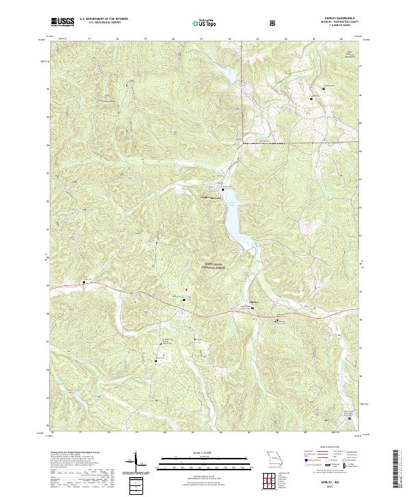 2021 Shirley2021 Print · USGSWashington County's highlands appear in detail during the early 2020s, showing a landscape defined by timber, recreation, and deep-rooted family ties. Genealogists can trace rural burials at Shirley Union Church Cem, Lakewood Cem, and White Oak Grove Cem.
 - 2021 Map of Mineral Point, 2021 Print
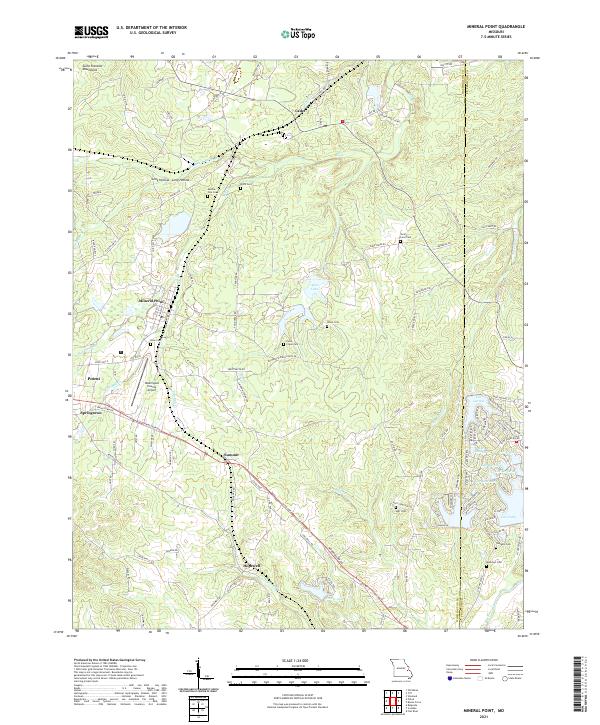 2021 Mineral Point2021 Print · USGSNear the eastern fringe of the Saint Francois Mountains in the 2020s, this area reflects a deep history of family settlement and rural development. Genealogists and historians can trace numerous rural burial grounds like Boas Cem and Westover Cem alongside established communities like Potosi and Mineral Point.
 - 2021 Map of Palmer, 2021 Print
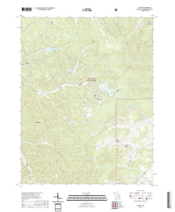 2021 Palmer2021 Print · USGSThe Missouri Ozarks are captured here during a period of modern forest management and rural preservation. Genealogists can trace family heritage through a remarkable number of local burial sites, including Jenkins Family Cem, Sitton Cem, and Sunlight Cem.
 - 2021 Map of Banner, 2021 Print
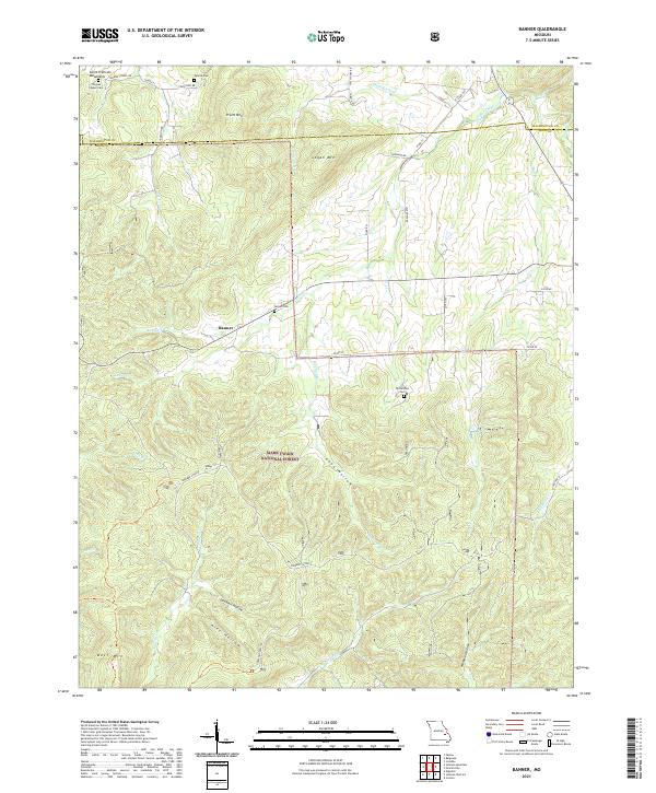 2021 Banner2021 Print · USGSThe Missouri Ozarks and the peaks of the Saint Francois Mountains appear here in the early twenty-first century. Researchers can locate remote family landmarks like Tullock Cem and Nelson Cem or trace the drainage of Shut-in Cr near Banner.
 - 2021 Map of Viburnum East, 2021 Print
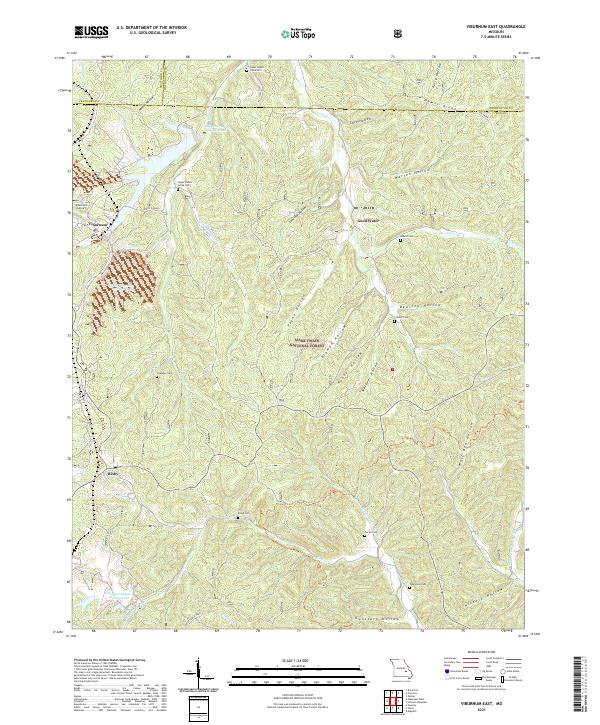 2021 Viburnum East2021 Print · USGSThe Missouri Lead Belt comes into focus during the early twenty-first century, centered on the mining hub of Viburnum. Genealogists can trace family roots through numerous burial sites like Pump Cem and Turner Cem or explore the rugged hollows of the Mark Twain National Forest.
 - 2021 Map of Potosi, 2021 Print
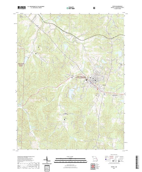 2021 Potosi2021 Print · USGSPotosi and the eastern edge of the Saint Francois Mountains are documented here in the early 2020s, showing a landscape shaped by long-standing settlements and lead mining history. Researchers can trace numerous burial sites like the Potosi Colored Cem or find local landmarks such as the Washington County Courthouse and Settle Mine Tailings Pond.
 - 2021 Map of Johnson Mountain, 2021 Print
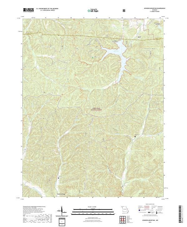 2021 Johnson Mountain2021 Print · USGSThe Missouri Ozarks are shown here in the early twenty-first century as the forest and river systems of the Saint Francois Mountains. Genealogists and hikers can locate Redmondville, the Terry Cem, and the prominent Council Bluff Lake.
 - 2021 Map of Courtois, 2021 Print
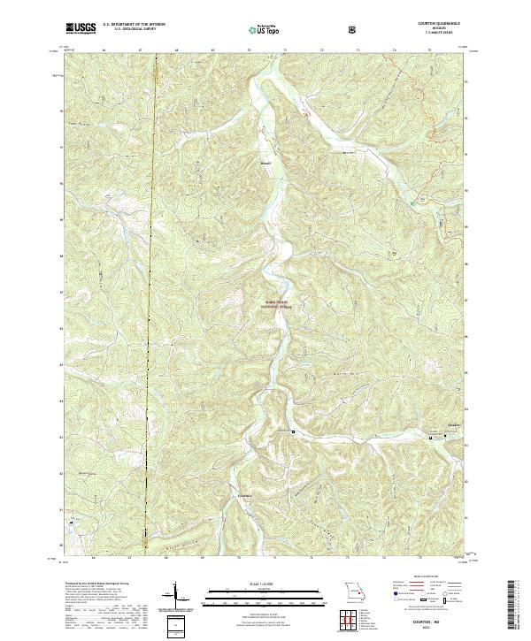 2021 Courtois2021 Print · USGSThe Courtois Creek hills of Washington and Crawford counties are shown here in the early twenty-first century. Genealogists and local historians can trace small rural settlements like Courtois and Brazil alongside old family burial sites like Jinkerson Cem.
 - 2021 Map of Irondale, 2021 Print
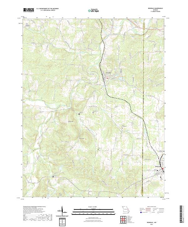 2021 Irondale2021 Print · USGSMissouri's ancient Saint Francois Mountains meet the Big River in the early twenty-first century, showcasing a landscape defined by deep-rooted family history. Genealogists can trace local lineages through several burial sites including Hughes Cemetery, Wallen Cemetery, and the Odd Fellows Cemetery.
 - 2021 Map of Cyclone Hollow, 2021 Print
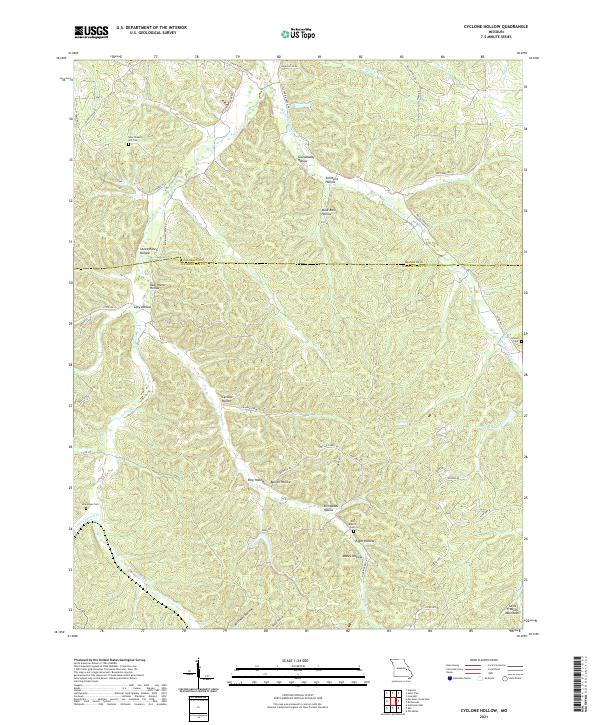 2021 Cyclone Hollow2021 Print · USGSWashington and Franklin counties appear here in the modern era, showing a landscape defined by the ridges and hollows of the eastern Ozarks. Researchers can trace local history through family-named sites like Granddaddy Hollow and historic burials at New Chapel Hill Cem or Arnold Cem.
 - 2021 Map of Fletcher, 2021 Print
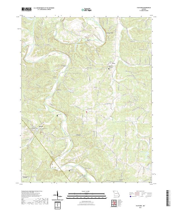 2021 Fletcher2021 Print · USGSIn the northeastern Ozarks, this modern survey captures the rural character and river-linked communities of Jefferson County. Researchers can trace ancestral sites at Pilgrims Rest Baptist Church Cem or locate the old settlements of Fletcher and Frumet.
 - 2021 Map of Old Mines, 2021 Print
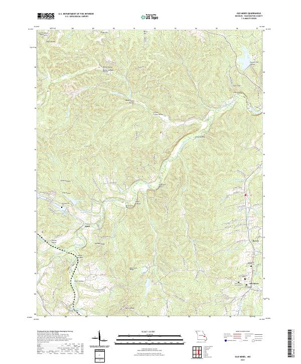 2021 Old Mines2021 Print · USGSWashington County at the dawn of the 2020s shows a landscape deeply tied to its mineral heritage and rural community roots. Researchers can trace family history at the three Saint Joachim Cem sites or explore landmarks like Old Mines, Racola, and Crystal Spring.
 - 2021 Map of Richwoods, 2021 Print
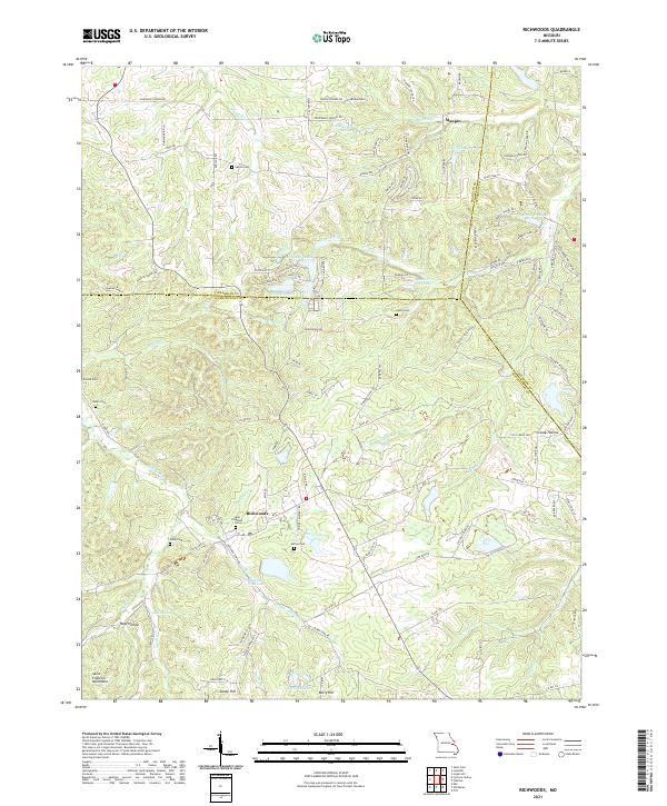 2021 Richwoods2021 Print · USGSRichwoods and the northern Saint Francois Mountains appear in detail during the early 2020s. Genealogists and local historians can locate numerous family burial sites such as Sparks Cem, Asplin Cem, and Horine Cem near settlements like Maupin.
 - 2021 Map of Ebo, 2021 Print
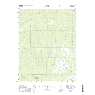 2021 Ebo2021 Print · USGSWashington County at the start of the 2020s remains a landscape of remote hollows and high ridges within the Ozark foothills. Genealogists can locate several family burial grounds, including Griggs Cemetery and Liberty Cemetery, alongside landmarks like Bear Wallow.
 - 2021 Map of Tiff, 2021 Print
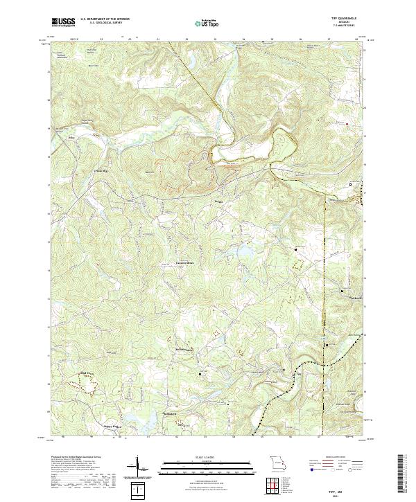 2021 Tiff2021 Print · USGSWashington County at the start of the 2020s shows a landscape deeply shaped by its mining and milling history. Researchers can trace rural lineages through the many family and community burial grounds like Goff Cem and Pinson Cem, or locate old settlements such as Bliss and Bellefontaine.
 - 2021 Map of Anthonies Mill, 2021 Print
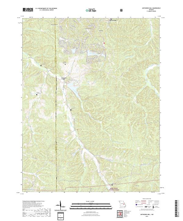 2021 Anthonies Mill2021 Print · USGSThe Crawford and Washington County line in 2021 remains a landscape of deep family roots and forest hollows. Researchers can trace local genealogy at Anthonies Mill Cem and Harmon Family Cem or explore the rugged reaches of the Mark Twain National Forest.
 - 2021 Map of Meramec State Park, 2021 Print
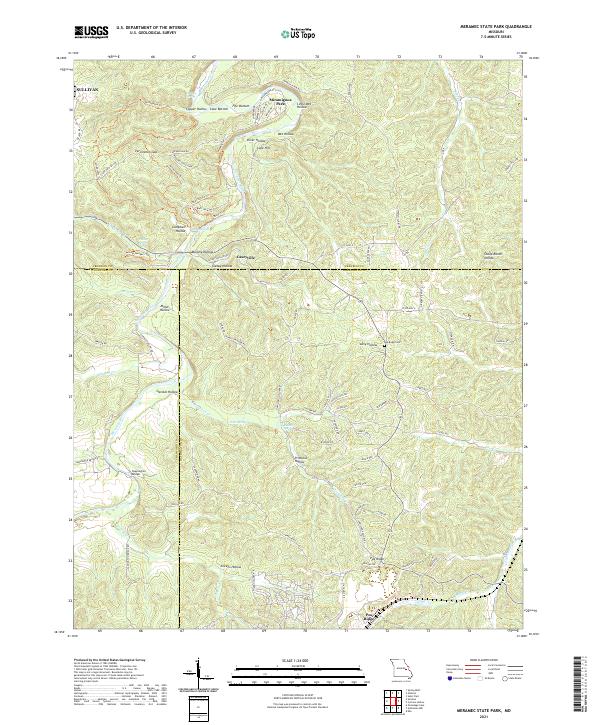 2021 Meramec State Park2021 Print · USGSThe Meramec River corridor and the ridges of the Ozarks are captured here during the early 2020s. Researchers can locate family landmarks like Pea Ridge Cem, the settlement of Caseyville, and historic river crossings at Sappington Bridge.
 - 2023 Map of Ebo, 2023 Print
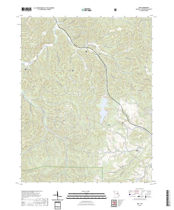 2023 Ebo2023 Print · USGSThe foothills of the Saint Francois Mountains appear in high detail in this modern survey of Washington County. Genealogists can trace family heritage through numerous remote burial grounds including Fourche a Renault Cem and Griggs Cem.
End of results
Showing maps 1-21 of 21
Top cities of Washington County
- Potosi historical maps
- Irondale historical maps
- Mineral Point historical maps
- Caledonia historical maps
Frequently asked questions
- What are the different types of historical maps available for Washington County?
- What is the oldest map of Washington County?
- Where can I purchase historical maps of Washington County for my home or office?
- Where can I download high-res historical maps of Washington County?
- Are there historical topographic maps available for Washington County?
- Is there historical aerial imagery available for Washington County?
- Where are historical maps of Washington County sourced from?