2010s Maps of Washington County, Missouri
Explore 60 historic maps of Washington County from the 2010s. These maps offer a rare glimpse into what life looked like during the 2010s — showing old roads, neighborhoods, homes, and landmarks that have changed or disappeared over time.
Whether you're researching your family's past, planning a metal detecting trip, or studying how Washington County's landscape evolved across the 2010s, these high-resolution maps are a powerful tool for exploring the history of this region.
- Focus on a specific era: All maps on this page are from the 2010s, giving you a focused view of this time period.
- See what’s changed: Compare century-old streets, trails, and buildings to today's modern landscape using overlays and satellite layers.
- Research with precision: Use these maps for genealogy, historical research, land use analysis, or educational projects.
- View, download, or print: Maps are fully viewable online in high resolution, and can be downloaded or printed for your own records.
Start exploring Washington County's history through authentic maps from the 2010s. This is your window into the past.
Washington County, MO maps
(60)- 2011 Map of Belgrade, 2011 Print
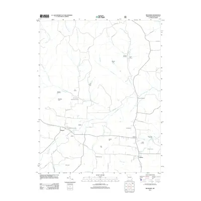 2011 Belgrade2011 Print · USGSEastern Missouri's Big River valley is documented here at the turn of the century, centered on the historic crossroads of Belgrade and Caledonia. Genealogists and historians can trace family ties through several local burial grounds like Jane Bryan Cemetery and explore remnants of early industry at the Bryan Gristmill.
 - 2011 Map of Johnson Mountain, 2011 Print
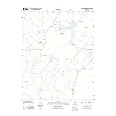 2011 Johnson Mountain2011 Print · USGSIron County’s wooded hills and water systems are documented in the early twenty-first century, centered on the Council Bluff Lake reservoir. Genealogists and local historians can trace the locations of Maxwells Mill, Redmondville, and the Rencehausen Cemetery.
 - 2011 Map of Banner, 2011 Print
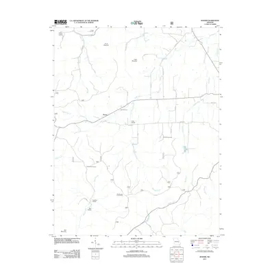 2011 Banner2011 Print · USGSIron County’s wooded ridges and rural crossroads come into focus during the early twenty-first century. Genealogists and local historians can trace family ties through several burial sites including Thomas Chapel and Nelson Cemetery, or locate the Bell Mountain Lookout Tower.
 - 2011 Map of Palmer, 2011 Print
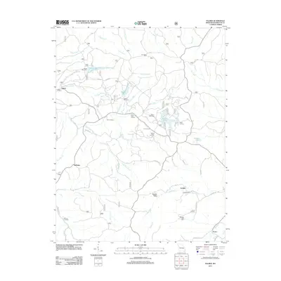 2011 Palmer2011 Print · USGSThe mining landscape of rural Missouri is captured here in the early twenty-first century. Genealogists can trace family roots through numerous sites like Jenkins Family Cemetery, Horton Town, and historical industrial features such as Parole Mine Dam.
 - 2011 Map of Graniteville, 2011 Print
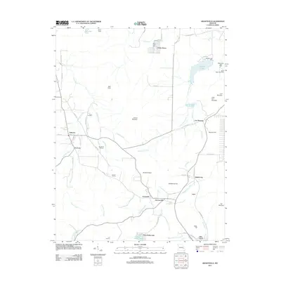 2011 Graniteville2011 Print · USGSThe Missouri Ozarks are captured here during a period of transition between its deep industrial roots and modern recreation. Researchers can trace family history through the Edison Cemetery or examine the mining legacy at Iron Mountain and Graniteville.
 - 2011 Map of Irondale, 2011 Print
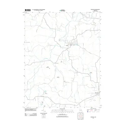 2011 Irondale2011 Print · USGSThe Big River valley in eastern Missouri shows a mix of residential growth and long-held family lands during the early twenty-first century. Genealogists and hikers can trace paths to Hughes Mountain, locate the Big River Cemetery, or find McCormack Ford.
 - 2011 Map of Shirley, 2011 Print
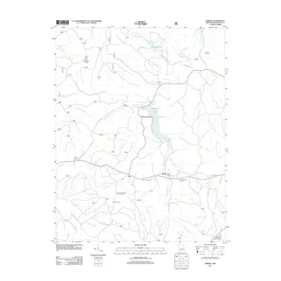 2011 Shirley2011 Print · USGSThe rural landscapes of Washington County are captured here just over a decade ago, showing the area around Sunnen Lake and the Fourche a Renault. Genealogists can trace family roots through several local burial sites like Stephens Cemetery, Blount Cemetery, and Lost Creek Cemetery.
 - 2011 Map of Potosi, 2011 Print
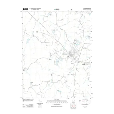 2011 Potosi2011 Print · USGSPotosi and its surrounding Washington County landscape are captured here in the early twenty-first century. Genealogists and local historians can trace numerous family and community sites, including the Potosi Colored Cemetery, Bates Creek Camp, and the Settle Mine Tailings Pond.
 - 2011 Map of Courtois, 2011 Print
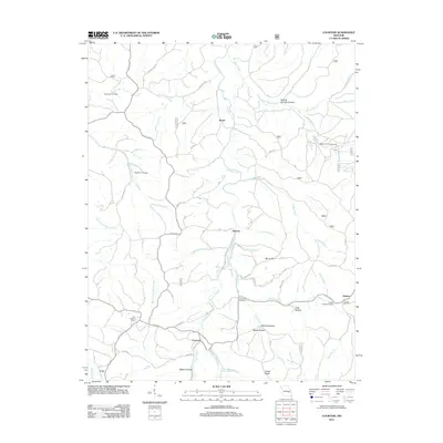 2011 Courtois2011 Print · USGSThe Missouri Ozarks are revealed here in the early twenty-first century, showing a landscape defined by winding creek valleys and dispersed rural communities. Genealogists can locate family landmarks like Jinkerson Cemetery, Antioch Cemetery, and the settlement of Ishmael.
 - 2011 Map of Berryman, 2011 Print
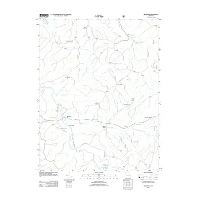 2011 Berryman2011 Print · USGSBerryman and its timbered hollows are captured here at the start of the 2010s, showcasing a landscape defined by forest recreation and family history. Researchers can trace ancestral sites at Dobkins Cemetery and Whitby-Ellis Cemetery or locate industrial markers like Davis Sawmill.
 - 2011 Map of Viburnum East, 2011 Print
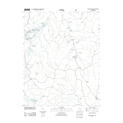 2011 Viburnum East2011 Print · USGSThe Missouri lead belt is revealed in this early twenty-first-century survey, showcasing a landscape shaped by mining and rural settlement. Genealogists and historians can trace family locations through Abbott Cemetery, Turner Cemetery, and the small community of Bixby.
 - 2012 Map of Richwoods, 2012 Print
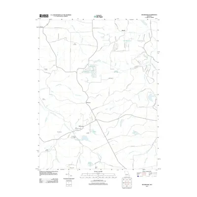 2012 Richwoods2012 Print · USGSRichwoods and the rural stretches of eastern Missouri are captured here just after the turn of the century. Genealogists and historians can trace local family lineages through Saint Stephens Cemetery or locate the site of the Edmonds and Wilcox Furnace and Mill.
 - 2012 Map of Mineral Point, 2012 Print
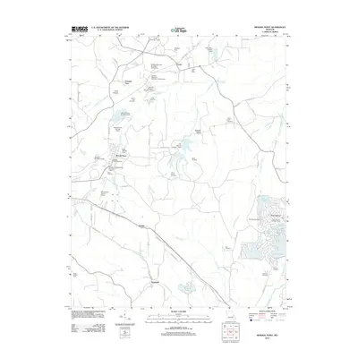 2012 Mineral Point2012 Print · USGSMineral Point and the surrounding Washington County hills show a landscape shaped by both mineral works and modern lakeside development. Genealogists and historians can trace family roots at the Boas Cemetery or explore the industrial legacy of the Black Tailings Dam.
 - 2012 Map of Tiff, 2012 Print
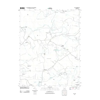 2012 Tiff2012 Print · USGSWashington County at the start of the 2010s reveals a landscape shaped by the Big River and a history of rural mining and industry. Genealogists and historians can trace family roots through Politte Cemetery and Saint Joseph Cemetery or locate old community sites like Cannon Mines and Cruise Mill.
 - 2012 Map of Cyclone Hollow, 2012 Print
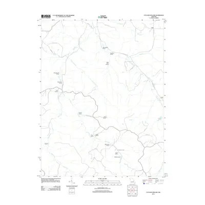 2012 Cyclone Hollow2012 Print · USGSThe rural landscape near Franklin County, Missouri, is revealed in this early twenty-first-century survey. Genealogists and local historians can trace family roots at New Hope Cemetery and Arnold Cemetery or locate the site of James Bakers Sawmill near Huff.
 - 2012 Map of Old Mines, 2012 Print
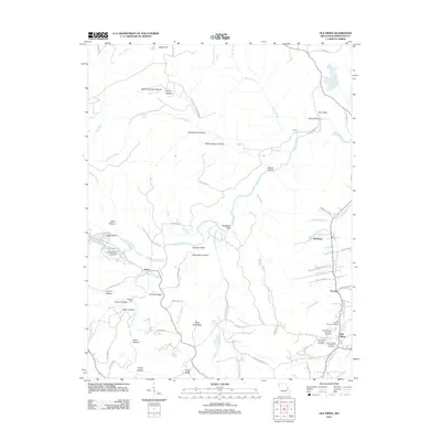 2012 Old Mines2012 Print · USGSThe Missouri lead belt is revealed in this early 21st-century survey, centered on the historic French-settled community of Old Mines. Genealogists can trace family heritage through several burial sites including Saint Joachim Cemetery and find old landmarks like Lumkins Mill or Aptus.
 - 2012 Map of Fletcher, 2012 Print
 2012 Fletcher2012 Print · USGSJefferson County rural life continues along the Big River in this 2010s-era survey. Genealogists and local historians can trace the positions of several family landmarks, including Stafford Cemetery, Cottage Farm, and the settlement at Frumet.
 - 2012 Map of Ebo, 2012 Print
 2012 Ebo2012 Print · USGSThe rural uplands of Washington County are shown here in the early twenty-first century, centered on the historic settlement of Ebo. Genealogists and local historians can trace family locations through several burial sites like Souls Chapel Cemetery and landmarks such as John Flynns Sawmill.
 - 2012 Map of Anthonies Mill, 2012 Print
 2012 Anthonies Mill2012 Print · USGSThe Anthonies Mill area in the early twenty-first century shows a landscape of modern residential clusters set against traditional Ozark hollows. Genealogists can locate several historic burial sites like Swan Cemetery and Anthonie's Mill Cemetery along the banks of Brazil Creek.
 - 2012 Map of Meramec State Park, 2012 Print
 2012 Meramec State Park2012 Print · USGSThe Meramec River valley in the early twenty-first century reveals a landscape shaped by conservation and old river crossings. Genealogists and local historians can trace family sites near Pea Ridge Cemetery, the Reedville School, and former industrial sites like the Old Hamilton Works.
 - 2015 Map of Fletcher, 2015 Print
 2015 Fletcher2015 Print · USGSBig River Township in the mid-2010s shows a landscape of family-named hollows and historic rural settlements. Genealogists can locate family landmarks like Maness Cemetery, Stafford Cemetery, and the community of Fletcher along the river's winding path.
 - 2015 Map of Richwoods, 2015 Print
 2015 Richwoods2015 Print · USGSThe Missouri Ozark foothills are documented here during the mid-2010s, spanning the borders of Franklin, Washington, and Jefferson counties. Genealogists can locate numerous rural burial sites like Saint Stephens Cemetery and Asplin Cemetery, or trace the winding course of Little Indian Cr.
 - 2015 Map of Ebo, 2015 Print
 2015 Ebo2015 Print · USGSThe highland community of Ebo and the surrounding national forest lands are documented here during a period of modern mapping that preserves many historic rural landmarks. Researchers can trace ancestral locations through numerous small family plots like Griggs Cemetery, Yarbrough Cemetery, and the Souls Chapel Cemetery.
 - 2015 Map of Cyclone Hollow, 2015 Print
 2015 Cyclone Hollow2015 Print · USGSAlong the border of Franklin and Washington Counties in the Missouri Ozarks, this modern survey shows a landscape defined by deep-rooted family landmarks. Genealogists can trace burial grounds like New Chapel Hill Cemetery and Dry Branch Cemetery or locate the settlement of Huff.
 - 2015 Map of Old Mines, 2015 Print
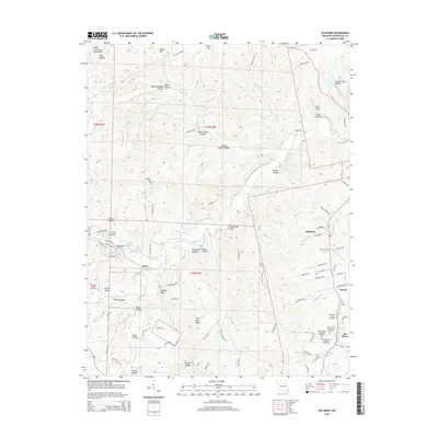 2015 Old Mines2015 Print · USGSThe Lead Belt of Missouri comes to life in this modern survey of the Washington County hills. Genealogists can trace family roots through several local burial grounds, including Saint Joachim Cemetery Number 1 and Higginbotham Cemetery, or explore the historic settlements of Old Mines and Aptus.
Showing maps 1-25 of 60
Top cities of Washington County
- Potosi historical maps
- Irondale historical maps
- Mineral Point historical maps
- Caledonia historical maps
Frequently asked questions
- What are the different types of historical maps available for Washington County?
- What is the oldest map of Washington County?
- Where can I purchase historical maps of Washington County for my home or office?
- Where can I download high-res historical maps of Washington County?
- Are there historical topographic maps available for Washington County?
- Is there historical aerial imagery available for Washington County?
- Where are historical maps of Washington County sourced from?