2000s (21st Century) Maps of Broadwater County, Montana
Explore 234 historic maps of Broadwater County from the 2000s (21st Century). These maps offer a rare glimpse into what life looked like during the 2000s — showing old roads, neighborhoods, homes, and landmarks that have changed or disappeared over time.
Whether you're researching your family's past, planning a metal detecting trip, or studying how Broadwater County's landscape evolved across the 2000s, these high-resolution maps are a powerful tool for exploring the history of this region.
- Focus on a specific era: All maps on this page are from the 2000s, giving you a focused view of this time period.
- See what’s changed: Compare century-old streets, trails, and buildings to today's modern landscape using overlays and satellite layers.
- Research with precision: Use these maps for genealogy, historical research, land use analysis, or educational projects.
- View, download, or print: Maps are fully viewable online in high resolution, and can be downloaded or printed for your own records.
Start exploring Broadwater County's history through authentic maps from the 2000s. This is your window into the past.
Broadwater County, MT maps
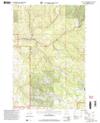
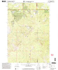
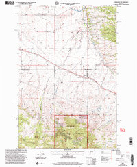
(234)- 2001 Map of Giant Hill, 2004 Print
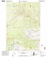
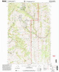 2001 Giant Hill2004 Print · USGSThe Helena National Forest backcountry comes into focus at the turn of the century, highlighting a landscape shaped by mining and springs. Researchers can trace the layout of the Diamond Hill Mine or locate high-country landmarks like Eagle Guard Station and Glendale Butte.
 - 2001 Map of Battle Mountain, 2004 Print
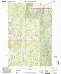
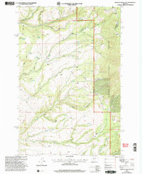
 2001 Battle Mountain2004 Print · USGSMeagher County at the start of the 2000s shows a landscape of high forest ridges and deep mountain drainages. Researchers can trace the boundaries of the Helena National Forest and locate specific high-country landmarks like Battle Mountain and Klondike Pass.
 - 2001 Map of Devils Fence, 2004 Print
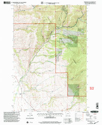
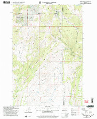 2001 Devils Fence2004 Print · USGSThe high Divide country between Jefferson and Broadwater counties is captured here at the turn of the millennium, revealing a rugged working landscape. Researchers can trace old mountain roads to Doughty Ranch, Kimpton Cow Camp, and numerous prospects.
 - 2001 Map of Sixmile Mountain, 2004 Print
 2001 Sixmile Mountain2004 Print · USGSBroadwater and Gallatin Counties at the turn of the millennium are defined here by high-country ranching and forest management. Researchers can trace land use through named sites like Koenig Ranch, Daniels Cow Camp, and scattered Prospects near Sixmile Mountain.
 - 2001 Map of Winston, 2004 Print
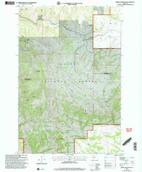
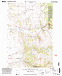
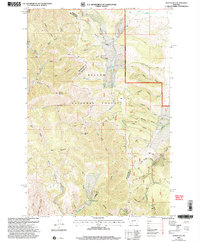
 2001 Winston2004 Print · USGSBroadwater County’s mining and ranching heritage is preserved here in the years following the turn of the millennium. Researchers can trace the extensive legacy of the East Pacific Mine and Kleinschmidt Mine or locate early landmarks like Whitehead Ranch and the community of Winston.
 - 2001 Map of Lingshire, 2004 Print
 2001 Lingshire2004 Print · USGSMeagher County at the dawn of the 21st century reveals a landscape of high forest and deep gulches. Local historians can trace old mountain tracks and named water sources like Crystal Spring, Moonshine Gulch, and the remote settlement of Lingshire.
 - 2001 Map of Watson, 2004 Print
 2001 Watson2004 Print · USGSMeagher and Broadwater counties meet in this high-country survey of the Helena National Forest at the turn of the millennium. Researchers can trace historic land use through labels like Lambing Camp Gl, the settlement at Watson, and mining evidence near Democrat Gulch.
 - 2001 Map of Sulphur Bar Creek, 2004 Print
 2001 Sulphur Bar Creek2004 Print · USGSThis part of the Big Belt Mountains was surveyed at the start of the 2000s, showing a landscape defined by timber, trails, and high-altitude gulches. Genealogists and historians can trace the Flathead Indian Trail or locate remote mines near Munding Flat.
 - 2001 Map of Lippert Gulch, 2004 Print
 2001 Lippert Gulch2004 Print · USGSBroadwater County ranching culture is well-documented in this turn-of-the-millennium survey of the Big Belt Mountains. Genealogists and local historians can trace legacy holdings like the Walter Ranch and Kleckbusch Ranch along the waters of Deep Creek.
 - 2001 Map of Holker, 2004 Print
 2001 Holker2004 Print · USGSBroadwater County ranching and water infrastructure are documented here at the turn of the century. Genealogists and local historians can trace family landmarks like Welch Ranch alongside Deep Creek Cem and the small settlement of Holker.
 - 2001 Map of Hellgate Gulch, 2004 Print
 2001 Hellgate Gulch2004 Print · USGSBroadwater County’s rugged canyon country is captured here at the start of the millennium within the Helena National Forest. Researchers can locate mining history at the Argo Mine and trace the named drainages of Hellgate Gulch and Avalanche Gulch.
 - 2001 Map of Crow Creek Falls, 2004 Print
 2001 Crow Creek Falls2004 Print · USGSThe Elkhorn Mountains of Montana are revealed in the early 2000s, showing a high-country landscape shaped by mining and national forest management. Researchers can locate remote sites like the Callahan Mine, Crow Creek Falls, and South Fork Lakes.
 - 2001 Map of Mount Edith, 2004 Print
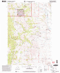
 2001 Mount Edith2004 Print · USGSThe Montana high country near the Meagher and Broadwater county line is documented here just after the turn of the millennium. Hikers and historians can trace the paths to Mount Edith, locate remote Prospects, and find high-alpine waters like Edith Lake.
 - 2001 Map of Canyon Ferry, 2004 Print
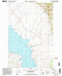
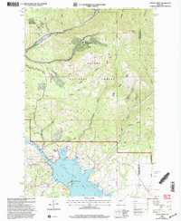 2001 Canyon Ferry2004 Print · USGSThe Missouri River valley near the Lewis and Clark and Broadwater county line is shown here at the start of the new millennium. Researchers can trace the industrial footprint of the Golden Messenger Mine and locate shoreline features like Chinaman Cove and Cemetery Hill.
 - 2001 Map of Boulder Baldy, 2004 Print
 2001 Boulder Baldy2004 Print · USGSThe high Big Belt Mountains are captured here at the turn of the millennium, showing a landscape of steep timber and alpine lakes. Researchers can trace historic access routes and water drainages like Confederate Gulch, Camas Lake, and Boulder Baldy.
 - 2001 Map of Deer Park, 2004 Print
 2001 Deer Park2004 Print · USGSThe high Montana backcountry of Broadwater and Gallatin counties is captured here in the early 2000s. Genealogists and local historians can trace the rugged drainages of Sixteenmile Creek, locate Deer Park, and explore the named ravines of the Helena National Forest.
 - 2001 Map of Casey Peak, 2004 Print
 2001 Casey Peak2004 Print · USGSThe high Elkhorn mountains are captured here at the start of the 21st century, showing a landscape of steep peaks and remote forest parks. Hikers and historians can trace the headwaters of Mc Clellan Creek and locate historic mining sites like the Mine Shaft Prospect.
 - 2001 Map of Diamond City, 2004 Print
 2001 Diamond City2004 Print · USGSBroadwater County gold country is documented here at the start of the millennium, showing the intersection of forest service lands and mining history. Researchers can locate the Diamond City townsite, the Diamond City Cem, and the Johnson Sch.
 - 2001 Map of Canyon Ferry SE, 2004 Print
 2001 Canyon Ferry SE2004 Print · USGSCanyon Ferry Lake and the Missouri River corridor are shown at the turn of the millennium during a period of recreational growth. Local researchers can trace lakeside developments like the Landing Strip at Goose Bay or explore the rugged drainage of Confederate Gulch.
 - 2001 Map of Gurnett Creek East, 2004 Print
 2001 Gurnett Creek East2004 Print · USGSBroadwater and Meagher counties meet in the high country of the Helena National Forest at the start of the twenty-first century. Genealogists and local historians can trace legacy holdings like the Walters Ranch, Smith Ranch, and the isolated Grain Bins dotting the gulches.
 - 2001 Map of Louisville, 2004 Print
 2001 Louisville2004 Print · USGSIn the hills east of Helena at the start of the millennium, this map shows a rural landscape where industry and agriculture meet. Genealogists and researchers can trace the vicinity of Louisville and Clasoil, find the Spokane Creek School, and locate the Economy Mine.
 - 2001 Map of Whites City, 2004 Print
 2001 Whites City2004 Print · USGSThe high gulches of Broadwater and Meagher Counties come into focus in this late twentieth-century study of the Helena National Forest. Researchers can trace the drainages of White Gulch and Ready Cash Gulch, locating the Schaben Mine and the small settlement of Whites City.
 - 2001 Map of Townsend, 2004 Print
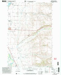
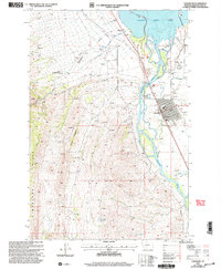 2001 Townsend2004 Print · USGSBroadwater County at the start of the millennium shows the intersection of Missouri River ranching and deep-seated mining history. Researchers can locate family landmarks like Warm Springs Cem and trace old industrial workings in the Limestone Hills and Whipcracker.
 - 2001 Map of Radersburg, 2004 Print
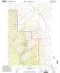
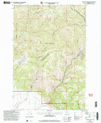
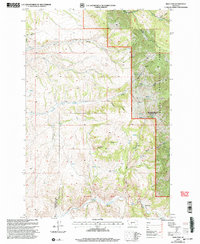
 2001 Radersburg2004 Print · USGSBroadwater County’s high-country mining districts are captured here as they appeared at the turn of the millennium. Researchers can trace historic claims and mineral workings like the Black Friday Mines, San Anita Mine, and the labyrinth of shafts near Radersburg.
 - 2011 Map of Willow Creek, 2011 Print
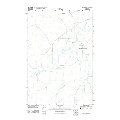 2011 Willow Creek2011 Print · USGSCovers Broadwater County, including Willow Creek, Gallatin County, and other nearby areas
Showing maps 1-25 of 234
Top cities of Broadwater County
Frequently asked questions
- What are the different types of historical maps available for Broadwater County?
- What is the oldest map of Broadwater County?
- Where can I purchase historical maps of Broadwater County for my home or office?
- Where can I download high-res historical maps of Broadwater County?
- Are there historical topographic maps available for Broadwater County?
- Is there historical aerial imagery available for Broadwater County?
- Where are historical maps of Broadwater County sourced from?