2010s Maps of Broadwater County, Montana
Explore 126 historic maps of Broadwater County from the 2010s. These maps offer a rare glimpse into what life looked like during the 2010s — showing old roads, neighborhoods, homes, and landmarks that have changed or disappeared over time.
Whether you're researching your family's past, planning a metal detecting trip, or studying how Broadwater County's landscape evolved across the 2010s, these high-resolution maps are a powerful tool for exploring the history of this region.
- Focus on a specific era: All maps on this page are from the 2010s, giving you a focused view of this time period.
- See what’s changed: Compare century-old streets, trails, and buildings to today's modern landscape using overlays and satellite layers.
- Research with precision: Use these maps for genealogy, historical research, land use analysis, or educational projects.
- View, download, or print: Maps are fully viewable online in high resolution, and can be downloaded or printed for your own records.
Start exploring Broadwater County's history through authentic maps from the 2010s. This is your window into the past.
Broadwater County, MT maps
(126)- 2011 Map of Willow Creek, 2011 Print
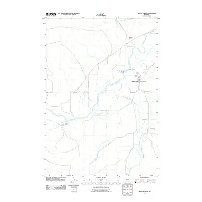 2011 Willow Creek2011 Print · USGSGallatin County settlement at the start of the twenty-first century centers on the fertile valley where the Jefferson River meets Willow Creek. Researchers can trace old routes like the Old Yellowstone Trl and find family sites at Mount Green Cemetery or Stateler Cemetery.
 - 2011 Map of Logan, 2011 Print
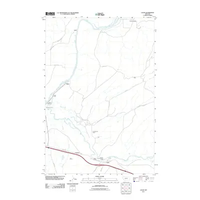 2011 Logan2011 Print · USGSThe confluence of the Missouri and Gallatin rivers is captured here just after the turn of the millennium. Trace family roots at Headwaters Cemetery or Logan Cemetery, and follow the historic path of the Northern Pacific Railroad Bridge.
 - 2011 Map of Three Forks, 2011 Print
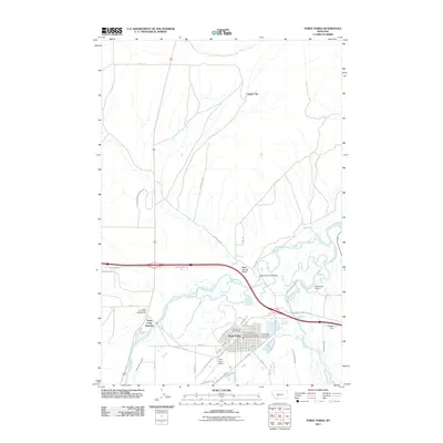 2011 Three Forks2011 Print · USGSThe headwaters of the Missouri River emerge in the early 21st century where the Jefferson River and Madison River meet. Trace local landmarks like Copper City, Three Forks Junction, and the Jefferson River Bridge as they define this historic valley.
 - 2011 Map of Milligan Canyon, 2011 Print
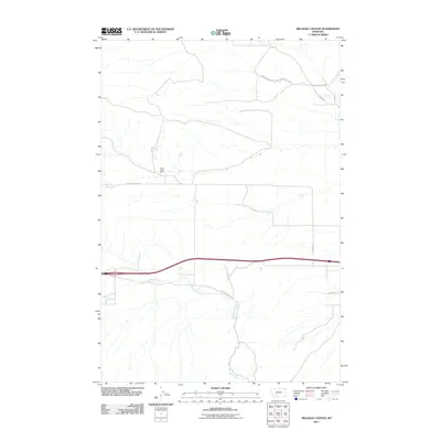 2011 Milligan Canyon2011 Print · USGSJefferson County ranch land is captured here in the early twenty-first century, showing the enduring rural layout of this canyon region. Researchers can locate the Silver Sage Ranch and trace local routes like Hidden Valley Rd and Shoddy Springs Rd.
 - 2011 Map of Hellgate Gulch, 2011 Print
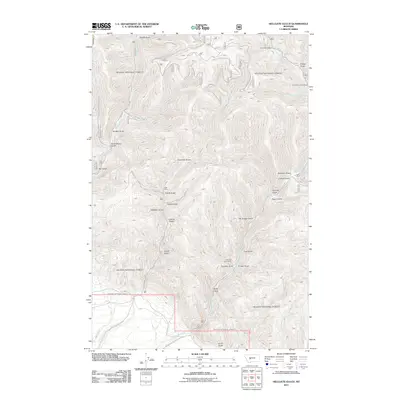 2011 Hellgate Gulch2011 Print · USGSThe mining corridors of Lewis and Clark County are clearly delineated in this early twenty-first-century survey. Trace the legacy of local extraction at the Argo Mine and Thompson Creek Mine or follow the routes of Magpie Gulch Rd.
 - 2011 Map of Francis, 2011 Print
 2011 Francis2011 Print · USGSGallatin County ranchlands and high-altitude terrain are documented here in the early twenty-first century. Genealogists and historians can trace family-named holdings such as Francis, Mitchell Ranch, and Doig Ranch tucked between Wall Mountain and the banks of Sixteenmile Creek.
 - 2011 Map of Townsend NE, 2011 Print
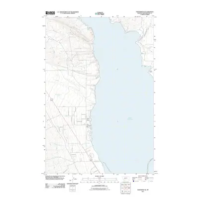 2011 Townsend NE2011 Print · USGSBroadwater County’s western shoreline was a hub for recreation and transit in the early twenty-first century. Researchers can trace family history at Fairview Cemetery or explore local infrastructure like Canyon Ferry Airport and the Broadwater Missouri Canal.
 - 2011 Map of Radersburg, 2011 Print
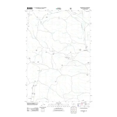 2011 Radersburg2011 Print · USGSMining operations and early water engineering dominate the Broadwater County landscape in the early twenty-first century. Researchers can trace historic claims from the Keating Mine to the North Home Mines, and follow local water rights through the Hollings Ditch.
 - 2011 Map of Crow Creek Falls, 2011 Print
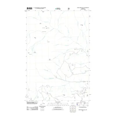 2011 Crow Creek Falls2011 Print · USGSJefferson County’s high-country mining district is captured here in the early twenty-first century, showing the legacy of deep-woods exploration. Genealogists and historians can locate remote claims like the Golden Age Mine, Ballard Mine, and the landmark Crow Creek Falls.
 - 2011 Map of Gurnett Creek West, 2011 Print
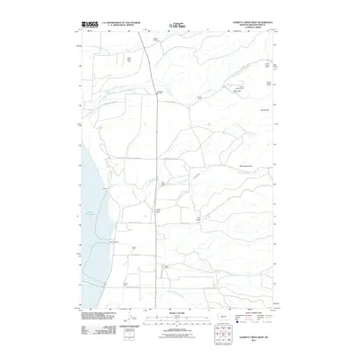 2011 Gurnett Creek West2011 Print · USGSBroadwater County ranchlands meet the eastern shores of Canyon Ferry Lake in this 2011 survey of the Montana interior. Genealogists and local historians can trace legacy family holdings like Doggett Ranch and locate early mining claims including the NW SE Section 5 Mine.
 - 2011 Map of Winston, 2011 Print
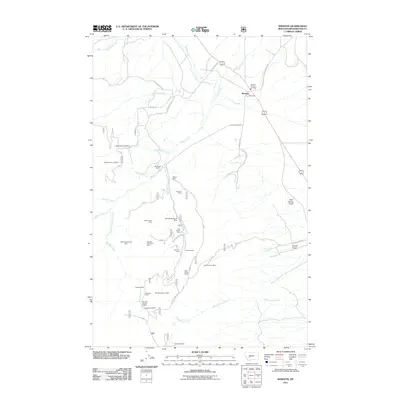 2011 Winston2011 Print · USGSBroadwater County’s mining heritage remains vividly etched into the landscape of the Winston area in the twenty-first century. Genealogists and historians can trace numerous named claims and landmarks like the East Pacific Mine, Whitehead Ranch, and the Kleinschmidt Mine.
 - 2011 Map of Canyon Ferry SE, 2011 Print
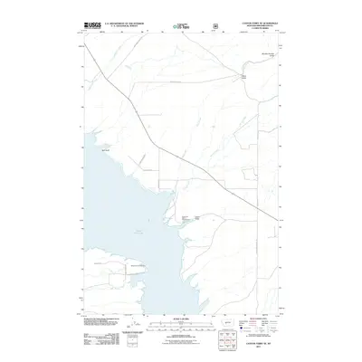 2011 Canyon Ferry SE2011 Print · USGSBroadwater County’s eastern shore of the lake is shown in detail during the early 2010s, highlighting the intersection of water and mountain gulches. Researchers can trace historical routes like the Overland Trl and find recreational sites such as Goose Bay Marina Campground.
 - 2011 Map of Roy Gulch, 2011 Print
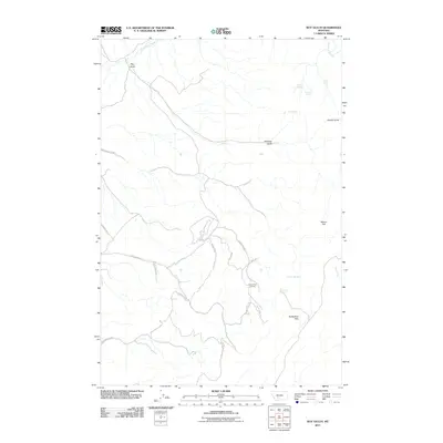 2011 Roy Gulch2011 Print · USGSGallatin County’s high country is captured here in the early twenty-first century, showing a landscape shaped by water and ranching. Genealogists and historians can trace family-named landmarks like Williams Spring, Ellison Flat, and the Round Pole Corrals.
 - 2011 Map of Sixmile Mountain, 2011 Print
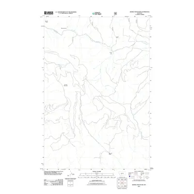 2011 Sixmile Mountain2011 Print · USGSGallatin County rangeland and drainage networks are meticulously documented in this early 21st-century survey. Genealogists and local historians can trace the remote operations of Koenig Ranch, Daniels Cow Camp, and the namesake Sixmile Mountain.
 - 2011 Map of Giant Hill, 2011 Print
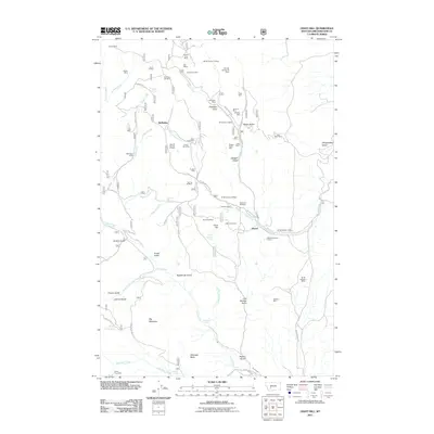 2011 Giant Hill2011 Print · USGSMining claims dominate the Broadwater County landscape in the early twenty-first century, showing a high density of named workings near the Elkhorn Mountains. You can trace the locations of the Saint Louis Mine, Diamond Hill Mine, and the old settlement site at Hassel.
 - 2011 Map of Lippert Gulch, 2011 Print
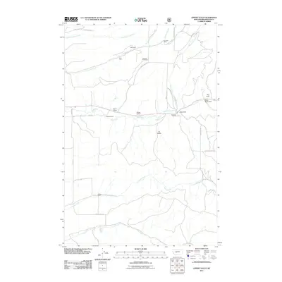 2011 Lippert Gulch2011 Print · USGSBroadwater County ranching country is documented in the early twenty-first century, showing a landscape defined by deep gulches and family-owned lands. Genealogists and historians can locate the Kieckbusch Homestead and trace the paths of Deep Creek and Lippert Gulch.
 - 2011 Map of Townsend, 2011 Print
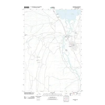 2011 Townsend2011 Print · USGSTownsend and the Missouri River valley are captured here in the early twenty-first century as the community balances its agricultural and industrial roots. Genealogists and researchers can locate the Centerville Cemetery, trace the Northern Pacific Train Bridge, and find the Little Hogback Mine.
 - 2011 Map of Diamond City, 2011 Print
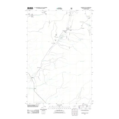 2011 Diamond City2011 Print · USGSDiamond City and its neighboring mining camps are preserved here in the early twenty-first century. Researchers can locate specific legacy claims such as Silver Snowflake Mine and Boom Mine or trace family history at the Diamond City Cemetery.
 - 2011 Map of Watson, 2011 Print
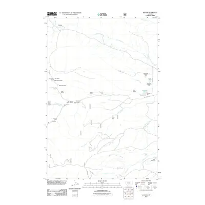 2011 Watson2011 Print · USGSMeagher County ranching and mining country is captured here in the early twenty-first century, showing a landscape defined by deep gulches and water management. Researchers can trace historic activity at the Vermont Creek Mine or follow the waters of Stoyanoff Lake and Keep Cool Creek.
 - 2011 Map of Deer Park, 2011 Print
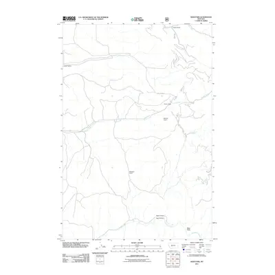 2011 Deer Park2011 Print · USGSDeer Park and the surrounding mountain canyons of Gallatin County appear in this modern survey of the high Missouri River headwaters. Trace the path of Sixmile Creek or locate local landmarks like A Frame Spring and Sawmill Gulch.
 - 2011 Map of Lombard, 2011 Print
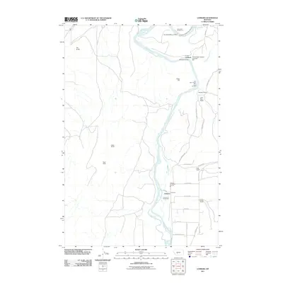 2011 Lombard2011 Print · USGSGallatin County's river-driven landscape is captured here in the early 2000s as the Missouri River dictates the local geography. Researchers can trace the industrial footprint of the Shaft Near Lombard Mine, the historic Milwaukee Bridge, and the small settlement of Clarkston.
 - 2011 Map of Louisville, 2011 Print
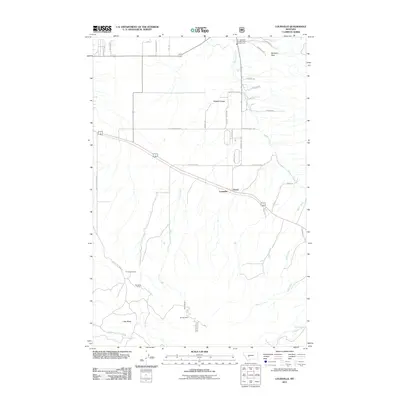 2011 Louisville2011 Print · USGSJefferson County was experiencing a transition from its mining roots to rural residential growth at the start of the decade. Genealogists and historians can trace the local landscape through landmarks like Turner Cemetery, Louisville, and the Economy Mine.
 - 2011 Map of Lingshire, 2011 Print
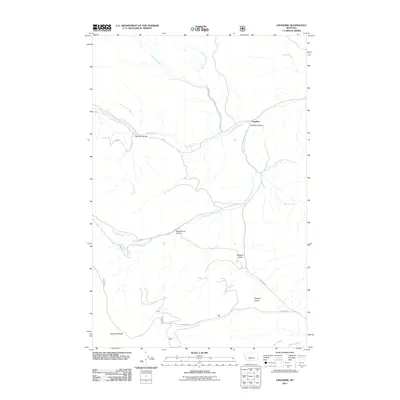 2011 Lingshire2011 Print · USGSMeagher County high country is mapped here in the early twenty-first century, showing the isolated settlement of Lingshire. Genealogists and hikers can trace the drainage of Rock Creek through Buffalo Canyon or locate Moonshine Gulch and Calamity Gulch.
 - 2011 Map of Battle Mountain, 2011 Print
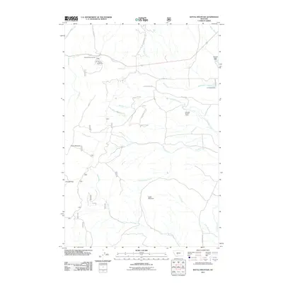 2011 Battle Mountain2011 Print · USGSBroadwater County’s high-country recreation and water management are front and center in this early twenty-first-century survey of the Big Belt area. Researchers can trace forest roads to the Grass Mountain Ski Area, Klondike Pass, and family-named landmarks like L Schendell Dam.
 - 2011 Map of Devils Fence, 2011 Print
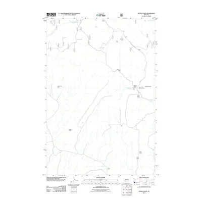 2011 Devils Fence2011 Print · USGSJefferson County ranchlands and mining claims are documented in the early twenty-first century as the landscape remains defined by its topography and water. Trace old operations at the Spar Mine or explore the geography of Doughty Ranch and Sagebrush Park.
Showing maps 1-25 of 126
Top cities of Broadwater County
Frequently asked questions
- What are the different types of historical maps available for Broadwater County?
- What is the oldest map of Broadwater County?
- Where can I purchase historical maps of Broadwater County for my home or office?
- Where can I download high-res historical maps of Broadwater County?
- Are there historical topographic maps available for Broadwater County?
- Is there historical aerial imagery available for Broadwater County?
- Where are historical maps of Broadwater County sourced from?