2020s Maps of Broadwater County, Montana
Explore 84 historic maps of Broadwater County from the 2020s. These maps offer a rare glimpse into what life looked like during the 2020s — showing old roads, neighborhoods, homes, and landmarks that have changed or disappeared over time.
Whether you're researching your family's past, planning a metal detecting trip, or studying how Broadwater County's landscape evolved across the 2020s, these high-resolution maps are a powerful tool for exploring the history of this region.
- Focus on a specific era: All maps on this page are from the 2020s, giving you a focused view of this time period.
- See what’s changed: Compare century-old streets, trails, and buildings to today's modern landscape using overlays and satellite layers.
- Research with precision: Use these maps for genealogy, historical research, land use analysis, or educational projects.
- View, download, or print: Maps are fully viewable online in high resolution, and can be downloaded or printed for your own records.
Start exploring Broadwater County's history through authentic maps from the 2020s. This is your window into the past.
Broadwater County, MT maps
(84)- 2020 Map of Lippert Gulch, 2020 Print
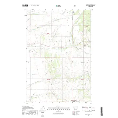 2020 Lippert Gulch2020 Print · USGSBroadwater County’s high country and forest boundaries are captured here in the years following the turn of the millennium. Researchers can trace the drainage of Deep Cr and locate remote landmarks like Clover Crest Airpark and Lippert Gulch.
 - 2020 Map of Giant Hill, 2020 Print
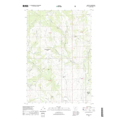 2020 Giant Hill2020 Print · USGSBroadwater County’s high country is revealed in this contemporary survey, centering on the historic site of Hassel and the eastern edge of the Helena National Forest. Researchers can trace the drainages of Crow Creek and Slim Sam Cr or locate family-named landmarks like Ribedeau Gulch and Aldrich Spring.
 - 2020 Map of Roy Gulch, 2020 Print
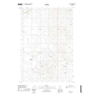 2020 Roy Gulch2020 Print · USGSThe Gallatin and Broadwater county line runs through this high-country landscape during the 2020s. Researchers can trace the winding drainage of Sixteenmile Cr and find named landmarks like Ponderosa Pines and the Horseshoe Hills.
 - 2020 Map of Winston, 2020 Print
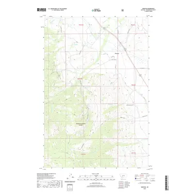 2020 Winston2020 Print · USGSBroadwater County’s rugged mountain interface is captured here in the contemporary era, centered on the ranching and forest lands near Winston. Researchers can trace old mountain routes like Pole Creek Rd and locate landmarks like Kelley Spring or Kimber Gulch.
 - 2020 Map of Radersburg, 2020 Print
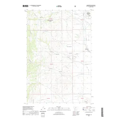 2020 Radersburg2020 Print · USGSBroadwater County ranching and mining country is captured here during the early twenty-first century. Researchers can trace the layout of Radersburg and explore local geography through named landmarks like Charity Gulch and the Limestone Hills.
 - 2020 Map of Louisville, 2020 Print
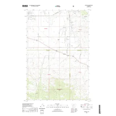 2020 Louisville2020 Print · USGSJefferson County ranchlands and the slopes of the Spokane Hills meet in this modern survey of the Louisville area. Genealogists and historians can trace family roots at Turner Cemetery and follow the routes through Mitchell Gulch and Clasoil.
 - 2020 Map of Townsend, 2020 Print
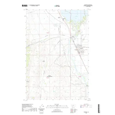 2020 Townsend2020 Print · USGSTownsend and the Missouri River valley are captured in this recent survey as they appear today. Researchers can locate the Broadwater County Courthouse, trace the rail line to the Northern Pacific Train Bridge, and find family history markers like Centerville Cem.
 - 2020 Map of Canyon Ferry SE, 2020 Print
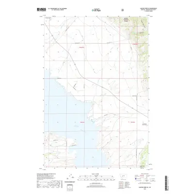 2020 Canyon Ferry SE2020 Print · USGSBroadwater County’s eastern shorelines and high-country gulches appear in detail during the early twenty-first century. Researchers can trace historic access routes like the Overland Trl near Goose Bay or explore the rugged topography of Confederate Gulch.
 - 2020 Map of Holker, 2020 Print
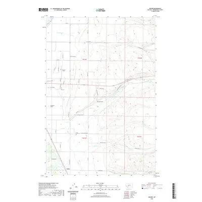 2020 Holker2020 Print · USGSThe Missouri River lowlands and eastern foothills are captured here in the early twenty-first century as irrigation and ranching shape the terrain. Genealogists and local historians can locate Deep Creek Cem, Holy Cross Cem, and the river features of Yorks Islands.
 - 2020 Map of Townsend NE, 2020 Print
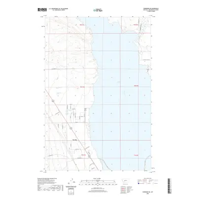 2020 Townsend NE2020 Print · USGSBroadwater County’s lakeside landscape comes into focus in this recent survey of the Big Belt foothills. Local researchers can trace the roads around The Silos, locate the Fairview Cem, and follow the path of the Broadwater-Missouri Canal.
 - 2020 Map of Lombard, 2020 Print
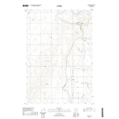 2020 Lombard2020 Print · USGSNear the Missouri River in Gallatin and Broadwater Counties, this contemporary survey shows a landscape defined by canyons and river crossings. Researchers can trace the legacy of rail and road through Lombard, the Milwaukee Bridge, and the grids of Clarkston.
 - 2020 Map of Plunket Lake, 2020 Print
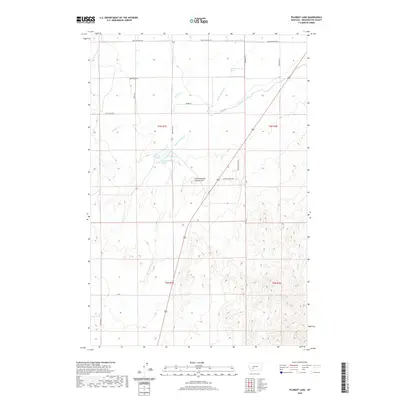 2020 Plunket Lake2020 Print · USGSBroadwater County ranching and water rights are recorded on this recent survey of the Missouri River valley foothills. Genealogists and researchers can trace local family landmarks and infrastructure like Plunket Lake, Mammoth Springs, and Toston Canal.
 - 2020 Map of Lingshire, 2020 Print
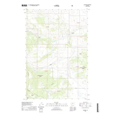 2020 Lingshire2020 Print · USGSMeagher County's high country is captured here during the 2020 survey, showing the remote settlement of Lingshire and the surrounding wilderness. Researchers can trace the rugged drainages of Calamity Gulch and Moonshine Gulch or locate the peaks of Avalanche Butte and the Dry Range.
 - 2020 Map of Willow Springs, 2020 Print
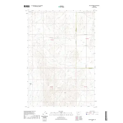 2020 Willow Springs2020 Print · USGSJefferson and Broadwater counties are mapped here in the early twenty-first century, showing the high-elevation divide between mountain peaks and river valleys. Trace the routes of Old Boulder Rd and Salt Gulch Rd past landmarks like Meyer Spring and Cooney Park.
 - 2020 Map of Deer Park, 2020 Print
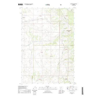 2020 Deer Park2020 Print · USGSThe mountain border of Broadwater and Gallatin counties comes into focus in the early 2020s, showing the high-country drainages of the Big Belt Mountains. Genealogists and researchers can trace the roads near Deer Park and Cedar Hollow, or locate named landmarks like Miners Gulch and Farley Spring.
 - 2020 Map of Battle Mountain, 2020 Print
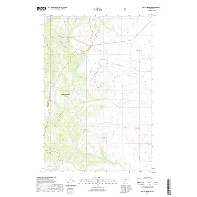 2020 Battle Mountain2020 Print · USGSBroadwater County’s high mountain terrain is captured here in the years following the turn of the millennium. Trace the paths of early travelers through Klondike Pass or follow the drainage of Battle Mountain Cr near Battle Mtn.
 - 2020 Map of Gurnett Creek East, 2020 Print
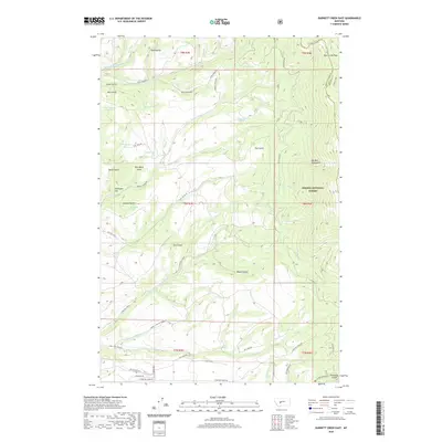 2020 Gurnett Creek East2020 Print · USGSThe high ridges of the Big Belt Mountains come alive in this 2020 landscape, documenting the springs and gulches of the Helena National Forest. Researchers can trace old mountain routes and water sources like Duck Creek Pass, Moonshine Spring, and Hooligans Hill.
 - 2020 Map of Alkali Lake, 2020 Print
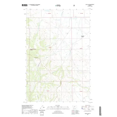 2020 Alkali Lake2020 Print · USGSMeagher County's high-country drainages and communal settlements are shown here during the early twenty-first century. Researchers can trace the layout of Springdale Colony or locate remote landmarks like Windy Ridge and Alkali Lake.
 - 2020 Map of Devils Fence, 2020 Print
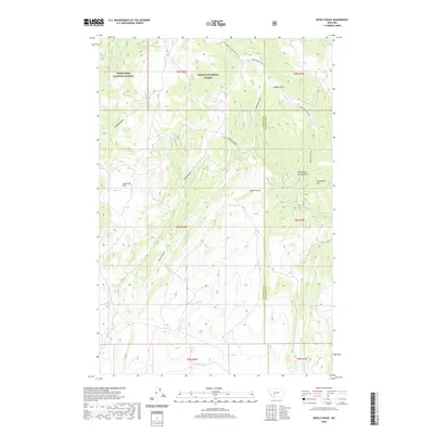 2020 Devils Fence2020 Print · USGSJefferson County's high ridges and national forest boundaries are captured here during the early twenty-first century. Genealogists and researchers can trace local landmarks like Devils Fence, Sagebrush Park, and the network of namesake springs including Boud Spring.
 - 2020 Map of Snedaker Basin, 2020 Print
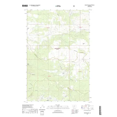 2020 Snedaker Basin2020 Print · USGSThe Big Belt Mountains of central Montana appear in high resolution during this modern survey. Researchers can trace remote drainage patterns and named landmarks like Vigilante Gulch, Snedaker Basin, and Hanging Valley.
 - 2020 Map of Crow Creek Falls, 2020 Print
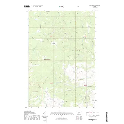 2020 Crow Creek Falls2020 Print · USGSHigh in the Montana backcountry during the early twenty-first century, this map documents the remote drainage basins and high parks of the Elkhorn Mountains. Outdoor enthusiasts and researchers can trace the routes to Crow Creek Falls, Leslie Lake, and the high meadows of Airplane Park.
 - 2020 Map of Canyon Ferry SW, 2020 Print
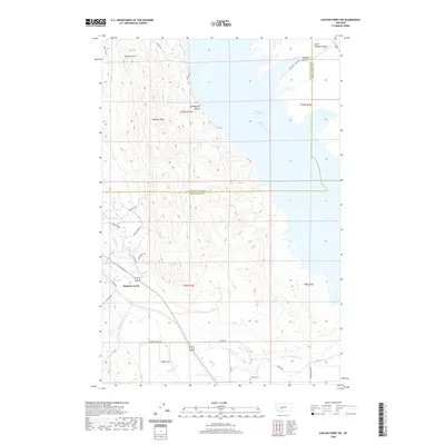 2020 Canyon Ferry SW2020 Print · USGSThe eastern shores of the Missouri River reservoir come into focus in this contemporary survey of the Montana high country. Researchers can trace land use patterns along the waterfront of Canyon Ferry Lake and locate the Winston Cem or the drainage of Spokane Cr.
 - 2020 Map of Sixmile Mountain, 2020 Print
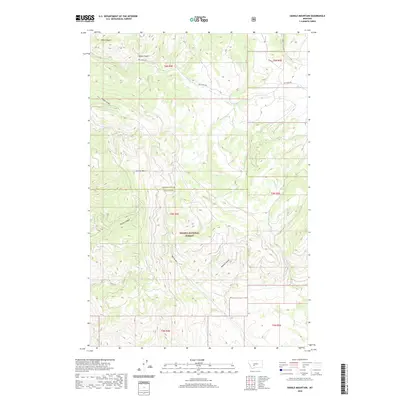 2020 Sixmile Mountain2020 Print · USGSHigh mountain terrain on the Gallatin and Broadwater county line is mapped here in the modern era. Genealogists and local historians can trace family-named landmarks and old resource-extraction sites like Miners Gulch, Meyers Gulch, and Sawmill Gulch.
 - 2020 Map of Toston, 2020 Print
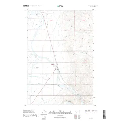 2020 Toston2020 Print · USGSBroadwater County’s river-centered geography comes into focus in this recent survey of the Missouri River valley near Toston. Local historians can trace the vital irrigation networks of the Broadwater-Missouri Canal and landmarks like the Missouri River Bridge and Toston Tunnel.
 - 2020 Map of Watson, 2020 Print
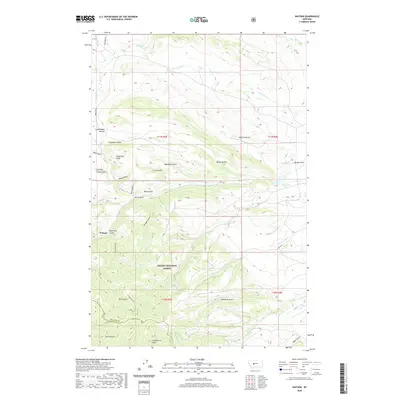 2020 Watson2020 Print · USGSThe Big Belt Mountains of Meagher County appear in this recent survey, centered on the remote outpost of Watson. Researchers can trace old mining and ranching legacies through family and regional labels like Confederate Gulch, Stoyanoff Lake, and Lambing Camp Gulch.
Showing maps 1-25 of 84
Top cities of Broadwater County
Frequently asked questions
- What are the different types of historical maps available for Broadwater County?
- What is the oldest map of Broadwater County?
- Where can I purchase historical maps of Broadwater County for my home or office?
- Where can I download high-res historical maps of Broadwater County?
- Are there historical topographic maps available for Broadwater County?
- Is there historical aerial imagery available for Broadwater County?
- Where are historical maps of Broadwater County sourced from?