2010s Maps of Phillips County, Montana
Explore 397 historic maps of Phillips County from the 2010s. These maps offer a rare glimpse into what life looked like during the 2010s — showing old roads, neighborhoods, homes, and landmarks that have changed or disappeared over time.
Whether you're researching your family's past, planning a metal detecting trip, or studying how Phillips County's landscape evolved across the 2010s, these high-resolution maps are a powerful tool for exploring the history of this region.
- Focus on a specific era: All maps on this page are from the 2010s, giving you a focused view of this time period.
- See what’s changed: Compare century-old streets, trails, and buildings to today's modern landscape using overlays and satellite layers.
- Research with precision: Use these maps for genealogy, historical research, land use analysis, or educational projects.
- View, download, or print: Maps are fully viewable online in high resolution, and can be downloaded or printed for your own records.
Start exploring Phillips County's history through authentic maps from the 2010s. This is your window into the past.
Phillips County, MT maps
(397)- 2011 Map of Coburn Butte, 2011 Print
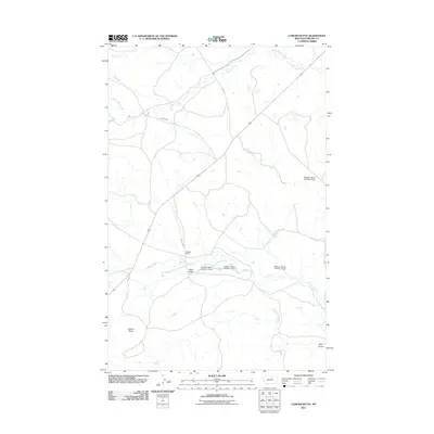 2011 Coburn Butte2011 Print · USGSPhillips County ranching operations are mapped here in the early twenty-first century, showcasing a landscape defined by water management. You can trace the complex network of the Matador Ranch system, including Coburn Ditch and several numbered dams.
 - 2011 Map of Sagebrush Reservoir, 2011 Print
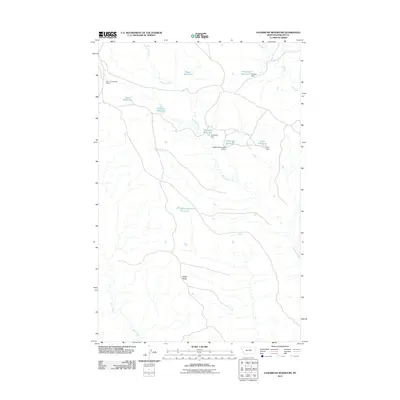 2011 Sagebrush Reservoir2011 Print · USGSPhillips County ranching culture is etched into the landscape of the early twenty-first century through a network of remote reservoirs and dams. Genealogists and historians can trace local land use through water features like Manning Corral Reservoir, Wilder Ridge, and Sagebrush Reservoir.
 - 2011 Map of Carter Coulee, 2011 Print
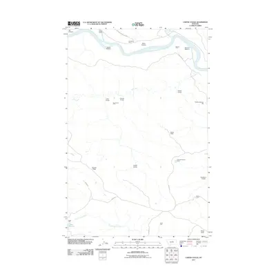 2011 Carter Coulee2011 Print · USGSThe Missouri River breaks and northern ranchlands are captured here in the early twenty-first century. Researchers can trace historic land use and extraction at the Apex Number 2 Mine, Roma White Ranch, and the riverfront flats of Mauland Bottoms.
 - 2011 Map of Kepple Bottoms, 2011 Print
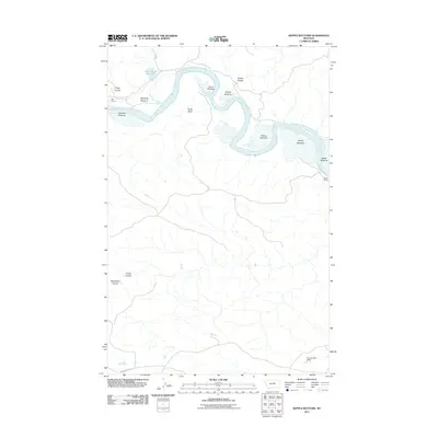 2011 Kepple Bottoms2011 Print · USGSFergus County ranching country is captured here during the early twenty-first century as the Missouri River snakes through the high plains. Researchers can trace land use at Gar Ranch and Rindal Ranch or locate historical routes along the Musshell Trl.
 - 2011 Map of Karsten Coulee, 2011 Print
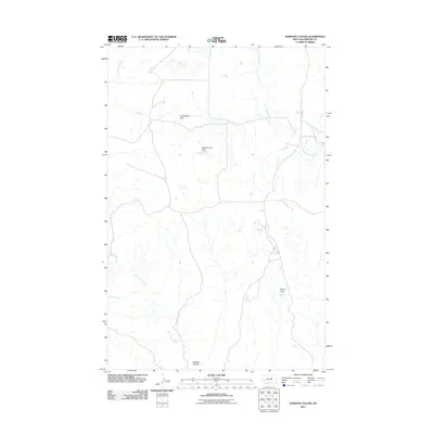 2011 Karsten Coulee2011 Print · USGSPhillips County rangeland is shown in this early twenty-first-century survey of the Karsten Coulee region. Researchers can trace land use and water management through labels like Matovich One Dam, Cruikshank Flat, and Beauchamp Creek.
 - 2011 Map of Hessler Ridge, 2011 Print
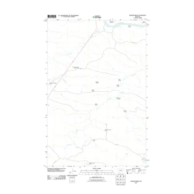 2011 Hessler Ridge2011 Print · USGSFergus County's high-plains terrain is detailed here during the early twenty-first century, specifically where the Missouri River meets the northern breaks. Researchers can trace land features such as Hessler Ridge and isolated landmarks like the Sand Creek Wildlife Station Airport.
 - 2011 Map of Veseth Reservoir, 2011 Print
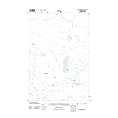 2011 Veseth Reservoir2011 Print · USGSMidale and the surrounding ranchlands of Phillips County are shown in detail during the early twenty-first century. Researchers can trace land use patterns through family-named landmarks like Veseth Ranch and numerous small water works such as Alley Oop Dam and Tree Bark Number 1 Dam.
 - 2011 Map of Chain Buttes, 2011 Print
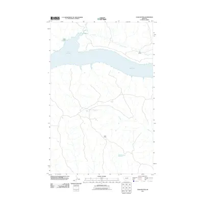 2011 Chain Buttes2011 Print · USGSPetroleum County ranch lands meet the vast waters of the Missouri River country in this early twenty-first-century survey. Researchers can locate the Locke Ranch, trace the course of Soda Creek, and explore the high ground of the Chain Buttes.
 - 2011 Map of John Coulee, 2011 Print
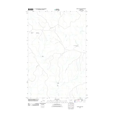 2011 John Coulee2011 Print · USGSThis rural portion of Blaine County, Montana, is captured during the early 21st century when ranching infrastructure and seasonal water management shaped the local landscape. Researchers can trace the drainage patterns of John Coulee and locate specific water resources like Noel Number 1 Dam and the Fort Belknap Number 21 Dam.
 - 2011 Map of Crazyman Coulee, 2011 Print
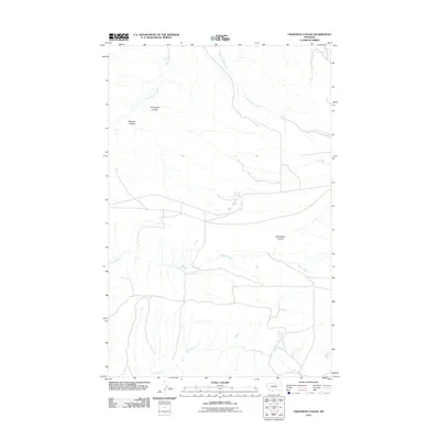 2011 Crazyman Coulee2011 Print · USGSIn this northern Montana landscape during the early 2010s, ranching and water rights define the terrain. Genealogists and historians can trace named landmarks like Crazyman Coulee, Brockie Spring, and the path of Rte 127.
 - 2011 Map of Bell Ridge West, 2011 Print
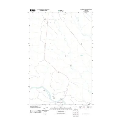 2011 Bell Ridge West2011 Print · USGSFergus County's river-carved landscape is shown here in the early twenty-first century as the Missouri River winds past high ridges and cattle camps. Researchers can trace land features like Kendall Cow Camp, Grays Point, and the James Kipp Campground river crossing.
 - 2011 Map of Blizzard Reservoir, 2011 Print
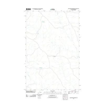 2011 Blizzard Reservoir2011 Print · USGSPhillips County in the early twenty-first century is a landscape of expansive prairie and vital water management. Researchers can trace the layout of remote outposts like Nichols Coulee Camp and the positions of Blizzard Reservoir and Big Snowy Reservoir.
 - 2011 Map of Bear Mountain, 2011 Print
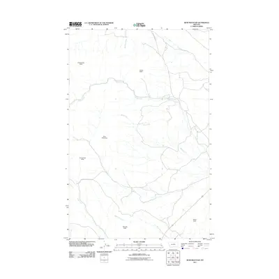 2011 Bear Mountain2011 Print · USGSThe Lodge Pole District of Montana is seen here in the early twenty-first century, a landscape defined by isolated peaks and seasonal drainages. Researchers can trace the terrain from Bear Mountain to named landmarks like Coming Day Butte and Travois Butte.
 - 2011 Map of Dry Coulee, 2011 Print
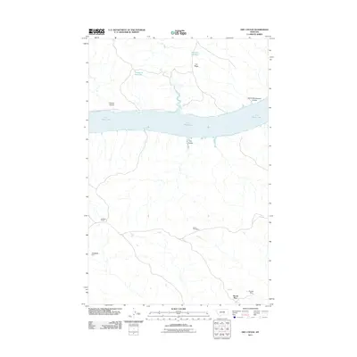 2011 Dry Coulee2011 Print · USGSIn the central Montana breaks during the early 2010s, this area shows a landscape of expansive water and historic family landholdings. Genealogists and local historians can trace legacy sites like Novak Homestead, McArthur Ranch, and the evocative Garrit Schoolhouse Coulee.
 - 2011 Map of Shetland Divide, 2011 Print
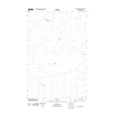 2011 Shetland Divide2011 Print · USGSPhillips County was defined by its water management and high-plains topography in the early twenty-first century. Researchers can trace the drainage of Shetland Divide and locate remote ranching landmarks like Khomeni Dam and Twin Snag Reservoir.
 - 2011 Map of Grand Island, 2011 Print
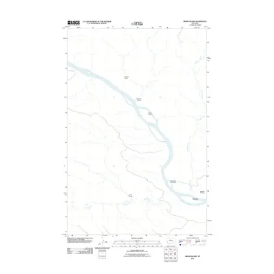 2011 Grand Island2011 Print · USGSThe Missouri River flows through Fergus County in the early twenty-first century, revealing a landscape defined by riverine islands and deep coulees. Researchers can trace land markers such as Fortress Butte and the remote D-Y Trl near Kendall Bottoms.
 - 2011 Map of Cow Island, 2011 Print
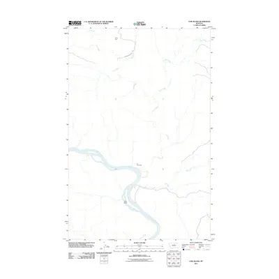 2011 Cow Island2011 Print · USGSThe Missouri River breaks of northern Montana are shown in detail during the early 21st century. Historians can trace the isolation of the Kip Homestead and landmarks like Cow Island and Sixty Dam in this sparsely populated landscape.
 - 2011 Map of Hanson Flat, 2011 Print
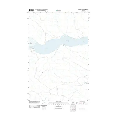 2011 Hanson Flat2011 Print · USGSFergus County at the start of the 2010s shows a landscape shaped by the Missouri River and the vast reservoir of Fort Peck Lake. Trace old interior routes like the Old Musselshell Trl and identify local landmarks such as Headman Dam and Hanson Flat.
 - 2011 Map of D Y Junction, 2011 Print
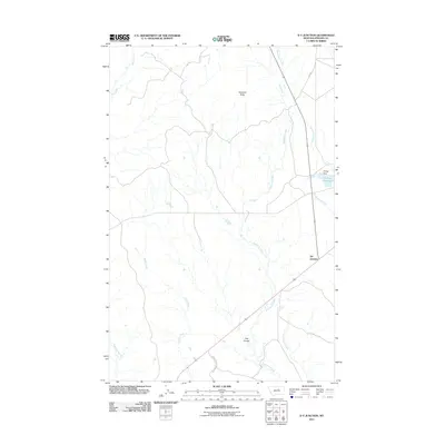 2011 D Y Junction2011 Print · USGSPhillips County is documented here in the early twenty-first century, showing a landscape defined by prairie drainages and water management. Researchers can trace the routes around DY Junction and identify landmarks like Phillips Reservoir and Thornhill Butte.
 - 2011 Map of Baker Monument, 2011 Print
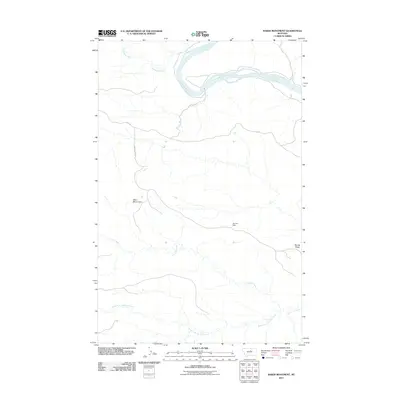 2011 Baker Monument2011 Print · USGSThe Missouri River breaks through the northern plains of Fergus County in the early twenty-first century. Researchers can trace the path of the D-Y Trl past landmarks like the Baker Monument and the distant Gumbo Dam.
 - 2011 Map of Zortman, 2011 Print
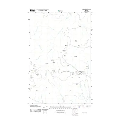 2011 Zortman2011 Print · USGSZortman and Landusky appear at a peak of modern mining activity in these Montana highlands. Researchers can trace the extensive legacy of extraction through dozens of named sites, including the August Mine, Zortman Cemetery, and Ruby Gulch Tailings.
 - 2011 Map of Hays SE, 2011 Print
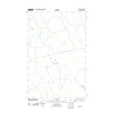 2011 Hays SE2011 Print · USGSPhillips County ranching and water management are at the forefront of this early twenty-first-century survey. Researchers can trace land use through distinctive local landmarks like Little Rockies Camp, The Plunge, and the Pearl Reservoir.
 - 2011 Map of Lake Reservoir, 2011 Print
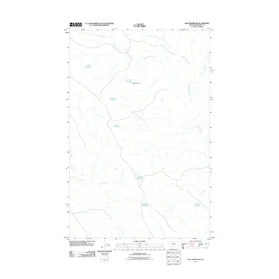 2011 Lake Reservoir2011 Print · USGSPhillips County, Montana, reveals its specialized ranching and irrigation landscape in the early twenty-first century. Researchers can trace the distribution of vital water infrastructure through features like Lake Reservoir Dam, Monster Reservoir, and Buckskin Reservoir.
 - 2011 Map of Bell Ridge East, 2011 Print
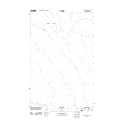 2011 Bell Ridge East2011 Print · USGSPhillips County in the early twenty-first century reveals a landscape shaped by water management and topography. Researchers can trace the drainage of Cottonwood Creek or locate local landmarks like Square Butte and Lark Dam.
 - 2011 Map of Sheep Coulee, 2011 Print
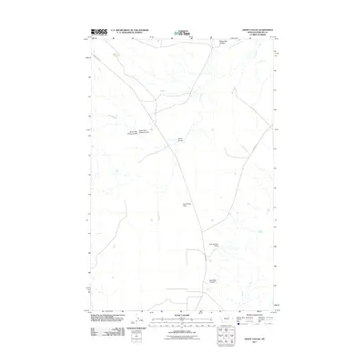 2011 Sheep Coulee2011 Print · USGSPhillips County's high plains are documented here in the early twenty-first century, showing a landscape shaped by water management and natural drainages. Researchers can trace the path of Flat Creek past the Kelso Number 3 Dam or explore the naming of local landmarks like Sheep Coulee.
Showing maps 1-25 of 397
Top cities of Phillips County
Frequently asked questions
- What are the different types of historical maps available for Phillips County?
- What is the oldest map of Phillips County?
- Where can I purchase historical maps of Phillips County for my home or office?
- Where can I download high-res historical maps of Phillips County?
- Are there historical topographic maps available for Phillips County?
- Is there historical aerial imagery available for Phillips County?
- Where are historical maps of Phillips County sourced from?