1970s Maps of Valley County, Montana
Explore 46 historic maps of Valley County from the 1970s. These maps offer a rare glimpse into what life looked like during the 1970s — showing old roads, neighborhoods, homes, and landmarks that have changed or disappeared over time.
Whether you're researching your family's past, planning a metal detecting trip, or studying how Valley County's landscape evolved across the 1970s, these high-resolution maps are a powerful tool for exploring the history of this region.
- Focus on a specific era: All maps on this page are from the 1970s, giving you a focused view of this time period.
- See what’s changed: Compare century-old streets, trails, and buildings to today's modern landscape using overlays and satellite layers.
- Research with precision: Use these maps for genealogy, historical research, land use analysis, or educational projects.
- View, download, or print: Maps are fully viewable online in high resolution, and can be downloaded or printed for your own records.
Start exploring Valley County's history through authentic maps from the 1970s. This is your window into the past.
Valley County, MT maps
(46)- 1971 Map of Wolfe Coulee, 1974 Print
 1971 Wolfe Coulee1974 Print · USGSThe Missouri River breaks of Valley and Garfield counties are captured here in the early seventies, detailing the winding shoreline of Fort Peck Lake. Researchers can trace the rugged drainage networks of Wolfe Coulee, Billy Creek, and the isolated Hell Hole Coulee.
 - 1971 Map of Wagon Coulee, 1974 Print
 1971 Wagon Coulee1974 Print · USGSThe Missouri River breaks of Valley and Garfield Counties are shown here in the early 1970s as the reservoir reshaped the plains. Researchers can locate remote outposts like Faranuf Ranch, prominent landforms such as Round Butte, and the waters of Fort Peck Lake.
 - 1971 Map of Harper Camp, 1974 Print
 1971 Harper Camp1974 Print · USGSThe Missouri River breaks of Valley and Garfield counties are captured here in the early seventies. Genealogists and researchers can trace the shoreline of Fort Peck Lake and find remote landmarks like Harper Camp and Harper Ridge.
 - 1971 Map of Swede Ridge, 1975 Print
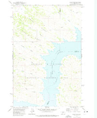 1971 Swede Ridge1975 Print · USGSThe Missouri River breaks of Montana are captured here during the 1970s, showing the intersection of three counties within the Charles M Russell National Wildlife Range. Researchers can trace the path of the Cart Trail or locate high-country landmarks like Rock Peak and Swede Ridge.
 - 1972 Map of Flynn Creek North, 1975 Print
 1972 Flynn Creek North1975 Print · USGSThe Fort Peck Indian Reservation in the early 1970s was a landscape defined by the winding drainages of Wolf Creek and Flynn Creek. Researchers can trace the Valley and Roosevelt County boundary through Badger Hole and across the East Fork Flynn Creek.
 - 1972 Map of Frazer, 1975 Print
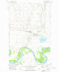 1972 Frazer1975 Print · USGSThe Missouri River valley near the Fort Peck Indian Reservation is captured here in the mid-1970s. Trace local landmarks like the St Joseph Cem, the community of Frazer, and the Burlington Northern rail line.
 - 1972 Map of Dubbe Reservoir, 1975 Print
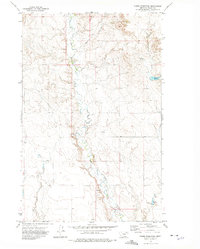 1972 Dubbe Reservoir1975 Print · USGSIn the early seventies, this portion of Valley County was a landscape of essential water management and isolated agricultural outposts. Genealogists and researchers can trace local landmarks like Dubbe Reservoir, Johnson Coulee, and the West Fork Charley Creek.
 - 1972 Map of Milk River Coulee, 1975 Print
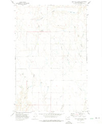 1972 Milk River Coulee1975 Print · USGSValley County ranching country is documented here in the early seventies, showing the landscape within the Fort Peck Indian Reservation. Trace the winding Milk River and essential water sources like Mud Lake and Kintyre Creek.
 - 1972 Map of Milk River Hills, 1975 Print
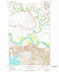 1972 Milk River Hills1975 Print · USGSThe confluence of the Missouri and Milk Rivers in Valley County comes alive in the early 1970s, showcasing a landscape shaped by ranching and rail. Researchers can trace the winding Fort Peck Indian Reservation boundary, the remote Nickels Ranch, and the Burlington Northern railroad corridor.
 - 1972 Map of Flynn Creek South, 1975 Print
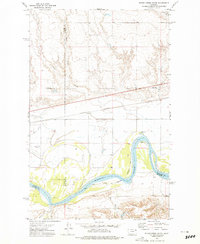 1972 Flynn Creek South1975 Print · USGSThe Missouri River valley at the Fort Peck Indian Reservation is shown here in the 1970s, as the river snakes between multiple county lines. Local researchers can locate the Oswego Ch, a local Cem, and the tracks of the Burlington Northern railroad.2 unique versions available
 - 1972 Map of Lindeke Coulee, 1975 Print
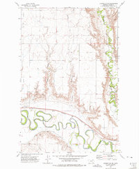 1972 Lindeke Coulee1975 Print · USGSValley County in the early seventies shows the winding Milk River valley at a time of established irrigation and rail transport. Trace the path of the Burlington Northern railroad or locate Memorial Gardens (Cem) and Lindeke Coulee.
 - 1972 Map of Oswego NW, 1975 Print
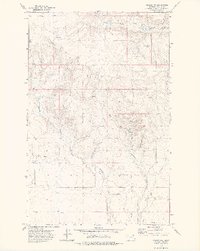 1972 Oswego NW1975 Print · USGSValley County, Montana, is shown here in the early 1970s within the boundaries of the Fort Peck Indian Reservation. Local researchers can trace family-named water sources and landmarks like Three Buttes, Badger Hole Coulee, and Oswego Creek.
 - 1972 Map of Fort Peck, 1975 Print
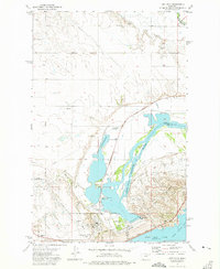 1972 Fort Peck1975 Print · USGSThe Missouri River valley in the early seventies shows a landscape transformed by the Fort Peck Dam and wildlife conservation efforts. Researchers can trace the layout of Fort Peck and Park Grove alongside the Charles M. Russell National Wildlife Range.
 - 1972 Map of York Island, 1975 Print
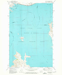 1972 York Island1975 Print · USGSFort Peck Lake and the Missouri River corridor define this landscape in the early seventies as a hub for both conservation and recreation. Researchers can trace the shoreline of York Island, the reach of the Dry Arm, and facilities at Fort Peck Dam.
 - 1972 Map of Signal Butte, 1975 Print
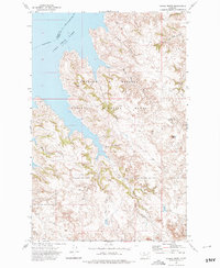 1972 Signal Butte1975 Print · USGSThe Missouri Breaks of Garfield and Valley counties are captured here in the early 1970s, as ranching outposts met federal conservation lands. Researchers can trace the remote Cole Ranch and topographic landmarks like Signal Butte and Swallow Nest Spring.
 - 1972 Map of Oswego, 1976 Print
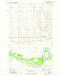 1972 Oswego1976 Print · USGSThe Missouri River valley in Northeast Montana is captured here in the early 1970s, showing a landscape of rail transit and irrigation. Researchers can trace the Burlington Northern line through Oswego, locate the Cem, and see the Main Canal system.
 - 1972 Map of Nashua, 1976 Print
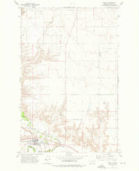 1972 Nashua1976 Print · USGSValley County in the early seventies centers on Nashua, where the railroad meets the winding Milk River. Researchers can locate the High Sch, trace the Fort Peck Indian Reservation Boundary, and identify family landmarks like Ivy Coulee.
 - 1972 Map of Kintyre, 1976 Print
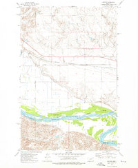 1972 Kintyre1976 Print · USGSBig Sky country meets the Missouri River in the 1970s, where the railroad and irrigation shaped the remote plains. Researchers can trace the Burlington Northern line through Wiota and Kintyre or locate the Frazer Pumping Sta along the river.
 - 1973 Map of Baylor SE, 1976 Print
 1973 Baylor SE1976 Print · USGSThe high prairie and coulees of Valley County are captured in the early 1970s, showcasing the remote landscape of the Fort Peck Indian Reservation. Trace local landmarks like the Fuhrman Community Center and topographic features such as The Pass and Snow Coulee.
 - 1973 Map of Larslan, 1976 Print
 1973 Larslan1976 Print · USGSThe northern reaches of the Fort Peck Indian Reservation are mapped here in the early 1970s, centered on the small settlement of Larslan. Researchers can trace the drainage of East Fork Porcupine Creek and locate local landmarks like Hovland Dam and a rural Cem.
 - 1973 Map of Glentana West, 1976 Print
 1973 Glentana West1976 Print · USGSNortheastern Montana high plains are captured here in the early seventies, showing a landscape shaped by seasonal waters and rail. Researchers can trace the Burlington Northern line and local landmarks like Glentana or the winding Bog Coulee.
 - 1973 Map of Triple Crossing Reservoir East, 1976 Print
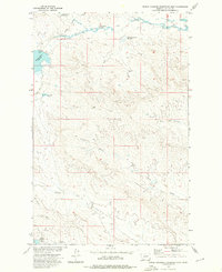 1973 Triple Crossing Reservoir East1976 Print · USGSThe Missouri River Basin development era defined this Valley County landscape, where livestock and water management drove the local geography. Trace family-named landmarks and water sources like Twin Forks Reservoir, Hard Pan Creek, and White Rock Coulee.
 - 1973 Map of Larslan NW, 1976 Print
 1973 Larslan NW1976 Print · USGSValley County in the early seventies reveals a landscape of open range and precise jurisdictional lines. Local historians can trace the Fort Peck Indian Reservation Boundary and locate the settlement at Avondale near Hell Creek.
 - 1973 Map of Baylor NE, 1976 Print
 1973 Baylor NE1976 Print · USGSValley County, Montana, is captured in the early 1970s as a quiet expanse of high plains and coulees. Genealogists and researchers can trace the Fort Peck Indian Reservation Boundary and the winding paths of Snow Coulee and Bog Coulee.
 - 1973 Map of Brockway Spring, 1976 Print
 1973 Brockway Spring1976 Print · USGSNortheastern Montana sits along the Canadian border in the early seventies, where the high plains meet the international boundary. Researchers can trace land use patterns through isolated Springs, resource markers for Coal, and the namesake Brockway Spring near Brockway Coulee.
Showing maps 1-25 of 46
Top cities of Valley County
Frequently asked questions
- What are the different types of historical maps available for Valley County?
- What is the oldest map of Valley County?
- Where can I purchase historical maps of Valley County for my home or office?
- Where can I download high-res historical maps of Valley County?
- Are there historical topographic maps available for Valley County?
- Is there historical aerial imagery available for Valley County?
- Where are historical maps of Valley County sourced from?