2010s Maps of Valley County, Montana
Explore 365 historic maps of Valley County from the 2010s. These maps offer a rare glimpse into what life looked like during the 2010s — showing old roads, neighborhoods, homes, and landmarks that have changed or disappeared over time.
Whether you're researching your family's past, planning a metal detecting trip, or studying how Valley County's landscape evolved across the 2010s, these high-resolution maps are a powerful tool for exploring the history of this region.
- Focus on a specific era: All maps on this page are from the 2010s, giving you a focused view of this time period.
- See what’s changed: Compare century-old streets, trails, and buildings to today's modern landscape using overlays and satellite layers.
- Research with precision: Use these maps for genealogy, historical research, land use analysis, or educational projects.
- View, download, or print: Maps are fully viewable online in high resolution, and can be downloaded or printed for your own records.
Start exploring Valley County's history through authentic maps from the 2010s. This is your window into the past.
Valley County, MT maps
(365)- 2011 Map of Smith Coulee, 2011 Print
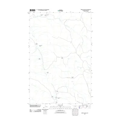 2011 Smith Coulee2011 Print · USGSValley County rangeland remains a landscape of remote ridges and coulees in the early twenty-first century. Genealogists and historians can trace local ranching landmarks like Etchart Cow Camp and essential water sources such as Barth Spring and Robinson Spring.
 - 2011 Map of Niles Coulee, 2011 Print
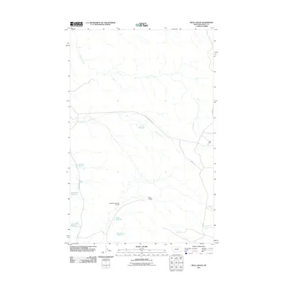 2011 Niles Coulee2011 Print · USGSThe rangelands of Valley County are captured here during the early twenty-first century, showing a landscape shaped by water management. Genealogists and researchers can trace local ranching history through landmarks like Odin Dam, Corral Reservoir, and Niles Spring.
 - 2011 Map of Harper Camp, 2011 Print
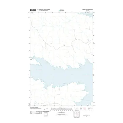 2011 Harper Camp2011 Print · USGSValley County at the start of the 2010s shows a landscape shaped by the waters of the Missouri River and the high plains of the north. Genealogists and researchers can trace the roads around Harper Camp or follow the drainages of Carpenter Creek and Cabin Coulee.
 - 2011 Map of Whiskey Coulee, 2011 Print
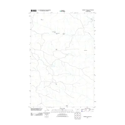 2011 Whiskey Coulee2011 Print · USGSValley County ranching lands and distinctive geologic formations are detailed in this 2011 survey. Researchers can trace land use at Anderson Ranch and Smith Ranch or locate natural water sources like School Section Spring and Franks Spring.
 - 2011 Map of Gibson Coulee, 2011 Print
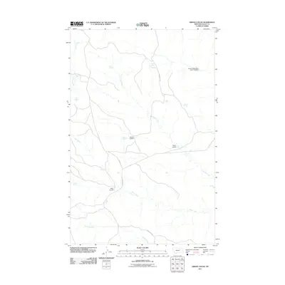 2011 Gibson Coulee2011 Print · USGSValley County, Montana, is documented here in the early twenty-first century as a landscape of remote ranchland and essential water sources. Genealogists and historians can trace family-named landmarks like Chittick Spring, Andys Spring, and the terrain of Gibson Coulee.
 - 2011 Map of Murray Hill, 2011 Print
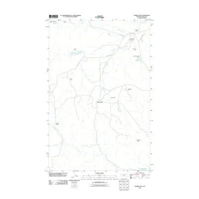 2011 Murray Hill2011 Print · USGSValley County ranching and water management define this landscape during the early twenty-first century. Genealogists and local historians can trace family-named sites and essential infrastructure like Murray Place, Handley Ranch, and the Wittmayer Dam.
 - 2011 Map of Wolfe Coulee, 2011 Print
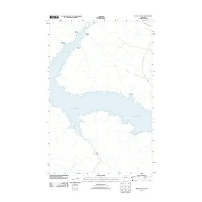 2011 Wolfe Coulee2011 Print · USGSFort Peck Lake and the surrounding breaks of Valley County are captured here in the early twenty-first century. Local history enthusiasts and hunters can trace the rugged shoreline and numerous drainages like Wolfe Coulee, Hell Hole Coulee, and Billy Creek.
 - 2011 Map of Middle Eighth Coulee, 2011 Print
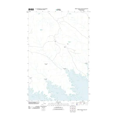 2011 Middle Eighth Coulee2011 Print · USGSValley County ranching and the vast reaches of the Missouri River breaks are captured here in the early twenty-first century. Researchers can locate remote homesteads like Browning Ranch and Stebley Ranch or trace the shoreline around Graveyard Hill and Fort Peck Lake.
 - 2011 Map of Collins Reservoir, 2011 Print
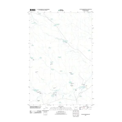 2011 Collins Reservoir2011 Print · USGSValley County ranchlands are documented here in the early twenty-first century, showing a landscape defined by water management and livestock. Researchers can trace land use through named features like Collins Ranch and dozens of local basins including Mosquito Reservoir and White Rock Reservoir.
 - 2011 Map of Sage Creek Point, 2011 Print
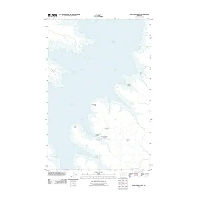 2011 Sage Creek Point2011 Print · USGSValley County, Montana, is shown here as the shoreline of the Missouri River breaks met the waters of the mid-twentieth century. Researchers can trace the complex drainage of Embleton Coulee and locate landmarks like Don McDonald Dam and Chilkoot Pass.
 - 2011 Map of Seventh Point Buttes, 2011 Print
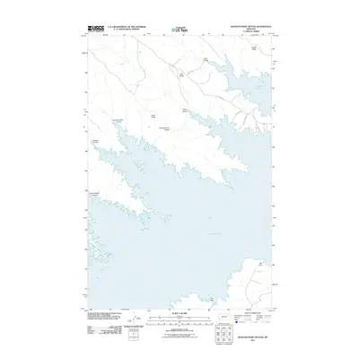 2011 Seventh Point Buttes2011 Print · USGSValley County, Montana, is seen here in the early twenty-first century, centered on the intricate shoreline of a massive Missouri River reservoir. Trace the numbered terrain and water features that define this area, including Seventh Point Buttes, Bell Point, and The Sag.
 - 2011 Map of Brown Pass, 2011 Print
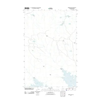 2011 Brown Pass2011 Print · USGSValley County ranching and the northern shores of Fort Peck Lake are documented in this early twenty-first-century survey. Researchers can trace land use through water features like Chico Reservoir and remote outposts such as Magruder Ranch.
 - 2011 Map of York Island, 2011 Print
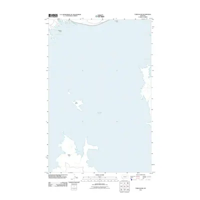 2011 York Island2011 Print · USGSFort Peck Lake dominates the landscape in this early twenty-first century study of the Missouri River's massive reservoir system. Researchers can trace the intricate shoreline and island geography around York Island, Haxby Point, and the northern reach of Fort Peck Dam.
 - 2011 Map of Little Buffalo Hill, 2011 Print
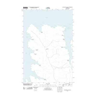 2011 Little Buffalo Hill2011 Print · USGSThe Valley County shoreline along Fort Peck Lake is detailed in the early twenty-first century, showing the complex reach of the reservoir. Researchers can map the intricate network of coulees and bays, from Little Buffalo Hill to Hell Creek Bay and Buffalo Coulee.
 - 2011 Map of Bomber Coulee, 2011 Print
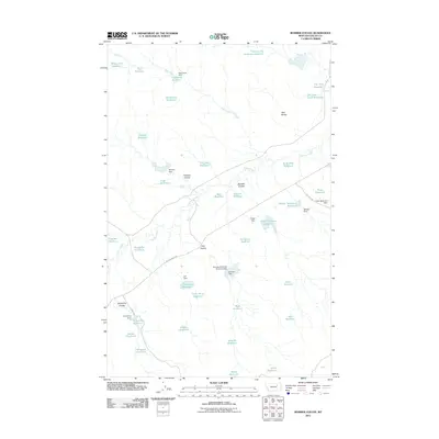 2011 Bomber Coulee2011 Print · USGSValley County ranching country is mapped here in the early twenty-first century, showing a landscape defined by coulees and water management. Researchers can trace rural routes like Willow Creek Rd to find remote landmarks such as Two Buttes and Snow Blind Reservoir.
 - 2011 Map of Baylor NE, 2011 Print
 2011 Baylor NE2011 Print · USGSThe open plains of the Frazer District in Valley County are captured here at the start of the 2010s. Researchers can trace the drainage of Bog Creek and Bog Coulee or follow rural routes like Wildrose Rd and Snow Coulee Rd.
 - 2011 Map of Tampico, 2011 Print
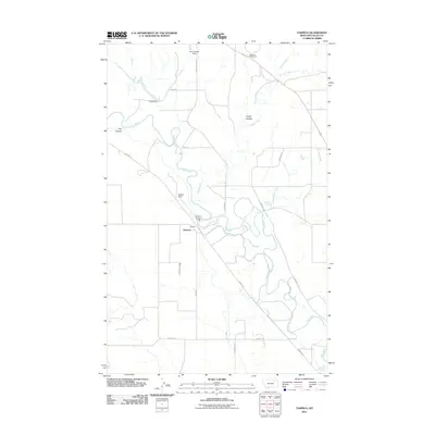 2011 Tampico2011 Print · USGSTampico sits at a distinctive bend in the Milk River valley during the early twenty-first century. Researchers can trace the rural infrastructure of Valley County through local landmarks like Tampico Bridge, Etchart Field, and the curiously named Blue Cheese Dam.
 - 2011 Map of Baylor SE, 2011 Print
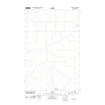 2011 Baylor SE2011 Print · USGSValley County ranchlands and the Frazer District are shown here just after the turn of the millennium. Trace rural infrastructure like the Fort Peck Reservation Number 1 Dam and local family routes such as Fuhrman Rd and Sather Rd.
 - 2011 Map of Vandalia, 2011 Print
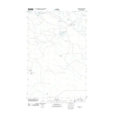 2011 Vandalia2011 Print · USGSVandalia and the winding Milk River corridor appear in detail during the early twenty-first century as a landscape shaped by water management. Researchers can trace the infrastructure of local ranching through the Vandalia Post Office, Vandalia Dam, and Hardscrabble Creek.
 - 2011 Map of Burnett Creek, 2011 Print
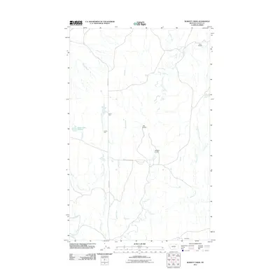 2011 Burnett Creek2011 Print · USGSValley County, Montana, is mapped here in the early twenty-first century, showing a landscape of specialized water management and ranching roads. Researchers can trace the drainage of Burnett Creek and locate livestock infrastructure like Corral Dam and Desert Claim Reservoir.
 - 2011 Map of Thoeny, 2011 Print
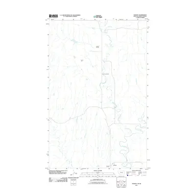 2011 Thoeny2011 Print · USGSThoeny and the high plains of Valley County are captured here in the early twenty-first century. Researchers can trace the layout of the Thoeny settlement and locate rural landmarks like the Hill Crest Cemetery, Hunter Dam, and the winding McEachern Creek.
 - 2011 Map of Wheeler, 2011 Print
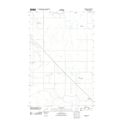 2011 Wheeler2011 Print · USGSThe rural landscape around Wheeler, Montana, comes into focus in this early twenty-first-century survey of Valley County. Trace the development of local water infrastructure through Whatshisname Dam and the Vandalia South Canal near Tiger Butte.
 - 2011 Map of Glentana West, 2011 Print
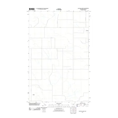 2011 Glentana West2011 Print · USGSValley County at the beginning of the decade shows the high-plains agricultural life of northern Montana. Researchers can trace rural family routes like Eliason Rd and Keough Rd, or locate the Redfield Ag Strip near the small hub of Glentana.
 - 2011 Map of Glass Hill, 2011 Print
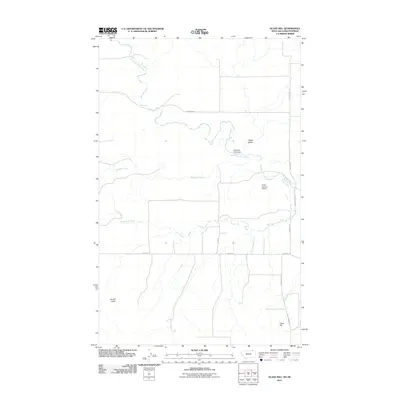 2011 Glass Hill2011 Print · USGSValley County, Montana, is depicted in the early twenty-first century as a landscape of prairie drainages and managed water. Researchers can trace rural routes like Glentanna Rd and locate specific features such as Professor Pool Dam and Round Butte.
 - 2011 Map of Dubbe Reservoir, 2011 Print
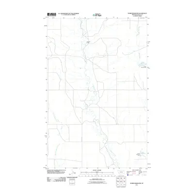 2011 Dubbe Reservoir2011 Print · USGSValley County, Montana, is documented here in the early twenty-first century as a landscape of prairie drainages and vital water infrastructure. Researchers can trace the catchment systems at Dubbe Reservoir and Horgan Reservoir or follow the winding course of Little Porcupine Creek.
Showing maps 1-25 of 365
Top cities of Valley County
Frequently asked questions
- What are the different types of historical maps available for Valley County?
- What is the oldest map of Valley County?
- Where can I purchase historical maps of Valley County for my home or office?
- Where can I download high-res historical maps of Valley County?
- Are there historical topographic maps available for Valley County?
- Is there historical aerial imagery available for Valley County?
- Where are historical maps of Valley County sourced from?