2020s Maps of Valley County, Montana
Explore 244 historic maps of Valley County from the 2020s. These maps offer a rare glimpse into what life looked like during the 2020s — showing old roads, neighborhoods, homes, and landmarks that have changed or disappeared over time.
Whether you're researching your family's past, planning a metal detecting trip, or studying how Valley County's landscape evolved across the 2020s, these high-resolution maps are a powerful tool for exploring the history of this region.
- Focus on a specific era: All maps on this page are from the 2020s, giving you a focused view of this time period.
- See what’s changed: Compare century-old streets, trails, and buildings to today's modern landscape using overlays and satellite layers.
- Research with precision: Use these maps for genealogy, historical research, land use analysis, or educational projects.
- View, download, or print: Maps are fully viewable online in high resolution, and can be downloaded or printed for your own records.
Start exploring Valley County's history through authentic maps from the 2020s. This is your window into the past.
Valley County, MT maps
(244)- 2020 Map of Todd Lakes, 2020 Print
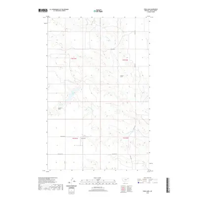 2020 Todd Lakes2020 Print · USGSThe high plains of Valley County are captured here in the Frazer District during the early twenty-first century. Researchers can trace land use patterns and family-named landmarks like Jack Norris Coulee, the Zerbe Airport, and the namesake Todd Lakes.
 - 2020 Map of Oswego, 2020 Print
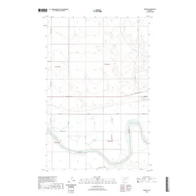 2020 Oswego2020 Print · USGSThe Oswego area in northeastern Montana is documented here at the start of the 2020s, showing the intersection of the Missouri River and the Lewis and Clark Trl. Researchers can trace rural routes like Fourstar Rd and Pumping Plant Rd across the county line.
 - 2020 Map of Flynn Creek North, 2020 Print
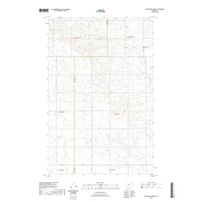 2020 Flynn Creek North2020 Print · USGSThe Missouri River plateau on the Valley and Roosevelt county line is captured here in the early twenty-first century. Researchers can trace the winding paths of Flynn Cr and Littleman Cr or locate remote landmarks like Badger Hole Coulee.
 - 2020 Map of Todd Lakes NE, 2020 Print
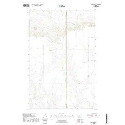 2020 Todd Lakes NE2020 Print · USGSNortheastern Montana ranching country is captured here in the contemporary era, spanning the Valley and Roosevelt County line. Researchers can trace rural infrastructure and water sources like Unrau Airport, Lustre Rd, and the 31N46E05BCAD01 Spring.
 - 2020 Map of Crow Creek Dam OE N, 2020 Print
 2020 Crow Creek Dam OE N2020 Print · USGSThe northern edge of Valley County meets the international border in this 2020 topographic survey. Researchers can trace the drainage patterns of the high plains along the Canada boundary in this largely unsettled prairie landscape.
 - 2020 Map of Haugens Hill, 2020 Print
 2020 Haugens Hill2020 Print · USGSNortheastern Montana’s high plains are captured here at the start of the 2020s, showing the intersection of Valley and Daniels counties. Researchers can trace rural aviation and local road networks including Saubak Airport, Haugens Hill, and Cottonwood Cr.
 - 2020 Map of Todd Lakes SE, 2020 Print
 2020 Todd Lakes SE2020 Print · USGSThe high plains of the Wolf Point district come to life in this modern survey of the Montana prairie. Researchers can trace the intricate drainage of Middle Fork Wolf Cr and W Fork Wolf Cr across rural routes like Co Line Rd.
 - 2020 Map of Poplar Coulee, 2020 Print
 2020 Poplar Coulee2020 Print · USGSNortheastern Montana ranching country is detailed here at the convergence of three counties in the twenty-first century. Researchers can trace land boundaries and rural routes like Winderal Rd and Kegel Rd near Poplar Coulee.
 - 2020 Map of Oswego NW, 2020 Print
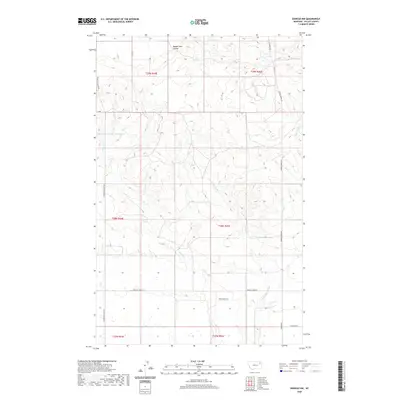 2020 Oswego NW2020 Print · USGSValley County, Montana, is revealed here in the modern era as a landscape of isolated buttes and seasonal coulees. Researchers can trace land management features like Structure Number 143 Reservoir or follow rural tracks such as Nygaard Rd near Three Buttes.
 - 2020 Map of Wolfe Coulee, 2020 Print
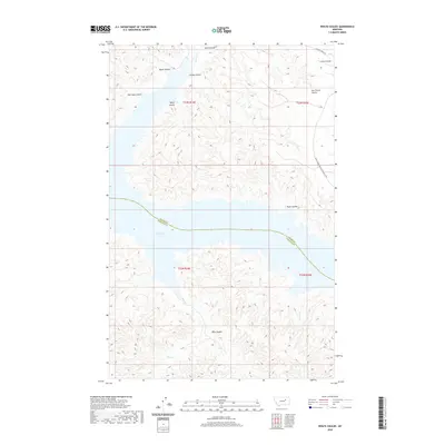 2020 Wolfe Coulee2020 Print · USGSThe northern reaches of the Missouri River breaks meet the waters of Fort Peck Lake in this contemporary Montana landscape. Researchers can trace the intricate network of drainage channels including Hell Hole Coulee and Timber Creek Trl.
 - 2020 Map of White Horse Coulee, 2020 Print
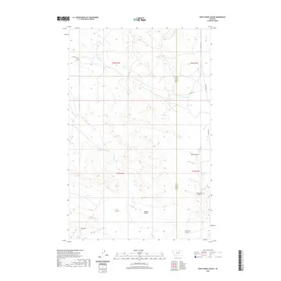 2020 White Horse Coulee2020 Print · USGSValley County at the turn of the decade is shown here as a landscape defined by its complex drainage systems and high prairie ridges. Researchers can trace the path of Larb Cr or locate specific landmarks like Beartracks Reservoir and The Sag.
 - 2020 Map of Smith Coulee, 2020 Print
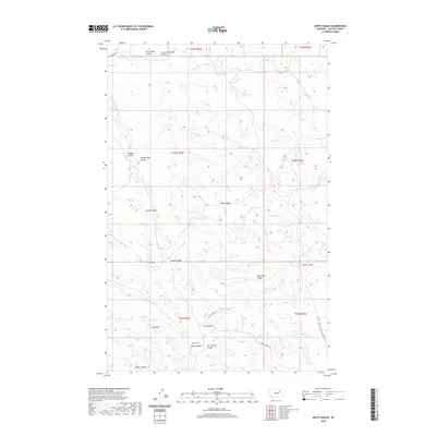 2020 Smith Coulee2020 Print · USGSValley County, Montana, is mapped here in the modern era, showing a landscape shaped by the Larb Hills and numerous named coulees. Researchers can locate vital water sources like Barth Spring and trace travel routes along Plum Cr Rd and Timber Creek Trl.
 - 2020 Map of Collins Reservoir, 2020 Print
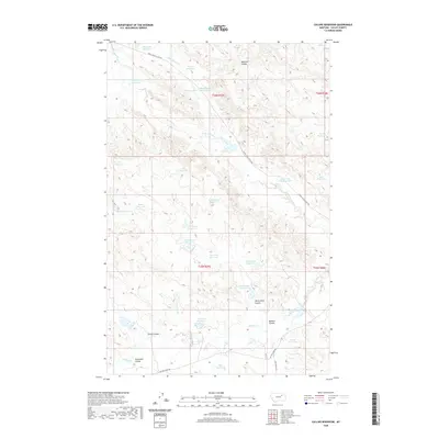 2020 Collins Reservoir2020 Print · USGSValley County, Montana, is revealed as a landscape of careful water management in this modern survey. Researchers can trace dozens of small upland catchments like Mosquito Reservoir, Lush Reservoir, and the curiously named Your Name Reservoir.
 - 2020 Map of Niles Coulee, 2020 Print
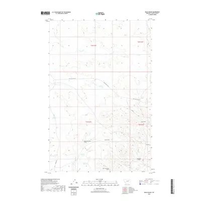 2020 Niles Coulee2020 Print · USGSValley County, Montana, is documented here in the early twenty-first century as a landscape shaped by ranching and seasonal hydrology. Researchers can trace land use through features like Corral Reservoir, Niles Spring, and the winding path of Niles Coulee.
 - 2020 Map of Bomber Coulee, 2020 Print
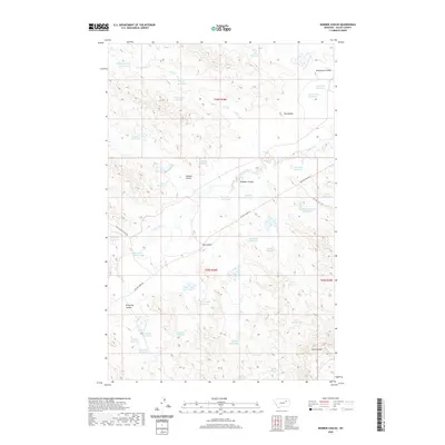 2020 Bomber Coulee2020 Print · USGSThe coulee-scarred plains of Valley County are captured here in the early twenty-first century, revealing a landscape defined by water management and rural transit. Researchers can trace dozens of named water features like Salty Glen Reservoir, landmarks like Two Buttes, and the path of Willow Creek Rd.
 - 2020 Map of Wagon Coulee, 2020 Print
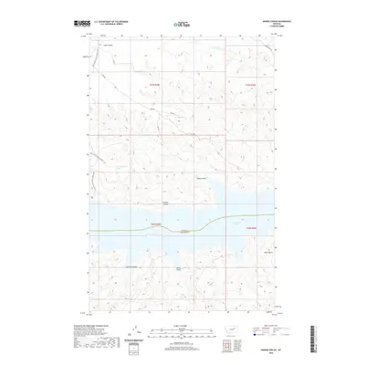 2020 Wagon Coulee2020 Print · USGSThe Missouri River breaks and the northern reaches of Fort Peck Lake are mapped here in the early twenty-first century. Researchers can trace the rugged network of drainage systems including Widow Coulee, Wagon Coulee, and the prominent Round Butte landmark.
 - 2020 Map of Whiskey Coulee, 2020 Print
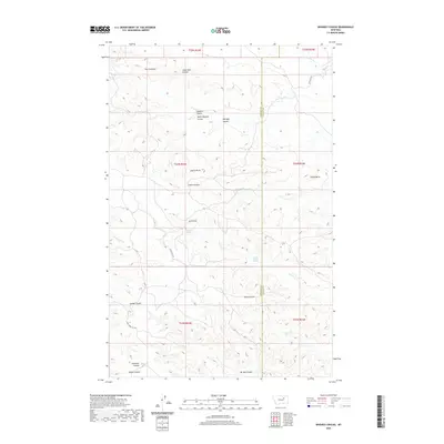 2020 Whiskey Coulee2020 Print · USGSBig sky country in central Montana is documented here at the start of the 2020s, showing the border of Phillips and Valley counties. Local historians can trace natural landmarks and springs like Castle Rocks, School Section Spring, and The Chimneys.
 - 2020 Map of Murray Hill, 2020 Print
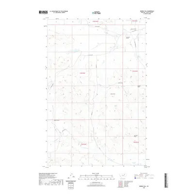 2020 Murray Hill2020 Print · USGSValley County, Montana, is depicted here in the early twenty-first century as a landscape of ridges and ranch roads north of the Missouri. Researchers can trace land features like Murray Hill and water sources including King Spring or Valley Reservoir.
 - 2020 Map of Gibson Coulee, 2020 Print
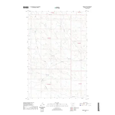 2020 Gibson Coulee2020 Print · USGSValley County, Montana, is shown here in the modern era, revealing a landscape where water and topography dictate the local geography. Researchers can identify many named water sources and early routes, including Chittick Spring, Gibson Coulee, and Ridge Rd.
 - 2020 Map of Hardpan Coulee, 2020 Print
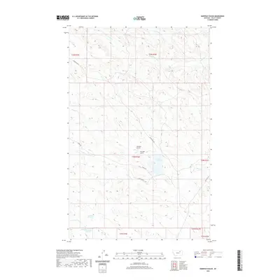 2020 Hardpan Coulee2020 Print · USGSValley County at the start of the 2020s shows a landscape shaped by water management and remote ranching routes. Genealogists and historians can trace local terrain markers like Pot Hole Coulee and water sources including Beechnut Reservoir and North Beaver Reservoir.
 - 2020 Map of Richland, 2020 Print
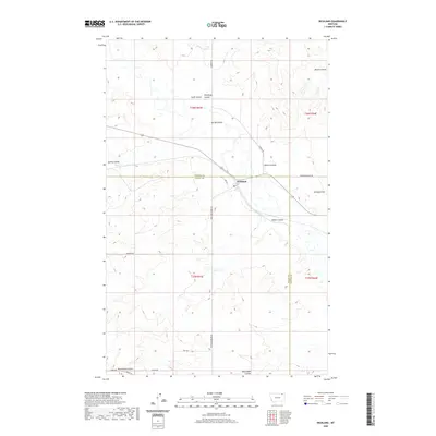 2020 Richland2020 Print · USGSRichland and the surrounding plains of Valley and Daniels Counties are documented here as they appeared in 2020. Researchers can trace local roads and geography around Richland, from the heights of Richland Hill to the banks of Swift Coulee and Blackhawk Coulee.
 - 2020 Map of Baylor NE, 2020 Print
 2020 Baylor NE2020 Print · USGSValley County, Montana, remains a landscape of open range and agricultural grids in this 2020 survey of the Frazer District. Trace the legacy of early settlers and remote homesteads through local landmarks like Cemetary S, Snow Coulee Rd, and Bog Cr.
 - 2020 Map of Miller Coulee West, 2020 Print
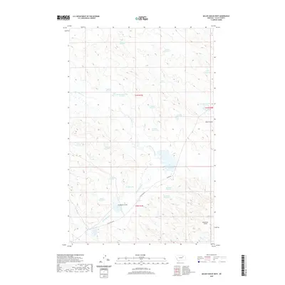 2020 Miller Coulee West2020 Print · USGSValley County at the start of the 2020s remains a landscape of remote ranching and essential water management. Researchers can trace land use through dozens of named catchments like Hardpan Reservoir, Uphans Reservoir, and the drainage at Arrambide Coulee.
 - 2020 Map of Lookout, 2020 Print
 2020 Lookout2020 Print · USGSValley County, Montana, is captured in this recent survey of the high plains north of the Missouri River. Genealogists and local historians can trace the developments at St. Marie or locate water sources like Olson Springs and Middle Reservoir in the Porcupine Valley.
 - 2020 Map of Christmas Reservoir, 2020 Print
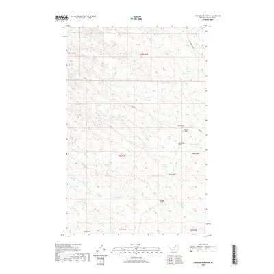 2020 Christmas Reservoir2020 Print · USGSValley County, Montana, is mapped here as it appeared in 2020, showcasing a ranching landscape defined by its clever water-catchment systems. Researchers can trace the drainage of Pot Hole Coulee and South Shed Coulee to isolated stock ponds like Christmas Reservoir.
Showing maps 1-25 of 244
Top cities of Valley County
Frequently asked questions
- What are the different types of historical maps available for Valley County?
- What is the oldest map of Valley County?
- Where can I purchase historical maps of Valley County for my home or office?
- Where can I download high-res historical maps of Valley County?
- Are there historical topographic maps available for Valley County?
- Is there historical aerial imagery available for Valley County?
- Where are historical maps of Valley County sourced from?