1980s Maps of Valley County, Montana
Explore 63 historic maps of Valley County from the 1980s. These maps offer a rare glimpse into what life looked like during the 1980s — showing old roads, neighborhoods, homes, and landmarks that have changed or disappeared over time.
Whether you're researching your family's past, planning a metal detecting trip, or studying how Valley County's landscape evolved across the 1980s, these high-resolution maps are a powerful tool for exploring the history of this region.
- Focus on a specific era: All maps on this page are from the 1980s, giving you a focused view of this time period.
- See what’s changed: Compare century-old streets, trails, and buildings to today's modern landscape using overlays and satellite layers.
- Research with precision: Use these maps for genealogy, historical research, land use analysis, or educational projects.
- View, download, or print: Maps are fully viewable online in high resolution, and can be downloaded or printed for your own records.
Start exploring Valley County's history through authentic maps from the 1980s. This is your window into the past.
Valley County, MT maps
(63)- 1983 Map of Todd Lakes NE
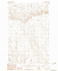 1983 Todd Lakes NE1983 Print · USGSThe high plains of the Fort Peck Indian Reservation are captured here in the early 1980s as the landscape remained defined by its drainages and boundary lines. Researchers can trace the path of Cottonwood Creek or locate a remote Airstrip situated between Valley and Roosevelt counties.
 - 1983 Map of Todd Lakes
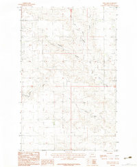 1983 Todd Lakes1983 Print · USGSValley County, Montana, is seen here in the early eighties as a landscape of prairie coulees and cattle ranges within the Fort Peck Indian Reservation. Researchers can trace the drainage patterns of Todd Lakes and the branching networks of Wolf Creek and Thiessen Coulee.2 unique versions available
 - 1983 Map of Spring Valley East
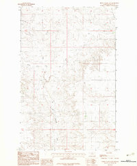 1983 Spring Valley East1983 Print · USGSValley County, Montana, is captured in the early eighties as a landscape of wide-open range and essential watercourses. Researchers can trace the drainage patterns of Little Porcupine Creek or locate the isolated Airstrip used for regional transport.
 - 1983 Map of Spring Creek SW
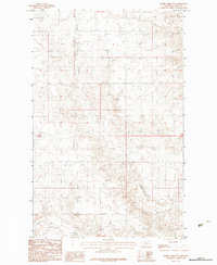 1983 Spring Creek SW1983 Print · USGSEastern Montana ranching country is documented in the early 1980s, shortly after field checks on the Fort Peck Indian Reservation. Researchers can trace the drainage systems of Tomato Can Creek, Spring Creek, and Sargent Creek across this surveyed landscape.
 - 1983 Map of Lustre
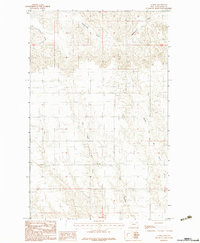 1983 Lustre1983 Print · USGSThe northeastern Montana plains come to life in the early 1980s, showing a landscape defined by seasonal drainages and section lines. Researchers can trace the paths of West Fork Wolf Creek, Middle Fork Wolf Creek, and Tree Coulee.
 - 1983 Map of Bullhead Reservoir
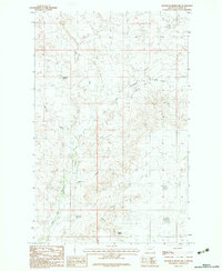 1983 Bullhead Reservoir1983 Print · USGSValley County, Montana, is mapped here in the late 1970s, showcasing the water-scarce terrain of the Fort Peck Indian Reservation. Researchers can trace the drainage of East Fork Porcupine Creek and locate vital water points like Gillman Spring and the Bullhead Reservoir.
 - 1983 Map of Hauck Coulee
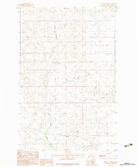 1983 Hauck Coulee1983 Print · USGSBig sky country in Valley County was still a vast landscape of ranching and drainage coulees in the early eighties. Researchers can trace the winding course of Little Porcupine Creek or locate the remote Airstrip near Jack Norris Coulee.
 - 1983 Map of Lookout
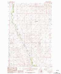 1983 Lookout1983 Print · USGSThe northern Montana plains on the edge of the Fort Peck Indian Reservation Boundary are captured here in the early 1980s. Local researchers can trace land use through features like a Strip Mine and the seasonal waters of Porcupine Creek and Middle Reservoir.
 - 1983 Map of Sargent Creek
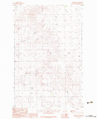 1983 Sargent Creek1983 Print · USGSValley County, Montana, is captured in the late seventies and early eighties as a landscape of prairie drainage and agricultural outposts. Trace the path of Sargent Creek past local landmarks like Anybakken and the various Grainaries that supported the area's grain economy.
 - 1983 Map of Spring Valley West
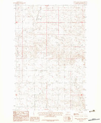 1983 Spring Valley West1983 Print · USGSValley County, Montana, is documented here in the early 1980s, showcasing the high-plains geography of the Fort Peck Indian Reservation. Researchers can trace the drainage of Tomato Can Creek and the settlement at Kolstad among the Hankie Hills.
 - 1983 Map of Uhlan Coulee
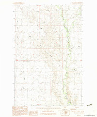 1983 Uhlan Coulee1983 Print · USGSIn the high plains of Valley County during the early 1980s, the landscape is defined by the Fort Peck Indian Reservation Boundary and essential water sources. Researchers can trace the drainage patterns of Uhlan Coulee or locate remote landmarks like Hermans Spring and Ericson Spring.
 - 1983 Map of Todd Lakes SE
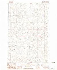 1983 Todd Lakes SE1983 Print · USGSNortheastern Montana ranchlands and the Fort Peck Indian Reservation are captured in the early 1980s, highlighting the area's complex hydrological network. Genealogists and historians can trace the branching paths of Wolf Creek, Middle Fork, and the East Fork.
 - 1983 Map of Scobey, 1984 Print
 1983 Scobey1984 Print · USGSNorthern Montana prairie life during the early eighties centered on the grain-hauling rail lines and the winding Poplar River forks. Genealogists and historians can trace old homesteads near Whitetail, Peerless, and the Fort Peck Indian Reservation Boundary.
 - 1984 Map of O'Juel Lake
 1984 O'Juel Lake1984 Print · USGSThe rolling uplands of Valley County, Montana, appear here in the mid-1980s as a landscape of branching coulees and high hills. Researchers can trace land features like O'Juel Lake, Dashers Spring, and the isolated Furlong Landing Strip.
 - 1984 Map of Hardpan Coulee
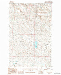 1984 Hardpan Coulee1984 Print · USGSEastern Montana's prairie landscape is recorded here in the mid-1980s, centered on a network of drainages and small ranching reservoirs. Map collectors and researchers can trace the seasonal watercourses of Hardpan Coulee and locate early catchments like VR-2 Reservoir and Beechnut Reservoir.
 - 1984 Map of Lighthouse Hill
 1984 Lighthouse Hill1984 Print · USGSThe high plains along the international border come into focus in the mid-1980s. Historians and researchers can trace the drainage of Tomato Can Creek and Horse Creek or locate landmarks like Lighthouse Hill and Lake Elbert.
 - 1984 Map of Burnett Flats West
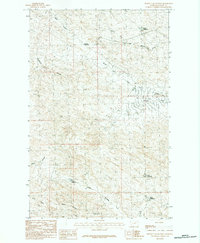 1984 Burnett Flats West1984 Print · USGSThe high plains of Valley County come into focus during the early 1980s, revealing a landscape defined by seasonal water management and rugged coulees. Researchers can trace the drainage of Lone Tree Creek and locate vital catchments like Somers Reservoir and Badger Reservoir.
 - 1984 Map of Bjornberg Bridge
 1984 Bjornberg Bridge1984 Print · USGSThe Milk River valley in the mid-1980s reveals a landscape of ranching and irrigation along the Valley and Phillips county line. Trace local water sources and crossings like Bjornberg Bridge, Mc Chesney Reservoir, and Farmer Spring.
 - 1984 Map of Laundry Hill
 1984 Laundry Hill1984 Print · USGSValley County ranching and water management are frozen in time on this mid-eighties survey of the high plains. Researchers can trace land use through named reservoirs and springs like Trapper Reservoir, Laundry Spring, and Kummerfort Spring.
 - 1984 Map of Burnett Flats East
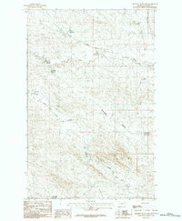 1984 Burnett Flats East1984 Print · USGSValley County ranchlands are documented in the 1980s as an intricate network of water management and drainage. Trace family-named landmarks and water sources like Arrambide Reservoir, Jim Reservoir, and the open expanses of Burnett Flats.
 - 1984 Map of Snake Creek School
 1984 Snake Creek School1984 Print · USGSValley County, Montana, is captured in the mid-1970s and 1980s as a landscape of remote schoolhouses and winding prairie waterways. Researchers can trace the location of the Snake Creek School and the courses of Crow Creek and Big Snake Creek.
 - 1984 Map of Black Calf Reservoir
 1984 Black Calf Reservoir1984 Print · USGSNortheastern Valley County near the international border is captured here in the mid-1980s. Researchers can trace the drainage patterns of Bluff Creek and Hardpan Coulee or locate the Black Calf Reservoir in this remote stretch of the Montana prairie.
 - 1984 Map of Harb
 1984 Harb1984 Print · USGSThe high plains of north-central Montana come into focus during the late 1970s and early 80s as this survey traces the rugged border between Phillips and Valley counties. Researchers can locate the settlement of Harb and follow the branching paths of Moss Coulee and Pickhandle Coulee.
 - 1984 Map of Double S Hill
 1984 Double S Hill1984 Print · USGSNorthern Montana's ranching country is documented here in the mid-seventies, centered on the Milk River and the crossing of Phillips and Valley Counties. Researchers can trace early routes like the Turkey Track or locate water sources like Negro Jakes Spring and Wrights Spring.
 - 1984 Map of Opheim
 1984 Opheim1984 Print · USGSNortheastern Montana’s borderlands are captured here in the mid-1980s, where the high plains meet the international boundary. Researchers can trace the BURLINGTON NORTHERN rail line through small grain-belt settlements like Glentana and Richland or locate the OPHEIM AIR FORCE STATION and several local coal operations like the Sioux City Mine.
Showing maps 1-25 of 63
Top cities of Valley County
Frequently asked questions
- What are the different types of historical maps available for Valley County?
- What is the oldest map of Valley County?
- Where can I purchase historical maps of Valley County for my home or office?
- Where can I download high-res historical maps of Valley County?
- Are there historical topographic maps available for Valley County?
- Is there historical aerial imagery available for Valley County?
- Where are historical maps of Valley County sourced from?