Old Maps of Lexington, Nebraska for Academic Research
Study the evolution of Lexington with 21 high-resolution historic maps. Whether you're teaching, researching, or modeling changes in land use, these maps provide essential visual documentation of urban, environmental, and geographic change.
- Analyze long-term change: Track patterns in development, transportation, and natural features.
- Ideal for environmental or urban studies: Support academic projects with primary historical map data.
- Use in the classroom or lab: Educators and researchers rely on these maps to bring historical context to life.
These maps are a powerful tool for teaching, research, and visualizing how Lexington has changed over the decades.
Lexington, NE maps
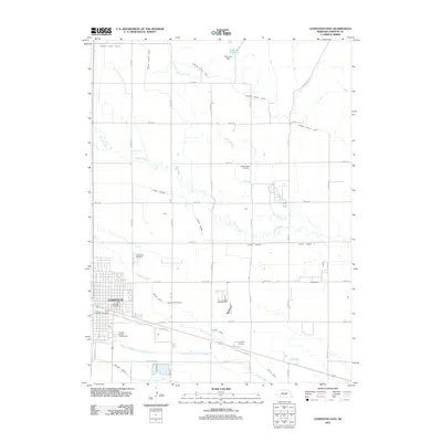
(21)- 1896 Map of Lexington
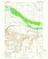
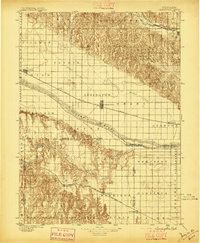 1896 Lexington1896 Print · USGSDawson and Gosper Counties in the mid-1890s are defined by the convergence of the Platte River and competing railroad lines. Genealogists can trace family settlements along the Union Pacific R. R. and the Burlington and Missouri River R. R., locating early sites like Elwood and Coyote.
 - 1899 Map of Lexington
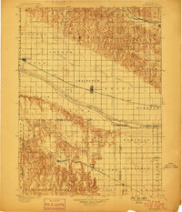 1899 Lexington1899 Print · USGSDawson and Gosper counties are captured during a period of rapid prairie development following the arrival of the transcontinental rails. Genealogists can trace the early grids of rail towns like Lexington and Bertrand or the spans of the Lexington Bridge.7 unique versions available
 - 1955 Map of Grand Island, 1967 Print
 1955 Grand Island1967 Print · USGSCentral Nebraska is seen here during a period of industrial and agricultural growth, centered on the vital Platte River corridor. Researchers can trace the mid-century footprints of the U S Naval Ammunition Depot and the Cornhusker Ordnance Plant.3 unique versions available
 - 1957 Map of Grand Island
 1957 Grand Island1957 Print · USGSCentral Nebraska and Northern Kansas are shown here during a period of massive hydraulic and military expansion in the mid-fifties. Researchers can trace the development of the Harlan County Reservoir and the massive wartime legacy of the Cornhusker Ordnance Plant.
 - 1958 Map of Grand Island
 1958 Grand Island1958 Print · USGSSouth-central Nebraska thrived as a rail and industrial hub during the late fifties, shaped by the braided Platte River. Genealogists and historians can trace rail lines like the Union Pacific RR through towns such as Kearney or locate the sprawling Cornhusker Ordnance Plant.
 - 1962 Map of Lexington West, 1964 Print
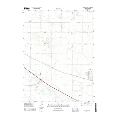
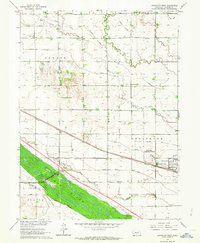 1962 Lexington West1964 Print · USGSDawson County and the Platte River valley are shown in the early sixties as a hub of irrigation and rail transport. Genealogists and historians can trace the local landscape through rural landmarks like School No 38, the Emigrant Trail, and Grace Cem.2 unique versions available
 - 1962 Map of Lexington East, 1964 Print
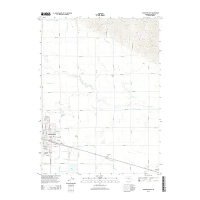
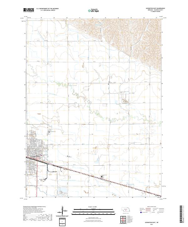
 1962 Lexington East1964 Print · USGSThe Platte River valley near Lexington comes into focus in the early sixties, showing a landscape defined by the Union Pacific and an intricate irrigation system. Genealogists can trace family roots at St Anns Cem or identify old schoolhouses like Horseshoe Bend Sch and School No 17 North.2 unique versions available
 - 1962 Map of Bertrand NW, 1964 Print
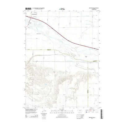
 1962 Bertrand NW1964 Print · USGSThe Platte River valley in the early sixties reveals a landscape in transition as the interstate highway began to carve through Nebraska's agricultural core. Genealogists can locate family-named landmarks like Robb Cem or trace early education at School No 3 and Spring Creek Sch.2 unique versions available
 - 1985 Map of Kearney
 1985 Kearney1985 Print · USGSMid-1980s Nebraska life centers on the fertile Platte River valley during a period of significant agricultural and hydraulic development. Researchers can trace irrigation networks like the Phelps County Canal and find regional landmarks from Johnson Lake to the Union Pacific rail lines.2 unique versions available
 - 2011 Map of Lexington West, 2011 Print
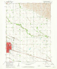
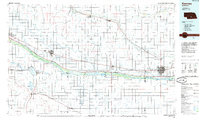
 2011 Lexington West2011 Print · USGSCovers Lexington, including Dawson County, United States, and other nearby areas
 - 2011 Map of Bertrand NW, 2011 Print
 2011 Bertrand NW2011 Print · USGSCovers Lexington, including Dawson County, Phelps County, and other nearby areas
 - 2011 Map of Lexington East, 2011 Print
 2011 Lexington East2011 Print · USGSCovers Lexington, including Donald Price Mobile Home Park, Dawson County, and other nearby areas
 - 2014 Map of Lexington West, 2014 Print
 2014 Lexington West2014 Print · USGSCovers Lexington, including Dawson County, United States, and other nearby areas
 - 2014 Map of Lexington East, 2014 Print
 2014 Lexington East2014 Print · USGSCovers Lexington, including Donald Price Mobile Home Park, Dawson County, and other nearby areas
 - 2014 Map of Bertrand NW, 2014 Print
 2014 Bertrand NW2014 Print · USGSCovers Lexington, including Dawson County, Phelps County, and other nearby areas
 - 2017 Map of Bertrand NW, 2017 Print
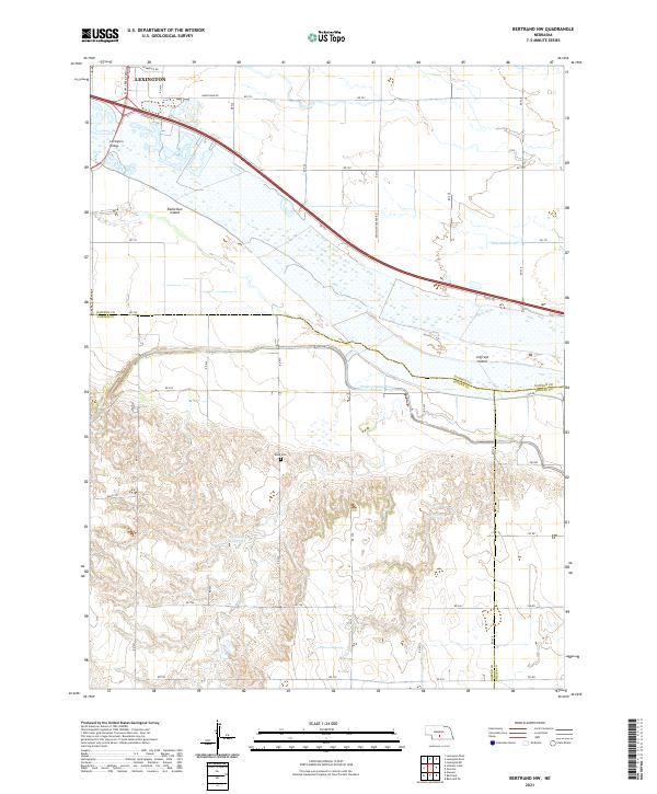
 2017 Bertrand NW2017 Print · USGSCovers Lexington, including Dawson County, Phelps County, and other nearby areas
 - 2017 Map of Lexington East, 2017 Print
 2017 Lexington East2017 Print · USGSCovers Lexington, including Donald Price Mobile Home Park, Dawson County, and other nearby areas
 - 2017 Map of Lexington West, 2017 Print
 2017 Lexington West2017 Print · USGSCovers Lexington, including Dawson County, United States, and other nearby areas
 - 2021 Map of Lexington East, 2021 Print
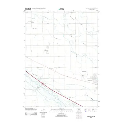
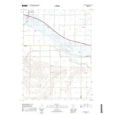
 2021 Lexington East2021 Print · USGSThe Platte River valley in central Nebraska reveals its agricultural and civic character in the early 2020s. Researchers can locate family sites at Greenwood Cem or Evergreen Cem and trace irrigation routes like Lateral Number 2 near Lexington.
 - 2021 Map of Lexington West, 2021 Print
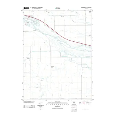
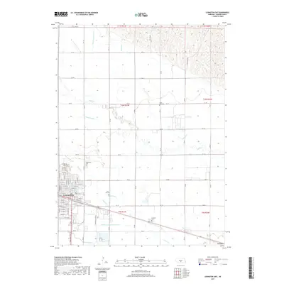
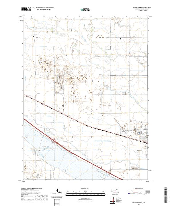 2021 Lexington West2021 Print · USGSDawson County agriculture and the western expansion of Lexington are documented in this recent survey of the Platte River Valley. Researchers can trace irrigation networks like the Cozad Canal or locate family sites at Grace Cem and Hewitt Cem.
 - 2021 Map of Bertrand NW, 2021 Print
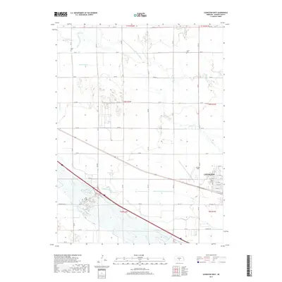
 2021 Bertrand NW2021 Print · USGSThe braided Platte River dominates this Gosper and Dawson County borderland in the early twenty-first century. Researchers can trace the Phelps County Canal and Phillippi Reservoir or find local landmarks like Robb Cem and Jeffreys Island.
End of results
Showing maps 1-21 of 21
Top cities near Lexington
- Cozad historical maps
- Elwood historical maps
- Overton historical maps
- Westmark historical maps
- Smithfield historical maps
Top neighborhoods of Lexington
Frequently asked questions
- What are the different types of historical maps available for Lexington?
- What is the oldest map of Lexington?
- Where can I purchase historical maps of Lexington for my home or office?
- Where can I download high-res historical maps of Lexington?
- Are there historical topographic maps available for Lexington?
- Is there historical aerial imagery available for Lexington?
- Where are historical maps of Lexington sourced from?