2000s (21st Century) Maps of Dixon County, Nebraska
Explore 73 historic maps of Dixon County from the 2000s (21st Century). These maps offer a rare glimpse into what life looked like during the 2000s — showing old roads, neighborhoods, homes, and landmarks that have changed or disappeared over time.
Whether you're researching your family's past, planning a metal detecting trip, or studying how Dixon County's landscape evolved across the 2000s, these high-resolution maps are a powerful tool for exploring the history of this region.
- Focus on a specific era: All maps on this page are from the 2000s, giving you a focused view of this time period.
- See what’s changed: Compare century-old streets, trails, and buildings to today's modern landscape using overlays and satellite layers.
- Research with precision: Use these maps for genealogy, historical research, land use analysis, or educational projects.
- View, download, or print: Maps are fully viewable online in high resolution, and can be downloaded or printed for your own records.
Start exploring Dixon County's history through authentic maps from the 2000s. This is your window into the past.
Dixon County, NE maps
(73)- 2011 Map of Ponca, 2011 Print
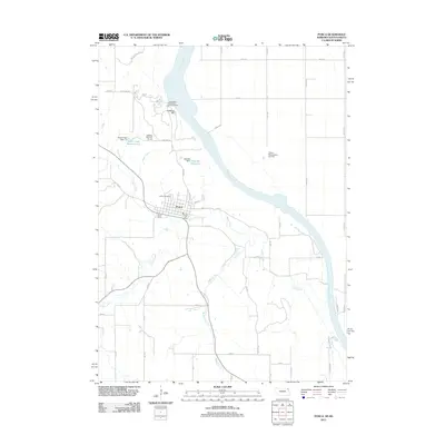 2011 Ponca2011 Print · USGSPonca and the bluffs of the Missouri River valley are captured here in the early twenty-first century. Researchers can locate civic landmarks like the Post Office, trace the grounds of Ponca State Park, and find the Cemetery.
 - 2011 Map of Emerson, 2011 Print
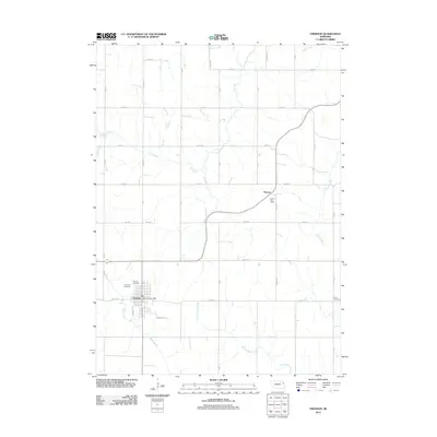 2011 Emerson2011 Print · USGSEmerson and Nacora anchor this Nebraska landscape during the early 2010s, showing a well-established grid of rural section roads and family cemeteries. Genealogists can locate Rose Hill Cemetery, Jopp Cemetery, and the Nacora Post Office amid the drainage of Elk Creek.
 - 2011 Map of Martinsburg, 2011 Print
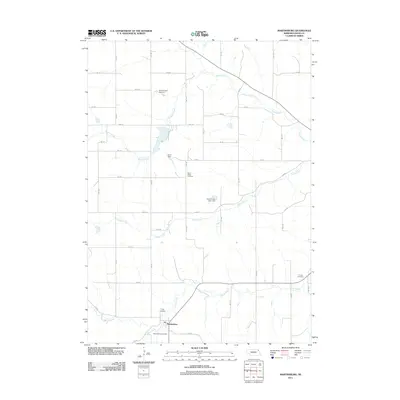 2011 Martinsburg2011 Print · USGSMartinsburg and its surrounding Dixon County farmlands are captured here in the early twenty-first century, showing the enduring rural layout of the region. Researchers can locate numerous local burial sites including Silver Ridge Cemetery and Trinity Cemetery near Aowa Creek.
 - 2011 Map of Waterbury, 2011 Print
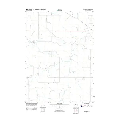 2011 Waterbury2011 Print · USGSDixon County farmland is surveyed here in the early twenty-first century, showing the small communities of Waterbury and Goodwin. Researchers can locate family landmarks like Marcus Cemetery and Wood Cemetery or trace the flows of Otter Creek and Elk Creek.
 - 2011 Map of Martinsburg SW, 2011 Print
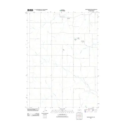 2011 Martinsburg SW2011 Print · USGSDixon County at the start of the 2010s reveals a prairie landscape meticulously organized by section-line roads and watershed management. Genealogists and local historians can locate the Daily Branch Cemetery and trace the paths of Daily Branch and Zekin Lake.
 - 2011 Map of Concord, 2011 Print
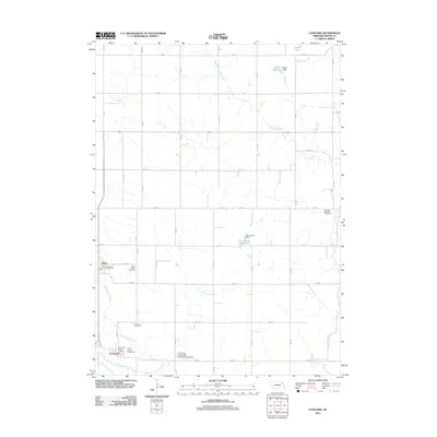 2011 Concord2011 Print · USGSDixon County's agricultural heartland is documented here during the early 2000s, centered on the rural communities of Concord and Dixon. Researchers can locate family landmarks such as Saint Annes Cemetery, the Dixon County Fairground, and the University of Nebraska Experimental Station.
 - 2011 Map of Allen, 2011 Print
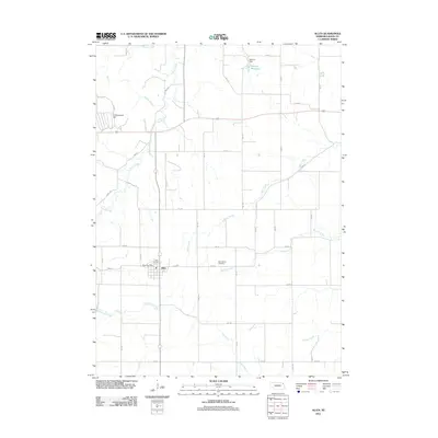 2011 Allen2011 Print · USGSDixon County’s agricultural heartland is documented here in the early twenty-first century as the village of Allen remains a local anchor. Researchers can trace rural landmarks and family plots at Springbank Cemetery or locate the Dohma Reservoir and Cottonwood Hill.
 - 2011 Map of Maskell, 2011 Print
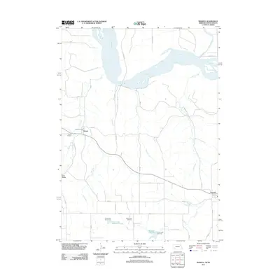 2011 Maskell2011 Print · USGSDixon County's rural character remains on full display in the early twenty-first century as the winding Missouri River forms its northern boundary. Genealogists and local historians can trace the foundations of Maskell, including the Maskell Cemetery and Maskell Post Office.
 - 2011 Map of Wakefield SW, 2011 Print
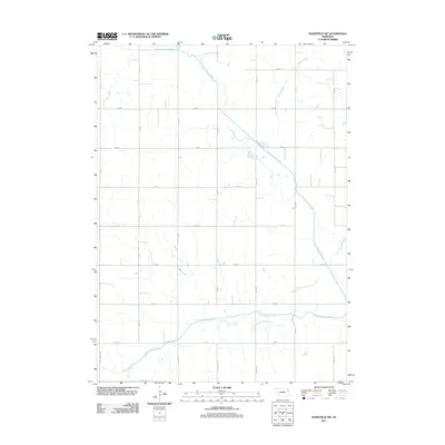 2011 Wakefield SW2011 Print · USGSAgricultural lands southwest of Wakefield are shown in the early twenty-first century, revealing a landscape defined by an orderly section-line road network. Genealogists and researchers can trace rural property access along Centennial Rd and map the hydrologic path of the Logan Creek Dredge and South Logan Creek.
 - 2011 Map of Wakefield, 2011 Print
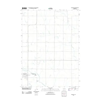 2011 Wakefield2011 Print · USGSWakefield and its surrounding Nebraska farmlands are captured in this early 21st-century survey. Genealogists and local historians can trace the town grid and landmarks like the Wakefield Post Office, the Logan Valley Golf Course, and Logan Creek Dredge.
 - 2011 Map of Laurel, 2011 Print
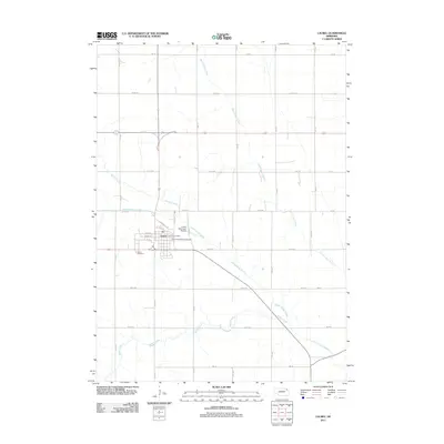 2011 Laurel2011 Print · USGSLaurel sits at the heart of the northeastern Nebraska plains during the early twenty-first century, surrounded by a precise grid of rural section roads. Researchers can locate the Laurel Cemetery, trace the path of the Logan Creek Dredge, or find the Laurel Post Office.
 - 2011 Map of Laurel SE, 2011 Print
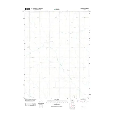 2011 Laurel SE2011 Print · USGSWayne County is shown as a meticulously gridded agricultural landscape at the beginning of the twenty-first century. Researchers can trace rural property boundaries along 865th Rd and the natural course of Dog Creek or Dry Creek.
 - 2011 Map of Obert, 2011 Print
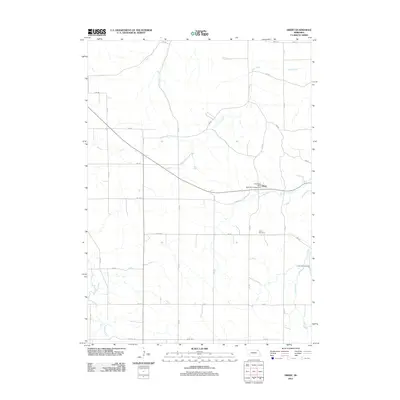 2011 Obert2011 Print · USGSThe village of Obert and its surrounding Cedar County farmsteads are documented here in the early twenty-first century. Researchers can locate the Obert Post Office, trace the path of Ames Creek, and find family sites near Obert Cemetery or Lime Creek Cemetery.
 - 2011 Map of Coleridge SE, 2011 Print
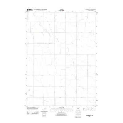 2011 Coleridge SE2011 Print · USGSDixon County's agricultural heartland is documented here in the early twenty-first century, showing the precise grid of section roads and farm access. Genealogists and local historians can trace the course of East Bow Creek or locate landmarks like Hansen Dam and North Logan Creek.
 - 2011 Map of Elk Point, 2011 Print
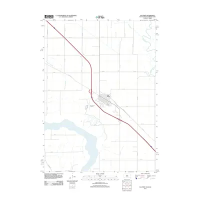 2011 Elk Point2011 Print · USGSThe confluence of the Missouri and Big Sioux Rivers defines this part of Union County during the early twenty-first century. Genealogists and local historians can trace land use around Elk Point, Saint Joseph Cemetery, and the riverfront along 885 Rd.
 - 2012 Map of Meckling, 2012 Print
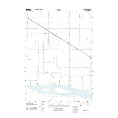 2012 Meckling2012 Print · USGSMeckling and the fertile bottoms of the Missouri River valley are captured here in the early twenty-first century. Genealogists and local historians can locate family plots at Meckling Cem and Taylor Cem or trace the river shoreline near Goat Island.
 - 2012 Map of Vermillion, 2012 Print
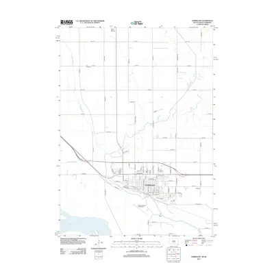 2012 Vermillion2012 Print · USGSThe university city of Vermillion is captured here in the early twenty-first century as it sits between the Missouri and Vermillion Rivers. Researchers can trace the layout of the University of South Dakota and locate landmarks like Spirit Mound and Bluff View Cem.
 - 2012 Map of Elk Point, 2012 Print
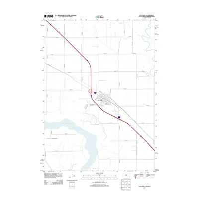 2012 Elk Point2012 Print · USGSElk Point and the Missouri River corridor are captured here in the early twenty-first century, showcasing the tri-state border's rural development. Researchers can locate local landmarks like Saint Joseph Cem, the PO, and the riverside Ponca State Park.
 - 2012 Map of Burbank, 2012 Print
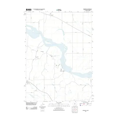 2012 Burbank2012 Print · USGSThe Missouri River borderlands near the South Dakota and Nebraska line appear in this 2012 survey. Genealogists and local historians can locate Ionia Cem and trace the terrain across family-named landmarks like Pumpkin Hill, Lembke Landing, and Rattlesnake Hill.
 - 2014 Map of Laurel SE, 2014 Print
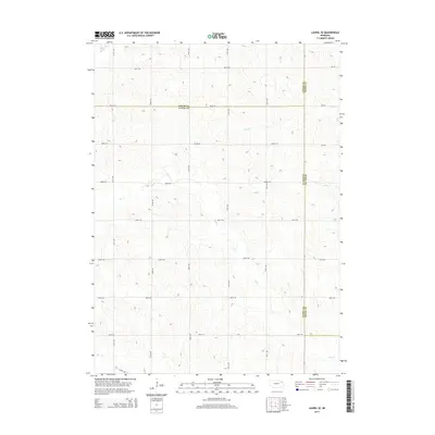 2014 Laurel SE2014 Print · USGSNortheast Nebraska's agricultural heartland is captured here at the turn of the decade, where the borders of Wayne, Cedar, and Dixon counties converge. Researchers can trace the rural road network and the natural drainage of Dog Creek, Dry Creek, and Baker Creek.
 - 2014 Map of Emerson, 2014 Print
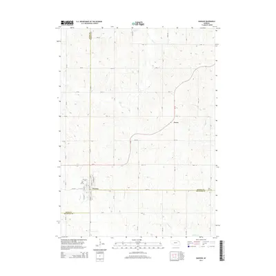 2014 Emerson2014 Print · USGSEmerson and its surrounding farm country appear here at the convergence of three Nebraska counties during the early twenty-first century. Genealogists can locate family landmarks like Rose Hill Cem, Jopp Cem, and the settlement of Nacora.
 - 2014 Map of Concord, 2014 Print
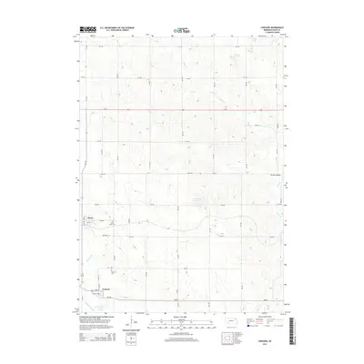 2014 Concord2014 Print · USGSThe rural landscape of Dixon County is captured here in the early 2010s, showing the settled towns of Concord and Dixon. Researchers can locate Saint Annes Cem and Concord Cem, or trace the engineering of the Logan Cr Dredge near the creek's old channel.
 - 2014 Map of Laurel, 2014 Print
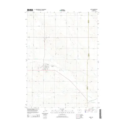 2014 Laurel2014 Print · USGSLaurel and the surrounding agricultural plains of Northeast Nebraska are shown here in the early twenty-first century. Genealogists and local historians can trace the town grid and find Laurel Cem, Logan Cr Dredge, and the Laurel Municipal Airport.
 - 2014 Map of Obert, 2014 Print
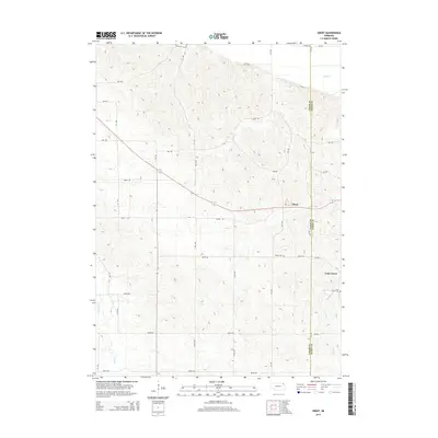 2014 Obert2014 Print · USGSNortheast Nebraska at the start of the 21st century remains defined by its quiet agricultural crossroads and creek-fed valleys. Genealogists and local historians can trace the rural communities of Obert and Lime Grove, and locate the Obert Cem and Lime Creek Cem.
 - 2014 Map of Martinsburg SW, 2014 Print
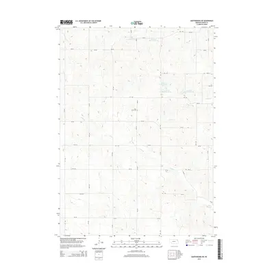 2014 Martinsburg SW2014 Print · USGSDixon County farm country is mapped here during a period of modern water management and established rural road networks. Genealogists and local historians can locate Daily Branch Cem and trace the drainage of Aowa Cr and Daily Br.
Showing maps 1-25 of 73
Top cities of Dixon County
Frequently asked questions
- What are the different types of historical maps available for Dixon County?
- What is the oldest map of Dixon County?
- Where can I purchase historical maps of Dixon County for my home or office?
- Where can I download high-res historical maps of Dixon County?
- Are there historical topographic maps available for Dixon County?
- Is there historical aerial imagery available for Dixon County?
- Where are historical maps of Dixon County sourced from?