2000s (21st Century) Maps of Omaha, Nebraska
Explore 48 historic maps of Omaha from the 2000s (21st Century). These maps offer a rare glimpse into what life looked like during the 2000s — showing old roads, neighborhoods, homes, and landmarks that have changed or disappeared over time.
Whether you're researching your family's past, planning a metal detecting trip, or studying how Omaha's landscape evolved across the 2000s, these high-resolution maps are a powerful tool for exploring the history of this region.
- Focus on a specific era: All maps on this page are from the 2000s, giving you a focused view of this time period.
- See what’s changed: Compare century-old streets, trails, and buildings to today's modern landscape using overlays and satellite layers.
- Research with precision: Use these maps for genealogy, historical research, land use analysis, or educational projects.
- View, download, or print: Maps are fully viewable online in high resolution, and can be downloaded or printed for your own records.
Start exploring Omaha's history through authentic maps from the 2000s. This is your window into the past.
Omaha, NE maps
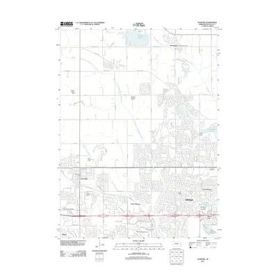
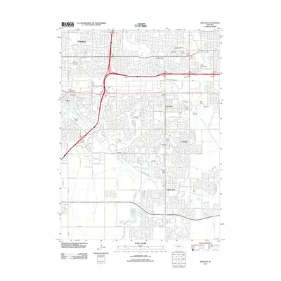
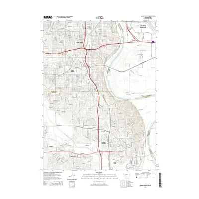
(48)- 2010 Map of Omaha South, 2010 Print
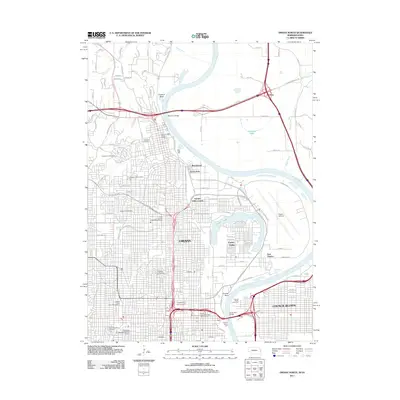
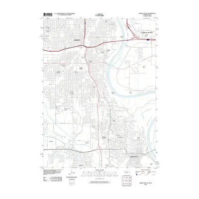 2010 Omaha South2010 Print · USGSCovers Omaha, including Council Bluffs, Bellevue, and other nearby areas
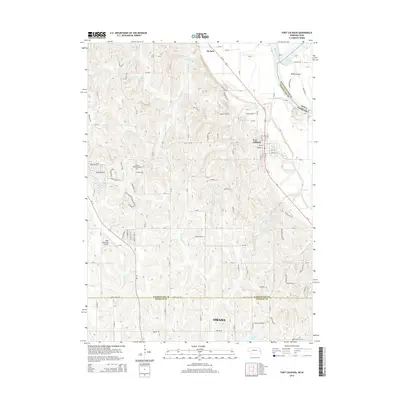
 - 2010 Map of Fort Calhoun, 2010 Print
 2010 Fort Calhoun2010 Print · USGSCovers Omaha, including Fort Calhoun, De Soto, and other nearby areas
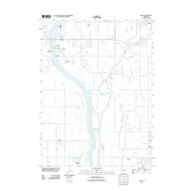
 - 2010 Map of Loveland, 2010 Print
 2010 Loveland2010 Print · USGSCovers Omaha, including Loveland, Grable, and other nearby areas
 - 2010 Map of Council Bluffs North, 2010 Print
 2010 Council Bluffs North2010 Print · USGSCovers Omaha, including Council Bluffs, Crescent, and other nearby areas
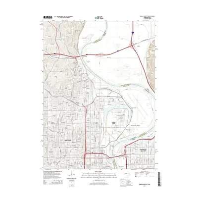
 - 2011 Map of Omaha North, 2011 Print
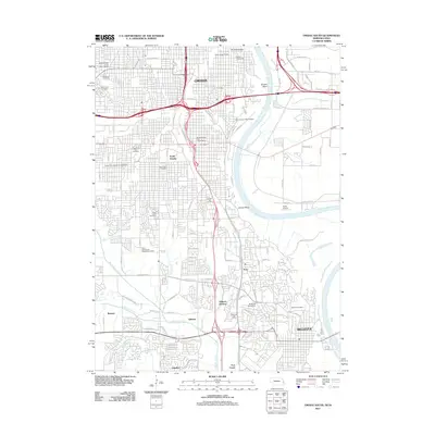
 2011 Omaha North2011 Print · USGSCovers Omaha, including Council Bluffs, Carter Lake, and other nearby areas
 - 2011 Map of Omaha South, 2011 Print
 2011 Omaha South2011 Print · USGSCovers Omaha, including Council Bluffs, Bellevue, and other nearby areas
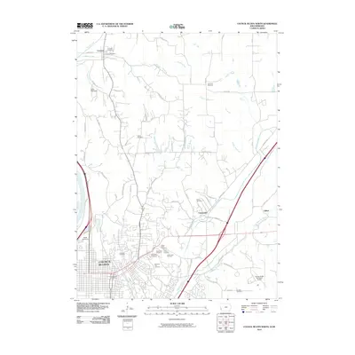
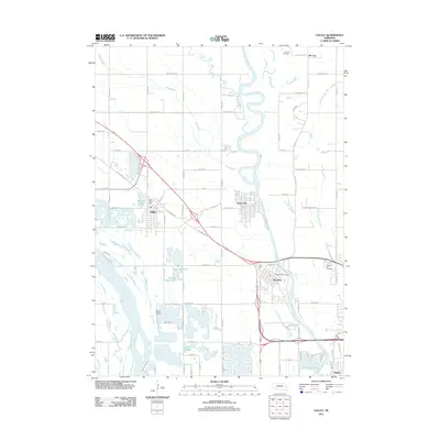
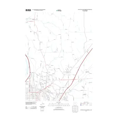
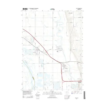
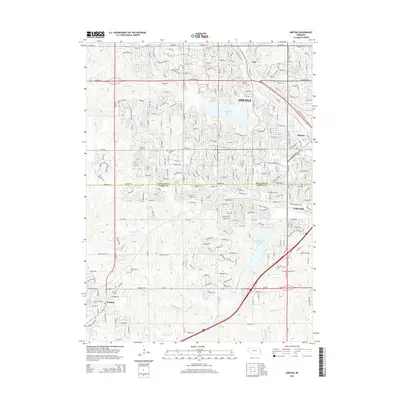
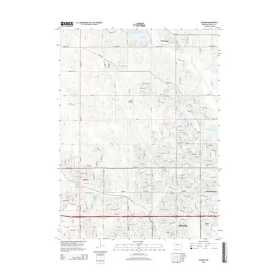
 - 2011 Map of Gretna, 2011 Print
 2011 Gretna2011 Print · USGSCovers Omaha, including Papillion, Gretna, and other nearby areas
 - 2011 Map of Fort Calhoun, 2011 Print
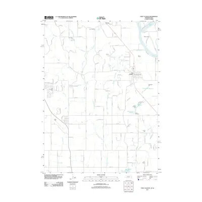 2011 Fort Calhoun2011 Print · USGSCovers Omaha, including Fort Calhoun, De Soto, and other nearby areas
 - 2011 Map of Elkhorn, 2011 Print
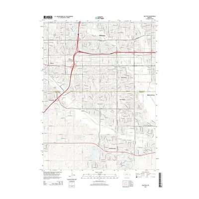
 2011 Elkhorn2011 Print · USGSCovers Omaha, including Bennington, Chicago Precinct, and other nearby areas
 - 2011 Map of Wann, 2011 Print
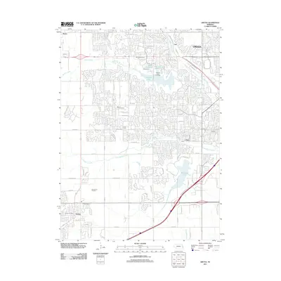
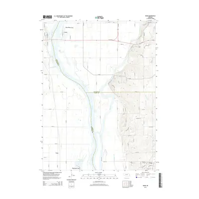
 2011 Wann2011 Print · USGSCovers Omaha, including Gretna, Venice, and other nearby areas
 - 2011 Map of Irvington, 2011 Print
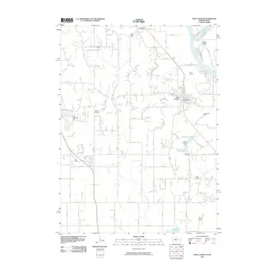
 2011 Irvington2011 Print · USGSCovers Omaha, including Briggs, Debolt, and other nearby areas
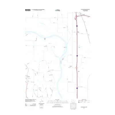
 - 2011 Map of Valley, 2011 Print
 2011 Valley2011 Print · USGSCovers Omaha, including Valley, Waterloo, and other nearby areas
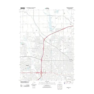
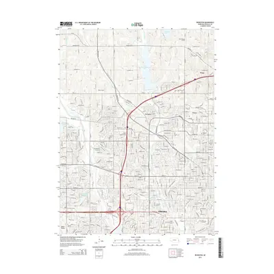
 - 2011 Map of Ralston, 2011 Print
 2011 Ralston2011 Print · USGSCovers Omaha, including Bellevue, Papillion, and other nearby areas
 - 2013 Map of Council Bluffs North, 2013 Print
 2013 Council Bluffs North2013 Print · USGSCovers Omaha, including Council Bluffs, Crescent, and other nearby areas
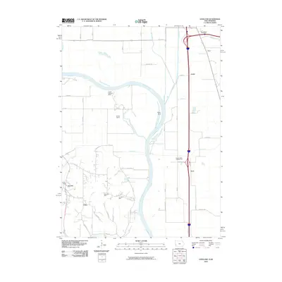
 - 2013 Map of Loveland, 2013 Print
 2013 Loveland2013 Print · USGSCovers Omaha, including Loveland, Grable, and other nearby areas
 - 2014 Map of Omaha North, 2014 Print
 2014 Omaha North2014 Print · USGSCovers Omaha, including Council Bluffs, Carter Lake, and other nearby areas
 - 2014 Map of Omaha South, 2014 Print
 2014 Omaha South2014 Print · USGSCovers Omaha, including Council Bluffs, Bellevue, and other nearby areas
 - 2014 Map of Ralston, 2014 Print
 2014 Ralston2014 Print · USGSCovers Omaha, including Bellevue, Papillion, and other nearby areas
 - 2014 Map of Wann, 2014 Print
 2014 Wann2014 Print · USGSCovers Omaha, including Gretna, Venice, and other nearby areas
 - 2014 Map of Valley, 2014 Print
 2014 Valley2014 Print · USGSCovers Omaha, including Valley, Waterloo, and other nearby areas
 - 2014 Map of Gretna, 2014 Print
 2014 Gretna2014 Print · USGSCovers Omaha, including Papillion, Gretna, and other nearby areas
 - 2014 Map of Irvington, 2014 Print
 2014 Irvington2014 Print · USGSCovers Omaha, including Briggs, Debolt, and other nearby areas
 - 2014 Map of Fort Calhoun, 2014 Print
 2014 Fort Calhoun2014 Print · USGSCovers Omaha, including Fort Calhoun, De Soto, and other nearby areas
 - 2015 Map of Elkhorn, 2015 Print
 2015 Elkhorn2015 Print · USGSCovers Omaha, including Bennington, Chicago Precinct, and other nearby areas
 - 2015 Map of Loveland, 2015 Print
 2015 Loveland2015 Print · USGSCovers Omaha, including Loveland, Grable, and other nearby areas
Showing maps 1-25 of 48
Top cities near Omaha
- Council Bluffs historical maps
- Bellevue historical maps
- Papillion historical maps
- La Vista historical maps
- Blair historical maps
- Ralston historical maps
See more
Top neighborhoods of Omaha
- Debolt historical maps
- Garden Valley Courts historical maps
- East Omaha historical maps
- Skyline historical maps
- Millard historical maps
- South Omaha historical maps
See more
Frequently asked questions
- What are the different types of historical maps available for Omaha?
- What is the oldest map of Omaha?
- Where can I purchase historical maps of Omaha for my home or office?
- Where can I download high-res historical maps of Omaha?
- Are there historical topographic maps available for Omaha?
- Is there historical aerial imagery available for Omaha?
- Where are historical maps of Omaha sourced from?