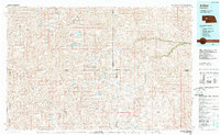
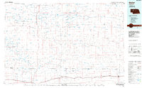
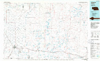
1980s Maps of Grant County, Nebraska
Explore 28 historic maps of Grant County from the 1980s. These maps offer a rare glimpse into what life looked like during the 1980s — showing old roads, neighborhoods, homes, and landmarks that have changed or disappeared over time.
Whether you're researching your family's past, planning a metal detecting trip, or studying how Grant County's landscape evolved across the 1980s, these high-resolution maps are a powerful tool for exploring the history of this region.
- Focus on a specific era: All maps on this page are from the 1980s, giving you a focused view of this time period.
- See what’s changed: Compare century-old streets, trails, and buildings to today's modern landscape using overlays and satellite layers.
- Research with precision: Use these maps for genealogy, historical research, land use analysis, or educational projects.
- View, download, or print: Maps are fully viewable online in high resolution, and can be downloaded or printed for your own records.
Start exploring Grant County's history through authentic maps from the 1980s. This is your window into the past.
Grant County, NE maps
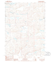
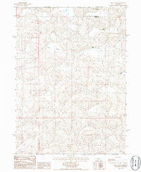
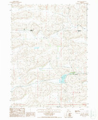
(28)- 1985 Map of Carr Lake
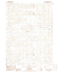
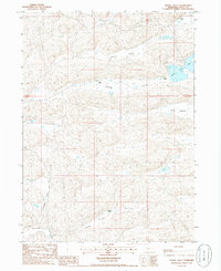
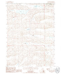
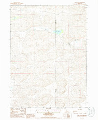 1985 Carr Lake1985 Print · USGSRanching life along the Grant and Hooker County line is captured in the mid-1980s, showing a landscape defined by seasonal water and remote outposts. Genealogists and local historians can trace family-named sites like Carr Ranch, R Carr Ranch, and the waters of Carr Lake.
 - 1985 Map of Arthur
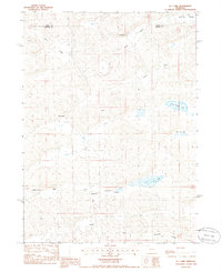
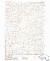
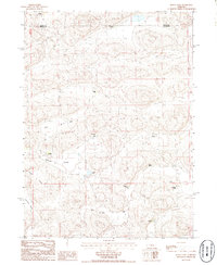
 1985 Arthur1985 Print · USGSThe Nebraska Sandhills in the mid-1980s reveal a landscape of remote cattle ranches and hidden basins between Arthur and Hyannis. Genealogists and historians can trace family-named landmarks and private airfields like the Pioneer Ranch Landing Strip and Haythorn Lake.2 unique versions available
 - 1985 Map of Mullen
 1985 Mullen1985 Print · USGSSettlement in the Nebraska Sandhills followed the rail and river corridors during the mid-twentieth century. Trace the Burlington Northern line through Mullen and Hyannis, or locate family-named landmarks like James Valley and Betsy Creek.2 unique versions available
 - 1985 Map of Alliance, 1986 Print
 1985 Alliance1986 Print · USGSThe High Plains of Box Butte and Sheridan counties come alive in the mid-1980s, centered on the rail hub of Alliance. Genealogists and historians can trace the Burlington Northern line through small sidings and towns like Antioch, Lakeside, and Bingham near the Niobrara River.2 unique versions available
 - 1985 Map of Rosebud Lake, 1986 Print
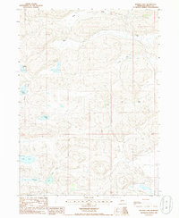
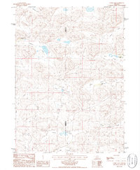
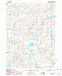
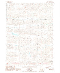
 1985 Rosebud Lake1986 Print · USGSIn the Nebraska Sandhills during the mid-eighties, this survey reveals a landscape of isolated ranching outposts and winding river valleys. Genealogists and historians can trace the remote M Vinton Ranch, S Bar Ranch, and the waters of Rosebud Lake.
 - 1985 Map of Bunner Lake, 1986 Print
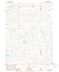
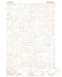
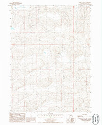
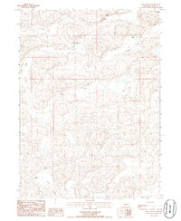
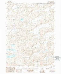
 1985 Bunner Lake1986 Print · USGSGrant County ranching country is captured here in the mid-1980s, showcasing a landscape defined by isolated homesteads and sandhill lakes. Genealogists and historians can locate family landmarks like Buchfinck Ranch, Dyer Ranch, and the eponymous Bunner Lake.
 - 1985 Map of Lena, 1986 Print
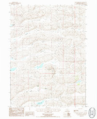
 1985 Lena1986 Print · USGSThe Nebraska Sandhills ranching community of Lena is captured here in the mid-eighties as a network of family-held lands and seasonal basins. Genealogists can trace property names like Box Lake Ranch and Omara Ranch across a landscape of valleys and landmarks like Baldy Hill.
 - 1985 Map of Bean Soup Lake, 1986 Print
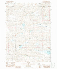 1985 Bean Soup Lake1986 Print · USGSThe Nebraska Sandhills come into sharp focus in the mid-1980s, revealing a landscape defined by isolated ranching outposts and scattered lakes. Genealogists and historians can trace family-named sites like Triangle Ranch, Threemile Ranch, and B Ellingrod Ranch.
 - 1985 Map of Pratt Valley, 1986 Print
 1985 Pratt Valley1986 Print · USGSThe Nebraska Sandhills come into focus in the mid-1980s, showcasing a landscape of isolated cattle ranches and prairie lakes. Researchers can locate family-named operations like Wheelock Ranch and Sheperd Ranch or trace the drainage of Pratt Lake and Winnie Valley.
 - 1985 Map of K C Lake, 1986 Print
 1985 K C Lake1986 Print · USGSThe Nebraska Sandhills come into focus in the mid-eighties as ranching life follows the contours of the valley floors. Researchers can trace the lineage of local holdings like N Kramer Ranch and Frye Ranch or locate the namesake K C Lake.
 - 1985 Map of Crescent Lake, 1986 Print
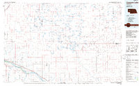 1985 Crescent Lake1986 Print · USGSThe Nebraska Sandhills come into sharp focus in the mid-1980s, centered on the wetlands of Garden County and the North Platte River valley. Researchers can trace the Union Pacific rail line through Broadwater and Lisco, or explore the many named basins within the Crescent Lake National Wildlife Refuge.2 unique versions available
 - 1985 Map of Middle Valley, 1986 Print
 1985 Middle Valley1986 Print · USGSThe Nebraska Sandhills in the mid-eighties show a landscape of isolated cattle operations and seasonal lakebeds. Researchers can trace family ranch sites like Simpson Ranch and Vinton Ranch or locate water sources like Spring Valley Lake.
 - 1985 Map of Spring Valley, 1986 Print
 1985 Spring Valley1986 Print · USGSThe Nebraska Sandhills in the mid-1980s remain a landscape of vast cattle ranges and unique dune hydrology. Researchers can trace historic family-held lands like Egan Ranch and Rothwell Ranch alongside numerous Flowing Wells and the waters of Spring Valley Lake.
 - 1986 Map of Bourquim Hill
 1986 Bourquim Hill1986 Print · USGSThe Nebraska Sandhills come into focus in the mid-1980s at the junction of Arthur, Garden, and Grant counties. Genealogists and historians can locate family ranching landmarks like the F Lane Ranch and isolated water points like Cocklebur Windmill.
 - 1986 Map of Curry Lake
 1986 Curry Lake1986 Print · USGSThe Nebraska Sandhills come alive in the mid-1980s, showing a land of named valleys and isolated cattle ranches. Researchers can locate specific legacy holdings like Open Box Arrow Ranch, Sutton N-Arrow Ranch, and the waters of Curry Lake.
 - 1986 Map of George Lake SE
 1986 George Lake SE1986 Print · USGSThe Grant County Sandhills in the mid-eighties show the isolated ranching landscape of the Nebraska interior. Genealogists and local historians can locate the Lowe Ranch and trace the network of unimproved roads and trails used by cattlemen of the era.
 - 1986 Map of Well Valley
 1986 Well Valley1986 Print · USGSGarden and Grant County ranching country is documented in the mid-1980s, showing a landscape of scattered homesteads and named valleys. Researchers can trace land holdings like the Sutton Buggy Pole Ranch and Hust Ranch within the Well Valley area.
 - 1986 Map of Alkali Lake
 1986 Alkali Lake1986 Print · USGSThe Nebraska Sandhills on the Garden and Grant County border were primarily a landscape of ranching and remote basins in the 1980s. Local researchers can trace family-named landmarks and essential water sources like R Kincaid Lakebed and Potter Lake.
 - 1986 Map of Long Valley
 1986 Long Valley1986 Print · USGSGrant County ranching life in the mid-eighties is captured here through its isolated family homesteads and valley networks. Trace the locations of historic holdings like Merrihew Ranch, Lowe Ranch, and the Burgess Ranch across the shifting sands.
 - 1986 Map of Wild Horse Hill
 1986 Wild Horse Hill1986 Print · USGSThe Nebraska Sandhills in the mid-1980s show a landscape of interdunal valleys and isolated ranching operations. Genealogists and local historians can trace family landholdings at the Arthur Dubs Ranch, Burgess Ranch, and landmarks like Wild Horse Hill.
 - 1986 Map of Hyannis South
 1986 Hyannis South1986 Print · USGSThe sandhills of western Nebraska in the mid-1980s are captured here, centered on the ranching life around Hyannis. Genealogists and historians can trace family land at the Paul Sweet Ranch or Minor Ranch and locate the village Cem.
 - 1986 Map of Jensen Lake
 1986 Jensen Lake1986 Print · USGSThe cattle-ranching heart of the Nebraska Sandhills is captured in the mid-1980s, spanning the border of Grant and Arthur Counties. Researchers can trace the heritage of local families through landmarks like Sillasen Ranch, Jensen Lake, and Rothwell Ranch.
 - 1987 Map of Hire SW
 1987 Hire SW1987 Print · USGSThe Nebraska Sandhills in the mid-1980s are defined by the winding course of the South Branch Middle Loup River. Researchers can trace the tri-county intersection of Cherry, Grant, and Hooker counties across this remote terrain.
 - 1987 Map of Frye Lake, 1988 Print
 1987 Frye Lake1988 Print · USGSThe Nebraska Sandhills come into sharp focus in the late 1980s, revealing a landscape defined by ranching and high-plains hydrology. Genealogists and researchers can trace the vicinity of Duluth and the seasonal waters of Frye Lake and Coles Lake.
 - 1987 Map of Whitman, 1988 Print
 1987 Whitman1988 Print · USGSThe ranching country of the Nebraska Sandhills is captured here during the late eighties, centered on the rail-side community of Whitman. Researchers can locate the Monahan Ranch, trace the Burlington Northern line, or find the local Cem.
Showing maps 1-25 of 28
Top cities of Grant County
Frequently asked questions
- What are the different types of historical maps available for Grant County?
- What is the oldest map of Grant County?
- Where can I purchase historical maps of Grant County for my home or office?
- Where can I download high-res historical maps of Grant County?
- Are there historical topographic maps available for Grant County?
- Is there historical aerial imagery available for Grant County?
- Where are historical maps of Grant County sourced from?