2000s (21st Century) Maps of Rock County, Nebraska
Explore 132 historic maps of Rock County from the 2000s (21st Century). These maps offer a rare glimpse into what life looked like during the 2000s — showing old roads, neighborhoods, homes, and landmarks that have changed or disappeared over time.
Whether you're researching your family's past, planning a metal detecting trip, or studying how Rock County's landscape evolved across the 2000s, these high-resolution maps are a powerful tool for exploring the history of this region.
- Focus on a specific era: All maps on this page are from the 2000s, giving you a focused view of this time period.
- See what’s changed: Compare century-old streets, trails, and buildings to today's modern landscape using overlays and satellite layers.
- Research with precision: Use these maps for genealogy, historical research, land use analysis, or educational projects.
- View, download, or print: Maps are fully viewable online in high resolution, and can be downloaded or printed for your own records.
Start exploring Rock County's history through authentic maps from the 2000s. This is your window into the past.
Rock County, NE maps
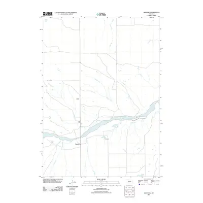
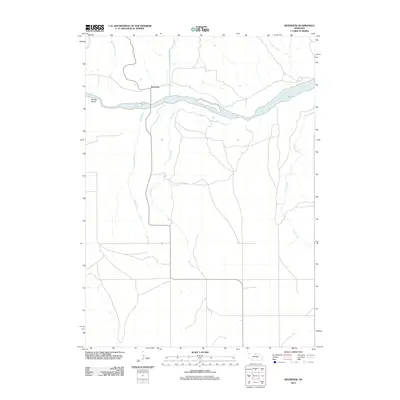
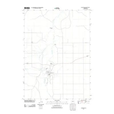
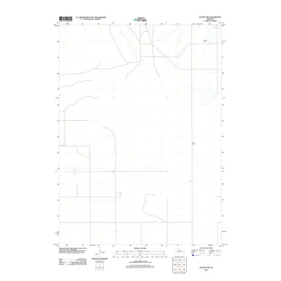
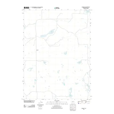
(132)- 2011 Map of Newport NE, 2011 Print
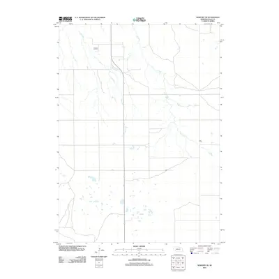 2011 Newport NE2011 Print · USGSCovers Rock County, including United States, Nebraska, and other nearby areas
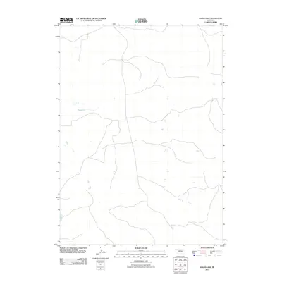
 - 2011 Map of Dora Lake, 2011 Print
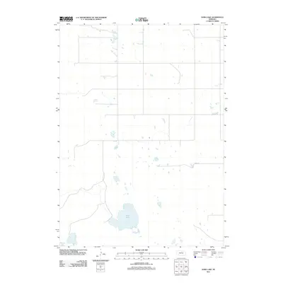 2011 Dora Lake2011 Print · USGSCovers Rock County, including Holt County, United States, and other nearby areas
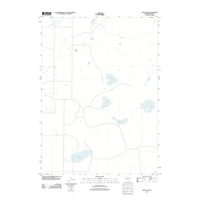
 - 2011 Map of Carson Lake, 2011 Print
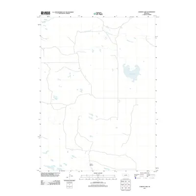 2011 Carson Lake2011 Print · USGSCovers Rock County, including Holt County, Garfield County, and other nearby areas
 - 2011 Map of Stuart, 2011 Print
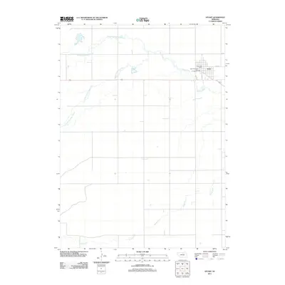 2011 Stuart2011 Print · USGSCovers Rock County, including Stuart, Kaup Trailer Court, and other nearby areas
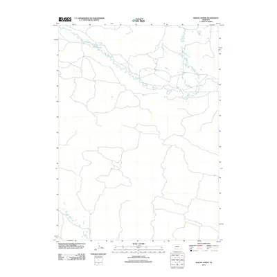
 - 2011 Map of Mariaville, 2011 Print
 2011 Mariaville2011 Print · USGSCovers Rock County, including Mariaville, Holt County, and other nearby areas
 - 2011 Map of Hagan Lake, 2011 Print
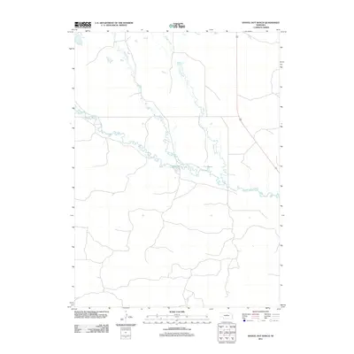
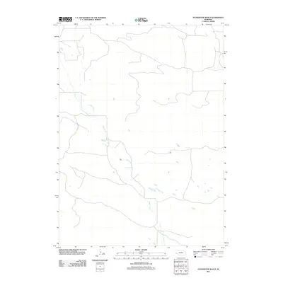
 2011 Hagan Lake2011 Print · USGSCovers Rock County, including Brown County, United States, and other nearby areas
 - 2011 Map of Bassett NW, 2011 Print
 2011 Bassett NW2011 Print · USGSCovers Rock County, including Keya Paha County, Brown County, and other nearby areas
 - 2011 Map of Riverview, 2011 Print
 2011 Riverview2011 Print · USGSCovers Rock County, including Riverview, Keya Paha County, and other nearby areas
 - 2011 Map of Linke Lake, 2011 Print
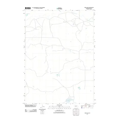 2011 Linke Lake2011 Print · USGSCovers Rock County, including United States, Nebraska, and other nearby areas
 - 2011 Map of Bassett, 2011 Print
 2011 Bassett2011 Print · USGSCovers Rock County, including Bassett, United States, and other nearby areas
 - 2011 Map of Hagan Lake NW, 2011 Print
 2011 Hagan Lake NW2011 Print · USGSCovers Rock County, including Brown County, United States, and other nearby areas
 - 2011 Map of Long Pine, 2011 Print
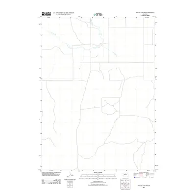
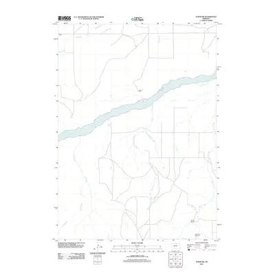
 2011 Long Pine2011 Print · USGSCovers Rock County, including Long Pine, Brown County, and other nearby areas
 - 2011 Map of Stuart NW, 2011 Print
 2011 Stuart NW2011 Print · USGSCovers Rock County, including Holt County, United States, and other nearby areas
 - 2011 Map of Carns, 2011 Print
 2011 Carns2011 Print · USGSCovers Rock County, including Keya Paha County, United States, and other nearby areas
 - 2011 Map of Shovel Dot Ranch, 2011 Print
 2011 Shovel Dot Ranch2011 Print · USGSCovers Rock County, including Loup County, United States, and other nearby areas
 - 2011 Map of Naper SW, 2011 Print
 2011 Naper SW2011 Print · USGSCovers Rock County, including Holt County, Boyd County, and other nearby areas
 - 2011 Map of Sybrant, 2011 Print
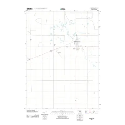
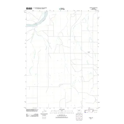
 2011 Sybrant2011 Print · USGSCovers Rock County, including Sybrant, United States, and other nearby areas
 - 2011 Map of Newport, 2011 Print
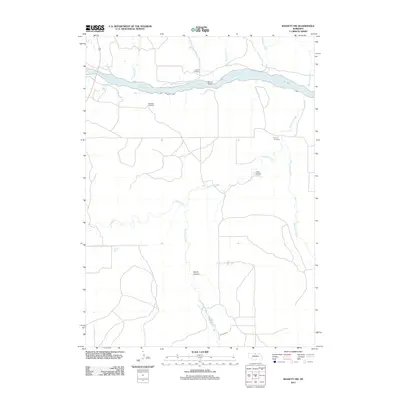
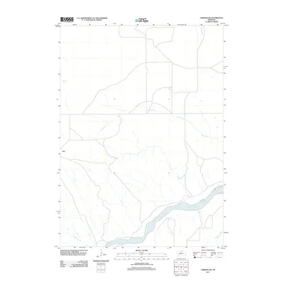
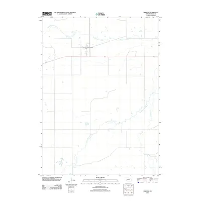 2011 Newport2011 Print · USGSCovers Rock County, including Newport, United States, and other nearby areas
 - 2011 Map of Stonehouse Ranch SW, 2011 Print
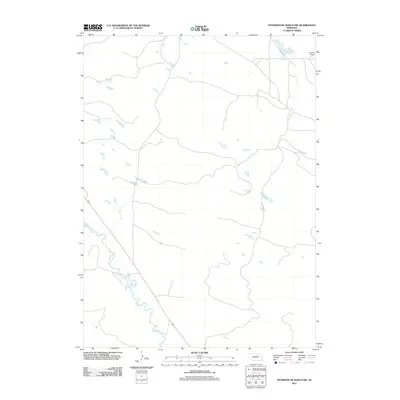 2011 Stonehouse Ranch SW2011 Print · USGSCovers Rock County, including Loup County, United States, and other nearby areas
 - 2011 Map of Rose, 2011 Print
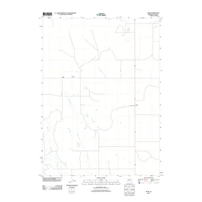 2011 Rose2011 Print · USGSCovers Rock County, including Rose, Duff, and other nearby areas
 - 2011 Map of Pony Lake, 2011 Print
 2011 Pony Lake2011 Print · USGSCovers Rock County, including United States, Nebraska, and other nearby areas
 - 2011 Map of Stonehouse Ranch, 2011 Print
 2011 Stonehouse Ranch2011 Print · USGSCovers Rock County, including Loup County, United States, and other nearby areas
 - 2011 Map of Boiling Spring, 2011 Print
 2011 Boiling Spring2011 Print · USGSCovers Rock County, including Loup County, Brown County, and other nearby areas
 - 2011 Map of Jamison SW, 2011 Print
 2011 Jamison SW2011 Print · USGSCovers Rock County, including Dyer, Keya Paha County, and other nearby areas
 - 2011 Map of Stonehouse Ranch NW, 2011 Print
 2011 Stonehouse Ranch NW2011 Print · USGSCovers Rock County, including United States, Nebraska, and other nearby areas
Showing maps 1-25 of 132
Top cities of Rock County
Frequently asked questions
- What are the different types of historical maps available for Rock County?
- What is the oldest map of Rock County?
- Where can I purchase historical maps of Rock County for my home or office?
- Where can I download high-res historical maps of Rock County?
- Are there historical topographic maps available for Rock County?
- Is there historical aerial imagery available for Rock County?
- Where are historical maps of Rock County sourced from?