2010s Maps of Sherman County, Nebraska
Explore 60 historic maps of Sherman County from the 2010s. These maps offer a rare glimpse into what life looked like during the 2010s — showing old roads, neighborhoods, homes, and landmarks that have changed or disappeared over time.
Whether you're researching your family's past, planning a metal detecting trip, or studying how Sherman County's landscape evolved across the 2010s, these high-resolution maps are a powerful tool for exploring the history of this region.
- Focus on a specific era: All maps on this page are from the 2010s, giving you a focused view of this time period.
- See what’s changed: Compare century-old streets, trails, and buildings to today's modern landscape using overlays and satellite layers.
- Research with precision: Use these maps for genealogy, historical research, land use analysis, or educational projects.
- View, download, or print: Maps are fully viewable online in high resolution, and can be downloaded or printed for your own records.
Start exploring Sherman County's history through authentic maps from the 2010s. This is your window into the past.
Sherman County, NE maps
(60)- 2011 Map of Litchfield SW, 2011 Print
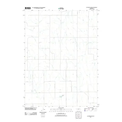 2011 Litchfield SW2011 Print · USGSBuffalo County's agricultural heartland is documented here in the early twenty-first century. Family and local history researchers can trace the intersection of section-line roads and prairie waterways like Unick Reservoir, Sartoria Rd, and Dry Creek.
 - 2011 Map of Hazard, 2011 Print
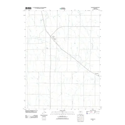 2011 Hazard2011 Print · USGSSherman County at the turn of the decade reveals a settled prairie landscape defined by creek-side communities and a structured grid of rural roads. Researchers can pinpoint the Hazard Post Office, trace the path of Bloody Run Creek, or locate family sites near Hazard Cemetery.
 - 2011 Map of Litchfield NE, 2011 Print
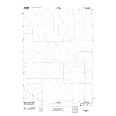 2011 Litchfield NE2011 Print · USGSSherman County's agricultural heartland is documented here in the early twenty-first century, showing the intersection of prairie hydrology and rural infrastructure. Researchers can trace the paths of distinctively named waterways like Bloody Run Creek and Wiggle Creek alongside the local path of Hazard Rd.
 - 2011 Map of Litchfield, 2011 Print
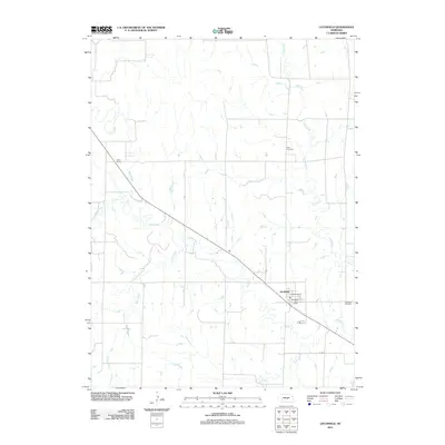 2011 Litchfield2011 Print · USGSSherman County, Nebraska, is seen here in the early twenty-first century, centered on the rail-aligned village of Litchfield. Genealogists and local historians can locate the Gray Cemetery, Litchfield Cemetery, and transportation landmarks like Gavin Siding.
 - 2011 Map of Arcadia SW, 2011 Print
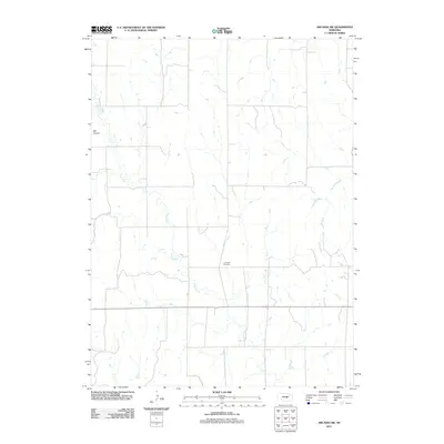 2011 Arcadia SW2011 Print · USGSCuster County in the early twenty-first century remains a landscape of quiet section lines and prairie drainages. Genealogists and local historians can trace the placement of Lone Elm Cemetery and follow the paths of Clear Creek and Ash Canyon.
 - 2011 Map of Arcadia SE, 2011 Print
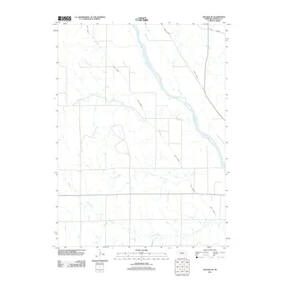 2011 Arcadia SE2011 Print · USGSSherman County agriculture and hydrology are front and center in the early twenty-first century as the plains meet the braided Middle Loup River. Trace the vital irrigation network of Canal Number 3 and Canal Number 4 as they cut across Hays Creek.
 - 2011 Map of Arcadia West, 2011 Print
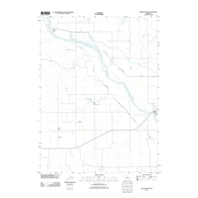 2011 Arcadia West2011 Print · USGSThe village of Arcadia and its surrounding Valley County farmland are shown here in the early twenty-first century. Researchers can trace irrigation networks like Canal Number 3 or locate family sites at Sacred Heart Cemetery and Lee Park Cemetery.
 - 2011 Map of Arcadia East, 2011 Print
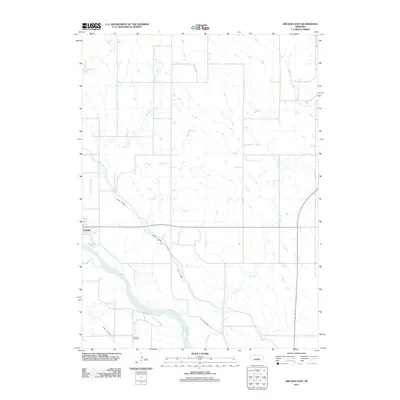 2011 Arcadia East2011 Print · USGSValley County, Nebraska, at the start of the 2010s reveals a prairie landscape shaped by the Middle Loup River and its essential irrigation network. Researchers can locate the Balsora Cemetery and trace the paths of Canal Number 4 near the village of Arcadia.
 - 2011 Map of Ashton, 2011 Print
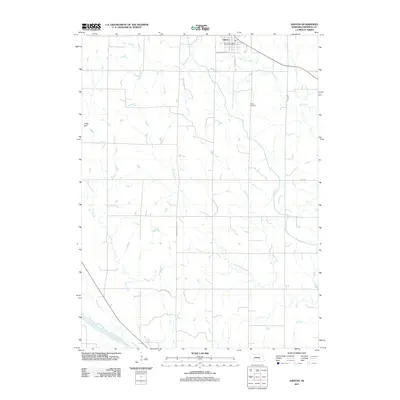 2011 Ashton2011 Print · USGSAshton and the surrounding Sherman County farmland are captured here in the early twenty-first century as the landscape remains centered on its rural roots. Genealogists and local historians can locate Union Cemetery, trace the Middle Loup River, and find the central Ashton Post Office.
 - 2011 Map of Loup City, 2011 Print
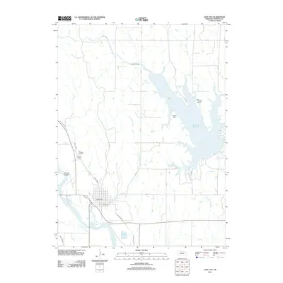 2011 Loup City2011 Print · USGSLoup City and its surrounding farmsteads are shown in the early twenty-first century as the Middle Loup River valley meets the engineered waters of the Sherman Reservoir. Genealogists and local historians can locate Saint Josephats Cemetery, trace Canal Number 4, and explore the developed shoreline of Shaughnessy Bay.
 - 2011 Map of Loup City NW, 2011 Print
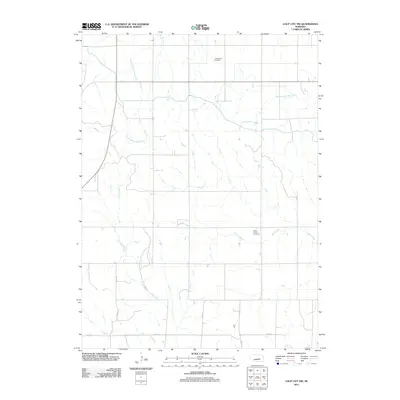 2011 Loup City NW2011 Print · USGSSherman County at the start of the 2010s is characterized by a precise network of rural roads and creek drainages. Researchers can pinpoint long-established local landmarks such as Evangelical Cemetery, Davis Creek Cemetery, and Oak Creek.
 - 2011 Map of Loup City SE, 2011 Print
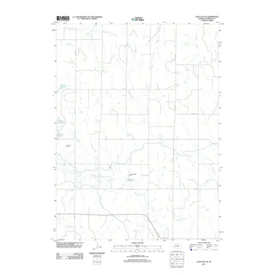 2011 Loup City SE2011 Print · USGSSherman County in the early twenty-first century is a landscape shaped by water management and rural agriculture. Researchers can trace the shoreline of Sherman Reservoir or follow section-line roads like Dannevirke Rd and Ashton Hwy.
 - 2011 Map of Rockville, 2011 Print
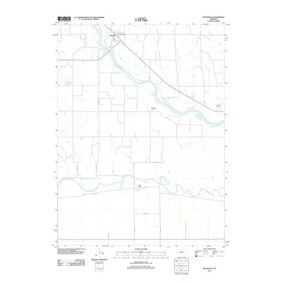 2011 Rockville2011 Print · USGSThe rural river valleys of central Nebraska are captured here just over a decade ago, showcasing the agricultural grid surrounding Rockville. Researchers can trace local heritage at Hayestown Cemetery and Soulville Cemetery or locate landmarks like the Rockville Post Office.
 - 2011 Map of Ravenna, 2011 Print
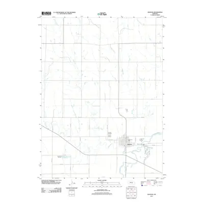 2011 Ravenna2011 Print · USGSRavenna and the South Loup River valley are captured here in the early 21st century, showing the intersection of rural agriculture and river-basin geography. Researchers can trace local lineage through Highland Cemetery or explore the geography of Ravenna Lake State Park and Pease Reservoir Number 1.
 - 2011 Map of Boelus, 2011 Print
 2011 Boelus2011 Print · USGSCentral Nebraska river valleys come into focus in this early twenty-first century survey of the Howard and Buffalo county lines. Genealogists and local historians can trace the rural communities of Boelus and Saint Michael, alongside the Swedish Cemetery.
 - 2011 Map of Farwell, 2011 Print
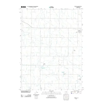 2011 Farwell2011 Print · USGSThe village of Farwell and its surrounding agricultural plains are documented here during the early twenty-first century. Genealogists can locate several family and community burial sites including the Danish Cemetery, Kelso Cemetery, and Ebenezer Cemetery.
 - 2011 Map of Cotesfield, 2011 Print
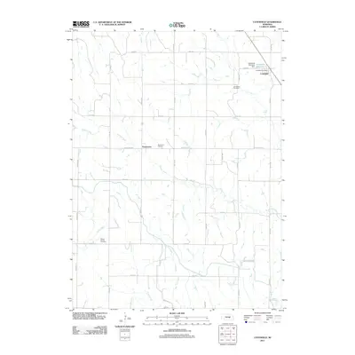 2011 Cotesfield2011 Print · USGSCotesfield and the surrounding Nebraska prairie are captured here in a period of settled agricultural stability. Genealogists and local historians can trace family locations near Dannevirke, Cotesfield, and several rural burial grounds including Saint Mary Cemetery.
 - 2011 Map of North Loup, 2011 Print
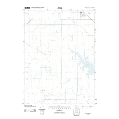 2011 North Loup2011 Print · USGSThe village of North Loup and its surrounding irrigation networks are captured here in the early twenty-first century. Researchers can locate the Hillside Cemetery and North Loup Post Office, or trace the vital Ord North Loup Canal as it feeds the local valley.
 - 2011 Map of Scotia, 2011 Print
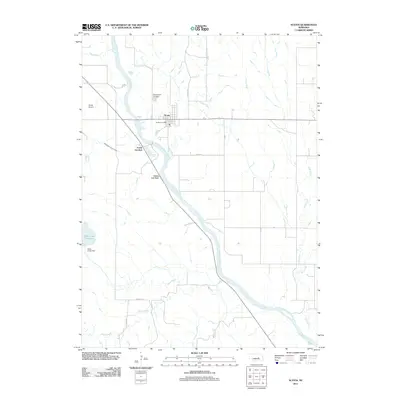 2011 Scotia2011 Print · USGSScotia and the surrounding river valley are captured here in the early twenty-first century, showing a landscape defined by irrigation and the North Loup River. Researchers can trace local landmarks like Mount Hope Cemetery, the engineering of the Davis Creek Dam, and the heights of Happy Jack Peak.
 - 2011 Map of Ravenna NW, 2011 Print
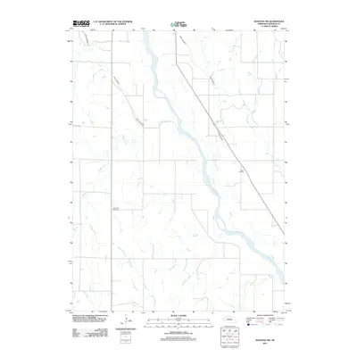 2011 Ravenna NW2011 Print · USGSSherman County's agricultural landscape is defined by the sweeping Middle Loup River and an intricate network of irrigation canals in the early 2000s. Genealogists and local historians can locate Verdurette Cemetery and Austin Cemetery set among several waterways like Wiggle Creek.
 - 2014 Map of Litchfield SW, 2014 Print
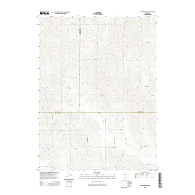 2014 Litchfield SW2014 Print · USGSBuffalo County agriculture meets the borders of Custer and Sherman Counties in this modern survey of the Nebraska plains. Genealogists and local historians can trace the rural landscape near Pleasant Valley and identify family land around Unick Reservoir and Oak Cr.
 - 2014 Map of Rockville, 2014 Print
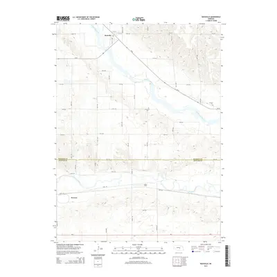 2014 Rockville2014 Print · USGSSherman and Buffalo counties are shown here as they appeared in the early twenty-first century, centered on the Loup River systems. Genealogists can locate family landmarks such as Hayestown Cem, Soulville Cem, and the rural landing at Noble Field.
 - 2014 Map of Boelus, 2014 Print
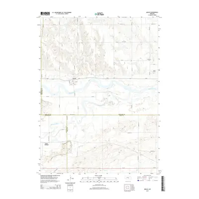 2014 Boelus2014 Print · USGSCentral Nebraska river valleys meet at the confluence of the Middle Loup River and South Loup River during the early twenty-first century. Researchers can trace rural lineages at the Swedish Cem and Loup Fork Cem near the village of Boelus.
 - 2014 Map of Arcadia SE, 2014 Print
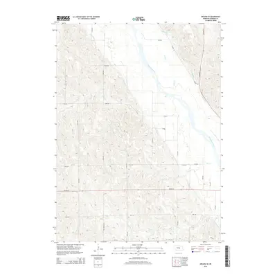 2014 Arcadia SE2014 Print · USGSSherman County agriculture and water management are on full display in the early twenty-first century as the section-line roads carve through the Nebraska plains. Trace the intricate irrigation network of Canal Number 1 and Canal Number 4 alongside the Middle Loup River.
 - 2014 Map of Loup City SE, 2014 Print
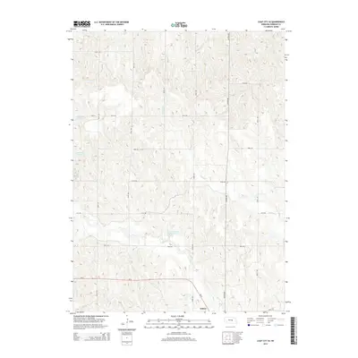 2014 Loup City SE2014 Print · USGSSherman County agriculture and water management are the focus of this modern survey of the Nebraska prairie. Genealogists and researchers can trace the rural road network surrounding Ashton and identify land features like Sherman Reservoir and Lewandowski Reservoir.
Showing maps 1-25 of 60
Top cities of Sherman County
- Loup City historical maps
- Litchfield historical maps
- Ashton historical maps
- Rockville historical maps
- Hazard historical maps
Frequently asked questions
- What are the different types of historical maps available for Sherman County?
- What is the oldest map of Sherman County?
- Where can I purchase historical maps of Sherman County for my home or office?
- Where can I download high-res historical maps of Sherman County?
- Are there historical topographic maps available for Sherman County?
- Is there historical aerial imagery available for Sherman County?
- Where are historical maps of Sherman County sourced from?