2020s Maps of Lyon County, Nevada
Explore 56 historic maps of Lyon County from the 2020s. These maps offer a rare glimpse into what life looked like during the 2020s — showing old roads, neighborhoods, homes, and landmarks that have changed or disappeared over time.
Whether you're researching your family's past, planning a metal detecting trip, or studying how Lyon County's landscape evolved across the 2020s, these high-resolution maps are a powerful tool for exploring the history of this region.
- Focus on a specific era: All maps on this page are from the 2020s, giving you a focused view of this time period.
- See what’s changed: Compare century-old streets, trails, and buildings to today's modern landscape using overlays and satellite layers.
- Research with precision: Use these maps for genealogy, historical research, land use analysis, or educational projects.
- View, download, or print: Maps are fully viewable online in high resolution, and can be downloaded or printed for your own records.
Start exploring Lyon County's history through authentic maps from the 2020s. This is your window into the past.
Lyon County, NV maps
(56)- 2021 Map of Silver Springs South, 2021 Print
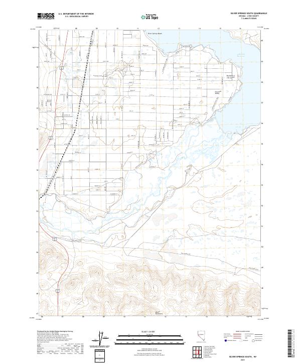 2021 Silver Springs South2021 Print · USGSThe northern shores of the reservoir and the high-desert valley are surveyed here in the early twenty-first century. Researchers can trace the historical Pony Express Rte through Churchill Valley and explore the residential growth near Silver Springs Beach.
 - 2021 Map of Yerington NE, 2021 Print
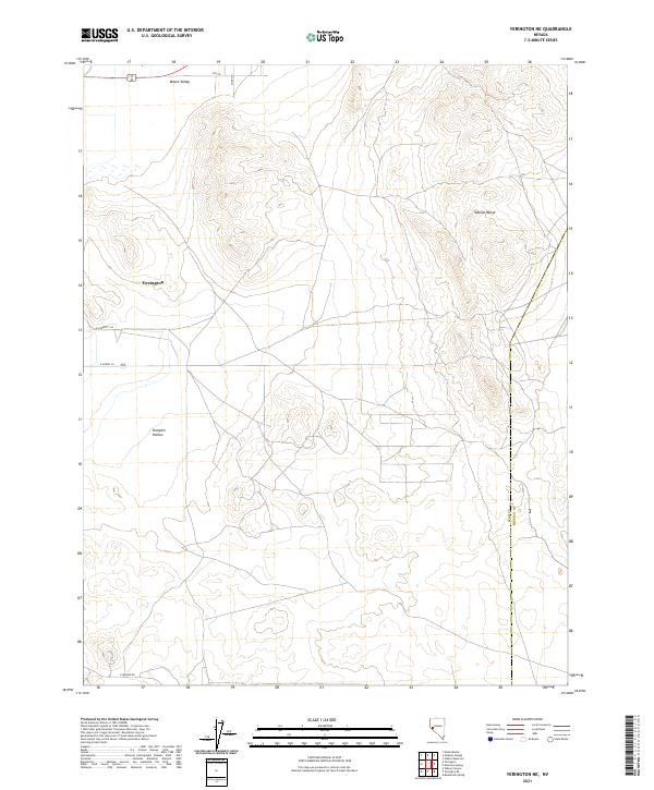 2021 Yerington NE2021 Print · USGSIn the high desert of western Nevada, the eastern edge of the Mason Valley meets the Wassuk Range near the turn of the decade. Researchers can trace the rural road grid near Yerington and locate landmarks like Pumpkin Hollow.
 - 2021 Map of Wichman Canyon, 2021 Print
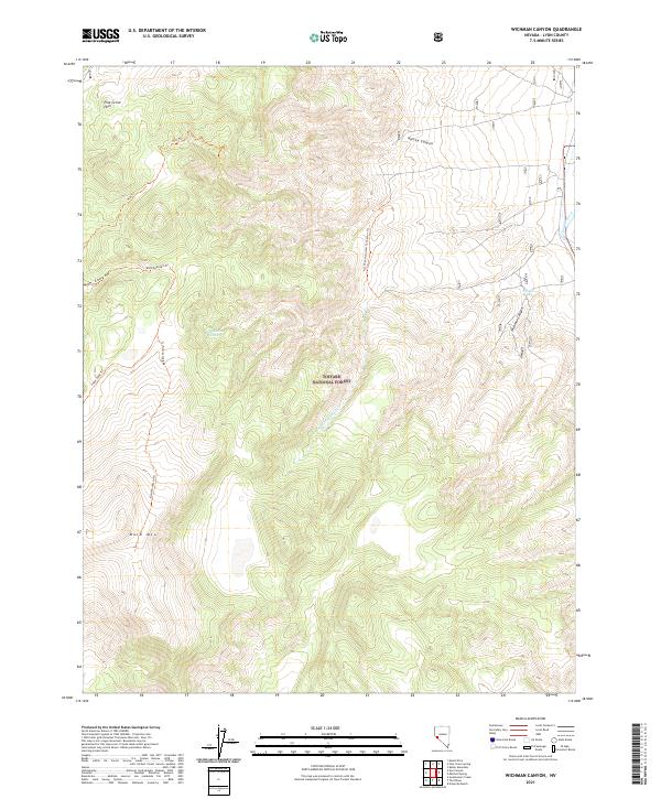 2021 Wichman Canyon2021 Print · USGSLyon County high country is mapped here in the early twenty-first century, showcasing the terrain of the Toiyabe National Forest. Researchers and hikers can trace remote routes like Sweet Peak Trl or locate the eastern waters of the East Walker River.
 - 2021 Map of Yerington SE, 2021 Print
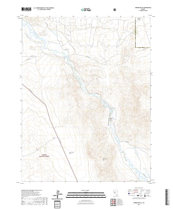 2021 Yerington SE2021 Print · USGSLyon and Mineral counties in the 2020s show a landscape defined by the East Walker River and its intricate network of irrigation ditches. Researchers can trace land use patterns near Lantana Ranch Airport or explore the terrain of Pumpkin Hollow and the Cambridge Hills.
 - 2021 Map of Artesia Lake, 2021 Print
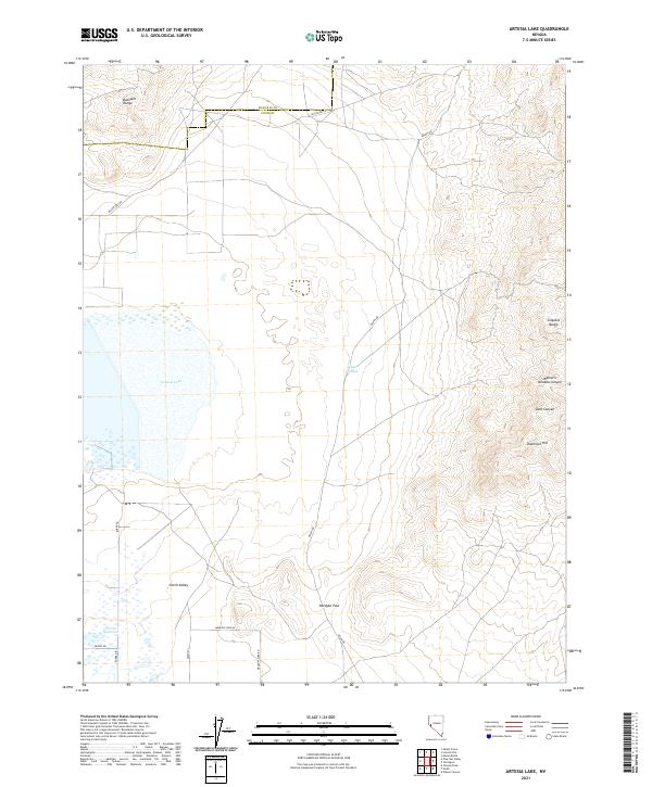 2021 Artesia Lake2021 Print · USGSLyon County and the high desert of western Nevada are captured in this recent survey. Researchers can trace land use patterns around Artesia Lake and locate landmarks like Delphi Springs and Nordyke Pass.
 - 2021 Map of Pine Grove Spring, 2021 Print
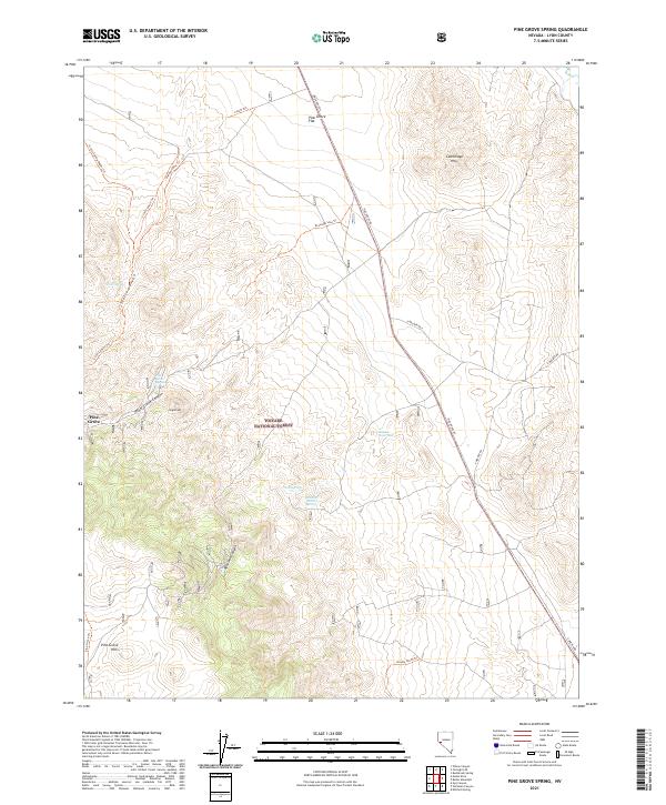 2021 Pine Grove Spring2021 Print · USGSLyon County at the start of the 2020s remains a landscape of high canyons and vital water sources. Genealogists and historians can trace the geography around Pine Grove and remote landmarks like Webster Summit Spring and the Cambridge Hills.
 - 2021 Map of Churchill Butte, 2021 Print
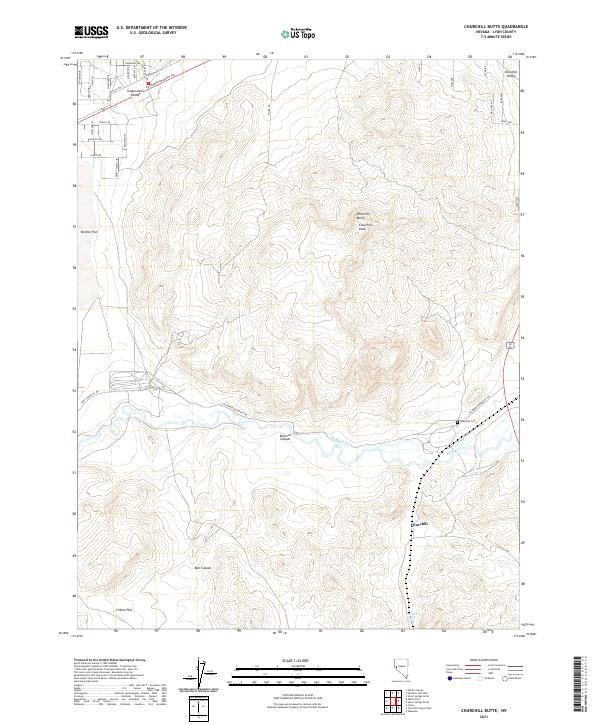 2021 Churchill Butte2021 Print · USGSThe high desert of Lyon County is captured here in recent years, showing the intersection of historical transit and modern land management. Researchers can trace the path of the California Emigrant Trl and locate landmarks like the Churchill Cem and Churchill Station Spring.
 - 2021 Map of Mount Etna, 2021 Print
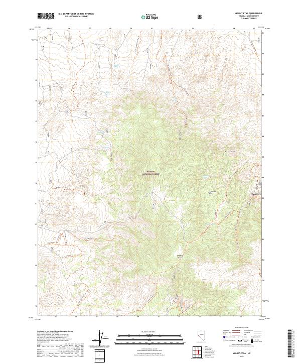 2021 Mount Etna2021 Print · USGSLyon County high country is shown in detail during the early twenty-first century, featuring the rugged slopes of the Pine Grove Hills. Researchers can trace old routes near Pine Grove or locate remote landmarks like Beechers Spring and Lobdell Summit.
 - 2021 Map of Russell Spit, 2021 Print
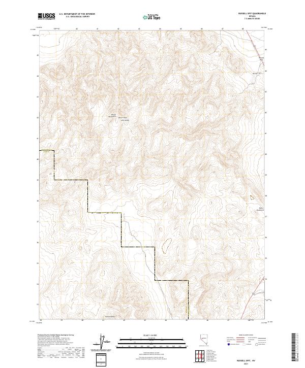 2021 Russell Spit2021 Print · USGSThe Nevada high desert at the Churchill and Lyon county line is revealed in this recent survey of the Basin and Range province. Trace the elevation from Desert Peak down to the distinct geological formations of Russell Spit and the wide base of Painted Mesa.
 - 2021 Map of Pine Nut Valley, 2021 Print
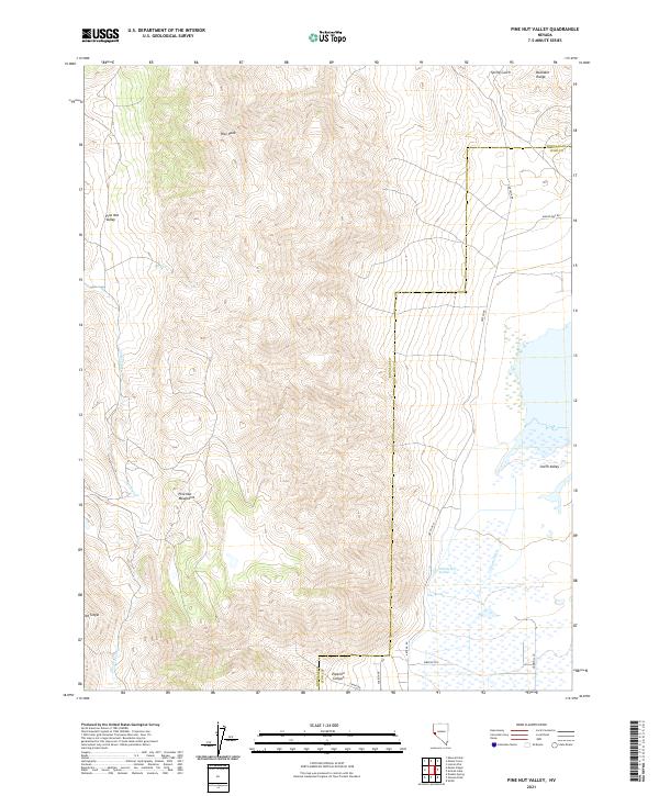 2021 Pine Nut Valley2021 Print · USGSThe Douglas and Lyon county line divides this high-country landscape during the early twenty-first century. Researchers can trace the path of the Simpson Trl and locate vital water sources like Nevada Hot Springs and Iron Spring.
 - 2021 Map of Martin Canyon, 2021 Print
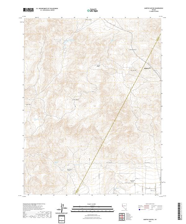 2021 Martin Canyon2021 Print · USGSStorey County's high desert landscape is mapped here in the early 2020s, showing the intersection of mining history and modern rural growth. Local researchers can trace water sources like Blackhawk Spring and landmark elevations such as Ramsey Summit and San Juan Hill.
 - 2021 Map of Wilson Canyon, 2021 Print
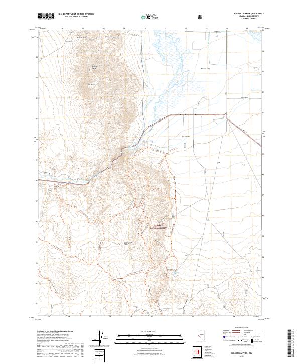 2021 Wilson Canyon2021 Print · USGSThe West Walker River carves through this Lyon County landscape in the 2020s, revealing a desert terrain defined by deep canyons and irrigation. Trace local landmarks like Wilson Hot Spring, Elm Tree Cem, and the rugged peaks of the Singatse Range.
 - 2021 Map of Smith, 2021 Print
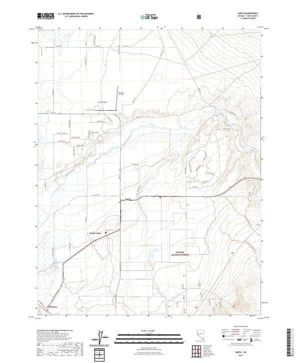 2021 Smith2021 Print · USGSThe rural landscapes of Lyon County are captured here in the twenty-first century, showing the enduring ranching layout of Smith Valley. Researchers can trace local genealogy and property lines near Wellington, Hillcrest Cem, and the West Walker River.
 - 2021 Map of Butler Mountain, 2021 Print
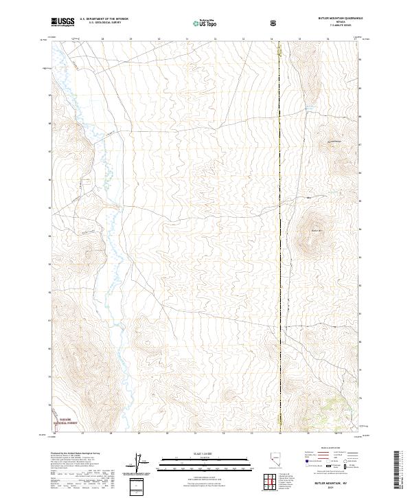 2021 Butler Mountain2021 Print · USGSThe East Walker River valley and the heights of the Wassuk Range come into focus in this recent survey of Lyon County. Trace the paths of E Walker Rd and isolated watering points like Buckbrush Spring and Big Spring.
 - 2021 Map of Silver Springs North, 2021 Print
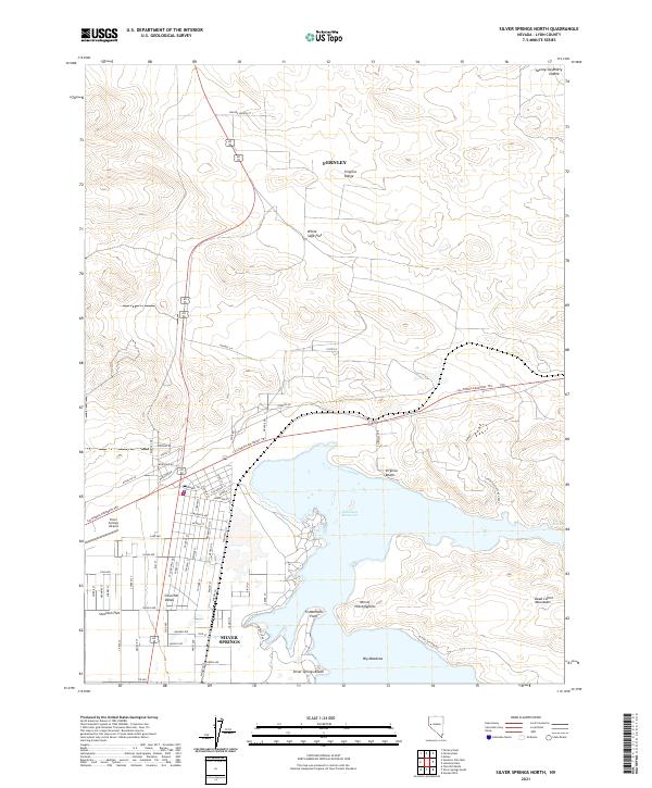 2021 Silver Springs North2021 Print · USGSSilver Springs and the Lahontan Reservoir shoreline are captured in this recent survey of the Nevada high desert. Researchers can trace the path of the California Emigrant Trl and locate landmarks like the Mtn of Hieroglyphics and Silver Springs Airport.
 - 2021 Map of Mitchell Spring, 2021 Print
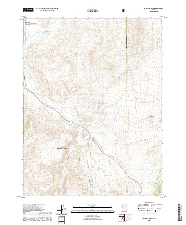 2021 Mitchell Spring2021 Print · USGSThe Lyon and Mineral county line divides this stretch of the Nevada desert during the early twenty-first century. Genealogists and historians can trace the course of the East Walker River and locate remote landmarks like Mitchell Spring and Lapham Canyon.
 - 2021 Map of Hinkson Slough, 2021 Print
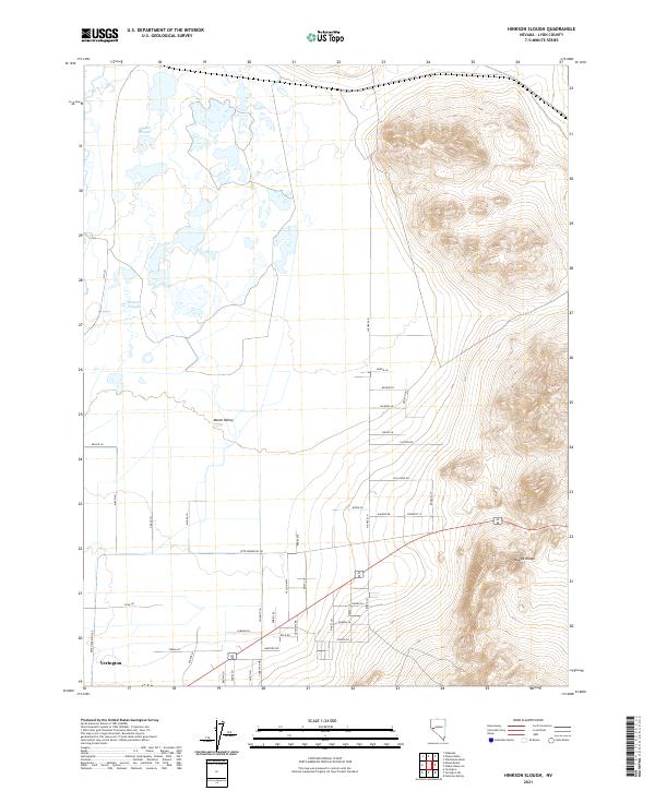 2021 Hinkson Slough2021 Print · USGSLyon County and the outskirts of Yerington come into focus in this contemporary survey of the valley and mountains. Genealogists and local historians can trace land use through named routes like Pete Hendricks RD and water features like Hinkson Slough.
 - 2021 Map of Ninemile Ranch, 2021 Print
 2021 Ninemile Ranch2021 Print · USGSLyon and Mineral Counties are shown during the early twenty-first century as a landscape of forest land and river canyons. Researchers can trace the path of the East Walker River, locate Booker Hot Spring, and find the remote Homestead Mine Trl.
 - 2021 Map of Wabuska, 2021 Print
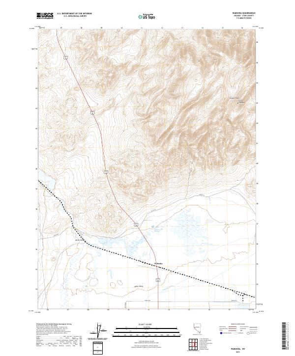 2021 Wabuska2021 Print · USGSLyon County in the 2020s remains a landscape defined by desert hydrology and mountain passes. Trace the water systems of the Mason Valley from the Wabuska Drain to Wabuska Hot Springs, and explore the high slopes of Cleaver Peak.
 - 2021 Map of Fernley East, 2021 Print
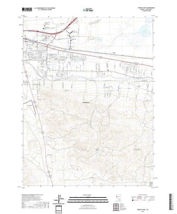 2021 Fernley East2021 Print · USGSFernley and the western edge of the desert are captured in the early 2020s as modern industry meets old transit corridors. Trace local landmarks like the Northern Nevada Veterans Memorial Cem, Samsarg Field, and the vital Truckee Canal.
 - 2021 Map of Stockton Flat Well, 2021 Print
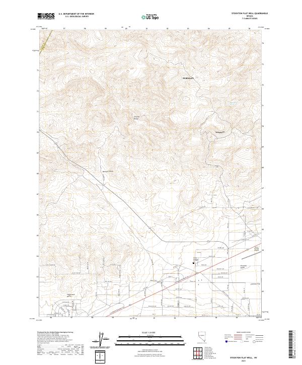 2021 Stockton Flat Well2021 Print · USGSLyon County at the start of the 2020s shows a landscape where historical trails meet modern expansion. Genealogists and local historians can trace the development of Stagecoach Valley and Stockton Flat near landmarks like Desert Memorial Gardens.
 - 2021 Map of Churchill Canyon Well, 2021 Print
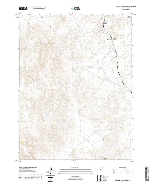 2021 Churchill Canyon Well2021 Print · USGSIn the arid basins of Lyon County during the early twenty-first century, this survey tracks the water sources and landforms of the western Great Basin. Researchers can trace historic access points like Churchill Canyon Spring and navigate through the Churchill Narrows and Adrian Valley.
 - 2021 Map of Mason Butte, 2021 Print
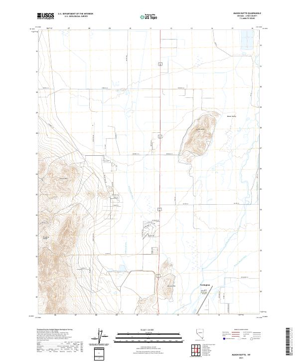 2021 Mason Butte2021 Print · USGSLyon County ranching and the high desert terrain of the Mason Valley are preserved in this modern topographic record. Trace the water-driven economy through the Walker River and W Campbell Ditch, or scout the Singatse Range foothills.
 - 2021 Map of Mineral Peak, 2021 Print
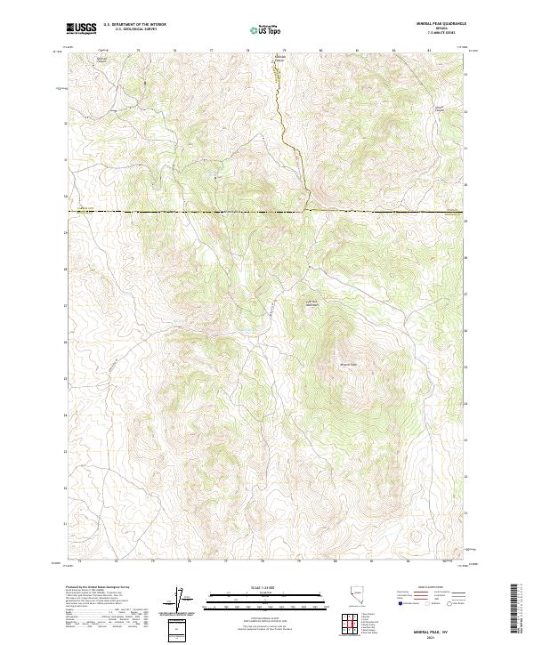 2021 Mineral Peak2021 Print · USGSHigh-desert ridges and hidden water sources define this Douglas County terrain as it appeared in recent years. Researchers can trace the rugged access along Sunrise Pass Rd to find specific landmarks like Mineral Peak, Erastra Spring, and Sullivan Canyon.
 - 2021 Map of Flowery Peak, 2021 Print
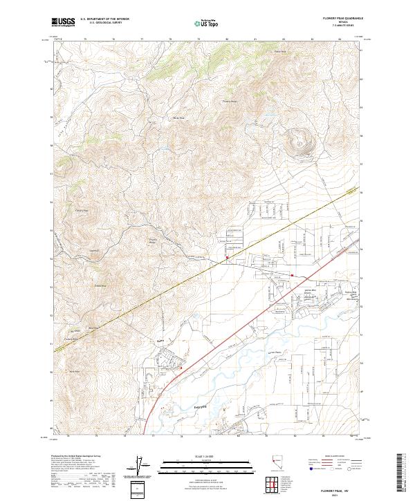 2021 Flowery Peak2021 Print · USGSStorey and Lyon Counties are captured here in 2021, showing the modern suburban expansion of Dayton against the backdrop of the Comstock mining legacy. Researchers can locate the historic site of Sutro and trace the paths of Sutro Tunnel Rd and Sixmile Canyon.
Showing maps 1-25 of 56
Top cities of Lyon County
- Fernley historical maps
- Dayton historical maps
- Silver Springs historical maps
- Yerington historical maps
- Stagecoach historical maps
- Smith Valley historical maps
See more
Frequently asked questions
- What are the different types of historical maps available for Lyon County?
- What is the oldest map of Lyon County?
- Where can I purchase historical maps of Lyon County for my home or office?
- Where can I download high-res historical maps of Lyon County?
- Are there historical topographic maps available for Lyon County?
- Is there historical aerial imagery available for Lyon County?
- Where are historical maps of Lyon County sourced from?