2000s (21st Century) Maps of Lyon County, Nevada
Explore 221 historic maps of Lyon County from the 2000s (21st Century). These maps offer a rare glimpse into what life looked like during the 2000s — showing old roads, neighborhoods, homes, and landmarks that have changed or disappeared over time.
Whether you're researching your family's past, planning a metal detecting trip, or studying how Lyon County's landscape evolved across the 2000s, these high-resolution maps are a powerful tool for exploring the history of this region.
- Focus on a specific era: All maps on this page are from the 2000s, giving you a focused view of this time period.
- See what’s changed: Compare century-old streets, trails, and buildings to today's modern landscape using overlays and satellite layers.
- Research with precision: Use these maps for genealogy, historical research, land use analysis, or educational projects.
- View, download, or print: Maps are fully viewable online in high resolution, and can be downloaded or printed for your own records.
Start exploring Lyon County's history through authentic maps from the 2000s. This is your window into the past.
Lyon County, NV maps
(221)- 2011 Map of Salt Cave, 2011 Print
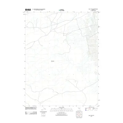 2011 Salt Cave2011 Print · USGSIn the arid landscape of northern Nevada during the early twenty-first century, this survey captures a remote and minimally developed high-desert region. Researchers can trace the path of Simpson Rd as it cuts across the southern reach of the Dead Camel Mountains.
 - 2011 Map of Weber Dam, 2011 Print
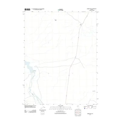 2011 Weber Dam2011 Print · USGSLyon County, Nevada, at the start of the 2010s reveals a desert landscape shaped by essential water management. Historians can trace the Walker River through the Weber Dam and explore terrain features like Painted Mesa and Long Valley.
 - 2011 Map of Wild Horse Basin, 2011 Print
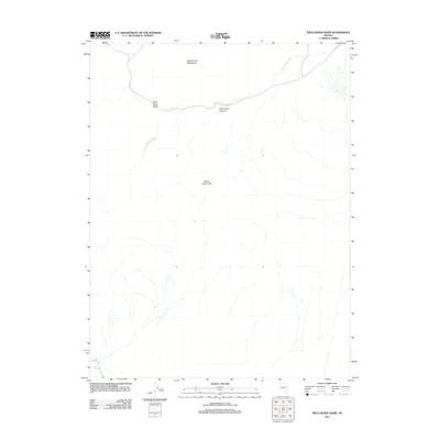 2011 Wild Horse Basin2011 Print · USGSThe high desert of Lyon County comes into focus in the early twenty-first century, showing a landscape of basins and dry washes. Researchers can trace the path of the Walker River and the complex terrain of the Dead Camel Mountains.
 - 2011 Map of Buckbrush Spring, 2011 Print
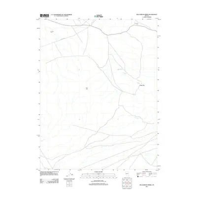 2011 Buckbrush Spring2011 Print · USGSLyon County’s high desert comes into focus in the early 2000s, highlighting a landscape where life centers on remote water sources. Researchers can trace land boundaries and desert landmarks like Buck Brush Spring, Four Mile Fence, and Reese River Rd.
 - 2011 Map of Weber Reservoir, 2011 Print
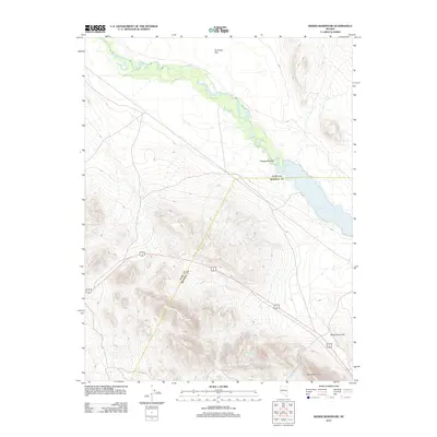 2011 Weber Reservoir2011 Print · USGSThe Lyon County desert landscape and its critical water systems are recorded here just over a decade ago. Genealogists and researchers can trace the course of the Walker River toward the Weber Reservoir or locate landmarks like Reservation Hill.
 - 2011 Map of Russell Spit, 2011 Print
 2011 Russell Spit2011 Print · USGSLyon County at the start of the 2010s reveals an expansive and largely undeveloped desert landscape shaped by dramatic natural landforms. Researchers and hikers can trace the isolation of Desert Peak or locate the unique geographical features of Russell Spit and Painted Mesa.
 - 2011 Map of Hussman Spring, 2011 Print
 2011 Hussman Spring2011 Print · USGSLyon County at the start of the 21st century reveals a landscape defined by its isolated water sources and range management. Trace the pathways between Hussman Spring, Perry Springs, and the uniquely named Black Mountain Dead Man Drift Fence.
 - 2011 Map of Ninemile Ranch, 2011 Print
 2011 Ninemile Ranch2011 Print · USGSLyon County ranching lands and desert waterways are captured here just after the turn of the millennium. Local researchers can trace old range boundaries like the Nine Mile Drift Fence and follow the path of Rough Creek toward Ninemile Ranch.
 - 2011 Map of Parker Butte, 2011 Print
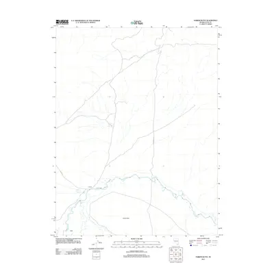 2011 Parker Butte2011 Print · USGSThe Walker River valley in Lyon County is shown here during the early twenty-first century as a landscape defined by its ranching heritage. Researchers can trace land use at JJ Ranch and Parker Ranch or locate the site of Lux near the banks of the Walker River.
 - 2011 Map of Martin Canyon, 2011 Print
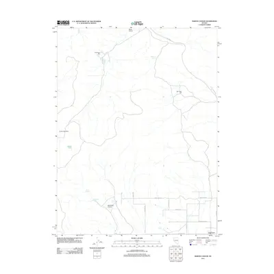 2011 Martin Canyon2011 Print · USGSLyon County, Nevada, shows a distinct transition from industrial mining to rural residential development in this early twenty-first-century survey. Trace the mining operations at Gooseberry Mill or follow the grid of local roads like Pinenut Rd and Springs Rd.
 - 2011 Map of Lincoln Flat, 2011 Print
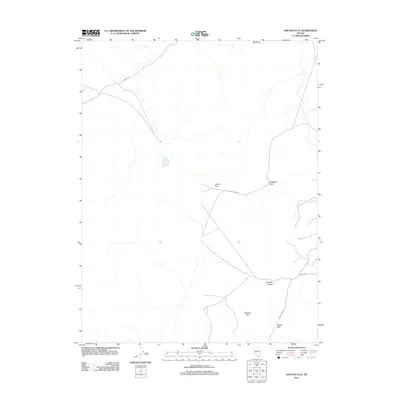 2011 Lincoln Flat2011 Print · USGSLyon County's arid basin and range terrain is captured in detail during the early twenty-first century. Researchers can trace historical transit corridors through Gallagher Pass and Mason Pass or locate landmarks like Blackrock and Wishart Hill.
 - 2011 Map of Como, 2011 Print
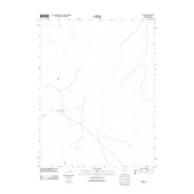 2011 Como2011 Print · USGSLyon County, Nevada, is captured here in the early twenty-first century, showing a landscape defined by high peaks and desert springs. Researchers can locate the historic Como Post Office and Boyle Tunnel, or trace routes to Rawe Peak and Cottonwood Spring.
 - 2011 Map of Hinkson Slough, 2011 Print
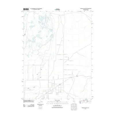 2011 Hinkson Slough2011 Print · USGSMason Valley and the surrounding Lyon County landscape are captured here in the early twenty-first century. Genealogists and local historians can trace legacy holdings like the Mason Valley Ranch, Ritter Ranch, and the Neck Yoke Ranch along the Walker River.
 - 2011 Map of Eagle Rock, 2011 Print
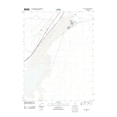 2011 Eagle Rock2011 Print · USGSLyon County, Nevada is captured here during the early twenty-first century, showcasing a desert landscape shaped by mining history and modern transit. Researchers can trace the geography of Eagle Salt Works Spring and landmarks like Eagle Rock and Miry Place Canyon.
 - 2011 Map of Butler Mountain, 2011 Print
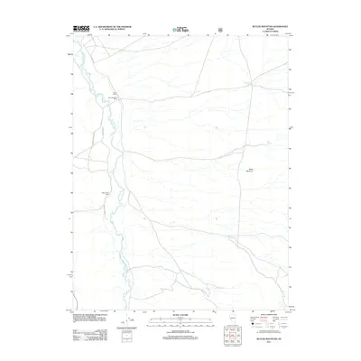 2011 Butler Mountain2011 Print · USGSLyon County ranching life is centered on the East Walker River in the early twenty-first century. Genealogists and local historians can trace the footprints of established properties like Rowe Ranch, Santa Margarita Ranch, and Rafter Seven Ranch.
 - 2011 Map of Misfits Flat, 2011 Print
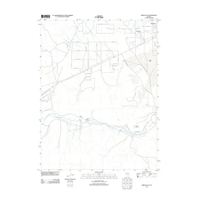 2011 Misfits Flat2011 Print · USGSStagecoach Valley and the Lyon County desert are captured here during a period of transition in the early 2000s. Researchers can trace the layout of residential growth near Stagecoach or follow the Carson River past Chaves Ranch and Clifton.
 - 2011 Map of Lahontan Dam, 2011 Print
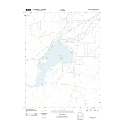 2011 Lahontan Dam2011 Print · USGSLahontan Reservoir and the Carson River valley are captured in this 2011 survey, showing the vital water infrastructure of Lyon County. Researchers can trace the shoreline access points and landmarks like Lahontan Dam, Churchill Beach, and Evans Island.
 - 2011 Map of Mount Como, 2011 Print
 2011 Mount Como2011 Print · USGSLyon County high-desert terrain is documented here in the early twenty-first century, showing a landscape defined by mountain passes and essential water sources. Researchers can trace the ranching history around Artesia and the J W Ranch or locate high-altitude Sunrise Camp.
 - 2011 Map of Wadsworth, 2011 Print
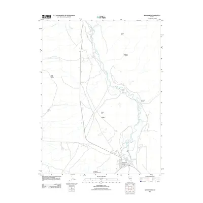 2011 Wadsworth2011 Print · USGSWadsworth and the surrounding river valley are captured here at the start of the twenty-first century, showcasing the intersection of the desert and the life-giving river. Genealogists and local historians can trace family properties like Thomas Ranch and James Ranch or follow the local network around the Wadsworth Post Office.
 - 2011 Map of Flowery Peak, 2011 Print
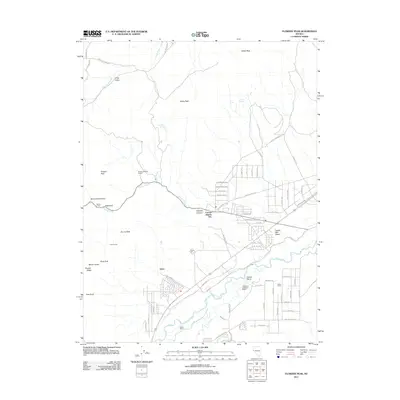 2011 Flowery Peak2011 Print · USGSThe Virginia Range and Carson River valley appear in this recent survey, showing a landscape shaped by Comstock-era mining and ranching. Trace the legacy of the silver boom via the Sutro Tunnel, explore the Flowery Mining District, and locate family holdings like Quilici Ranch.
 - 2011 Map of Two Tips, 2011 Print
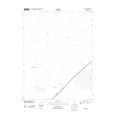 2011 Two Tips2011 Print · USGSThe high desert terrain near Fernley comes into focus in this 2011 survey, showing a landscape shaped by seasonal hydrology and local tradition. You can trace early 21st-century land features like The Narrows, Fernley Sink, and the winding Sheepherders Canyon.
 - 2011 Map of Mitchell Spring, 2011 Print
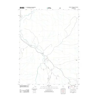 2011 Mitchell Spring2011 Print · USGSLyon County ranching life along the East Walker River is documented here in the early twenty-first century. Researchers can trace land boundaries and water access at Wichman, Flying M Ranch, and Morgans Ranch.
 - 2011 Map of Stockton Flat Well, 2011 Print
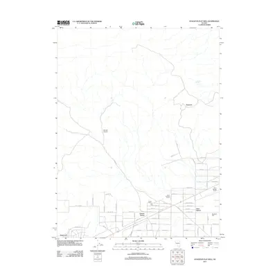 2011 Stockton Flat Well2011 Print · USGSSilver Springs and the high desert of Lyon County are shown in this modern survey during a period of residential and aviation growth. Researchers can trace the layout of Stagecoach and Ramsey Station, or locate landmarks like the Silver Springs Airport and Everett Ranch.
 - 2011 Map of Silver Springs South, 2011 Print
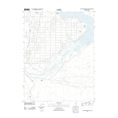 2011 Silver Springs South2011 Print · USGSSilver Springs and the banks of the Carson River are shown here during a period of desert residential expansion in the early twenty-first century. Researchers can trace the development of Silver Springs Beach and locate landmarks like the Big Bend of the Carson and Davis Station.
 - 2011 Map of Hazen, 2011 Print
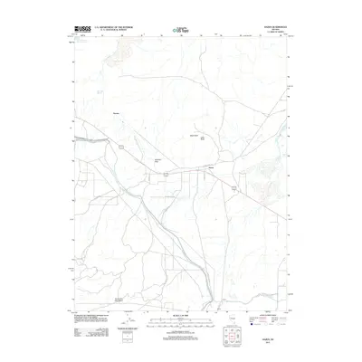 2011 Hazen2011 Print · USGSThe high desert near Fernley is captured here in the early twenty-first century, showing the intersection of arid wilderness and irrigation. Trace the development of Hazen and local landmarks like Patua Hot Springs, Ragtown Pass, and the KX Lateral Canal.
Showing maps 1-25 of 221
Top cities of Lyon County
- Fernley historical maps
- Dayton historical maps
- Silver Springs historical maps
- Yerington historical maps
- Stagecoach historical maps
- Smith Valley historical maps
See more
Frequently asked questions
- What are the different types of historical maps available for Lyon County?
- What is the oldest map of Lyon County?
- Where can I purchase historical maps of Lyon County for my home or office?
- Where can I download high-res historical maps of Lyon County?
- Are there historical topographic maps available for Lyon County?
- Is there historical aerial imagery available for Lyon County?
- Where are historical maps of Lyon County sourced from?