1980s Maps of Washoe County, Nevada
Explore 60 historic maps of Washoe County from the 1980s. These maps offer a rare glimpse into what life looked like during the 1980s — showing old roads, neighborhoods, homes, and landmarks that have changed or disappeared over time.
Whether you're researching your family's past, planning a metal detecting trip, or studying how Washoe County's landscape evolved across the 1980s, these high-resolution maps are a powerful tool for exploring the history of this region.
- Focus on a specific era: All maps on this page are from the 1980s, giving you a focused view of this time period.
- See what’s changed: Compare century-old streets, trails, and buildings to today's modern landscape using overlays and satellite layers.
- Research with precision: Use these maps for genealogy, historical research, land use analysis, or educational projects.
- View, download, or print: Maps are fully viewable online in high resolution, and can be downloaded or printed for your own records.
Start exploring Washoe County's history through authentic maps from the 1980s. This is your window into the past.
Washoe County, NV maps
(60)- 1980 Map of Bedell Flat
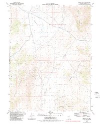 1980 Bedell Flat1980 Print · USGSWashoe County's high-desert basins are captured here during the late 1970s, showing a transition between working land and modern infrastructure. Trace old mining sites like the Mine near Hungry Mountain and scattered Prospects across Dogskin Mountain.2 unique versions available
 - 1980 Map of Melody Mountain
 1980 Melody Mountain1980 Print · USGSWashoe County, Nevada, is shown here as it was in the late 1970s, defined by the towering peaks and hidden basins of the Granite Range. Researchers can trace remote ranching outposts like Negro Creek Ranch and locate reliable desert water sources like Wagon Tire Spring and Iveson Reservoir.
 - 1980 Map of Salt Marsh
 1980 Salt Marsh1980 Print · USGSThe Nevada desert in the early eighties reveals a stark landscape of brine and basin near the California border. Genealogists and researchers can trace the history of desert industry through features like Salt Works Well 3883, Ruins, and Burro Mountain Pass.
 - 1980 Map of Big Hat Mtn
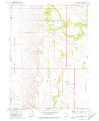 1980 Big Hat Mtn1980 Print · USGSThe high desert of Washoe County and the California border are captured here during the 1970s, showcasing a landscape defined by ranching and volcanic geology. Researchers can trace remote livestock outposts like Long Ranch and topographic landmarks such as The Craters and Big Hat Mountain.2 unique versions available
 - 1980 Map of Fox Mountain
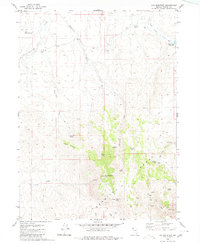 1980 Fox Mountain1980 Print · USGSWashoe County's high desert reveals its ranching and communication infrastructure during the late twentieth century. Researchers can locate remote landmarks like the Grass Valley Ranch, the high-altitude Radio Facility, and family-named water sources like Potato Patch Spring.
 - 1980 Map of Spanish Springs Peak
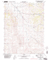 1980 Spanish Springs Peak1980 Print · USGSThe northern Pah Rah Range and Warm Springs Valley come into focus in the late 1970s. Researchers can trace the layout of the Wilcox Ranch and locate remote water sources like Wildcat Spring and Quaking Aspen Spring.2 unique versions available
 - 1980 Map of Leadville
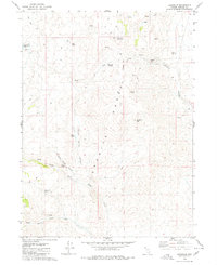 1980 Leadville1980 Print · USGSThe Granite Range and the mining site of Leadville (Site) are captured here in 1980. Genealogists and historians can trace the topography of Hog Ranch Mountain, locate the prospect, and follow the water at Warm Spring and Negro Creek.
 - 1980 Map of Fraser Flat
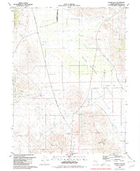 1980 Fraser Flat1980 Print · USGSWashoe County ranching and mining lands are captured here during the late seventies, showing the sparse high-desert landscape. Researchers can trace historic routes like Winnemucca Ranch Road and find sites such as the Ruth Mine and Junction House.3 unique versions available
 - 1980 Map of Buffalo Creek
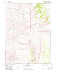 1980 Buffalo Creek1980 Print · USGSWashoe County ranching life is preserved here in the late seventies, centered on the remote Buffalo Meadows Ranch. Trace the essential water network of this arid basin through sites like Tule Spring, Buffalo Well, and the seasonal Buffalo Slough.
 - 1980 Map of Sutcliffe
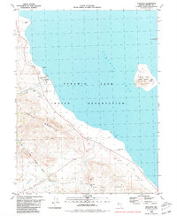 1980 Sutcliffe1980 Print · USGSThe western shores of Pyramid Lake are documented here in the early 1980s, showcasing the remote settlement of Sutcliffe and the surrounding tribal lands. Researchers can trace the Old Railroad Grade or locate landmarks like Anaho Island and Jackass Peak.2 unique versions available
 - 1980 Map of Division Peak
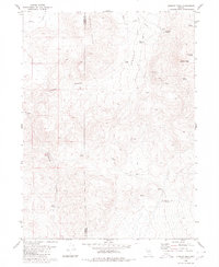 1980 Division Peak1980 Print · USGSThe Nevada high desert along the Washoe and Humboldt county line comes into focus in this late twentieth-century survey. Trace the paths of miners and ranchers through Leadville Canyon or locate remote water sources like Mc Carty Spring and Donnelly Spring.
 - 1980 Map of Mc Connel Canyon
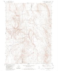 1980 Mc Connel Canyon1980 Print · USGSThe Humboldt County high country was a landscape of remote springs and desert tracks at the start of the 1980s. Researchers can trace early mining attempts at the Prospects or locate historical water sources like Willow Creek Reservoir and Whiskey Spring.
 - 1980 Map of Griffith Canyon
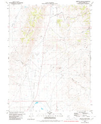 1980 Griffith Canyon1980 Print · USGSWashoe County's high desert landscape appears in great detail in the early eighties, showcasing a region defined by its rugged ranges and scattered mining prospects. Researchers can trace historic access routes like Bacon Rind Road to find local landmarks such as Little Hungry Spring and Sugarloaf Peak.2 unique versions available
 - 1980 Map of Burnt Lake
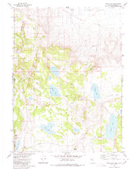 1980 Burnt Lake1980 Print · USGSThe Nevada-California borderlands are shown in the early 1980s as a landscape of remote basins and essential desert springs. Researchers can trace historic water sources like Pilgrim Spring and Rowland Spring or locate the Lackerman Airstrip near the edge of Duck Flat.2 unique versions available
 - 1980 Map of The Banjo
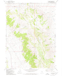 1980 The Banjo1980 Print · USGSWashoe County's high-desert peaks and remote ranching life are captured here in the late twentieth century. Genealogists and desert explorers can trace early land use through sites like The Homestead, Clear Creek Ranch, and the high-altitude Skull Meadow.2 unique versions available
 - 1980 Map of Tule Peak
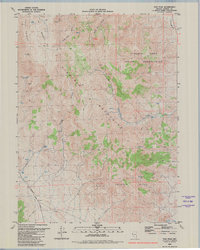 1980 Tule Peak1980 Print · USGSWashoe County in the late seventies is a land of ranching outposts and high-desert terrain within the Pyramid Lake Indian Reservation. You can trace early transit routes like the Old Railroad Grade or locate remote sites like Needle Rock and the Corral.2 unique versions available
 - 1980 Map of Red Rock Canyon
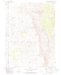 1980 Red Rock Canyon1980 Print · USGSThe high desert border between Nevada and California comes into focus in the early eighties. Researchers can trace water rights and grazing history through landmarks like Sheep Camp Draw Reservoir, Mustang Spring, and Willow Reservoir.
 - 1980 Map of Pegleg Canyon
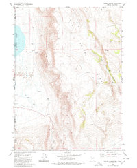 1980 Pegleg Canyon1980 Print · USGSThe California-Nevada borderlands are captured in the early eighties as a landscape of remote ranching and rugged desert hydrology. Trace early water rights and land use at the Murphy Ranch, Pegleg Reservoir, and a geothermal Spring (Hot).
 - 1980 Map of Hualapai Flat North
 1980 Hualapai Flat North1980 Print · USGSHigh desert ranching and aviation infrastructure define this Nevada landscape during the late 1970s. Trace remote sites like Iverson Ranch, find several prospects, and locate the Landing Field and Landing Strip used to navigate the Hualapai Flat.
 - 1980 Map of Bordwell Spring
 1980 Bordwell Spring1980 Print · USGSNorthern Washoe County in the late seventies is shown as a remote ranching landscape defined by its vital water sources. Trace historic land use through Bordwell Spring, the Twin Spring Reservoir, and a lonely Corral near Clover Creek.2 unique versions available
 - 1980 Map of Lost Creek Pass
 1980 Lost Creek Pass1980 Print · USGSWashoe County's high-desert landscape in the early 1980s was a place where water dictated the routes of travel and ranching. Researchers can trace the importance of desert water sources at Lost Creek Troughs, Devils Gate, and the expansive Duck Flat.
 - 1980 Map of Parker Canyon
 1980 Parker Canyon1980 Print · USGSThe high-desert borderlands of Washoe County are captured here in the late 1970s, showing a landscape defined by seasonal water and remote trails. Researchers can trace the location of the Skedadle Dam (Site), local caves, and ruins near Parker Canyon.
 - 1980 Map of Mixie Flat
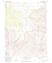 1980 Mixie Flat1980 Print · USGSThe high-desert terrain of the Nevada-California border comes into focus in this 1980s-era study of the Washoe County backcountry. Researchers can trace the water sources and livestock trails that sustained this region, including Mixie Flat, the Horse Corral, and Twin Peaks.2 unique versions available
 - 1980 Map of Patrick
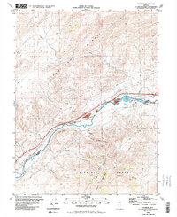 1980 Patrick1980 Print · USGSThe Truckee River canyon serves as a vital industrial artery in the early 1980s, where the high desert meets heavy utility. Researchers can trace the rail-and-river network through Patrick, locating the Tracy Powerplant, the 102 Ranch, and Old Lonesome.
 - 1980 Map of Sand Pass
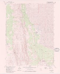 1980 Sand Pass1980 Print · USGSWashoe County's high desert landscape comes into focus in the late 1970s, where the railroad meets isolated springs and ranch lands. Genealogists and historians can trace the Western Pacific line to Sand Pass or locate the solitary Grave and Bonham Ranch.2 unique versions available
Showing maps 1-25 of 60
Top cities of Washoe County
- Reno historical maps
- Sparks historical maps
- Cold Springs historical maps
- Lemmon Valley historical maps
- New Washoe City historical maps
- Golden Valley historical maps
See more
Frequently asked questions
- What are the different types of historical maps available for Washoe County?
- What is the oldest map of Washoe County?
- Where can I purchase historical maps of Washoe County for my home or office?
- Where can I download high-res historical maps of Washoe County?
- Are there historical topographic maps available for Washoe County?
- Is there historical aerial imagery available for Washoe County?
- Where are historical maps of Washoe County sourced from?