2000s (21st Century) Maps of Washoe County, Nevada
Explore 573 historic maps of Washoe County from the 2000s (21st Century). These maps offer a rare glimpse into what life looked like during the 2000s — showing old roads, neighborhoods, homes, and landmarks that have changed or disappeared over time.
Whether you're researching your family's past, planning a metal detecting trip, or studying how Washoe County's landscape evolved across the 2000s, these high-resolution maps are a powerful tool for exploring the history of this region.
- Focus on a specific era: All maps on this page are from the 2000s, giving you a focused view of this time period.
- See what’s changed: Compare century-old streets, trails, and buildings to today's modern landscape using overlays and satellite layers.
- Research with precision: Use these maps for genealogy, historical research, land use analysis, or educational projects.
- View, download, or print: Maps are fully viewable online in high resolution, and can be downloaded or printed for your own records.
Start exploring Washoe County's history through authentic maps from the 2000s. This is your window into the past.
Washoe County, NV maps
(573)- 2000 Map of Boca, 2003 Print
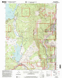 2000 Boca2003 Print · USGSThe California-Nevada borderlands appear here as a vital water and transit corridor at the close of the twentieth century. Genealogists and researchers can trace the riverside settlements of Floriston, Hinton, and the Boca Townsite along the Truckee River.
 - 2000 Map of Evans Canyon, 2003 Print
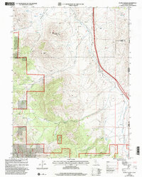 2000 Evans Canyon2003 Print · USGSThe high Sierra country along the Nevada border comes into focus in this late-twentieth-century study of the Toiyabe National Forest. Researchers can trace old family ranching sites like Balls Ranch or locate geographic landmarks such as Haskell Peak and Burma Summit.
 - 2000 Map of Dog Valley, 2003 Print
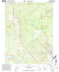 2000 Dog Valley2003 Print · USGSThe high Sierra ridges along the California-Nevada border are captured here at the turn of the millennium. Researchers can trace historic travel routes like Henness Pass Road and Emigrant Road past landmarks like Camp 21 (Site) and Babbitt Peak.
 - 2011 Map of Pyramid SW, 2011 Print
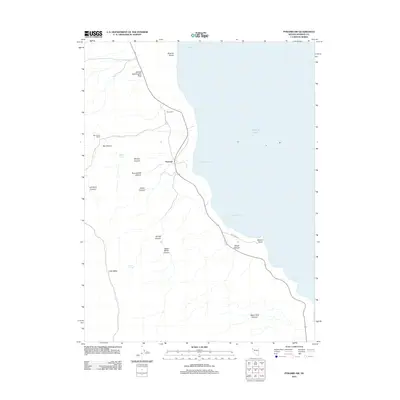 2011 Pyramid SW2011 Print · USGSWashoe County's desert shoreline along Pyramid Lake is captured here during the early twenty-first century. Researchers can locate remote ranching landmarks like Big Canyon Ranch and follow the rugged terrain through Sharps Canyon and Poison Canyon.
 - 2011 Map of Empire, 2011 Print
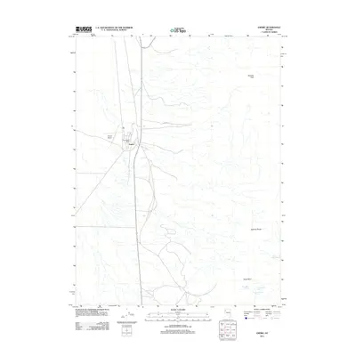 2011 Empire2011 Print · USGSEmpire and the surrounding Washoe County desert are captured here in the early twenty-first century, showcasing a remote Nevada company town. Trace local landmarks like the Empire Post Office, Empire Airport, and vital water sources like Double Spout Spring.
 - 2011 Map of Big Sawmill Canyon, 2011 Print
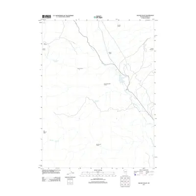 2011 Big Sawmill Canyon2011 Print · USGSWashoe County's high-desert terrain is documented here in the early twenty-first century, centered on the vital water systems of Squaw Valley. Local history researchers can trace the footprint of Fisk Ranch and locate numerous upland water sources like Big Sawmill Spring and Table Spring.
 - 2011 Map of Pyramid SE, 2011 Print
 2011 Pyramid SE2011 Print · USGSWashoe County's desert shoreline is captured in detail during the early 21st century, focusing on the deep waters of the Great Basin. Researchers can trace the eastern edge of Pyramid Lake and locate landmarks like Howitzer Slide and Blizzard Camp Point.
 - 2011 Map of Hillside Spring, 2011 Print
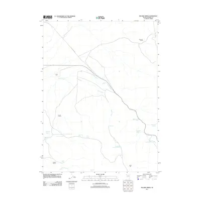 2011 Hillside Spring2011 Print · USGSWashoe County's high desert water management is captured in detail during the early 2010s. Local researchers can trace the distribution of numbered livestock tanks and remote outposts like Hoover Ranch, Dead Heifer Spring, and Jones Flat.
 - 2011 Map of West of Empire, 2011 Print
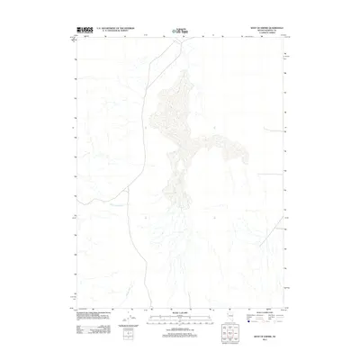 2011 West of Empire2011 Print · USGSWashoe County's high desert landscape is captured here in the early twenty-first century, documenting the remote terrain west of Empire. Researchers can trace the essential desert drainage patterns of Cottonwood Creek and Willow Creek through this arid region.
 - 2011 Map of Astor Pass, 2011 Print
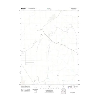 2011 Astor Pass2011 Print · USGSWashoe County's desert basins and remote outposts are captured here just over a decade ago. Researchers can trace the layout of Junction City, locate isolated water sources like Upper Adobe Spring, and follow tracks through the Never Sweat Hills.
 - 2011 Map of Gerlach, 2011 Print
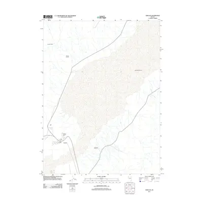 2011 Gerlach2011 Print · USGSGerlach serves as the remote gateway to the northwestern Nevada desert in the early twenty-first century. Genealogists and local historians can trace the town's footprint, including the Gerlach Post Office, Great Boiling Spring, and the Gerlach and Waltz Ranch.
 - 2011 Map of Sheepshead Spring, 2011 Print
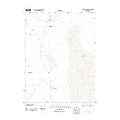 2011 Sheepshead Spring2011 Print · USGSWashoe County's high-desert terrain near the turn of the decade highlights the transition from the Smoke Creek Desert to the western hills. Trace the essential water network through Sheepshead Spring, Mocho Spring, and the canyon floor at Buckboard Field.
 - 2011 Map of Hog Spring, 2011 Print
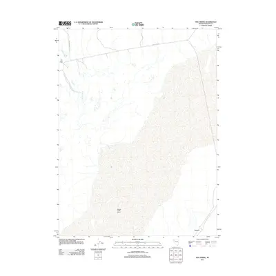 2011 Hog Spring2011 Print · USGSWashoe County ranching and rail history are preserved in this early 21st-century survey of the arid high desert. Researchers can locate remote outposts like the Old Heller Ranch and the station at Reynard near the edge of the Smoke Creek Desert.
 - 2011 Map of San Emidio Desert North, 2011 Print
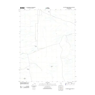 2011 San Emidio Desert North2011 Print · USGSWashoe County's arid northern reaches are mapped here during the early twenty-first century, highlighting the remote ranching and aviation geography of the High Desert. Trace the tracks to the Empire Farms Landing Strip or locate water at Jackass Spring and Coyote Creek.
 - 2011 Map of Melody Mountain, 2011 Print
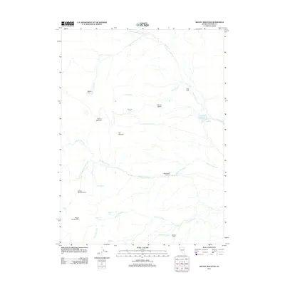 2011 Melody Mountain2011 Print · USGSWashoe County's high-desert landscape appears in the early twenty-first century as a realm of remote ranching and rugged topography. Researchers can trace vital water sources and landmarks like Negro Creek Ranch, Wagon Tire Spring, and the prominent Melody Rim.
 - 2011 Map of Pyramid NE, 2011 Print
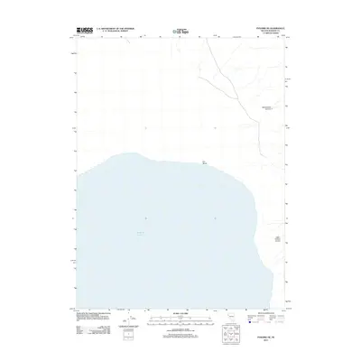 2011 Pyramid NE2011 Print · USGSPyramid Lake's northeastern shore is documented here during the early twenty-first century, showing where the high desert terrain meets the water. Researchers can trace the drainage of Sweetwater Canyon and locate coastal features like Fox Beach and Fox Bay.
 - 2011 Map of Poodle Mountain, 2011 Print
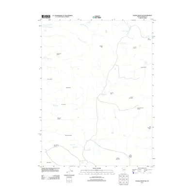 2011 Poodle Mountain2011 Print · USGSHigh desert canyons and critical water sources define this corner of Washoe County in the early twenty-first century. Researchers can locate remote landmarks like Boulder Dam Reservoir, trace the drainage of Wrangle Pasture Spring, and identify old sites at Pauls Camp Canyon.
 - 2011 Map of Kumiva Peak, 2011 Print
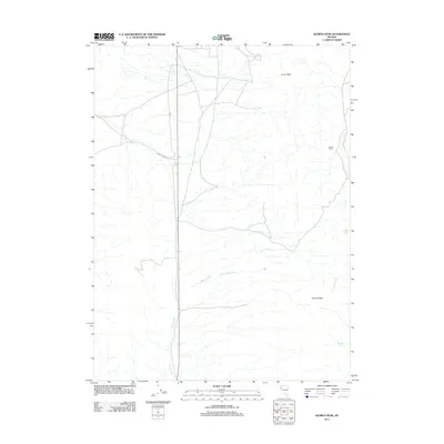 2011 Kumiva Peak2011 Print · USGSWashoe County's high desert landscape is documented here in the early twenty-first century, showing the isolation of the Great Basin. Local historians can trace the remote Cowles Ranch and follow the route of Empire Ranch Rd past Mountain Spring.
 - 2011 Map of Fox Canyon, 2011 Print
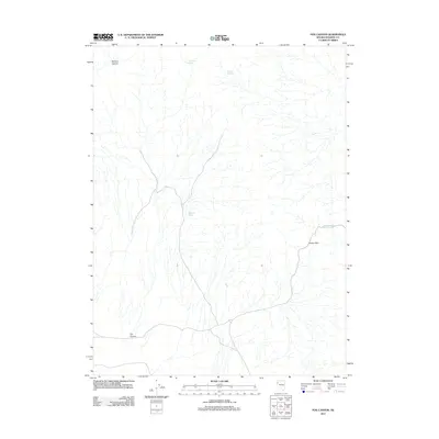 2011 Fox Canyon2011 Print · USGSWashoe County's high desert reveals its network of vital water sources and topographic crossings in the early twenty-first century. Researchers can trace the geography of movement through the region by locating Sheep Pass and several named water points like Fox Canyon Spring and Buckbrush Spring.
 - 2011 Map of Tohakum Peak NW, 2011 Print
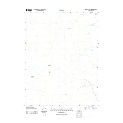 2011 Tohakum Peak NW2011 Print · USGSWashoe County's high desert peaks and hidden water sources are captured here during the early twenty-first century. Researchers can trace the pathways through Fremont Pass and locate remote landmarks like Moses Rock Spring and Nugent Hole.
 - 2011 Map of Sand Pass, 2011 Print
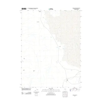 2011 Sand Pass2011 Print · USGSWashoe County's high desert landscape is detailed here in the early twenty-first century, showing a remote network of springs and ranching infrastructure. Trace the locations of historic water sources like Rotten Egg Spring and Fish Spring or the site of Bonham Ranch.
 - 2011 Map of Tohakum Peak NE, 2011 Print
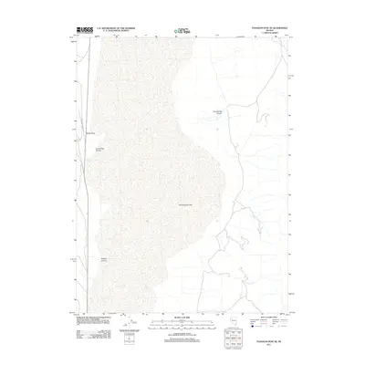 2011 Tohakum Peak NE2011 Print · USGSWashoe County's arid basin landscape is captured here in the early twenty-first century, centered on the expansive bed of Winnemucca Lake. Researchers can trace the path of Schell Creek Ranch Rd past Needle Rock and the remote waters of Goose Spring.
 - 2011 Map of Dove Creek, 2011 Print
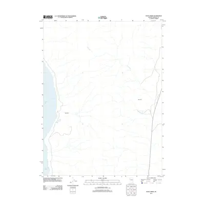 2011 Dove Creek2011 Print · USGSWashoe County's high-desert landscape meets the eastern shore of Pyramid Lake in this early 21st-century study. Researchers can trace the drainage of Dove Creek or locate the site of Sevenmile Spring near the slopes of Allen Hill.
 - 2011 Map of San Emidio Desert South, 2011 Print
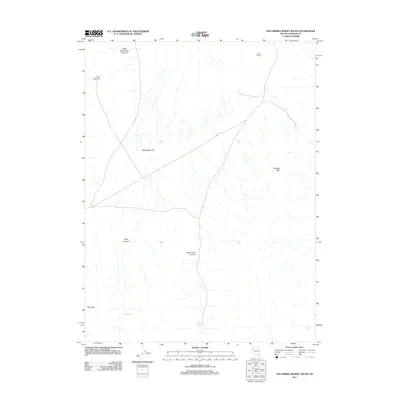 2011 San Emidio Desert South2011 Print · USGSWashoe County's high desert landscape is documented here in the early twenty-first century, showing a remote region defined by its vital water sources. Trace the geography of San Emidio Spring, Wildcat Peak, and the broad White Sage Flat.
 - 2011 Map of Hualapai Flat North, 2011 Print
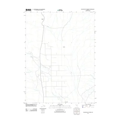 2011 Hualapai Flat North2011 Print · USGSWashoe County's high desert basin is captured here in the early twenty-first century, showing a landscape defined by remote ranching and seasonal drainages. Researchers can locate specific homesteads like Iveson Ranch and Crossley 99 Ranch or trace the path of Leadville Canyon.
Showing maps 1-25 of 573
Top cities of Washoe County
- Reno historical maps
- Sparks historical maps
- Cold Springs historical maps
- Lemmon Valley historical maps
- New Washoe City historical maps
- Golden Valley historical maps
See more
Frequently asked questions
- What are the different types of historical maps available for Washoe County?
- What is the oldest map of Washoe County?
- Where can I purchase historical maps of Washoe County for my home or office?
- Where can I download high-res historical maps of Washoe County?
- Are there historical topographic maps available for Washoe County?
- Is there historical aerial imagery available for Washoe County?
- Where are historical maps of Washoe County sourced from?