1980s Maps of Chaves County, New Mexico
Explore 21 historic maps of Chaves County from the 1980s. These maps offer a rare glimpse into what life looked like during the 1980s — showing old roads, neighborhoods, homes, and landmarks that have changed or disappeared over time.
Whether you're researching your family's past, planning a metal detecting trip, or studying how Chaves County's landscape evolved across the 1980s, these high-resolution maps are a powerful tool for exploring the history of this region.
- Focus on a specific era: All maps on this page are from the 1980s, giving you a focused view of this time period.
- See what’s changed: Compare century-old streets, trails, and buildings to today's modern landscape using overlays and satellite layers.
- Research with precision: Use these maps for genealogy, historical research, land use analysis, or educational projects.
- View, download, or print: Maps are fully viewable online in high resolution, and can be downloaded or printed for your own records.
Start exploring Chaves County's history through authentic maps from the 1980s. This is your window into the past.
Chaves County, NM maps
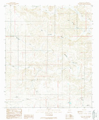
(21)- 1984 Map of Ruidoso
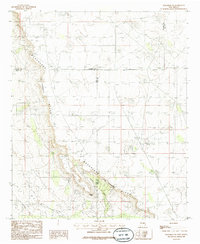
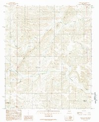
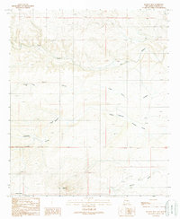
 1984 Ruidoso1984 Print · USGSThe high country of the Sierra Blanca and the Lincoln National Forest are captured here in the mid-eighties as tourism and traditional land use converged. Local historians can trace the Old Military Reservation Boundary, find historic workings like the Parsons Mine, or locate small communities such as Glencoe and Whitetail.
 - 1985 Map of Henshaw Tank
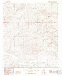
 1985 Henshaw Tank1985 Print · USGSThe high desert border of Chaves and Eddy counties is captured here in the late seventies, showing a landscape shaped by water engineering and industry. Researchers can trace the path of the Underground Aqueduct and locate landmarks like Henshaw Tank and several Gravel Pits.
 - 1985 Map of Maljamar NE
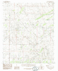
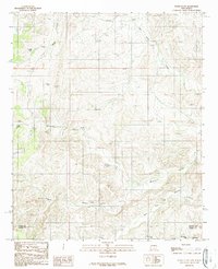
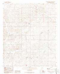
 1985 Maljamar NE1985 Print · USGSThe high New Mexico plains at the edge of the Llano Estacado come into focus in the mid-1980s. Researchers can trace industrial developments across the Oil Field or locate landmarks like Taylor Peak and the prominent Mescalero (The Caprock) Ridge.
 - 1988 Map of Lucky Lake, 1989 Print
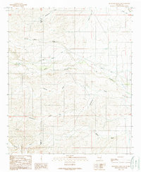
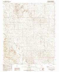 1988 Lucky Lake1989 Print · USGSChaves County ranching life is frozen in time during the late eighties, showing the vital network of wells and windmills that sustained the high desert. Genealogists and historians can trace named landmarks like Well Camp, Horse Pasture Windmill, and the remote Landing Strip.
 - 1988 Map of Skunk Canyon, 1989 Print
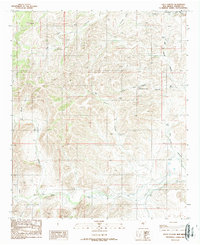
 1988 Skunk Canyon1989 Print · USGSThe high desert of Lincoln and Chaves Counties is captured in the late 1980s, showing a landscape shaped by remote ranching infrastructure. Genealogists and historians can trace family-named water sources like Martin-Harold Well, Lubbock Well, and the seasonal Buck Camp.
 - 1988 Map of Dark Canyon, 1989 Print
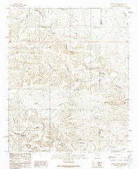
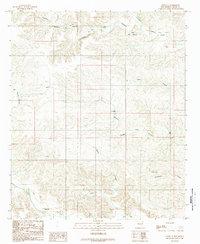
 1988 Dark Canyon1989 Print · USGSChaves County's high desert landscape comes into focus in the late 1980s, showcasing an era of remote ranching and water management. Researchers can locate vital watering points like Dagger Lake, Challenge Windmill, and South Turknett Well across the rugged canyons.
 - 1988 Map of Blackwater Hill, 1989 Print
 1988 Blackwater Hill1989 Print · USGSChaves County ranchlands are documented here in the late 1980s, showcasing the essential water infrastructure of eastern New Mexico. Genealogists and historians can locate family ranching landmarks like Christine Windmill, Border Well, and Mennecke Lake.
 - 1988 Map of Horseshoe Bend NW, 1989 Print
 1988 Horseshoe Bend NW1989 Print · USGSLincoln County ranching life is documented in this late-1980s survey as it straddles the Chaves County border. Genealogists and local historians can locate remote family-named outposts and water sources including Pruett Well, Morris Well, and the prominent Border Hill.
 - 1989 Map of Sixteenmile Draw West
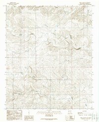
 1989 Sixteenmile Draw West1989 Print · USGSThe arid uplands of Chaves County appear here in the late eighties, showing a landscape defined by seasonal water. Researchers can trace the winding path of Rio Peñasco and locate landmarks like Singer Lake and Little Cuevo Canyon.
 - 1989 Map of Flying H NE
 1989 Flying H NE1989 Print · USGSThe high-desert ranching country of the Lincoln and Chaves county line is documented here in the late twentieth century. Researchers can locate remote aviation and water infrastructure, from the Landing Strip to named sites like High Lonesome Well and Twin Butte Well.
 - 1989 Map of Flying H NW
 1989 Flying H NW1989 Print · USGSThe high-desert ranching country of the Lincoln and Chaves county line comes into focus in the late 1980s. Local researchers can trace the vital network of water sources like Sulphur Well, Cedar Hill Well, and the winding Crooked Creek.
 - 1989 Map of Loco Canyon
 1989 Loco Canyon1989 Print · USGSChaves County ranching country is mapped here during the late twentieth century, showing the vital water network of the high desert. Researchers can trace land use through features like Old Loco Well, the winding Rio Felix, and a remote Landing Strip.
 - 1989 Map of Indian Bluff
 1989 Indian Bluff1989 Print · USGSChaves County ranching life in the late eighties centered on the vital water sources and canyons of the high plains. Researchers can trace land use at Kincaid Ranch or locate historical points like Twin Butte Camp and Rattlesnake Well.
 - 1989 Map of Dunken
 1989 Dunken1989 Print · USGSIn the Chaves County high desert during the late eighties, life centered around the vital water sources of the Peñasco River valley. Genealogists and historians can trace local landmarks like Dunken, the Cem near Bluewater Creek, and the Dunken Windmill.
 - 1989 Map of Thimble Canyon
 1989 Thimble Canyon1989 Print · USGSChaves County ranchlands are detailed in the late eighties as this survey reveals the vital water network of the high desert. Researchers can trace the drainage of Rio Peñasco and locate specific improvements like Watts Tank, Eagle Well, and Lake Windmill.
 - 1989 Map of Singer Lake
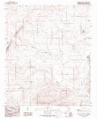
 1989 Singer Lake1989 Print · USGSChaves County ranching and water infrastructure are captured here in the late twentieth century. Genealogists and historians can locate specific family-named landmarks and water sources like Juniper Windmill, Rio Felix, and Singer Lake.
 - 1989 Map of Sagebrush Valley West
 1989 Sagebrush Valley West1989 Print · USGSChaves County ranching lands and desert drainages are documented here in the late eighties. Researchers can trace water management sites like Cottonwood Windmill and Teclote Windmill or locate a remote Landing Strip along the Rio Felix.
 - 1989 Map of Sagebrush Valley East
 1989 Sagebrush Valley East1989 Print · USGSSoutheastern New Mexico ranching lands are mapped here in the late eighties at the intersection of Chaves and Eddy Counties. Local history researchers can trace old water sources and canyon trails like CCC Tank, Goaty Canyon, and Eagle Creek.
 - 1989 Map of Sixteenmile Draw East
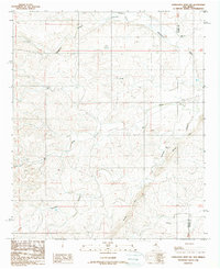
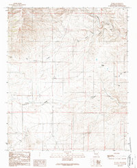
 1989 Sixteenmile Draw East1989 Print · USGSEddy and Chaves counties are documented in the late eighties as a landscape of irrigation and cattle ranching. Researchers can trace the water infrastructure of the Hope Community Canal and locate historic markers like the Cem and Sixteen Tank.
 - 1989 Map of Meadow Hill
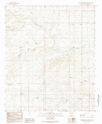
 1989 Meadow Hill1989 Print · USGSChaves County ranching and desert landscapes are captured in the late eighties as this New Mexico terrain was being formally surveyed. Researchers can trace vital water sources and remote landmarks like Partnership Well, Meadow Hill, and the winding Rio Peñasco.
 - 1989 Map of Flying H
 1989 Flying H1989 Print · USGSChaves County ranching lands and desert canyons are captured here in the late eighties, centered on the settlement of Flying H. Local historians and researchers can trace vital water infrastructure and landmarks like Scotty Windmill, Red House, and the Rio Felix.
End of results
Showing maps 1-21 of 21
Top cities of Chaves County
Frequently asked questions
- What are the different types of historical maps available for Chaves County?
- What is the oldest map of Chaves County?
- Where can I purchase historical maps of Chaves County for my home or office?
- Where can I download high-res historical maps of Chaves County?
- Are there historical topographic maps available for Chaves County?
- Is there historical aerial imagery available for Chaves County?
- Where are historical maps of Chaves County sourced from?