2020s Maps of Chaves County, New Mexico
Explore 252 historic maps of Chaves County from the 2020s. These maps offer a rare glimpse into what life looked like during the 2020s — showing old roads, neighborhoods, homes, and landmarks that have changed or disappeared over time.
Whether you're researching your family's past, planning a metal detecting trip, or studying how Chaves County's landscape evolved across the 2020s, these high-resolution maps are a powerful tool for exploring the history of this region.
- Focus on a specific era: All maps on this page are from the 2020s, giving you a focused view of this time period.
- See what’s changed: Compare century-old streets, trails, and buildings to today's modern landscape using overlays and satellite layers.
- Research with precision: Use these maps for genealogy, historical research, land use analysis, or educational projects.
- View, download, or print: Maps are fully viewable online in high resolution, and can be downloaded or printed for your own records.
Start exploring Chaves County's history through authentic maps from the 2020s. This is your window into the past.
Chaves County, NM maps
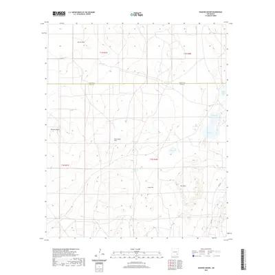
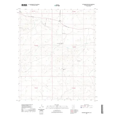
(252)- 2020 Map of Henshaw Tank, 2020 Print
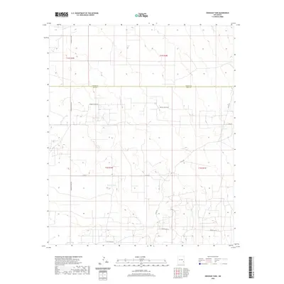 2020 Henshaw Tank2020 Print · USGSCovers Chaves County, including Eddy County, United States, and other nearby areas
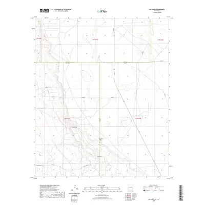
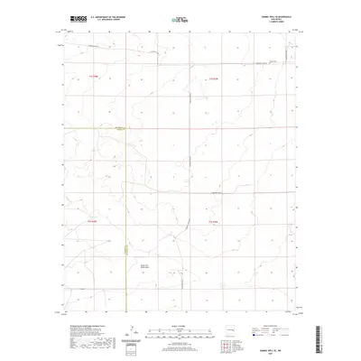
 - 2020 Map of Basin Well, 2020 Print
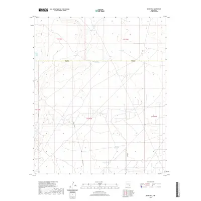 2020 Basin Well2020 Print · USGSCovers Chaves County, including Eddy County, United States, and other nearby areas
 - 2020 Map of Artesia NE, 2020 Print
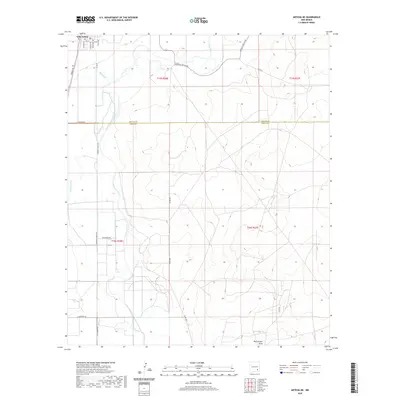 2020 Artesia NE2020 Print · USGSCovers Chaves County, including Lake Arthur, Eddy County, and other nearby areas
 - 2020 Map of Hope NE, 2020 Print
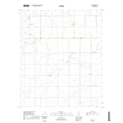 2020 Hope NE2020 Print · USGSCovers Chaves County, including Eddy County, United States, and other nearby areas
 - 2020 Map of Sixteenmile Draw East, 2020 Print
 2020 Sixteenmile Draw East2020 Print · USGSCovers Chaves County, including Eddy County, United States, and other nearby areas
 - 2020 Map of Hope NW, 2020 Print
 2020 Hope NW2020 Print · USGSCovers Chaves County, including Eddy County, United States, and other nearby areas
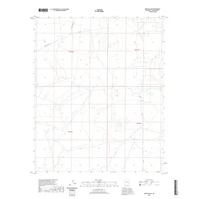
 - 2020 Map of Rippee Ranch, 2020 Print
 2020 Rippee Ranch2020 Print · USGSCovers Chaves County, including Roosevelt County, De Baca County, and other nearby areas
 - 2020 Map of Sagebrush Valley East, 2020 Print
 2020 Sagebrush Valley East2020 Print · USGSCovers Chaves County, including Ed, Edd n Eddy's Backyard, Eddy County, and other nearby areas
 - 2020 Map of Diamond Mound, 2020 Print
 2020 Diamond Mound2020 Print · USGSCovers Chaves County, including Eddy County, United States, and other nearby areas
 - 2020 Map of Maljamar NE, 2020 Print
 2020 Maljamar NE2020 Print · USGSCovers Chaves County, including Lea County, Eddy County, and other nearby areas
 - 2020 Map of South Taylor Tank, 2020 Print
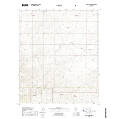 2020 South Taylor Tank2020 Print · USGSCovers Chaves County, including Otero County, United States, and other nearby areas
 - 2020 Map of Gammil Well SE, 2020 Print
 2020 Gammil Well SE2020 Print · USGSCovers Chaves County, including Roosevelt County, United States, and other nearby areas
 - 2020 Map of Espuela, 2020 Print
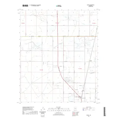 2020 Espuela2020 Print · USGSCovers Chaves County, including Artesia, Espuela, and other nearby areas
 - 2020 Map of Sixteenmile Draw West, 2020 Print
 2020 Sixteenmile Draw West2020 Print · USGSCovers Chaves County, including United States, New Mexico, and other nearby areas
 - 2020 Map of Mescalero Point NE, 2020 Print
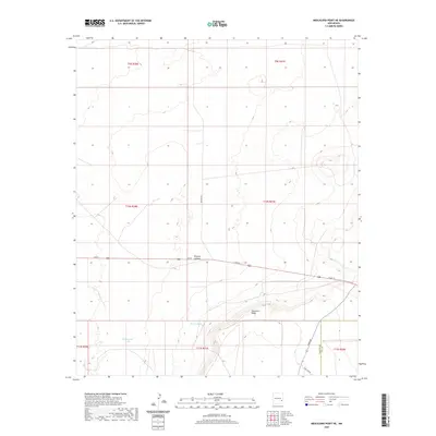 2020 Mescalero Point NE2020 Print · USGSCovers Chaves County, including Lea County, United States, and other nearby areas
 - 2020 Map of San Juan Mesa East, 2020 Print
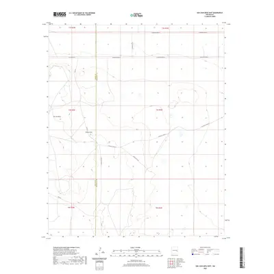 2020 San Juan Mesa East2020 Print · USGSCovers Chaves County, including Roosevelt County, United States, and other nearby areas
 - 2020 Map of Caprock, 2020 Print
 2020 Caprock2020 Print · USGSCovers Chaves County, including Caprock, Lea County, and other nearby areas
 - 2020 Map of Vest Camp, 2020 Print
 2020 Vest Camp2020 Print · USGSCovers Chaves County, including United States, New Mexico, and other nearby areas
 - 2020 Map of Button Mesa South, 2020 Print
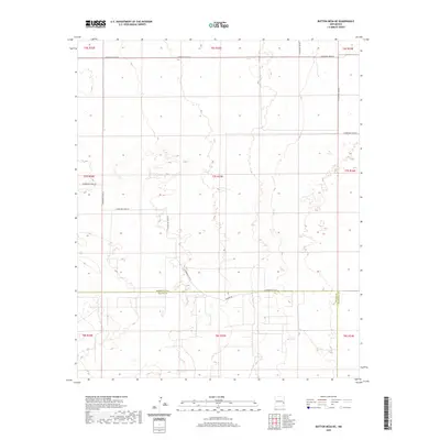
 2020 Button Mesa South2020 Print · USGSCovers Chaves County, including Lea County, United States, and other nearby areas
 - 2020 Map of Curlew Lake, 2020 Print
 2020 Curlew Lake2020 Print · USGSCovers Chaves County, including Beatty Wells, Boaz, and other nearby areas
 - 2020 Map of Presler Lake, 2020 Print
 2020 Presler Lake2020 Print · USGSCovers Chaves County, including United States, New Mexico, and other nearby areas
 - 2020 Map of Cedar Point, 2020 Print
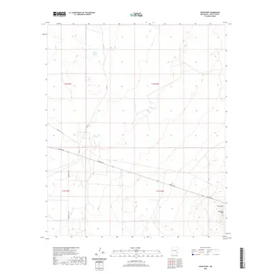 2020 Cedar Point2020 Print · USGSCovers Chaves County, including United States, New Mexico, and other nearby areas
 - 2020 Map of Howell Ranch, 2020 Print
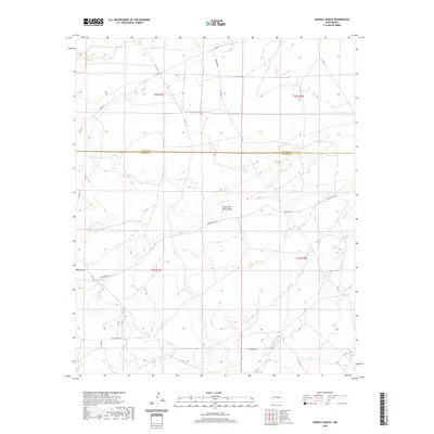 2020 Howell Ranch2020 Print · USGSCovers Chaves County, including De Baca County, United States, and other nearby areas
 - 2020 Map of Button Mesa NE, 2020 Print
 2020 Button Mesa NE2020 Print · USGSCovers Chaves County, including Roosevelt County, United States, and other nearby areas
 - 2020 Map of Button Mesa North, 2020 Print
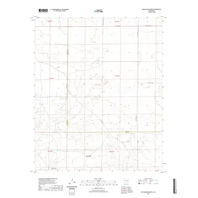 2020 Button Mesa North2020 Print · USGSCovers Chaves County, including Vest Wells, Corner Well, and other nearby areas
Showing maps 1-25 of 252
Top cities of Chaves County
Frequently asked questions
- What are the different types of historical maps available for Chaves County?
- What is the oldest map of Chaves County?
- Where can I purchase historical maps of Chaves County for my home or office?
- Where can I download high-res historical maps of Chaves County?
- Are there historical topographic maps available for Chaves County?
- Is there historical aerial imagery available for Chaves County?
- Where are historical maps of Chaves County sourced from?