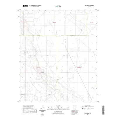
2020 Map of Maljamar NE
USGS Topo · Published 2020About this map
Mescalero Ridge dominates the central landscape of this Southeast New Mexico survey, creating a dramatic topographical break across the High Plains. This escarpment marks the edge of the Llano Estacado, where the terrain drops away into the drainage of Taylor Draw. The map documents a sparsely populated but highly organized landscape where the boundaries of Chaves, Eddy, and Lea counties converge. A network of industrial and rural roads, including Tower Rd, Alice Rd, and Radio Rd, suggests the area's significance for regional energy or telecommunications infrastructure. The rectilinear Public Land Survey System grid is clearly defined, with township lines for t15s r31e and t16s r32e providing an essential framework for researchers tracing property lines or land usage in this arid corner of the state.
Find a feature on this map
21 named features on this map. Tap any name to fly to it.
Don’t see what you’re looking for? This feature index may not catch every label — zoom into the map to look around manually.
Map Details
Editions of this 2020 Maljamar NE Map
This is the sole edition of this map. No revisions or reprints were ever made.
Other maps of this area

1954 · Hobbs
USGS Topo · 1:250,000

1954 · Brownfield
USGS Topo · 1:250,000

1958 · Brownfield
USGS Topo · 1:250,000

1958 · Hobbs
USGS Topo · 1:250,000

1962 · Brownfield
USGS Topo · 1:250,000

1962 · Buckeye
USGS Topo · 1:62,500

1963 · Maljamar
USGS Topo · 1:62,500
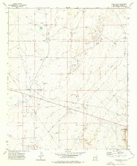
1973 · Cedar Point
USGS Topo · 1:24,000

1973 · Dean Ranch
USGS Topo · 1:24,000
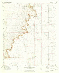
1973 · Cedar Point SE
USGS Topo · 1:24,000