2000s (21st Century) Maps of Chaves County, New Mexico
Explore 636 historic maps of Chaves County from the 2000s (21st Century). These maps offer a rare glimpse into what life looked like during the 2000s — showing old roads, neighborhoods, homes, and landmarks that have changed or disappeared over time.
Whether you're researching your family's past, planning a metal detecting trip, or studying how Chaves County's landscape evolved across the 2000s, these high-resolution maps are a powerful tool for exploring the history of this region.
- Focus on a specific era: All maps on this page are from the 2000s, giving you a focused view of this time period.
- See what’s changed: Compare century-old streets, trails, and buildings to today's modern landscape using overlays and satellite layers.
- Research with precision: Use these maps for genealogy, historical research, land use analysis, or educational projects.
- View, download, or print: Maps are fully viewable online in high resolution, and can be downloaded or printed for your own records.
Start exploring Chaves County's history through authentic maps from the 2000s. This is your window into the past.
Chaves County, NM maps
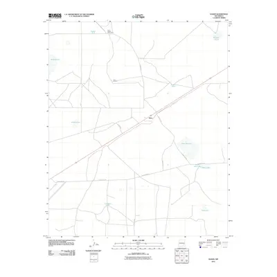
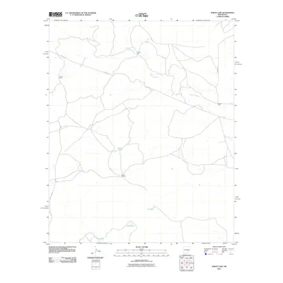
(636)- 2001 Map of Pinon Ranch, 2003 Print
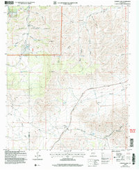
 2001 Pinon Ranch2003 Print · USGSThe ranching country of Chaves County comes into focus at the start of the millennium, showing a landscape defined by water management and isolated homesteads. Researchers can trace the layout of family lands such as Piñon Ranch or Bullis Spring Ranch and locate remote landmarks like Piñon Well.
 - 2001 Map of Bullis Spring Ranch, 2003 Print
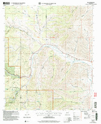
 2001 Bullis Spring Ranch2003 Print · USGSRanching outposts and high desert water systems are documented in this late-century landscape on the Chaves and Otero county border. Researchers can trace remote homesteads and vital water sources like Bullis Spring Ranch, Peede Ranch, and Sargent Seep.
 - 2001 Map of South Taylor Tank, 2003 Print
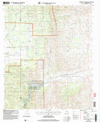
 2001 South Taylor Tank2003 Print · USGSChaves and Otero counties are mapped at the turn of the millennium, showing the remote high-desert terrain within the Lincoln National Forest. Researchers can trace old ranching infrastructure and forest access routes like Bronc Road, South Taylor Tank, and Sargent Canyon.
 - 2004 Map of Chimney Lake, 2006 Print
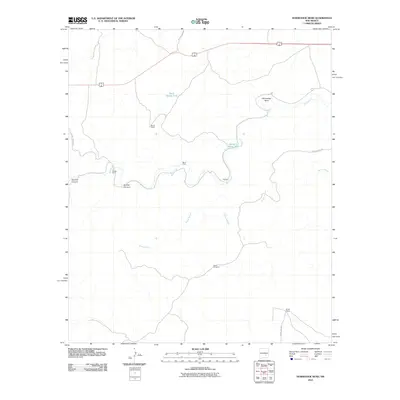
 2004 Chimney Lake2006 Print · USGSHigh desert ranching and forest lands in Chaves County are mapped here just after the turn of the millennium. Researchers can trace historic family holdings like Jernigan Ranch and Stevenson Ranch amidst landmarks like Chimney Lake.
 - 2004 Map of Elk, 2006 Print
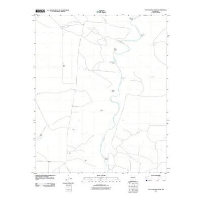
 2004 Elk2006 Print · USGSHigh-altitude ranching and forest lands are documented here at the turn of the millennium near the Otero and Chaves county line. Researchers can locate family landmarks like the Elk Cem and trace the winding course of the Rio Peñasco past Wind Mountain.
 - 2004 Map of Robertson Canyon, 2006 Print
 2004 Robertson Canyon2006 Print · USGSThe high Sacramento Mountains at the Chaves and Otero county line are documented here in the early 2000s, showing a rugged ranching landscape. Researchers can locate remote burial sites at Cox Cem and trace livestock history through family-named sites like Graves and an Open Pit Mine.
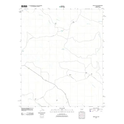
 - 2010 Map of Haystack Butte, 2010 Print
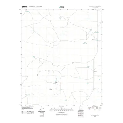 2010 Haystack Butte2010 Print · USGSCovers Chaves County, including United States, New Mexico, and other nearby areas
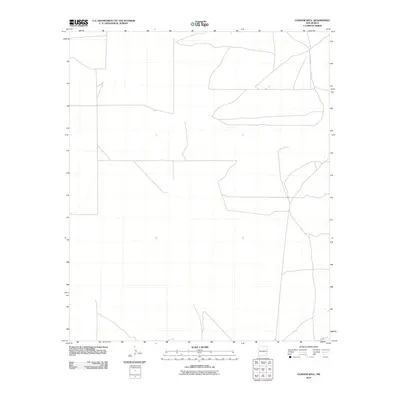
 - 2010 Map of Connor Well, 2010 Print
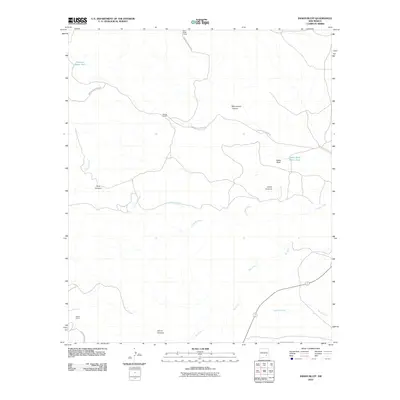
 2010 Connor Well2010 Print · USGSCovers Chaves County, including United States, New Mexico, and other nearby areas
 - 2010 Map of Indian Bluff, 2010 Print
 2010 Indian Bluff2010 Print · USGSCovers Chaves County, including United States, New Mexico, and other nearby areas
 - 2010 Map of Sardine Lake, 2010 Print
 2010 Sardine Lake2010 Print · USGSCovers Chaves County, including United States, New Mexico, and other nearby areas
 - 2010 Map of Cottonwood Draw, 2010 Print
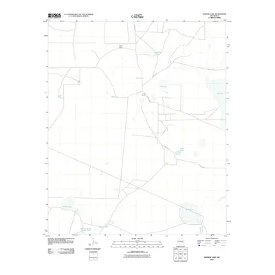
 2010 Cottonwood Draw2010 Print · USGSCovers Chaves County, including United States, New Mexico, and other nearby areas
 - 2010 Map of Chivata Canyon, 2010 Print
 2010 Chivata Canyon2010 Print · USGSCovers Chaves County, including Lincoln County, United States, and other nearby areas
 - 2010 Map of Elkins, 2010 Print
 2010 Elkins2010 Print · USGSCovers Chaves County, including Elkins, United States, and other nearby areas
 - 2010 Map of Lucky Lake, 2010 Print
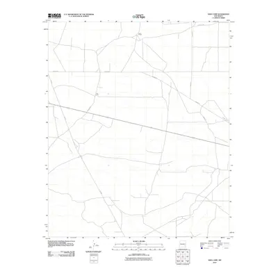
 2010 Lucky Lake2010 Print · USGSCovers Chaves County, including United States, New Mexico, and other nearby areas
 - 2010 Map of Acme, 2010 Print
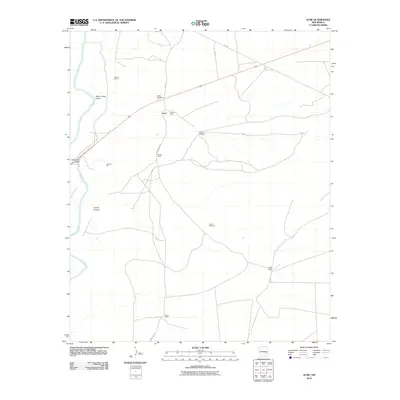 2010 Acme2010 Print · USGSCovers Chaves County, including Acme, United States, and other nearby areas
 - 2010 Map of King Camp, 2010 Print
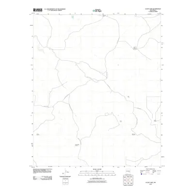
 2010 King Camp2010 Print · USGSCovers Chaves County, including United States, New Mexico, and other nearby areas
 - 2010 Map of White Flat, 2010 Print
 2010 White Flat2010 Print · USGSCovers Chaves County, including Lincoln County, United States, and other nearby areas
 - 2010 Map of Shannon Draw, 2010 Print
 2010 Shannon Draw2010 Print · USGSCovers Chaves County, including McDermott Wells, United States, and other nearby areas
 - 2010 Map of Haystack Mountain, 2010 Print
 2010 Haystack Mountain2010 Print · USGSCovers Chaves County, including United States, New Mexico, and other nearby areas
 - 2010 Map of Elsie Canyon, 2010 Print
 2010 Elsie Canyon2010 Print · USGSCovers Chaves County, including Lincoln County, United States, and other nearby areas
 - 2010 Map of North Lake, 2010 Print
 2010 North Lake2010 Print · USGSCovers Chaves County, including Lincoln County, United States, and other nearby areas
 - 2010 Map of Horseshoe Bend, 2010 Print
 2010 Horseshoe Bend2010 Print · USGSCovers Chaves County, including Lincoln County, United States, and other nearby areas
 - 2010 Map of Hackberry Ranch, 2010 Print
 2010 Hackberry Ranch2010 Print · USGSCovers Chaves County, including United States, New Mexico, and other nearby areas
 - 2010 Map of L E Ranch, 2010 Print
 2010 L E Ranch2010 Print · USGSCovers Chaves County, including United States, New Mexico, and other nearby areas
 - 2010 Map of Corn Ranch, 2010 Print
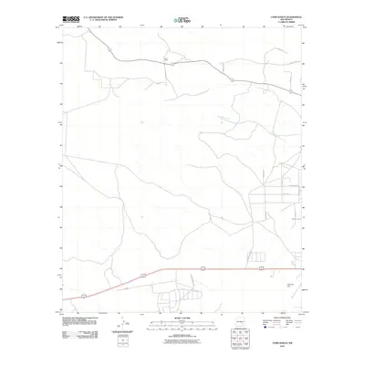 2010 Corn Ranch2010 Print · USGSCovers Chaves County, including United States, New Mexico, and other nearby areas
Showing maps 1-25 of 636
Top cities of Chaves County
Frequently asked questions
- What are the different types of historical maps available for Chaves County?
- What is the oldest map of Chaves County?
- Where can I purchase historical maps of Chaves County for my home or office?
- Where can I download high-res historical maps of Chaves County?
- Are there historical topographic maps available for Chaves County?
- Is there historical aerial imagery available for Chaves County?
- Where are historical maps of Chaves County sourced from?