2010s Maps of Chaves County, New Mexico
Explore 378 historic maps of Chaves County from the 2010s. These maps offer a rare glimpse into what life looked like during the 2010s — showing old roads, neighborhoods, homes, and landmarks that have changed or disappeared over time.
Whether you're researching your family's past, planning a metal detecting trip, or studying how Chaves County's landscape evolved across the 2010s, these high-resolution maps are a powerful tool for exploring the history of this region.
- Focus on a specific era: All maps on this page are from the 2010s, giving you a focused view of this time period.
- See what’s changed: Compare century-old streets, trails, and buildings to today's modern landscape using overlays and satellite layers.
- Research with precision: Use these maps for genealogy, historical research, land use analysis, or educational projects.
- View, download, or print: Maps are fully viewable online in high resolution, and can be downloaded or printed for your own records.
Start exploring Chaves County's history through authentic maps from the 2010s. This is your window into the past.
Chaves County, NM maps
(378)- 2010 Map of Haystack Butte, 2010 Print
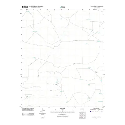 2010 Haystack Butte2010 Print · USGSChaves County ranching lands in the early 2000s are defined by isolated homesteads and essential water catchments. Genealogists and historians can trace the footprints of the South Van Eaton Ranch and Cooper Ranch near landmarks like Haystack Butte.
 - 2010 Map of Connor Well, 2010 Print
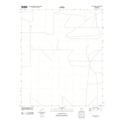 2010 Connor Well2010 Print · USGSChaves County ranchlands are documented here in the early 2000s, showing a remote landscape of livestock operations and desert outposts. Family historians can trace the footprints of the Wade Ranch, Malstrom Ranch, and the eponymous Connor Well.
 - 2010 Map of Indian Bluff, 2010 Print
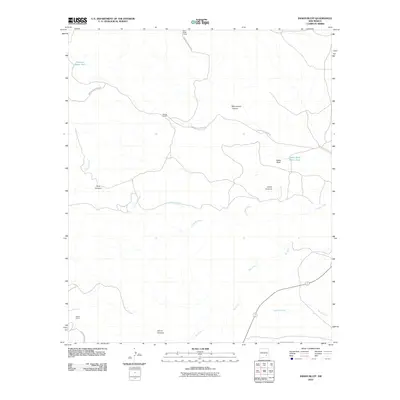 2010 Indian Bluff2010 Print · USGSChaves County ranching lands are captured here in the early twenty-first century, showing the remote canyon systems of south-central New Mexico. Researchers can locate specific high-desert outposts like McGee Ranch and Twin Butte Camp or trace the course of Rio Felix.
 - 2010 Map of Sardine Lake, 2010 Print
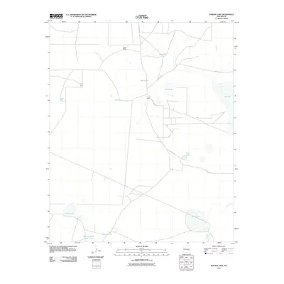 2010 Sardine Lake2010 Print · USGSArid Chaves County ranchlands are captured here in the early twenty-first century, showing a landscape defined by vital water sources. Researchers can trace the layout of the O'Brien Ranch and find curiously named features like Madison Square Garden Tank and Moon Tank.
 - 2010 Map of Cottonwood Draw, 2010 Print
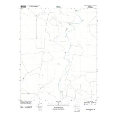 2010 Cottonwood Draw2010 Print · USGSChaves County ranchlands are documented here in the early twenty-first century, showing a landscape defined by the Pecos River and its vital water sources. Researchers can trace rural property boundaries and infrastructure at Benedict Ranch, Cottonwood Ranch, and the isolated River Windmill.
 - 2010 Map of Chivata Canyon, 2010 Print
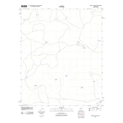 2010 Chivata Canyon2010 Print · USGSChaves County ranching life is documented here in the early twenty-first century, showing a landscape defined by water management and isolated homesteads. Researchers can trace the infrastructure of the Circle F Ranch and locate remote landmarks like North Windmill and Treasure Canyon.
 - 2010 Map of Elkins, 2010 Print
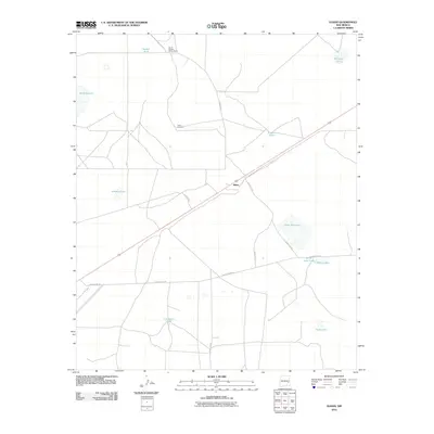 2010 Elkins2010 Print · USGSThe high plains of Chaves County in the early 2000s are captured here, centered on the settlement of Elkins. Trace the ranching landscape through landmarks like Smith Windmill, the South Chatten-Muncy Ranch, and water sources like Little Red Lake.
 - 2010 Map of Lucky Lake, 2010 Print
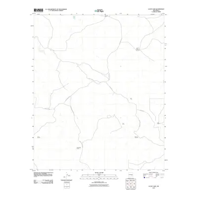 2010 Lucky Lake2010 Print · USGSChaves County ranching lands are captured here during the early twenty-first century, showing the functional layout of a high-plains livestock operation. Researchers can trace the network of water sources and outposts like Horse Pasture Windmill, Well Camp, and Buchanan Ranch.
 - 2010 Map of Acme, 2010 Print
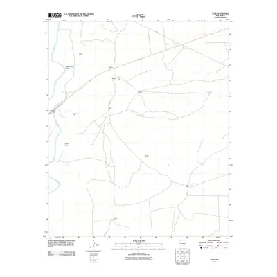 2010 Acme2010 Print · USGSThe Pecos River valley and the industrial site of Acme are documented here in the early 2000s. Researchers can trace land use through cattle holdings like Kitchen Ranch and Dallas Ranch or locate the Frazier Cemetery near the river crossing.
 - 2010 Map of King Camp, 2010 Print
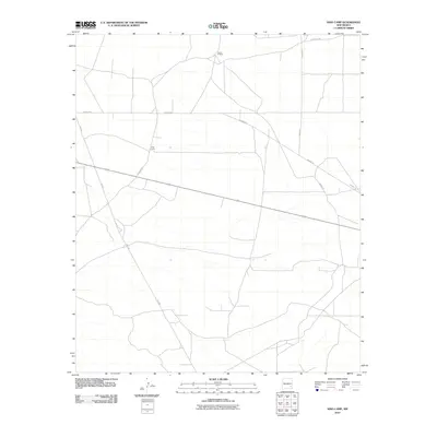 2010 King Camp2010 Print · USGSChaves County ranchlands are documented here at the start of the 2010s, showing the isolated outposts of the New Mexico desert. Genealogists and local historians can trace the specific rural road network and reach remote landmarks like King Camp and Anchor D Ranch.
 - 2010 Map of White Flat, 2010 Print
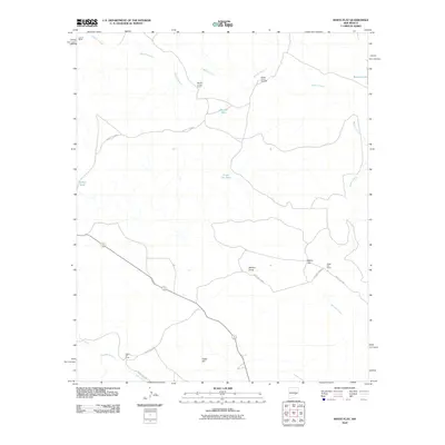 2010 White Flat2010 Print · USGSChaves County's ranching landscape is captured here in the early 2000s, showcasing the isolated outposts of the high plains. Genealogists and local historians can trace the footprints of established cattle operations like Middle Arroyo Ranch and White Flat Ranch.
 - 2010 Map of Shannon Draw, 2010 Print
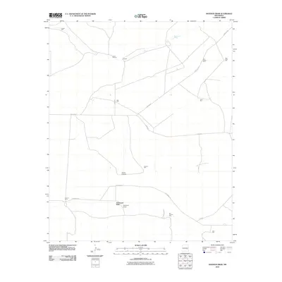 2010 Shannon Draw2010 Print · USGSChaves County ranchlands are documented here in the early 2000s, showing a landscape shaped by the necessity of water. Researchers can trace the legacy of high-desert ranching through named features like Fivemile Ranch, Rock House Springs, and McDermott Wells.
 - 2010 Map of Haystack Mountain, 2010 Print
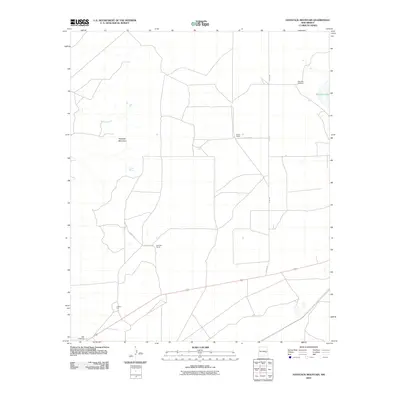 2010 Haystack Mountain2010 Print · USGSChaves County ranching life is documented here during the first decade of the 2000s. Genealogists and historians can locate family-named properties like Smith Ranch and Faircloth Ranch alongside the Samples Windmill and Leslie Spring.
 - 2010 Map of Elsie Canyon, 2010 Print
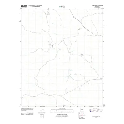 2010 Elsie Canyon2010 Print · USGSChaves County ranching lands are captured here during the first decade of the 2000s, showcasing the isolated outposts of the New Mexico desert. Researchers can trace the holdings at Salt Creek Ranch and Porter Ranch or locate water sources like Antelope Lake.
 - 2010 Map of North Lake, 2010 Print
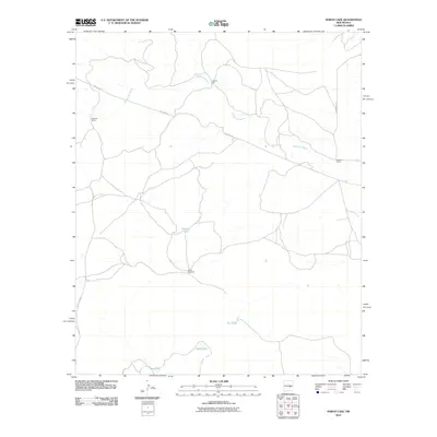 2010 North Lake2010 Print · USGSChaves County's high desert ranching country is documented here in the early 21st century. Researchers and genealogists can trace the infrastructure of historic landholdings such as McNally Ranch and Johnson Ranch or locate water features like Lafferty Well.
 - 2010 Map of Horseshoe Bend, 2010 Print
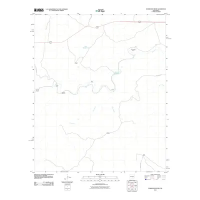 2010 Horseshoe Bend2010 Print · USGSChaves County ranching and farming operations are documented here in the early twenty-first century, centered on the winding Rio Hondo. Genealogists and historians can locate family-named sites like Nuñez Ranch and Bar H Farm or trace the route of Baton Rouge Rd.
 - 2010 Map of Hackberry Ranch, 2010 Print
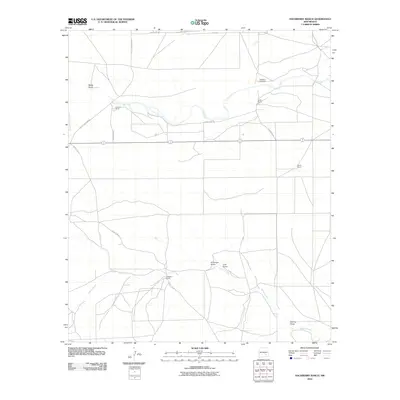 2010 Hackberry Ranch2010 Print · USGSChaves County rangeland is captured here in the early 2000s, showing a landscape defined by seasonal waters and isolated homesteads. Genealogists and historians can trace the footprints of Hackberry Ranch, Casarez Ranch, and the Hackberry Ranch Pit among the draws.
 - 2010 Map of L E Ranch, 2010 Print
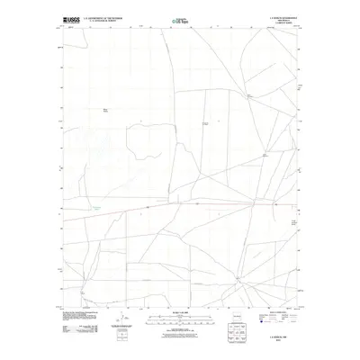 2010 L E Ranch2010 Print · USGSChaves County ranchlands are captured here in the early 2000s, showing a landscape defined by isolated homesteads and vital water points. Researchers can trace the layout of the namesake L-E Ranch and locate working landmarks like the Petty Windmill and Red Lake Tank.
 - 2010 Map of Corn Ranch, 2010 Print
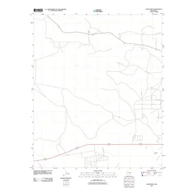 2010 Corn Ranch2010 Print · USGSChaves County ranching lands and early 21st-century residential growth meet in this 2010 survey. Researchers can trace the path of Berrendo Creek and locate family-named landmarks like Corn Ranch alongside newer developments on Tierra Grande Blvd.
 - 2010 Map of Henshaw Tank, 2010 Print
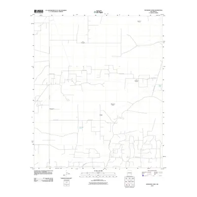 2010 Henshaw Tank2010 Print · USGSChaves County's energy landscape is captured here in the early twenty-first century as oil production shaped the high desert. Trace the industrial footprint of the Cedar Point Oil Field and the vital water locations of Henshaw Tank and Bogle Tank.
 - 2010 Map of Comanche Spring, 2010 Print
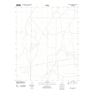 2010 Comanche Spring2010 Print · USGSChaves County's expansive ranchlands are captured here in the early twenty-first century, showing the enduring infrastructure of the New Mexico plains. Researchers can trace local transit and land boundaries along Alamo Rd, Hachita Rd, and County Rd-78.
 - 2010 Map of Kincaid Ranch, 2010 Print
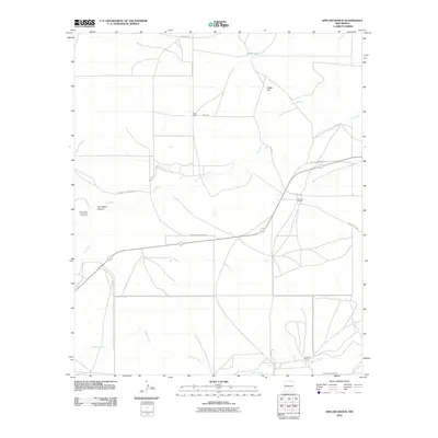 2010 Kincaid Ranch2010 Print · USGSChaves County ranching life is well-documented in this early 21st-century survey of the New Mexico plains. Researchers can trace historic property boundaries and water sources like Kincaid Ranch, Price Ranch, and the winding Rio Felix.
 - 2010 Map of Olive, 2010 Print
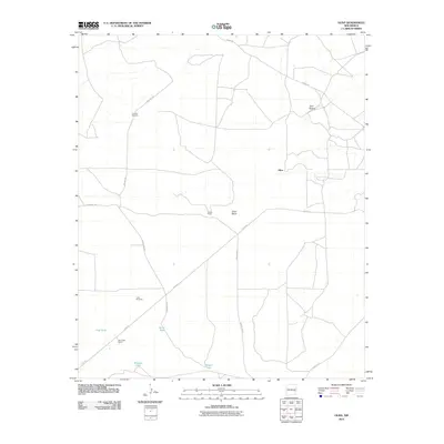 2010 Olive2010 Print · USGSChaves County rangeland and isolated ranching outposts are mapped here as they appeared in 2010. Researchers can trace land use through naming conventions at the Gainer Ranch, follow the track of Olive Rd, and locate water sources like Bar V Tank.
 - 2010 Map of Maljamar NE, 2010 Print
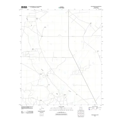 2010 Maljamar NE2010 Print · USGSLea County's high desert landscape is documented here during the early twenty-first century, showing a region shaped by energy and cattle. Researchers can trace historical property lines and infrastructure through Bond Ranch, Taylor Peak, and the South Caprock Oil Field.
 - 2010 Map of Hernandez Lake, 2010 Print
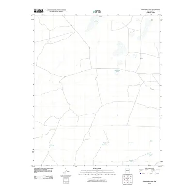 2010 Hernandez Lake2010 Print · USGSEastern New Mexico ranching lands are captured in the early 21st century, showing a remote landscape shaped by essential water sources. Genealogists and historians can locate specific outposts like West Camp and named local landmarks including Hernandez Lake and Grandpa Tank.
Showing maps 1-25 of 378
Top cities of Chaves County
Frequently asked questions
- What are the different types of historical maps available for Chaves County?
- What is the oldest map of Chaves County?
- Where can I purchase historical maps of Chaves County for my home or office?
- Where can I download high-res historical maps of Chaves County?
- Are there historical topographic maps available for Chaves County?
- Is there historical aerial imagery available for Chaves County?
- Where are historical maps of Chaves County sourced from?